Plizio Visual Lab
Måløy
ℹ️Practical info — Måløy
▾
🌤 Weather — 5 days
📍 Nearby
Sights nearby
💡 Tips
- Don't miss the Kannesteinen rock, a unique mushroom-shaped formation on the coast-best visited at low tide.
- Take a walking tour of the town center to spot the impressive street art and massive maritime murals.
- Coastal weather changes in minutes, so always pack layers and a windproof jacket.
- Driving across the Måløy Bridge is highly scenic, but be prepared for strong crosswinds.
🍽 Food
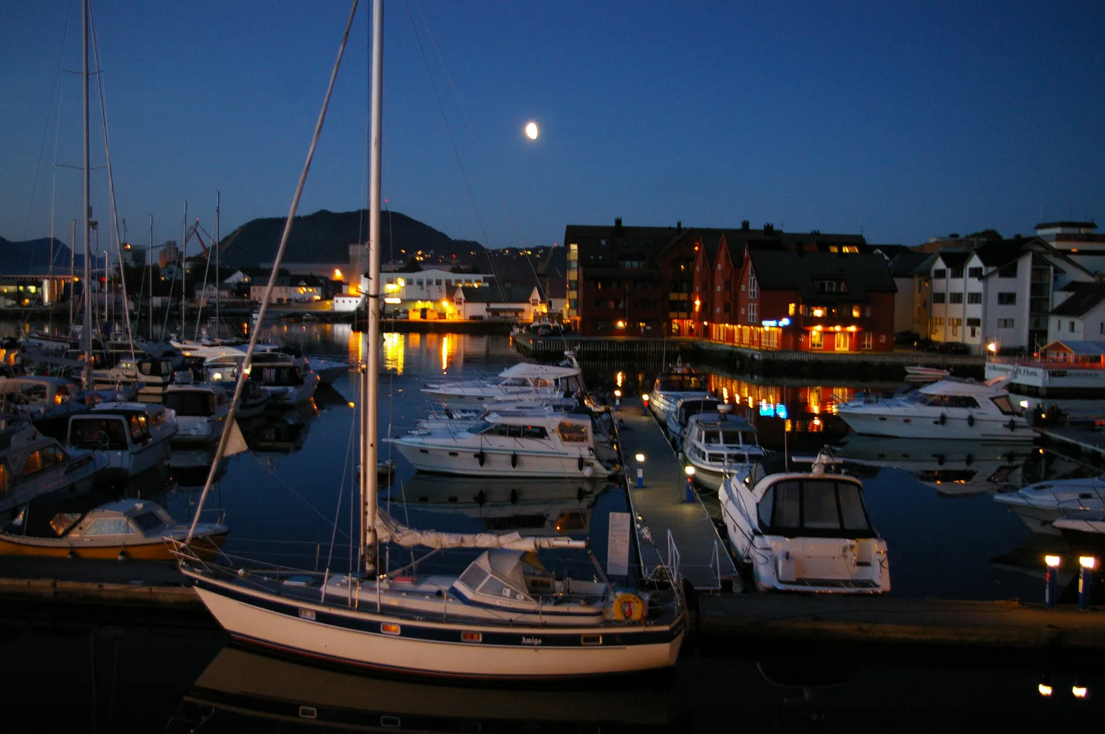
Enjoy excellent, freshly caught seafood at the cozy restaurants right by the bustling fishing harbor.
Try this traditional dish made from salted and dried cod, a true staple of the region.
Grab some warm Norwegian fish cakes from a local deli or bakery for a quick and savory snack.
🛍 Shopping · 🧘 Quiet spots
The main street is a great place to buy durable rain gear and traditional thick wool sweaters.
Look for small, ocean-themed souvenirs in the independent shops near the harbor.
A remarkable beach with unique silver sand, excellent for a solitary and peaceful walk along the surf.
While it can be windy, the area around this remote lighthouse provides a beautifully rugged and quiet escape.
Water temperature…
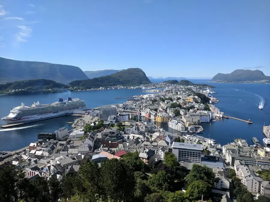
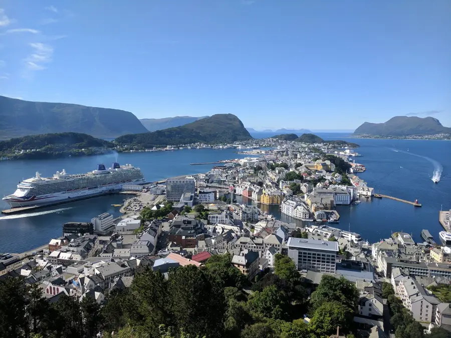
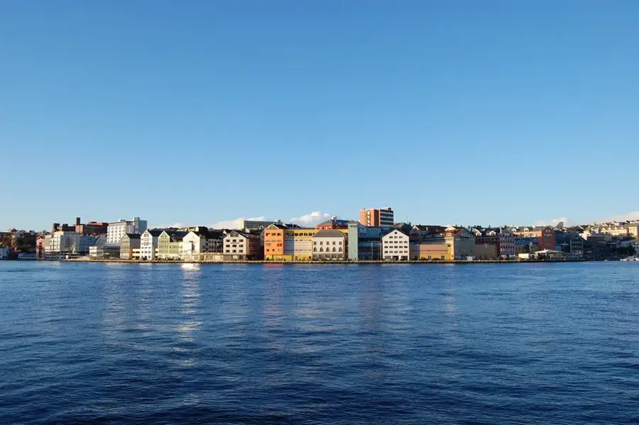
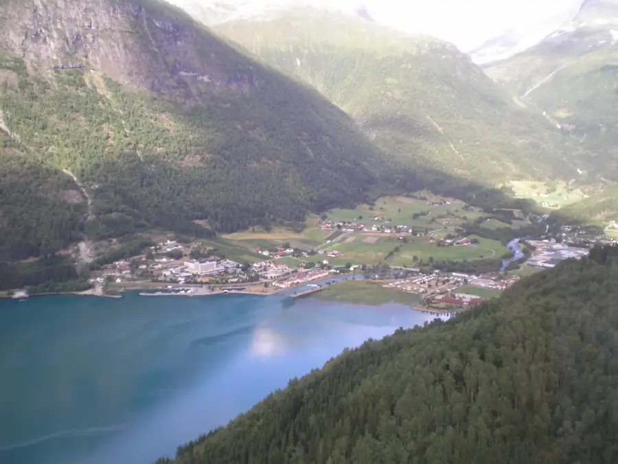
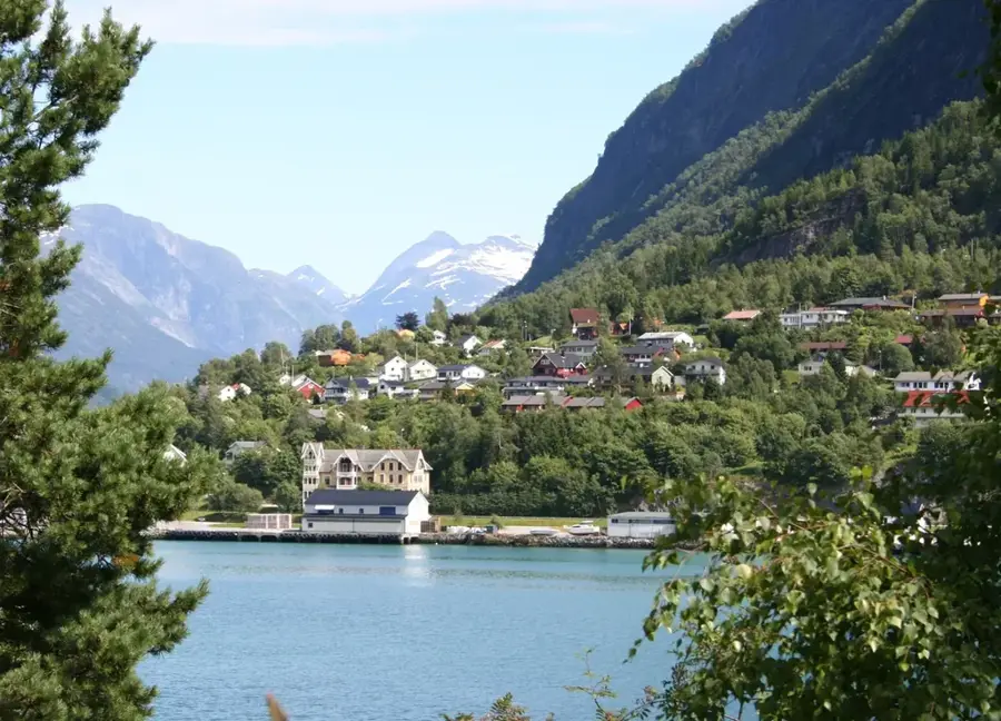
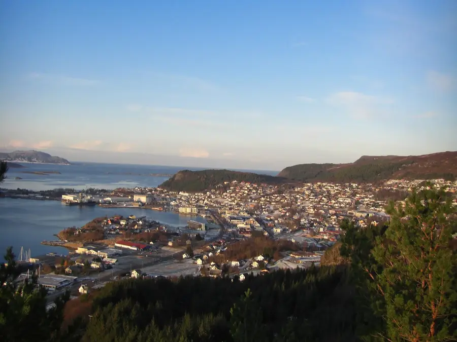
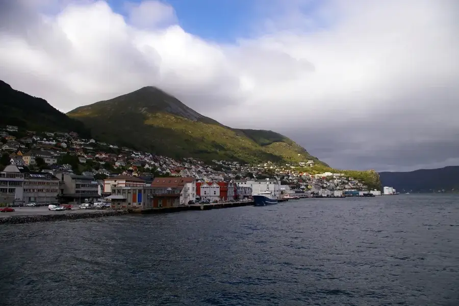
Måløy is located on the island of Vågsøy along the western coast of Norway and stands as one of the nation's premier fishing ports. The town is linked to the mainland by the impressive 1,224-meter-long Måløy Bridge. Historically, Måløy is notable for 'Operation Archery', a successful British commando raid in December 1941 aimed at destroying German coastal infrastructure. Today, it thrives as a modern hub for fish processing, maritime technology, and shipping services. A major natural attraction nearby is Kannesteinen, a unique mushroom-shaped rock sculpted by thousands of years of tidal erosion. The area is also famous for its rugged coastal lighthouses, such as Kråkenes Lighthouse, which perches dramatically on a cliff facing the North Atlantic. Måløy frequently hosts the Tall Ships Races, bringing majestic sailing vessels to its harbor. The surrounding coast is a prime spot for deep-sea fishing and experiencing the raw power of Atlantic storms.
- Location: Norway
- Top sights: Skramsvatnet · Blaali fort · Nakken
- Nearby: Flatraket (8 km)
- Population: ~3.343
Best time to visit & climate
The most pleasant time to visit is Jun–Aug.
| Jan | Feb | Mar | Apr | May | Jun | Jul | Aug | Sep | Oct | Nov | Dec | |
|---|---|---|---|---|---|---|---|---|---|---|---|---|
| Avg °C | 2 | 2 | 3 | 5 | 8 | 11 | 14 | 14 | 12 | 8 | 5 | 3 |
| Rain mm | 196 | 164 | 154 | 112 | 104 | 104 | 131 | 165 | 208 | 189 | 203 | 220 |
Geography
Facts
- The Måløy Bridge was Norway's longest when it opened in 1973.
- Operation Archery took place on December 27, 1941.
- The Kannesteinen rock is located in the nearby village of Oppedal.
- Måløy was officially granted town status in 1997.
- Kråkenes Lighthouse now operates as a weather station and guesthouse.
- The town is a major hub for the international export of mackerel and herring.
Explore nearby
Notable places around
Route planner — Car & Motorhome
Where do you start? We build the route here, with stops and country notes along the way.
© OpenStreetMap contributors · OpenRouteService
Sights in the town Måløy (5)
Frequently asked questions
What is Kannesteinen?
Are there beaches in Måløy?
What is the Måløy Raid Center?
Which lighthouses are near Måløy?
How do you get to Måløy?
Måløy: where is it located?
Måløy: what is there to see?
Måløy: when is the best time to visit?
Måløy: why is it worth visiting?

Nearby cities