Plizio Visual Lab
Stogovo Mountain
Weather…
Water temperature…
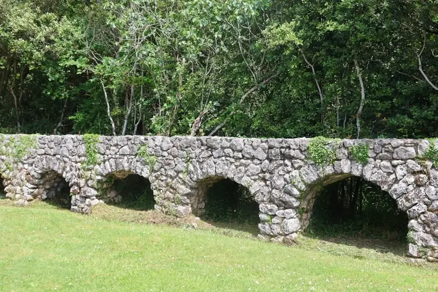
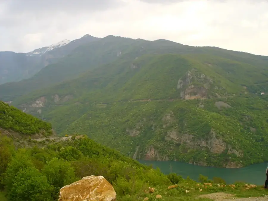
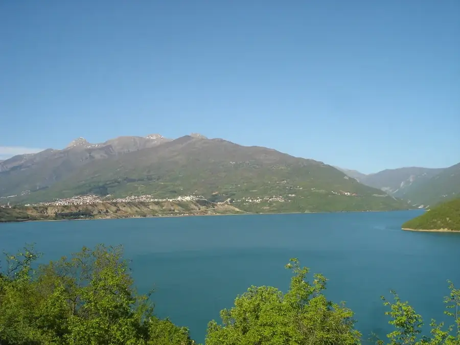
Stogovo Mountain is located in western North Macedonia, bordering Albania. Its highest peak is Velivar at 2,377 meters. The mountain is part of the Prokletije range, composed of limestone and dolomite. Known for steep slopes and deep valleys. Vegetation includes coniferous forests and alpine meadows. Wildlife is rich, including brown bears, wolves, and lynx. Mavrovo National Park is nearby. The mountain is an important watershed for rivers flowing into the Black Drin. Historically, the area was known for sheep farming. Today it attracts hikers and mountaineers, but remains underdeveloped due to remoteness. The highest settlements are at about 1,200 meters. Stogovo provides some of the most pristine landscapes in North Macedonia.
- Location: North Macedonia
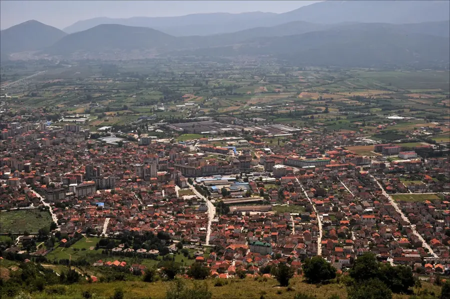
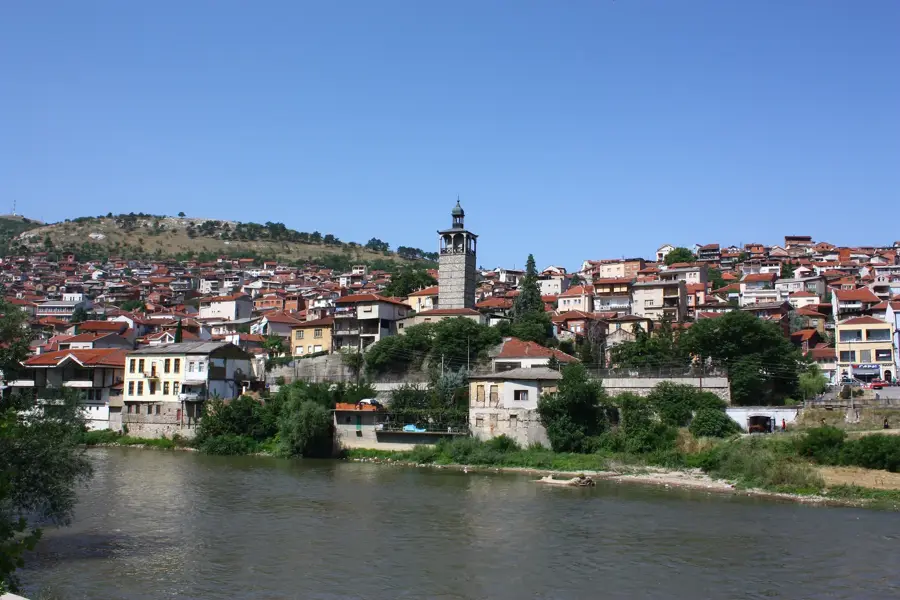
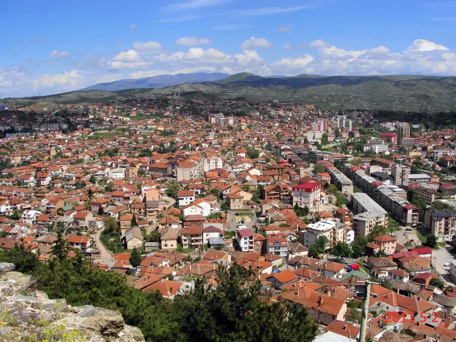
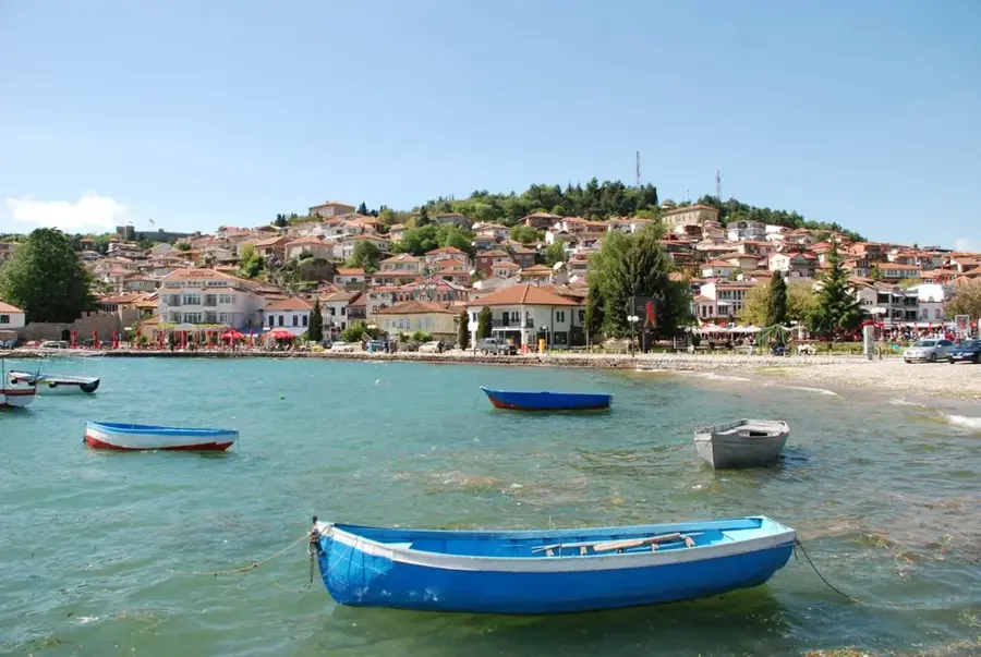
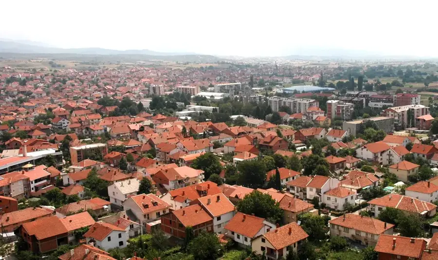
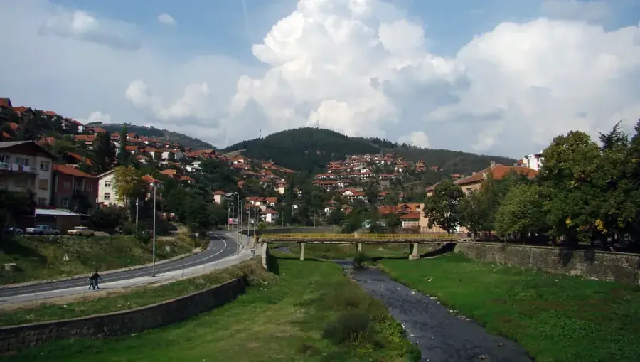
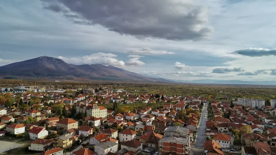
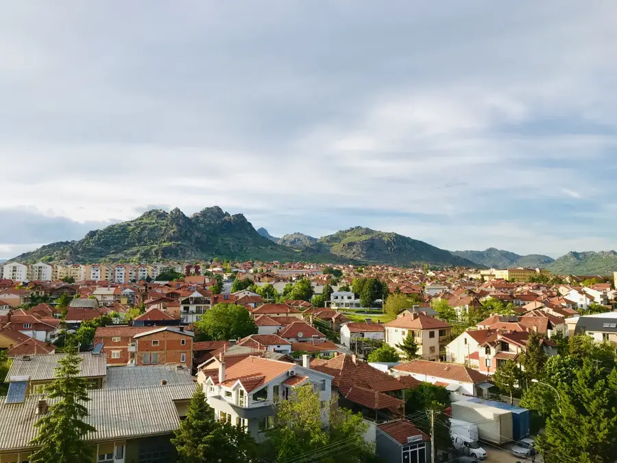
- Nearby: Debar (13 km)
Best time to visit & climate
The most pleasant time to visit is Jun–Aug.
| Jan | Feb | Mar | Apr | May | Jun | Jul | Aug | Sep | Oct | Nov | Dec | |
|---|---|---|---|---|---|---|---|---|---|---|---|---|
| Avg °C | -2 | -1 | 3 | 7 | 12 | 16 | 20 | 20 | 15 | 10 | 5 | 0 |
| Rain mm | 74 | 66 | 65 | 63 | 65 | 47 | 33 | 32 | 68 | 82 | 89 | 85 |
📋 Practical info
Geography
Facts
- Velivar Peak is 2,377 m high.
- The range extends over 25 km length.
- The treeline is at about 1,900 m.
- There is a population of about 10 lynx in the region.
- The Radika River originates here, 30 km long.
- Average summer high temperature is 18 °C.
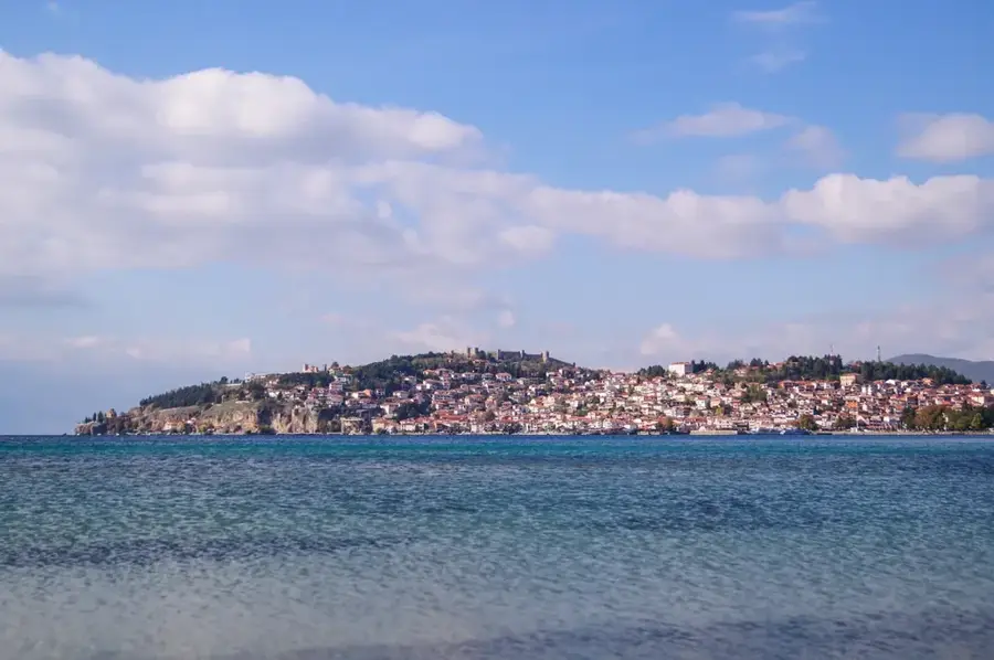
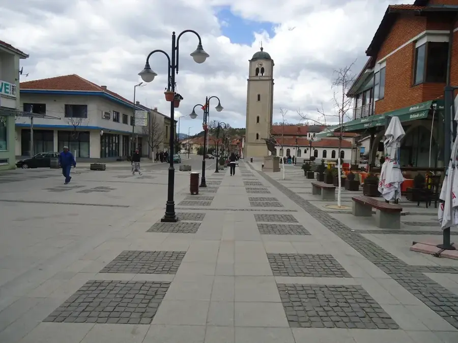
Explore nearby
Notable places around
Route planner — Car & Motorhome
Where do you start? We build the route here, with stops and country notes along the way.
© OpenStreetMap contributors · OpenRouteService
Sights nearby
Frequently asked questions
Where is the Stogovo mountain range located?
What is the highest point of Stogovo?
Is the mountain suitable for beginners?
Are there wild animals there?
When should you visit Stogovo?
Stogovo Mountain: where is it located?
Stogovo Mountain: when is the best time to visit?
Stogovo Mountain: why is it worth visiting?

Nearby cities