Plizio Visual Lab
Desat Peak
Weather…
Water temperature…
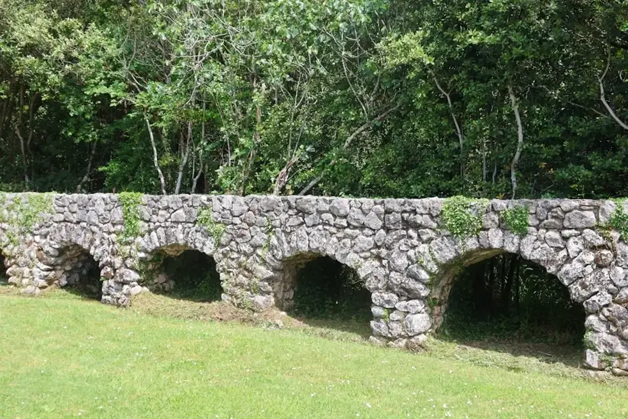
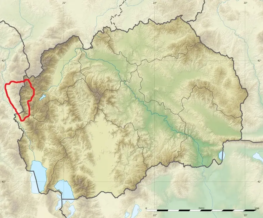
The Desat mountain range, also known as Deshat, is part of the massive Shar-Korab system on the border between North Macedonia and Albania. Its highest peaks are Velivar, standing at 2,375 meters, and Krchin at 2,343 meters. Geologically, the range is characterized by steep limestone cliffs and deep valleys carved by glaciers. The region is renowned for its pristine nature and extreme elevation changes, which support a diverse flora ranging from subalpine forests to high-alpine meadows. Historically, the mountains served as a natural barrier and a place of refuge, with ancient shepherd paths still traversing the terrain. Wildlife includes rare species such as the brown bear and the golden eagle, which find protection in the inaccessible high-altitude areas. For experienced mountaineers, Desat features challenging routes and panoramic views across the Radika Valley to Mount Korab, the country's highest peak. Accessibility is often limited due to the proximity to the border and the rugged terrain.
- Location: North Macedonia
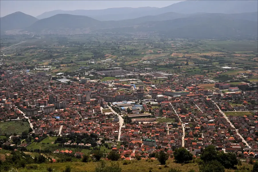
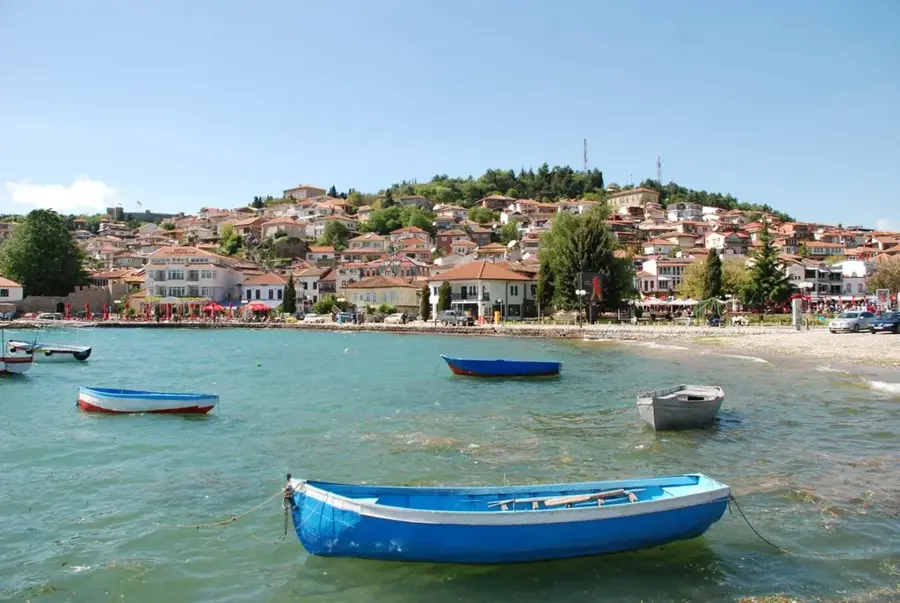
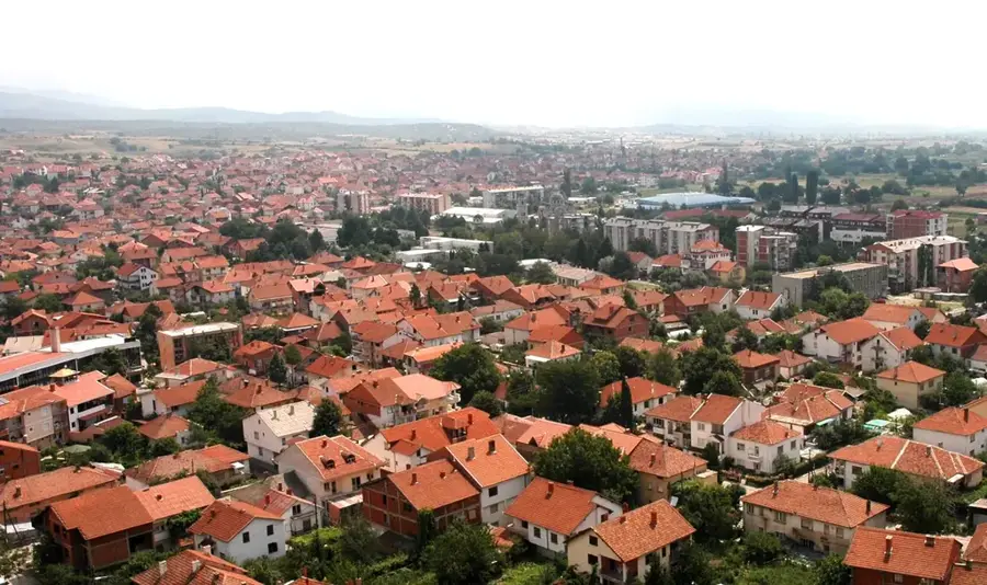
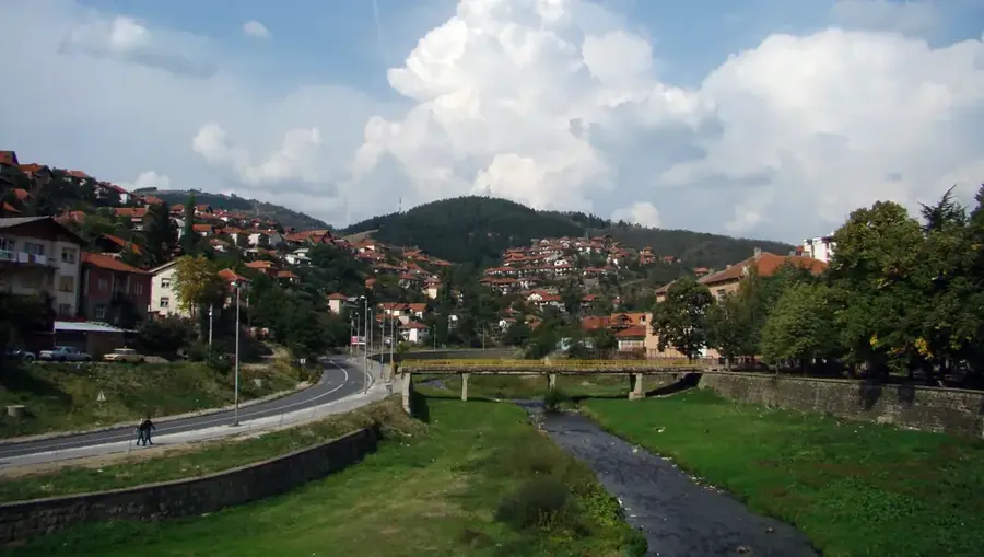
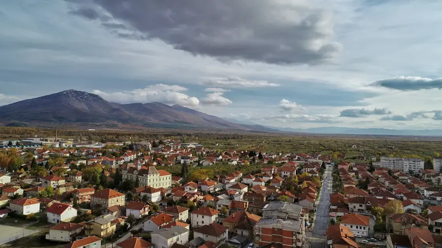
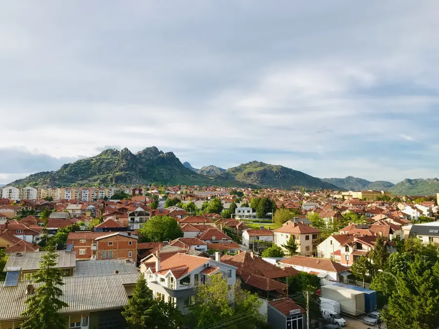
- Nearby: Debar (5 km)
Best time to visit & climate
The most pleasant time to visit is Jun–Aug.
| Jan | Feb | Mar | Apr | May | Jun | Jul | Aug | Sep | Oct | Nov | Dec | |
|---|---|---|---|---|---|---|---|---|---|---|---|---|
| Avg °C | -2 | -1 | 3 | 7 | 12 | 16 | 20 | 20 | 15 | 10 | 5 | 0 |
| Rain mm | 74 | 66 | 65 | 63 | 65 | 47 | 33 | 32 | 68 | 82 | 89 | 85 |
📋 Practical info
Geography
Facts
- Highest peak Velivar stands at 2,375 meters
- Part of the Shar-Korab mountain chain
- Border range between NM and Albania
- Features glacial valleys and karst topography
- Sanctuary for the endangered golden eagle
- Known for its steep limestone cliffs and gorges
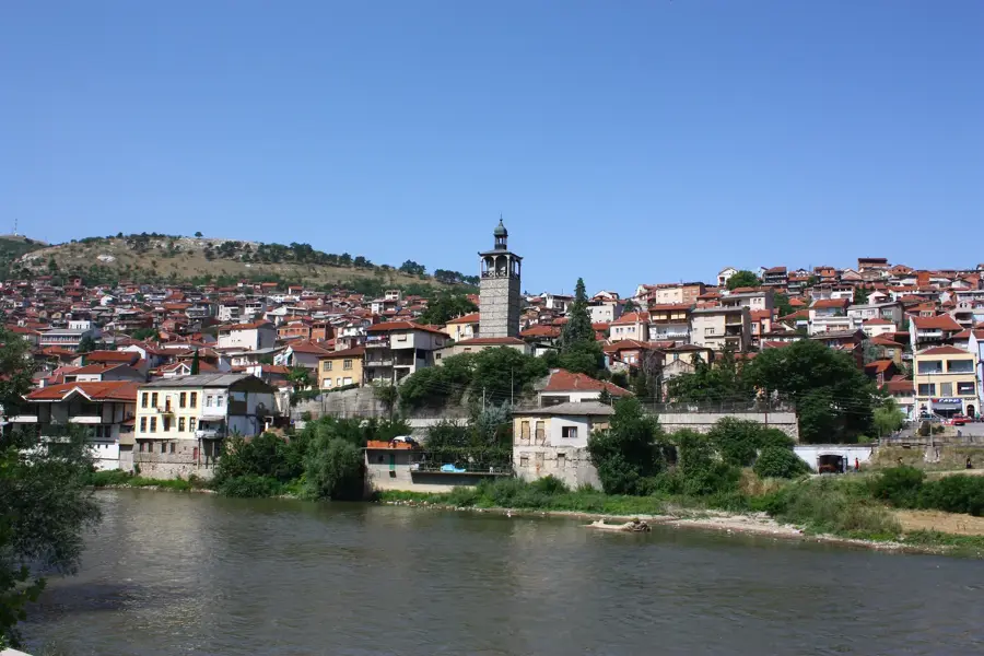
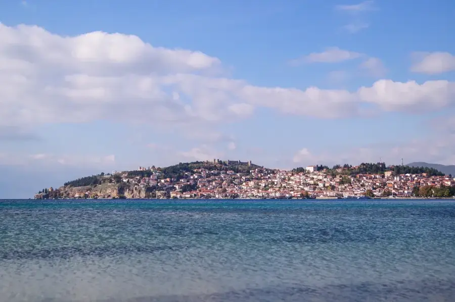
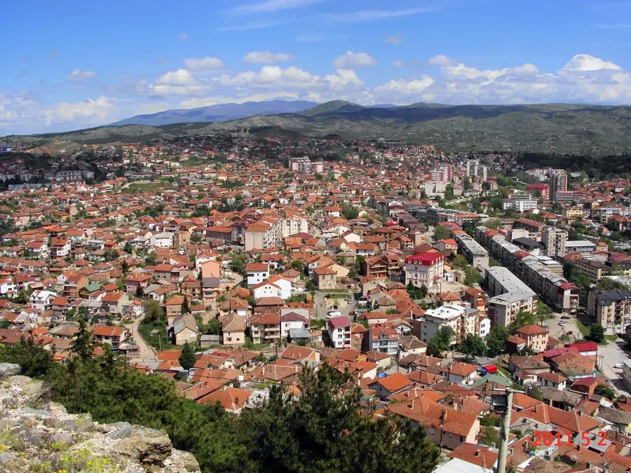
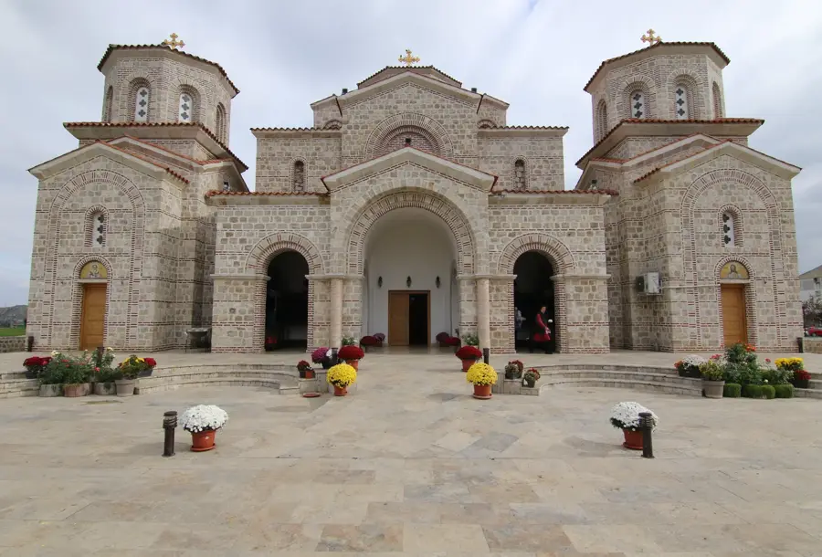
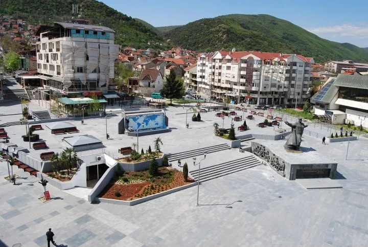
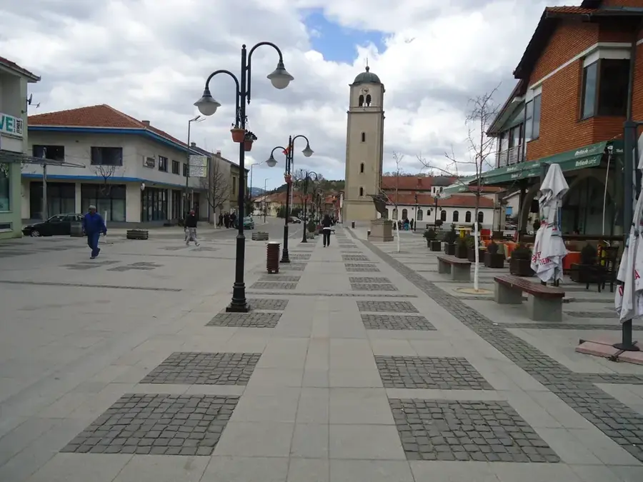
Explore nearby
Notable places around
Route planner — Car & Motorhome
Where do you start? We build the route here, with stops and country notes along the way.
© OpenStreetMap contributors · OpenRouteService
Sights nearby
Frequently asked questions
Where is the Desat peak located?
How high is the highest peak, Velivar?
Are there lakes there?
What is the flora like in the Dešat mountains?
Are the hiking trails well-marked?
Desat Peak: where is it located?
Desat Peak: when is the best time to visit?
Desat Peak: why is it worth visiting?

Nearby cities