Plizio Visual Lab
Desat Mountain

Weather…
Water temperature…
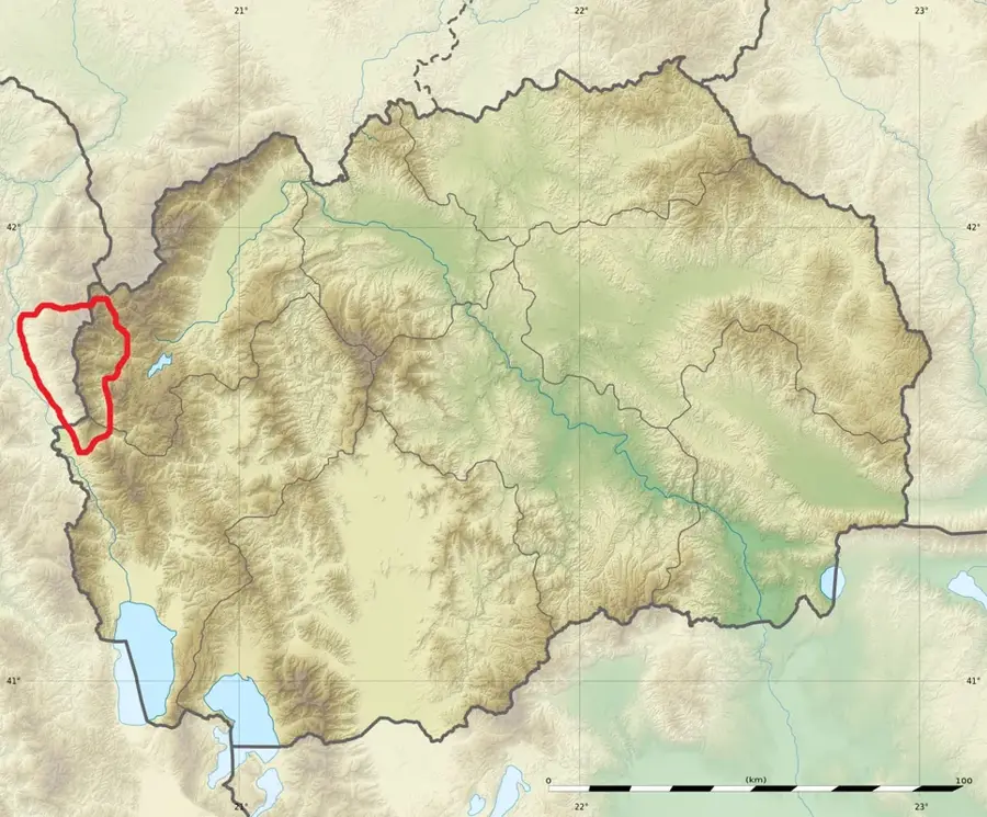
Desat is a mountain range in western North Macedonia that forms part of the border with Albania as part of the Korab-Koritnik massif. Its highest point on Macedonian territory is the Velivar peak, reaching an elevation of 2,375 meters. The mountain is characterized by steep slopes, deep glacial valleys, and numerous small mountain tarns formed by ancient ice movements. Its geological structure is dominated by limestone, which has resulted in the formation of sharp ridges and prominent peaks. Due to its isolated location, biodiversity is very high, with many rare plant species thriving in inaccessible rock crevices. The region was historically sparsely populated and mainly used for seasonal livestock grazing. Today, Desat is a favorite destination for hikers seeking alpine solitude away from major tourist routes. The view from Velivar features far-reaching panoramas over the Radika valley and the opposing peaks of the Korab massif.
- Location: North Macedonia
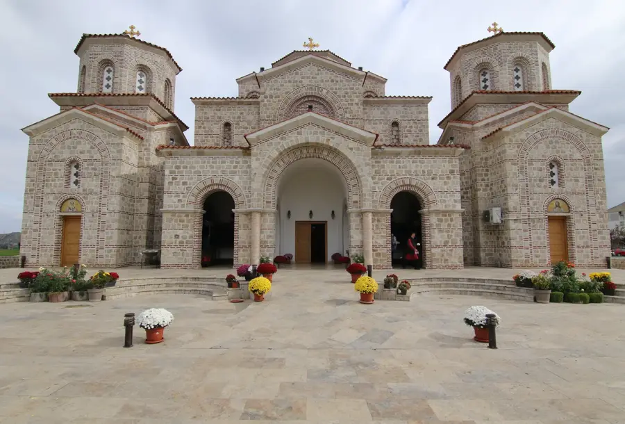
- Top sights: Introduction of the Holy Mother of God · St. Cosmas and Damian · Monastery of Rajchica
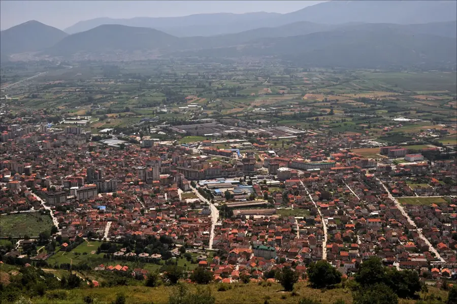
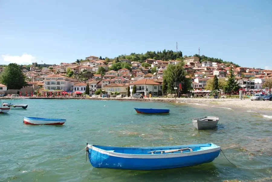
- Nearby: Galicnik (10 km)
Best time to visit & climate
The most pleasant time to visit is Jun–Aug.
| Jan | Feb | Mar | Apr | May | Jun | Jul | Aug | Sep | Oct | Nov | Dec | |
|---|---|---|---|---|---|---|---|---|---|---|---|---|
| Avg °C | -2 | -1 | 3 | 7 | 12 | 16 | 20 | 20 | 15 | 10 | 5 | 0 |
| Rain mm | 74 | 66 | 65 | 63 | 65 | 47 | 33 | 32 | 68 | 82 | 89 | 85 |
📋 Practical info
Geography
Facts
- The highest peak on the Macedonian side is Velivar (2,375 m).
- Part of the larger Korab-Koritnik mountain system.
- Forms the international border between North Macedonia and Albania.
- Known for its numerous small glacial mountain lakes.
- The range is geologically composed primarily of limestone.
- Home to rare alpine flora within a pristine natural environment.
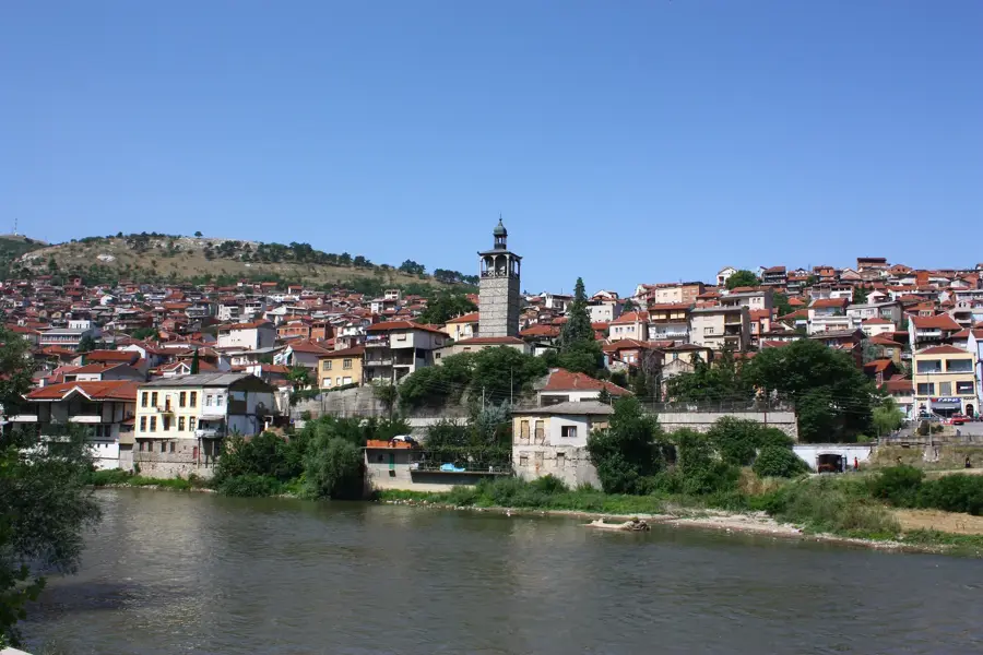
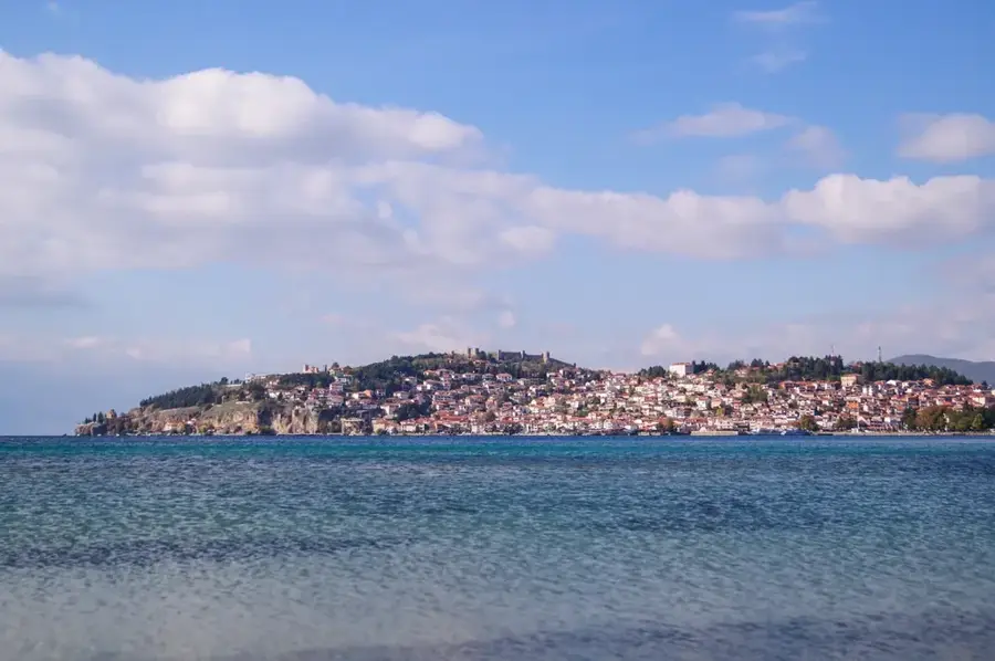
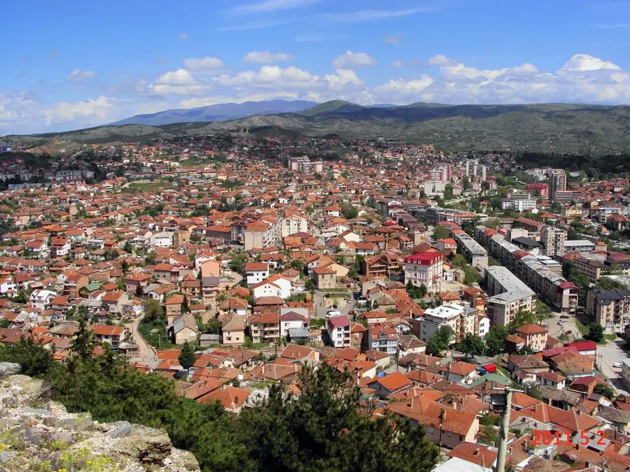
Explore nearby
Notable places around
Route planner — Car & Motorhome
Where do you start? We build the route here, with stops and country notes along the way.
© OpenStreetMap contributors · OpenRouteService
Sights in the town Desat Mountain (4)
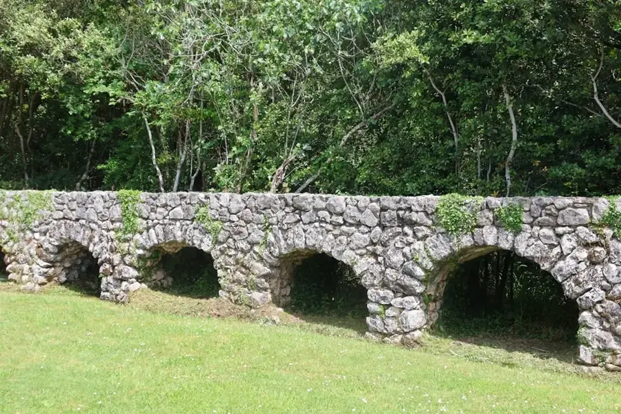
St. George the Victorious
Church in the Desat mountains, dedicated to Saint George.
Sights nearby
Frequently asked questions
Where is the Desat mountain range located?
What is the highest peak of Desat?
Are there lakes in the Desat mountains?
Which town lies at the foot of Desat?
Is ski touring possible there?
Desat Mountain: where is it located?
Desat Mountain: what is there to see?
Desat Mountain: when is the best time to visit?
Desat Mountain: why is it worth visiting?

Nearby cities