Plizio Visual Lab
Plackovica Range
Weather…
Water temperature…
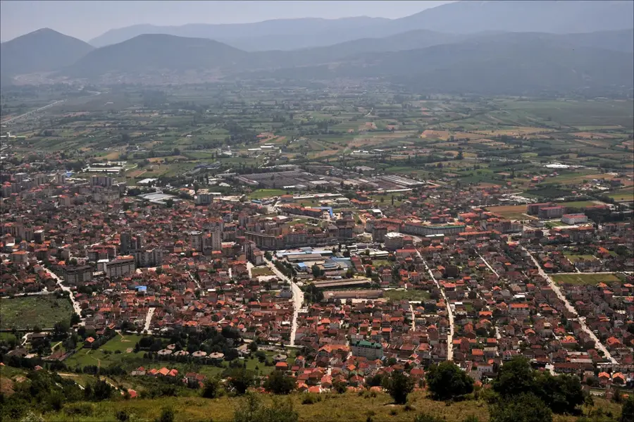
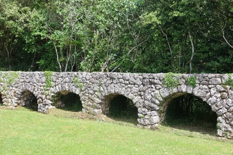
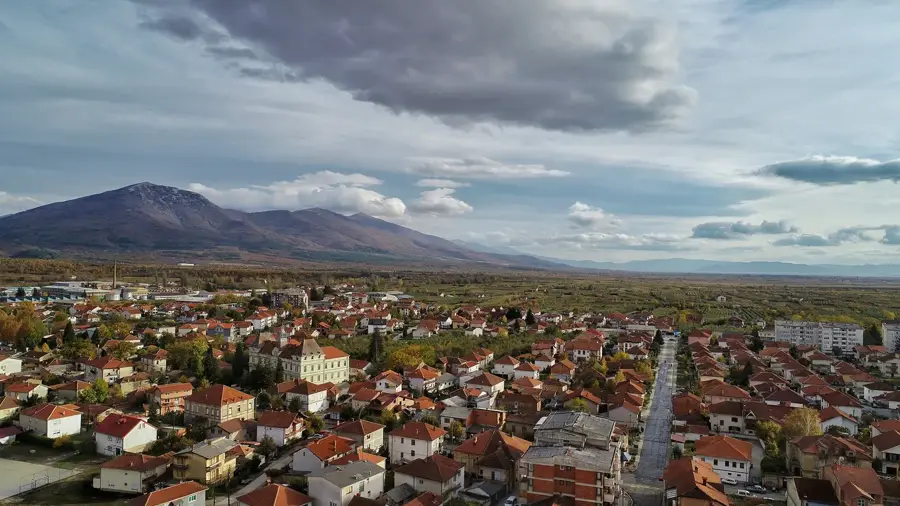
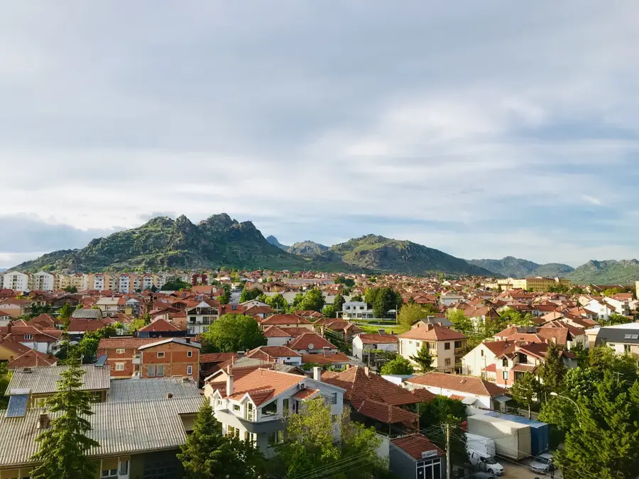
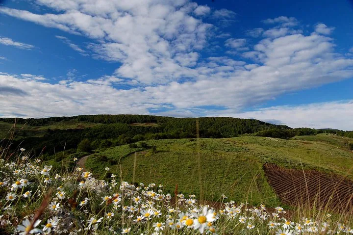
Plackovica is a medium-height mountain range in the eastern part of North Macedonia, stretching between the towns of Shtip, Radovish, and Vinica. Its highest peak is Lisec, standing at 1,754 meters. Geologically, the range belongs to the ancient Rhodope massif and consists primarily of crystalline shale, gneiss, and granite. The landscape is defined by gentle, forested hills and deep river valleys, making it good for hiking and recreation. The mountains are famous for their numerous caves, with the 'Ghost Cave' (Duhova Peshera) being the most well-known. The flora is rich in medicinal herbs and wild berries, while the dense beech and oak forests provide habitats for wild boars and deer. Due to its relatively low elevation, the range is easily accessible year-round. In recent years, efforts have been made to promote mountain tourism by building mountain huts and marking trails. Plackovica is regarded as one of the cleanest ecological zones in the country.
- Location: North Macedonia
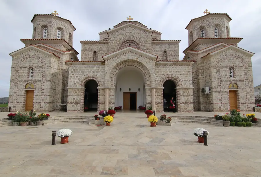
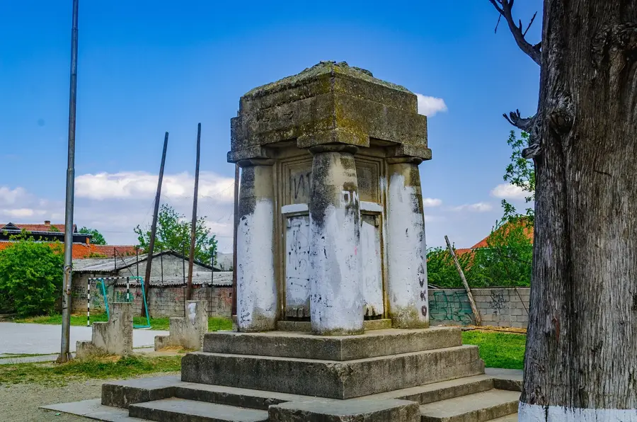
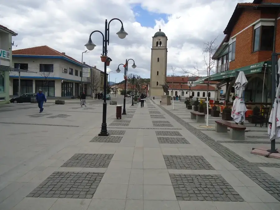
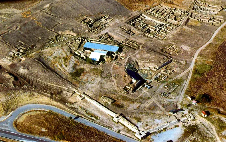
- Top sights: Ali Lobasi · Hafiz Salih Mosque
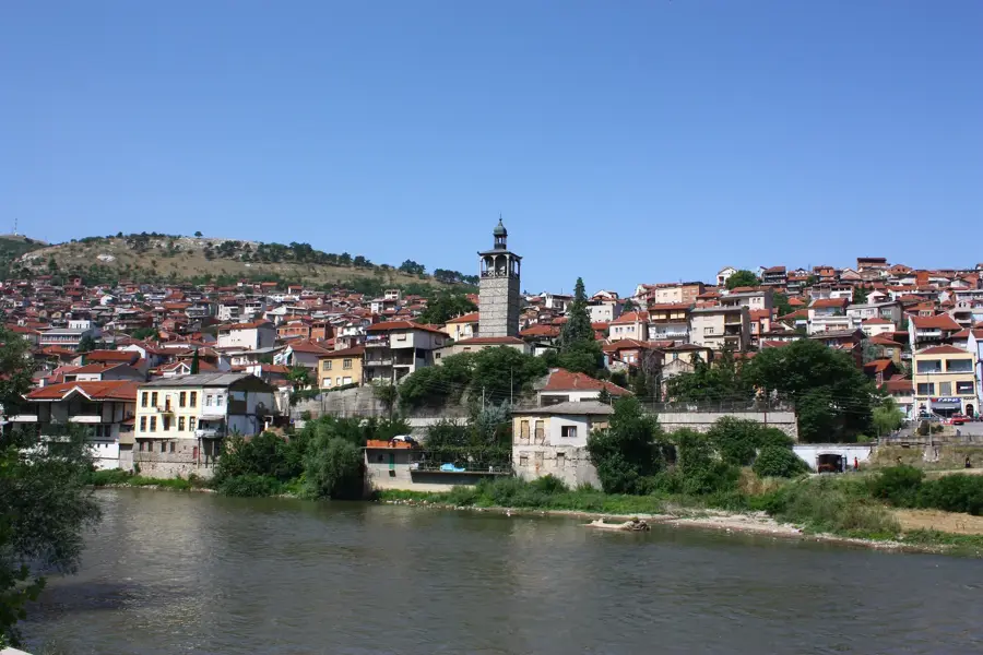
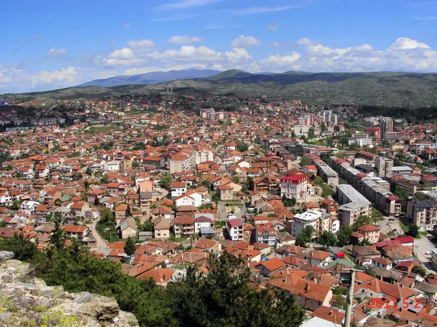
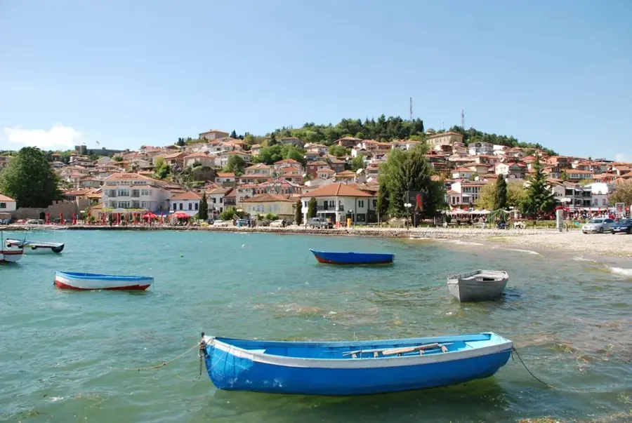
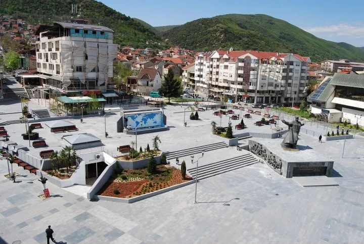
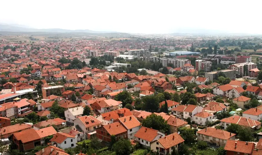
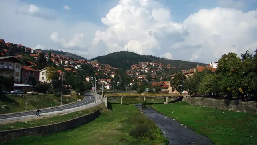
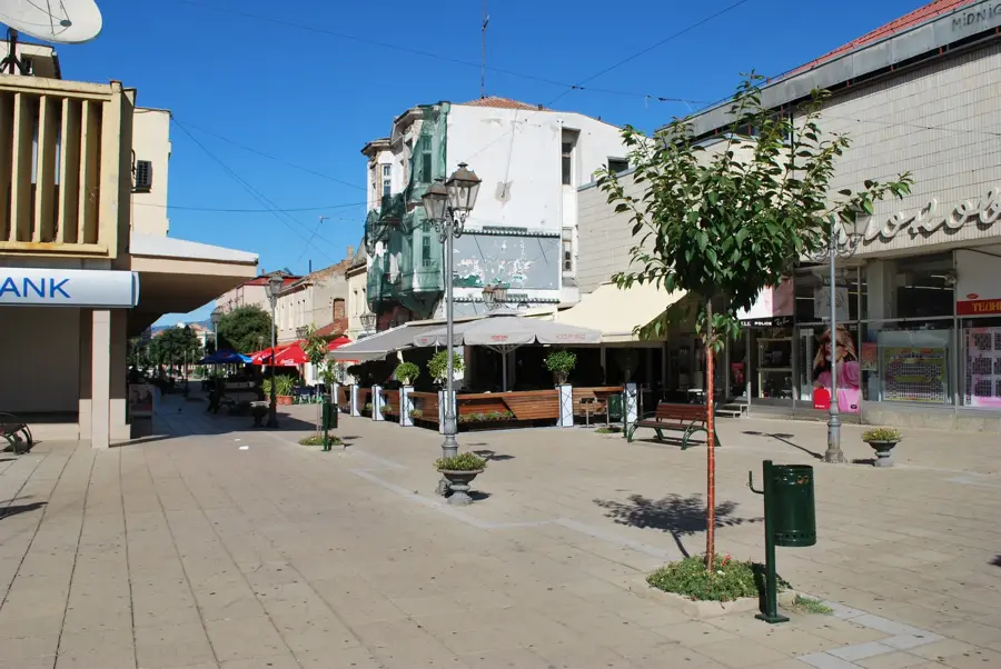
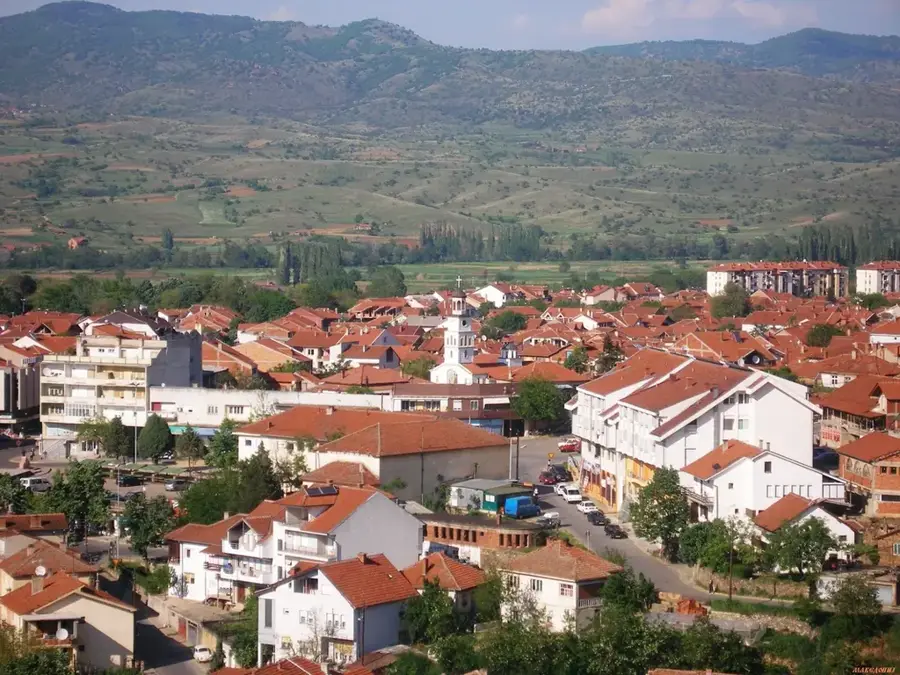
- Nearby: Radovis (7 km)
Best time to visit & climate
The most pleasant time to visit is Jun–Aug.
| Jan | Feb | Mar | Apr | May | Jun | Jul | Aug | Sep | Oct | Nov | Dec | |
|---|---|---|---|---|---|---|---|---|---|---|---|---|
| Avg °C | 0 | 2 | 6 | 10 | 15 | 20 | 24 | 24 | 18 | 12 | 7 | 1 |
| Rain mm | 53 | 46 | 55 | 58 | 67 | 67 | 45 | 47 | 52 | 60 | 53 | 64 |
📋 Practical info
Geography
Facts
- Lisec is the highest peak at 1,754 meters.
- Geologically part of the ancient Rhodope massif.
- Located in the east of the country near Shtip.
- Famous for the Duhova Peshera (Ghost Cave).
- Composed mainly of gneiss, shale, and granite.
- Often cited as one of the cleanest ecological zones.
Explore nearby
Notable places around
Route planner — Car & Motorhome
Where do you start? We build the route here, with stops and country notes along the way.
© OpenStreetMap contributors · OpenRouteService
Sights in the town Plackovica Range (2)
Sights nearby
Frequently asked questions
Where is the Plačkovica range located?
What is the highest peak?
Are there canyons in this range?
What are the archaeological highlights?
Can you explore caves there?
Plackovica Range: where is it located?
Plackovica Range: what is there to see?
Plackovica Range: when is the best time to visit?
Plackovica Range: why is it worth visiting?

Nearby cities