Plizio Visual Lab
Zrnovska Economy
Weather…
Water temperature…
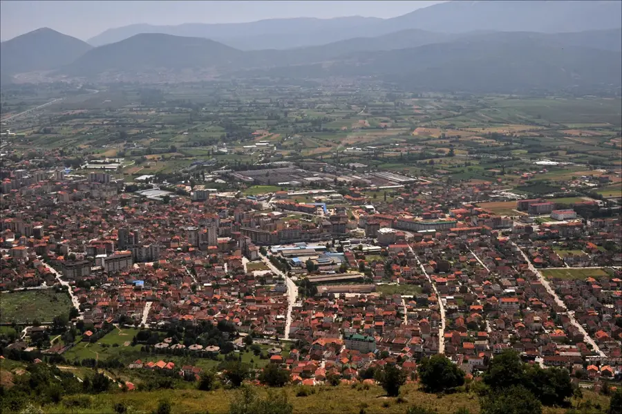
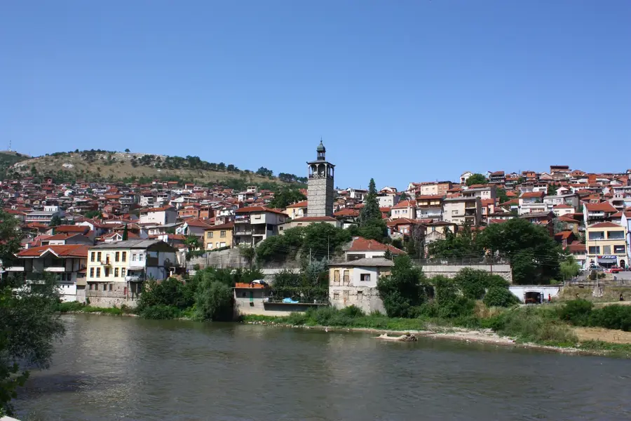
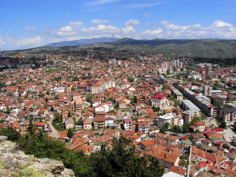
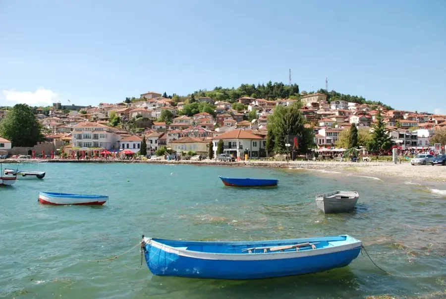
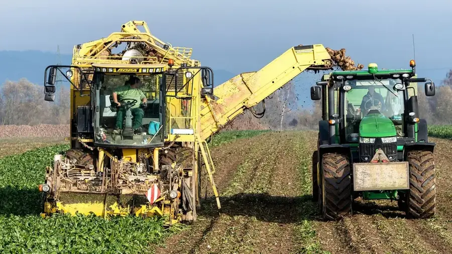
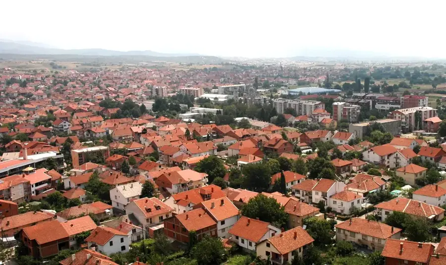
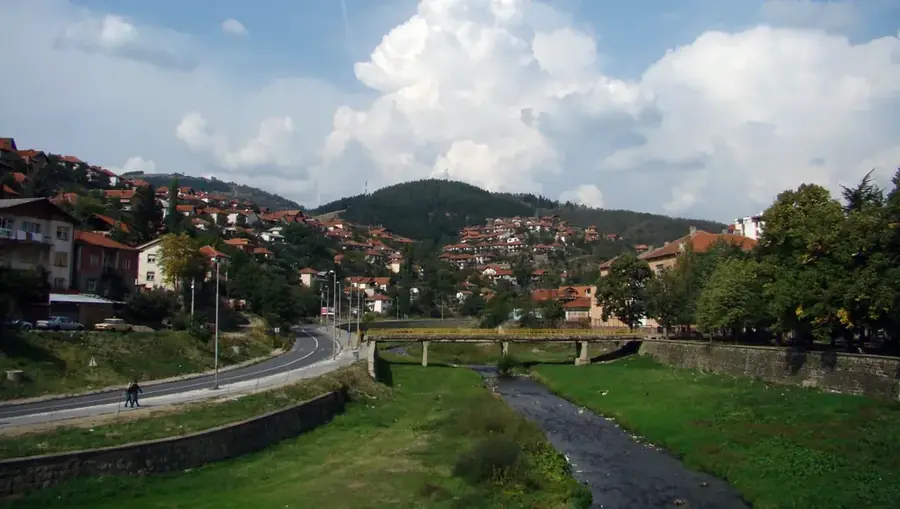
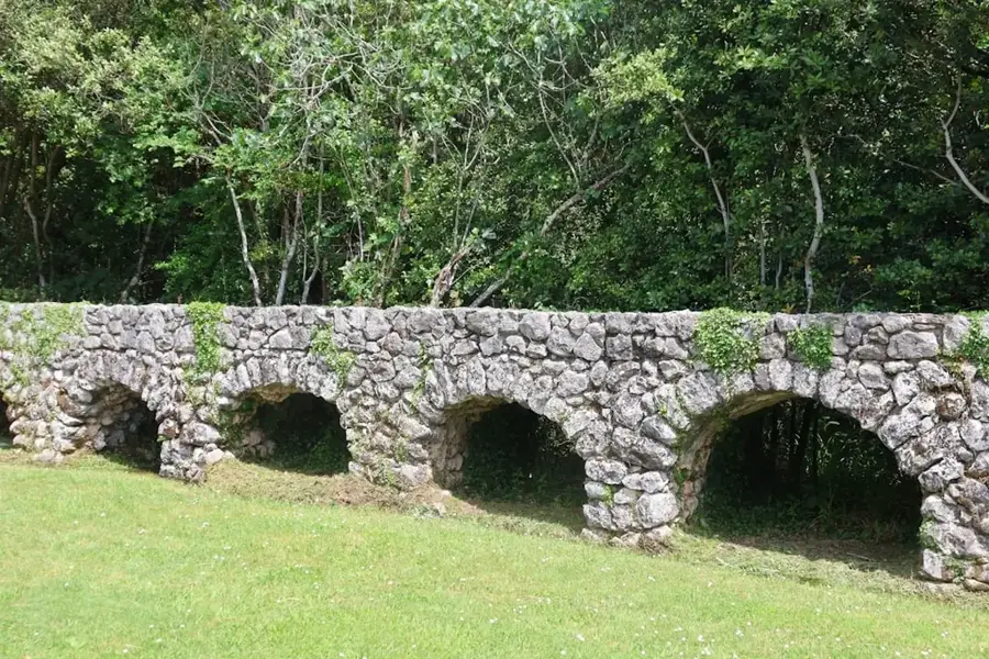
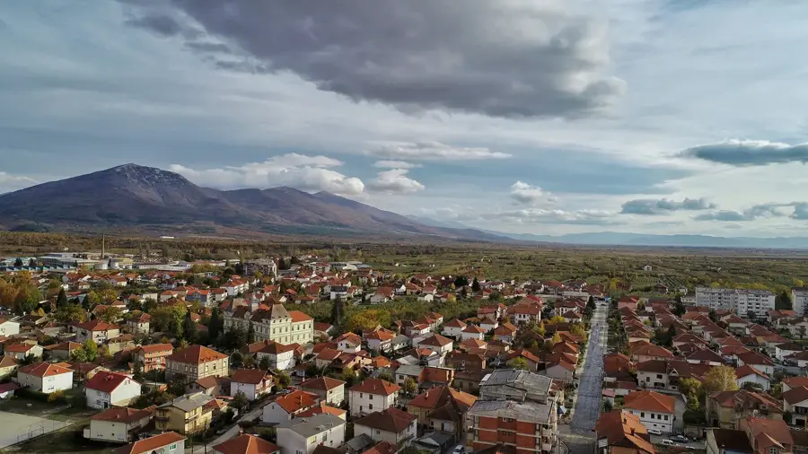
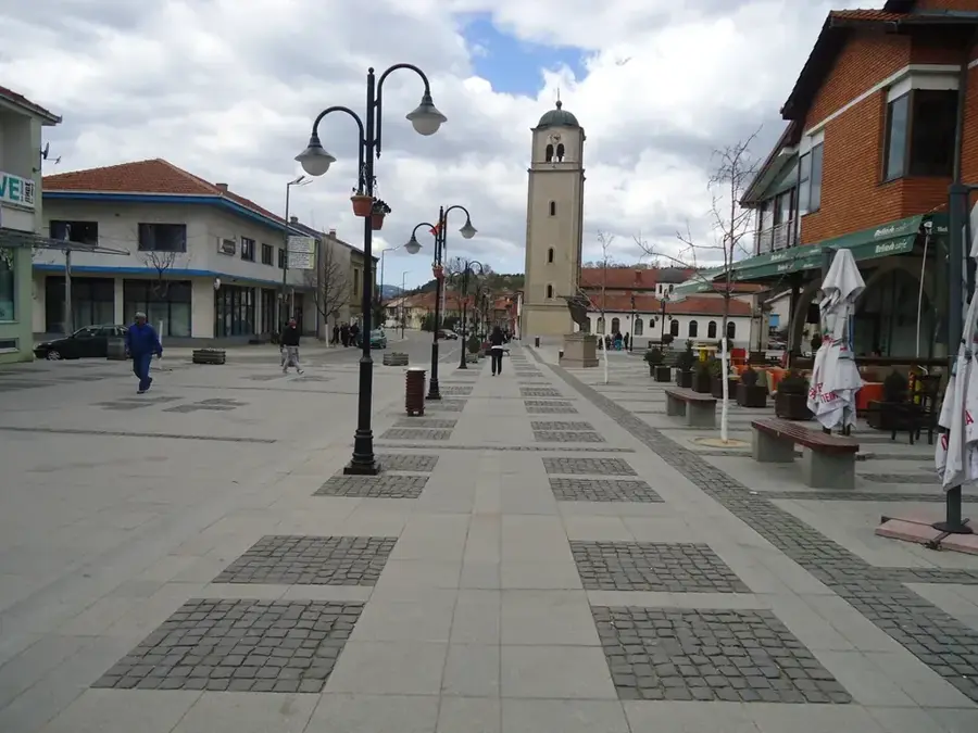
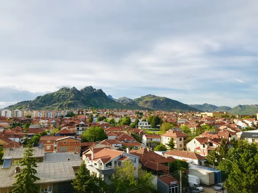
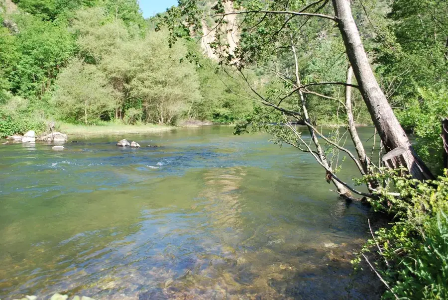
The municipality of Zrnovci, positioned at the base of the Pláčkovica Mountains, grounds its local economy in the natural resources provided by the Zrnovska River. This river is not only a vital source of irrigation for the fertile lands of the Kočani Valley but also plays a central role in sustainable energy production. The small hydropower plant at Zrnovci harnesses the natural descent of the mountain river to generate renewable electricity, contributing to the municipality's energy resilience. Agriculturally, the region is renowned for its rice cultivation and high-quality horticultural products, which are sustained by the river's sophisticated water management system. Recently, eco-tourism has emerged as a complementary economic sector, utilizing the pristine natural beauty of the riverbanks to attract domestic and international visitors. The municipality's economic strategy focuses on the balanced and sustainable exploitation of water resources to support both traditional farming and modern ecological initiatives, thereby securing the livelihoods of its residents while preserving the local biodiversity.
- Location: North Macedonia
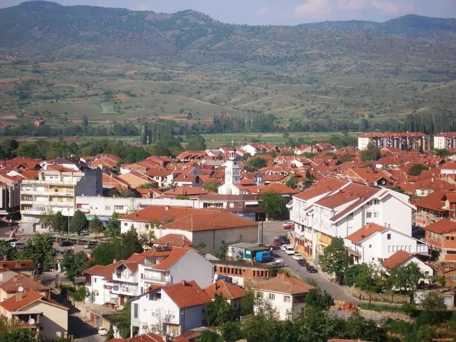
- Top sights: Zrnovci Municipality · Zrnovci · Leski, Vinica
- Nearby: Vinica (5 km)
Best time to visit & climate
The most pleasant time to visit is Jun–Aug.
| Jan | Feb | Mar | Apr | May | Jun | Jul | Aug | Sep | Oct | Nov | Dec | |
|---|---|---|---|---|---|---|---|---|---|---|---|---|
| Avg °C | -2 | 0 | 4 | 9 | 14 | 18 | 22 | 22 | 17 | 11 | 5 | 0 |
| Rain mm | 48 | 41 | 54 | 58 | 69 | 73 | 48 | 47 | 49 | 58 | 49 | 53 |
📋 Practical info
Geography
Facts
- The Zrnovska River originates in the Pláčkovica Mountains at an altitude exceeding 1,200 meters.
- The Zrnovci hydropower plant has been upgraded to enhance local grid stability.
- Zrnovci is one of the few Macedonian municipalities with 100% access to the public water system.
- The area is a key part of the Kočani basin, the center of national rice production.
- The municipality covers a total land area of approximately 55 square kilometers.
- An annual festival held in August promotes local agricultural goods and rural tourism.
Explore nearby
Notable places around
Route planner — Car & Motorhome
Where do you start? We build the route here, with stops and country notes along the way.
© OpenStreetMap contributors · OpenRouteService
Sights in the town Zrnovska Economy (3)
Sights nearby
Frequently asked questions
Is fishing allowed in the Zrnovska river?
Are there hiking trails along the river?
What is the water used for economically?
When is the best time to visit?
Are there restaurants by the river?
Zrnovska Economy: where is it located?
Zrnovska Economy: what is there to see?
Zrnovska Economy: when is the best time to visit?
Zrnovska Economy: why is it worth visiting?

Nearby cities