Plizio Visual Lab
Skopje Aqueduct
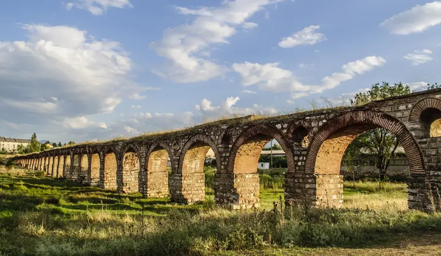
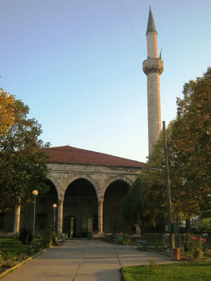
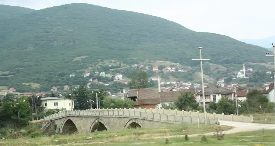
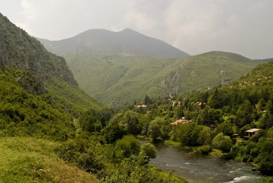
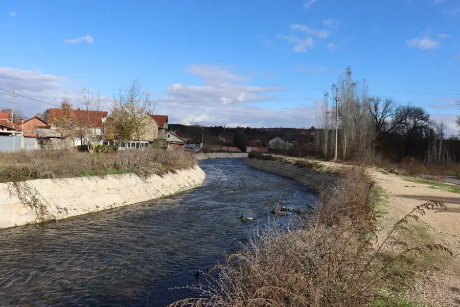
The Skopje Aqueduct is one of the most impressive ancient engineering feats in the Balkans, located about 2 kilometers north of the city center. The exact dating of the structure is disputed among historians; theories range from the Roman era under Emperor Justinian I and the Byzantine period to the Ottoman times in the 16th century. It served to transport fresh spring water from the Lavovec spring in the Skopska Crna Gora mountains to the center of Skopje. Today, 55 magnificent arches made of stone and brick remain, spanning a length of approximately 385 meters. The aqueduct is a testament to the advanced water supply technology of past eras and was in use until the late 19th century. Although damaged over the centuries by natural events, it remains a monumental example of utilitarian art. It is one of the three best-preserved aqueducts in the former Yugoslavia and is a protected cultural monument.
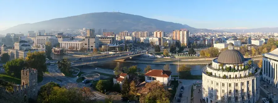
- Location: North Macedonia
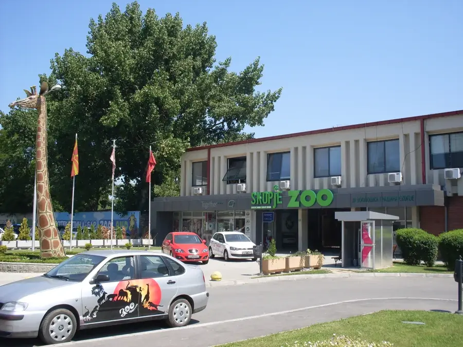
- Nearby: Tetovo Trade Hub (37 km)
Best time to visit & climate
The most pleasant time to visit is Jun–Aug.
| Jan | Feb | Mar | Apr | May | Jun | Jul | Aug | Sep | Oct | Nov | Dec | |
|---|---|---|---|---|---|---|---|---|---|---|---|---|
| Avg °C | -1 | 1 | 5 | 10 | 15 | 19 | 23 | 23 | 18 | 12 | 6 | 0 |
| Rain mm | 77 | 68 | 73 | 66 | 76 | 57 | 37 | 39 | 68 | 88 | 97 | 85 |
📋 Practical info
Geography
Facts
- Consists of 55 preserved stone and brick arches today
- The total length of the remaining section is about 385 meters
- Conveyed water from the Lavovec spring area to the city
- Remained in operational use until the late 19th century
- One of the three best-preserved aqueducts in former Yugoslavia
- Its origin is dated variously between the 6th and 16th centuries
Explore nearby
Notable places around
Route planner — Car & Motorhome
Where do you start? We build the route here, with stops and country notes along the way.
© OpenStreetMap contributors · OpenRouteService
Sights nearby
Frequently asked questions
How old is the Skopje Aqueduct?
How many arches does it have?
Where exactly is the aqueduct located?
Is there an entrance fee?
Can you drive directly there by car?
Skopje Aqueduct: where is it located?
Skopje Aqueduct: when is the best time to visit?
Skopje Aqueduct: why is it worth visiting?

Nearby cities

History & landmarks
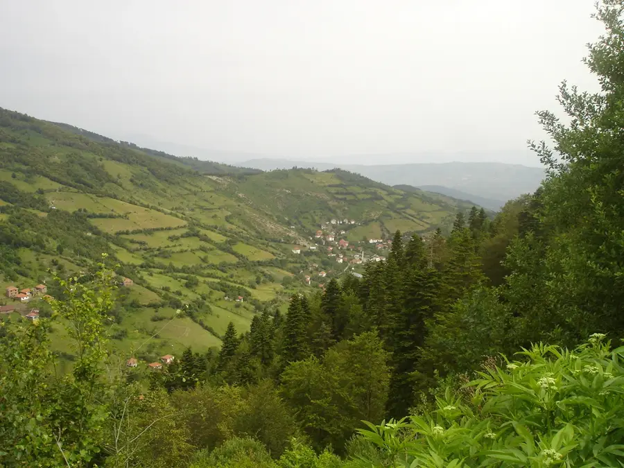
Nature


More places