Plizio Visual Lab
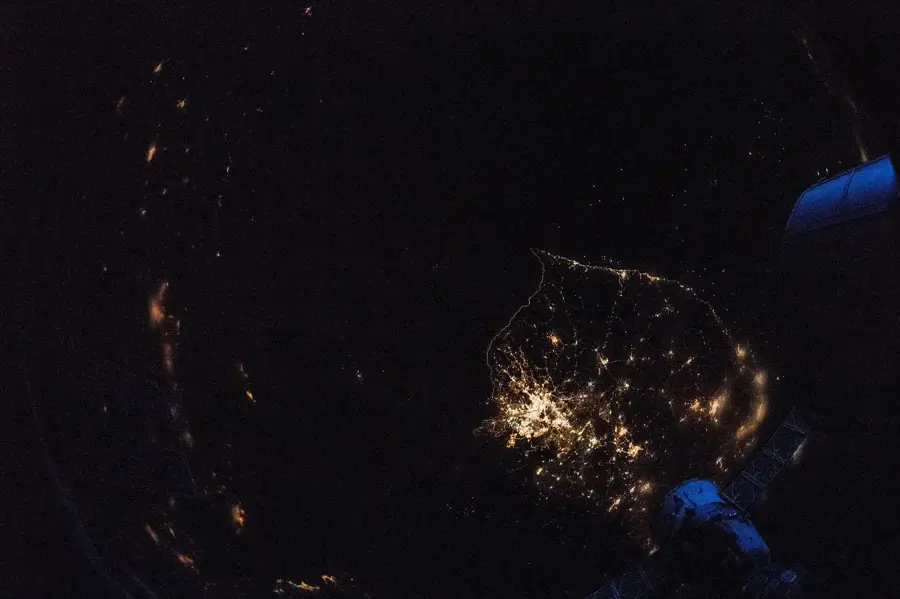
Imjin River
Weather…
Water temperature…
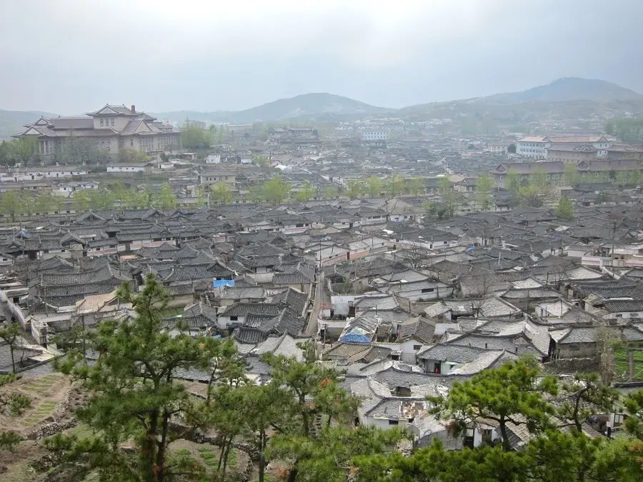
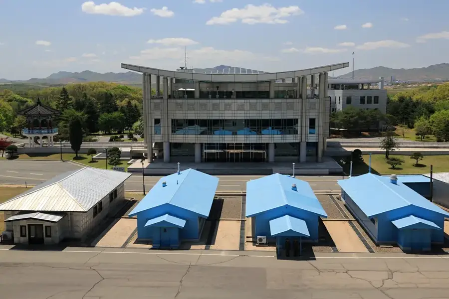
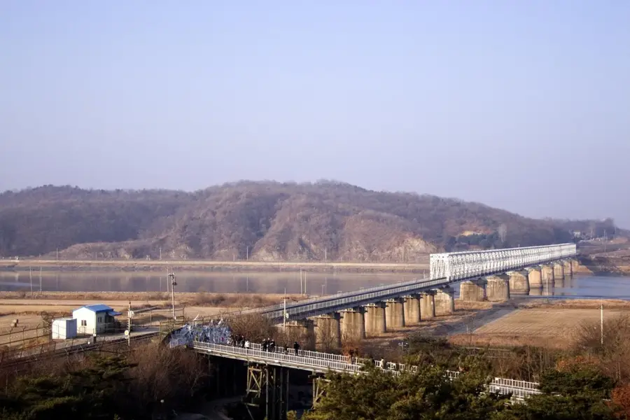
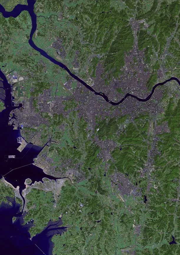
The Imjin River is the seventh-largest river on the Korean Peninsula, stretching approximately 273.5 kilometers from its source in the Masikryong Mountains of North Korea to its confluence with the Han River near the Yellow Sea. Throughout history, the river has served as a vital waterway and a natural boundary, playing a strategic role during the Three Kingdoms period and more recently during the Korean War, notably in the 1951 battles. The river basin covers about 8,138 square kilometers, characterized by steep valleys in its upper reaches and fertile alluvial plains as it flows southward. Geologically, the river cuts through basaltic layers, creating dramatic cliffs and unique rock formations that are characteristic of the region's volcanic past. In the modern era, the Imjin River remains a symbol of the divided peninsula, as it is one of the few rivers that crosses the Military Demarcation Line. The ecosystem of the river is remarkably preserved due to limited human activity in the vicinity of the border, providing a sanctuary for various fish species and migratory birds. Today, the river is crucial for regional agriculture and serves as a poignant reminder of the shared history and current separation of the Korean people.
- Location: North Korea
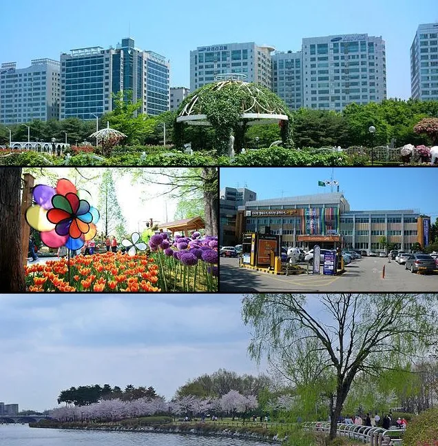
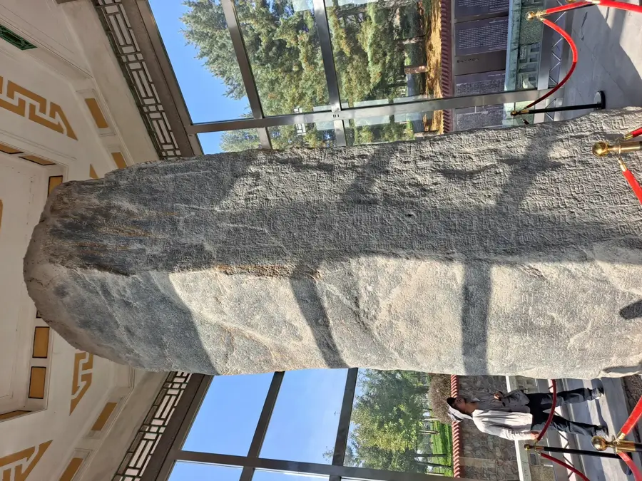
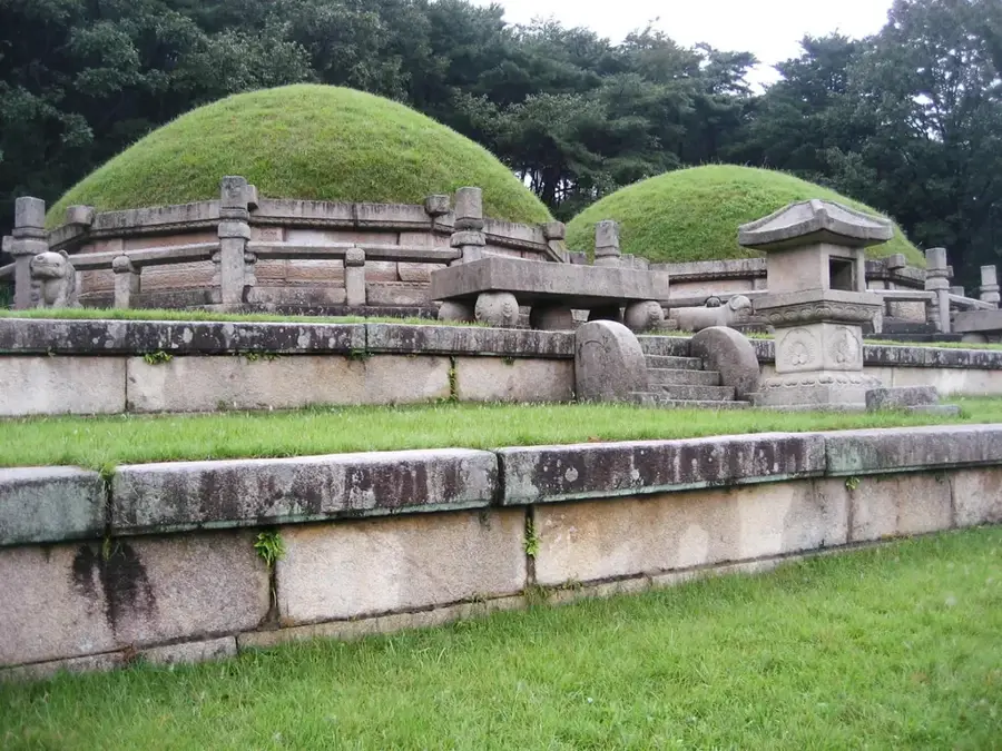
- Top sights: Aegibong Peace Bell · Heiri Art Valley · Jangneung Royal Tomb, Paju
- Nearby: Kaesong (16 km)
Best time to visit & climate
The most pleasant time to visit is May, Jun, Sep.
| Jan | Feb | Mar | Apr | May | Jun | Jul | Aug | Sep | Oct | Nov | Dec | |
|---|---|---|---|---|---|---|---|---|---|---|---|---|
| Avg °C | -5 | -2 | 3 | 10 | 16 | 21 | 24 | 25 | 20 | 13 | 5 | -2 |
| Rain mm | 14 | 24 | 28 | 60 | 88 | 101 | 332 | 258 | 118 | 47 | 45 | 19 |
📋 Practical info
Geography
Facts
- The total length of the river is approximately 273.5 kilometers.
- It originates in the Masikryong Mountains in Kangwon Province.
- The river basin covers an area of 8,138 square kilometers.
- It was the site of the significant Battle of the Imjin River in 1951.
- The river flows across the Military Demarcation Line (MDL).
- It features unique vertical basalt cliffs along its banks.
Explore nearby
Notable places around
Route planner — Car & Motorhome
Where do you start? We build the route here, with stops and country notes along the way.
© OpenStreetMap contributors · OpenRouteService
Sights in the town Imjin River (4)
Sights nearby
Frequently asked questions
Where does the Imjin River flow?
Why is the river strategically important?
Are there dams on the Imjin River?
Can tourists visit the river?
What fish species live in the Imjin?
Imjin River: where is it located?
Imjin River: what is there to see?
Imjin River: when is the best time to visit?
Imjin River: why is it worth visiting?

Nearby cities


History & landmarks
Nature
More places