Plizio Visual Lab
Sohung River Valley
Weather…
Water temperature…
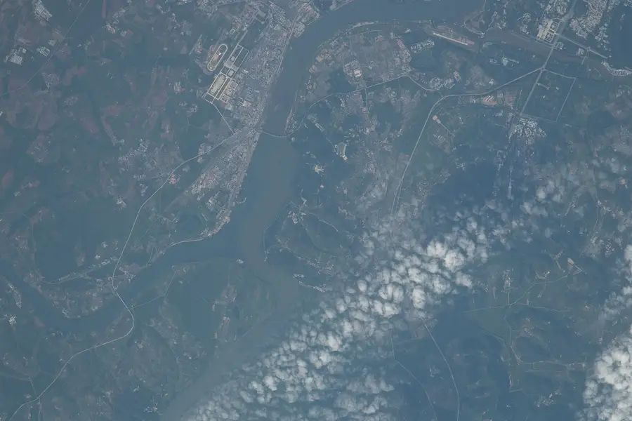
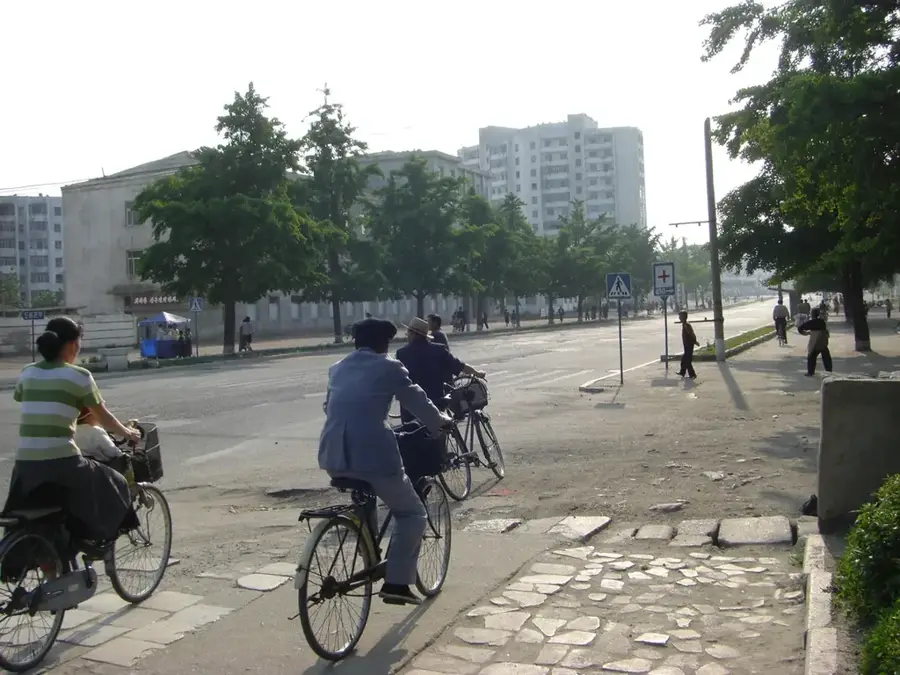
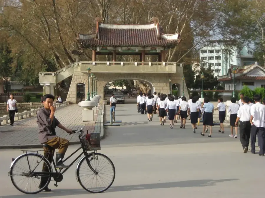
The Sohung River Valley is located in North Hwanghae Province in southwestern North Korea, serving as a primary component of the regional lowlands. The Sohung River originates in the Ahobiryong Mountains and winds for over 100 kilometers through a hilly landscape before joining the Ryesong River. The valley is famous for the artificial Sohung Lake, created in 1945 by damming the river to facilitate irrigation. The region is considered one of the most fertile areas in the country, as its alluvial deposits provide convenient conditions for large-scale rice cultivation and fruit orchards. Geomorphologically, the valley consists of gentle rolling hills formed from Mesozoic sedimentary rocks, providing a sharp contrast to the rugged mountains to the east. Historically, the valley was a vital strategic corridor between Pyongyang and Kaesong and played a significant role in various conflicts throughout Korean history. Today, the valley is intensely cultivated, with the river's water resources being crucial for both agriculture and local industries.
- Location: North Korea
- Nearby: Sariwon (28 km)
Best time to visit & climate
The most pleasant time to visit is May, Jun, Sep.
| Jan | Feb | Mar | Apr | May | Jun | Jul | Aug | Sep | Oct | Nov | Dec | |
|---|---|---|---|---|---|---|---|---|---|---|---|---|
| Avg °C | -7 | -3 | 2 | 9 | 16 | 21 | 24 | 24 | 19 | 11 | 3 | -5 |
| Rain mm | 11 | 19 | 24 | 56 | 82 | 95 | 314 | 260 | 113 | 44 | 44 | 17 |
📋 Practical info
Geography
Facts
- Sohung Lake is one of the largest reservoirs in the southwestern part of the country.
- The total length of the river is approximately 105 kilometers.
- The valley sits at an average elevation of just 50 to 100 meters above sea level.
- The region is renowned for its high-quality apple and pear orchards.
- The Sohung irrigation system serves over 30,000 hectares of farmland.
- Geologically, the valley is part of the extensive Hwanghae sedimentary basin.
Explore nearby
Notable places around
Route planner — Car & Motorhome
Where do you start? We build the route here, with stops and country notes along the way.
© OpenStreetMap contributors · OpenRouteService
Sights nearby
Frequently asked questions
What makes the Sohung River Valley special?
Is the valley accessible to tourists?
What flora can be found there?
Is there a risk of flooding?
What is the main economic activity?
Sohung River Valley: where is it located?
Sohung River Valley: when is the best time to visit?
Sohung River Valley: why is it worth visiting?

Nearby cities
History & landmarks
Nature
More places