Plizio Visual Lab
Diffa
ℹ️Practical info — Diffa
▾
🌤 Weather — 5 days
📍 Nearby
Sights nearby
💡 Tips
- Security in the Lake Chad region can be volatile; always consult with your embassy and local authorities before traveling here.
- Temperatures are intensely hot year-round; wear loose, breathable cotton clothing and stay hydrated.
- Expect numerous checkpoints on the roads leading into Diffa; always keep your passport and travel documents handy.
- Photography of police, military installations, or checkpoints is strictly prohibited and can lead to serious trouble.
🍽 Food
Spicy dried meat similar to jerky, a very popular local snack in the market.
A filling traditional staple dish found in local eateries.
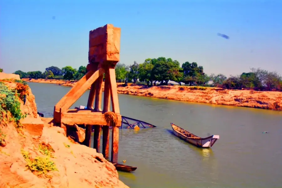
Sourced from the Komadougou Yobe river during the wet season, typically served with onions.
🛍 Shopping · 🧘 Quiet spots
The region is known for its nomadic Tuareg and Fulani leathercraft; look for bags and sandals.
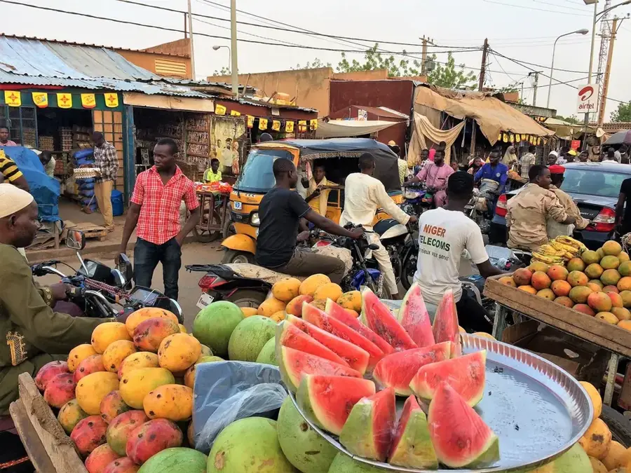
The main market is bustling and gives a variety of spices used in Sahelian cuisine.
Depending on the season and security, the riverbank features a starkly beautiful, quiet natural scene.
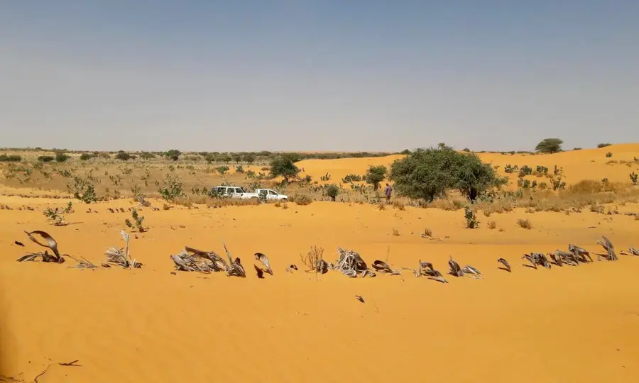
The sandy edges of the town provide a silent view over the expansive Sahel landscape.
Water temperature…
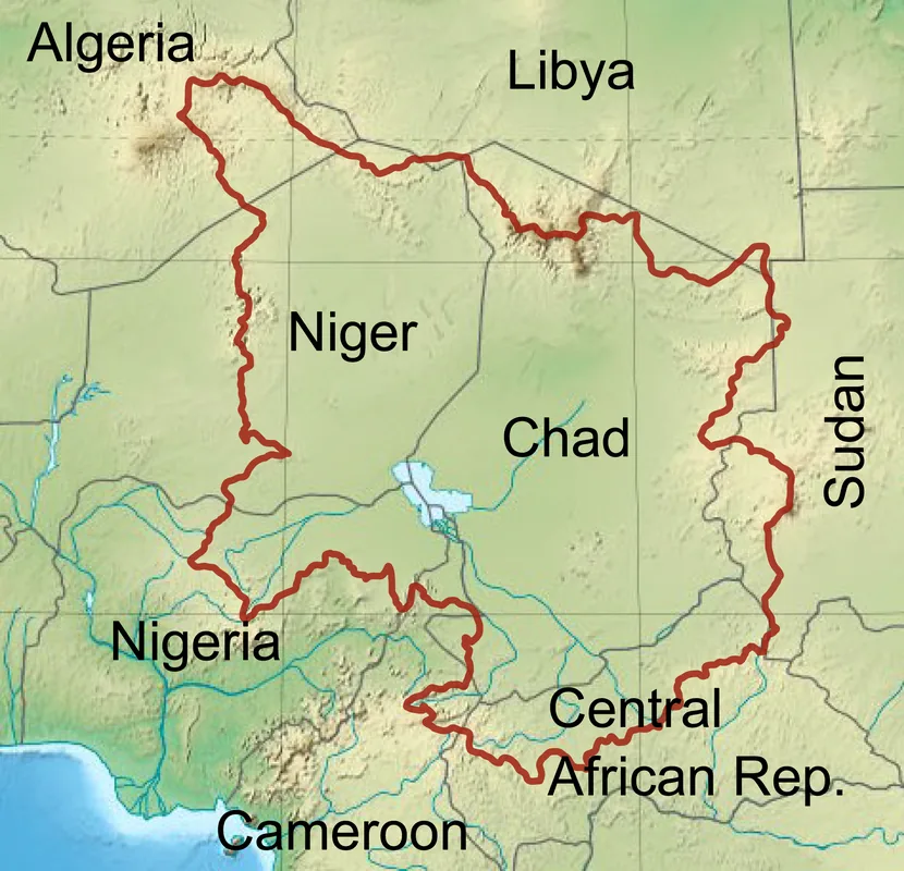
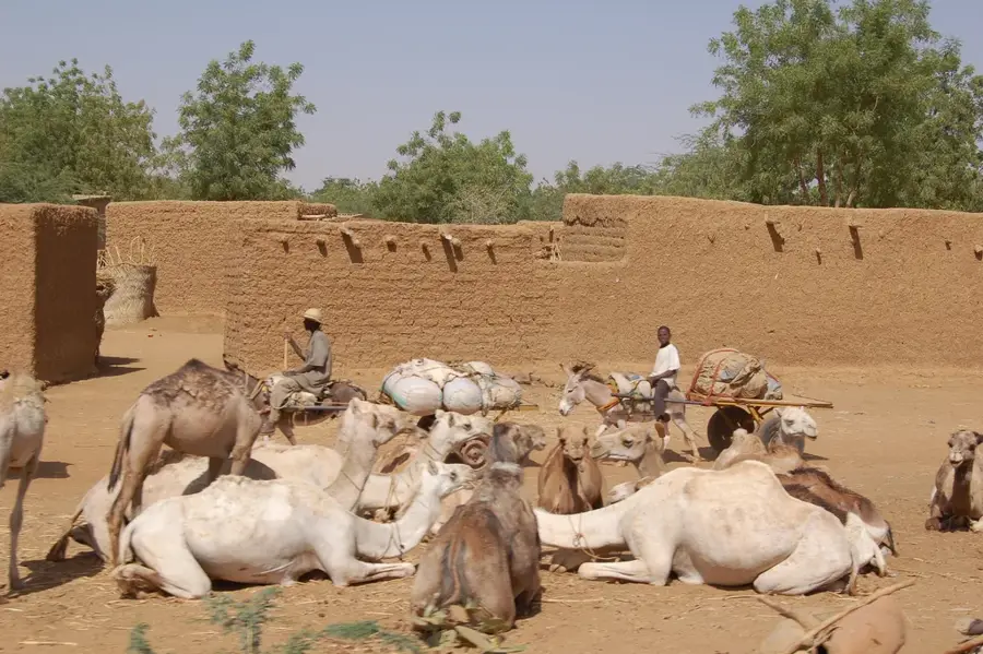
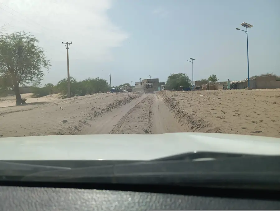
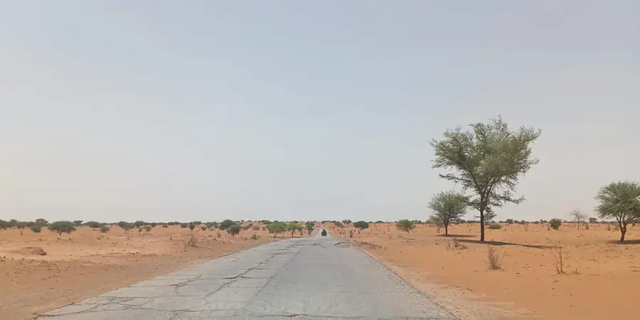
Diffa is the easternmost regional capital of Niger, situated in a strategically sensitive area near the border with Nigeria and the Lake Chad basin. The city serves as the administrative hub for the Diffa Region, characterized by semi-arid landscapes and the fertile seasonal floodplains of the Komadougou Yobé River. Historically, the area surrounding Diffa was an integral part of the Bornu Empire, an influence that persists in the cultural identity of the local Kanuri and Fulani populations. In recent years, Diffa has gained international attention due to humanitarian challenges and security issues linked to the conflict in the Lake Chad region. The local economy is driven by the production of red peppers, rice, and fishing in the Komadougou Yobé. Diffa also functions as a major market for livestock, which is frequently traded across the border into Nigeria. Despite its remote location, the city remains a critical center for governance and resilience in Niger's far east.
- Location: Niger
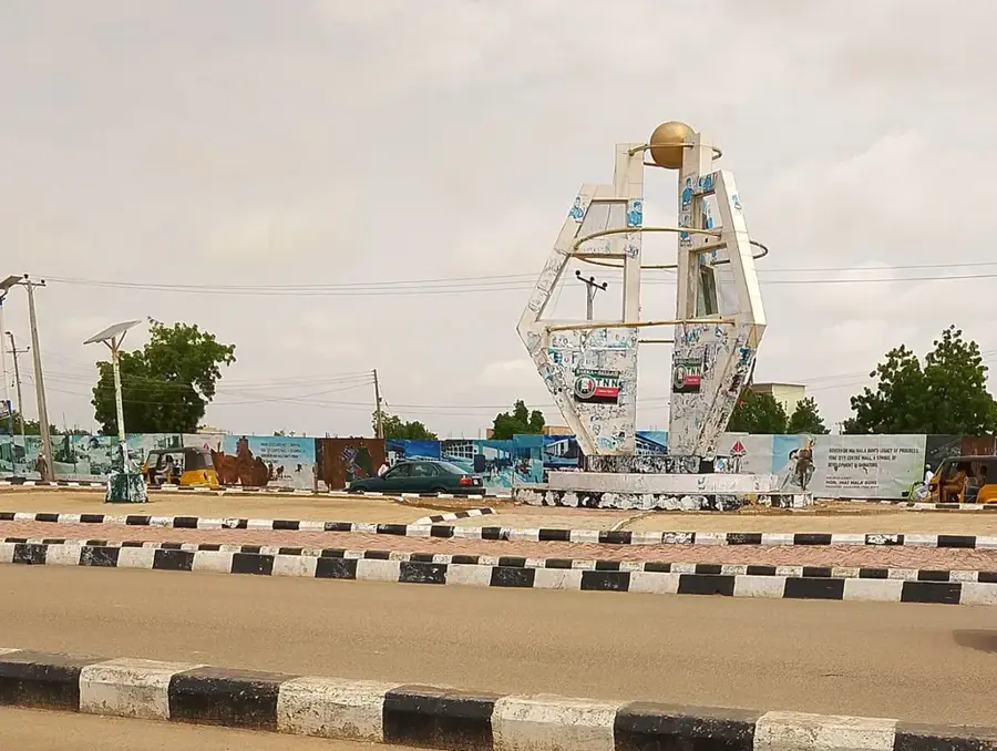
- Top sights: Tribune hippodrome · Chateau d'eau
- Nearby: Maïné-Soroa (72 km)
- Population: ~54.082 (2026)
Best time to visit & climate
The most pleasant time to visit is Jan, Feb, Dec.
| Jan | Feb | Mar | Apr | May | Jun | Jul | Aug | Sep | Oct | Nov | Dec | |
|---|---|---|---|---|---|---|---|---|---|---|---|---|
| Avg °C | 21 | 25 | 29 | 33 | 34 | 34 | 31 | 28 | 29 | 30 | 26 | 22 |
| Rain mm | 0 | 0 | 1 | 1 | 10 | 35 | 97 | 155 | 60 | 10 | 0 | 0 |
Geography
Facts
- Diffa is located on the Komadougou Yobé River, which forms the border with Nigeria.
- The city is situated approximately 1,350 kilometers away from Niamey.
- Diffa is famous for its production of sun-dried red peppers.
- The region was historically a part of the powerful Bornu Empire.
- The University of Diffa was officially established in 2014.
- The city serves as a vital humanitarian hub for the Lake Chad basin.
Explore nearby
Notable places around
Route planner — Car & Motorhome
Where do you start? We build the route here, with stops and country notes along the way.
© OpenStreetMap contributors · OpenRouteService
Sights in the town Diffa (2)
Frequently asked questions
What characterizes Diffa?
Is Diffa a tourist destination?
Are there accommodations there?
Is a visit safe?
What should I consider before traveling?
Diffa: where is it located?
Diffa: what is there to see?
Diffa: when is the best time to visit?
Diffa: why is it worth visiting?

Nearby cities
Nature
More places