Plizio Visual Lab
Yobe

Weather…
Water temperature…
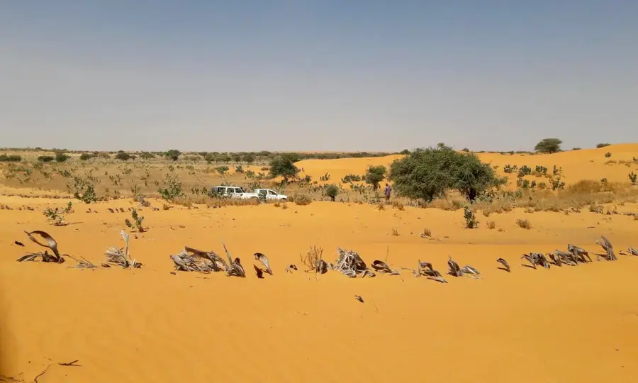
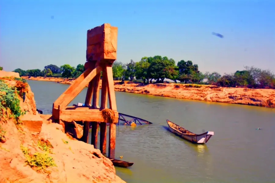
The Yobe River, also known as the Komadougou Yobe, is a critical waterway in northeastern Nigeria that forms a significant portion of the international border with the Republic of Niger. Originating from the confluence of the Hadejia and Jama'are rivers within the Hadejia-Nguru wetlands, it flows approximately 1,200 kilometers eastward before reaching the Chad Basin. The river's hydrology is highly seasonal, with water levels fluctuating dramatically between the rainy season and the prolonged dry spells characteristic of the Sahel region. It serves as a lifeline for millions of people in Kano, Jigawa, and Yobe states, providing essential water for large-scale irrigation projects and local fishing industries. Geographically, the river carves a green corridor through semi-arid landscapes, acting as a vital habitat for migratory birds and diverse flora. Despite its importance, the river faces threats from upstream damming, siltation, and the broader impacts of climate change affecting the Lake Chad ecosystem.
Best time to visit & climate
The most pleasant time to visit is Jan, Feb, Dec.
| Jan | Feb | Mar | Apr | May | Jun | Jul | Aug | Sep | Oct | Nov | Dec | |
|---|---|---|---|---|---|---|---|---|---|---|---|---|
| Avg °C | 22 | 25 | 29 | 33 | 34 | 33 | 30 | 27 | 28 | 28 | 26 | 22 |
| Rain mm | 0 | 0 | 0 | 2 | 14 | 53 | 123 | 197 | 72 | 11 | 0 | 0 |
📋 Practical info
Geography
Facts
- The river spans a total length of approximately 1,200 kilometers.
- It defines the international boundary between Nigeria and Niger Republic.
- The river is formed by the union of the Hadejia and Jama'are rivers.
- It flows into Lake Chad, contributing significantly to its water levels.
- The Hadejia-Nguru wetlands are a RAMSAR site located along its course.
- Seasonal flow variations can cause the river to nearly dry up in peak summer.
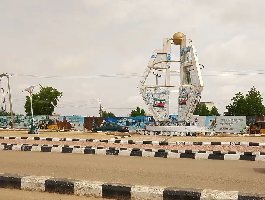
Explore nearby
Notable places around
Route planner — Car & Motorhome
Where do you start? We build the route here, with stops and country notes along the way.
© OpenStreetMap contributors · OpenRouteService
Sights nearby
Frequently asked questions
Where does the Yobe River flow?
Is it visited by tourists?
Is fishing allowed?
How is the climate?
Is it dangerous there?
Yobe: where is it located?
Yobe: when is the best time to visit?
Yobe: why is it worth visiting?