Plizio Visual Lab
N'Guigmi
ℹ️Practical info — N'Guigmi
▾
🌤 Weather — 5 days
📍 Nearby
Sights nearby
💡 Tips
- Protect yourself from dust and wind, especially during the Harmattan season.
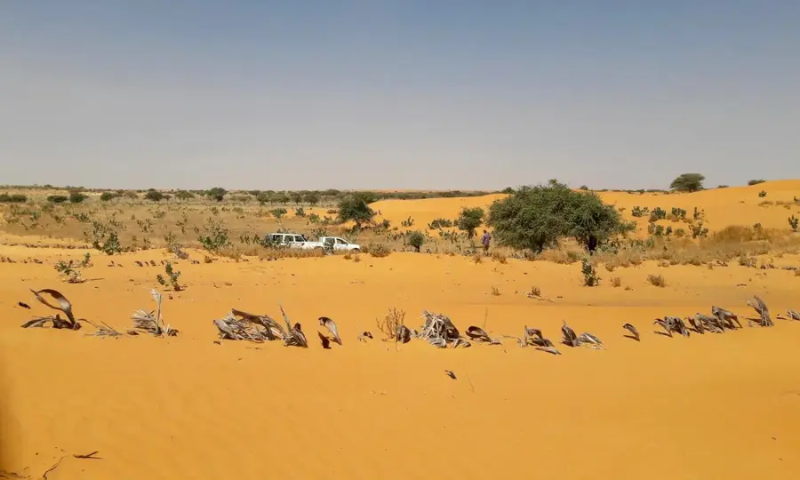
- Visit the viewpoint overlooking the former bed of the receding Lake Chad.
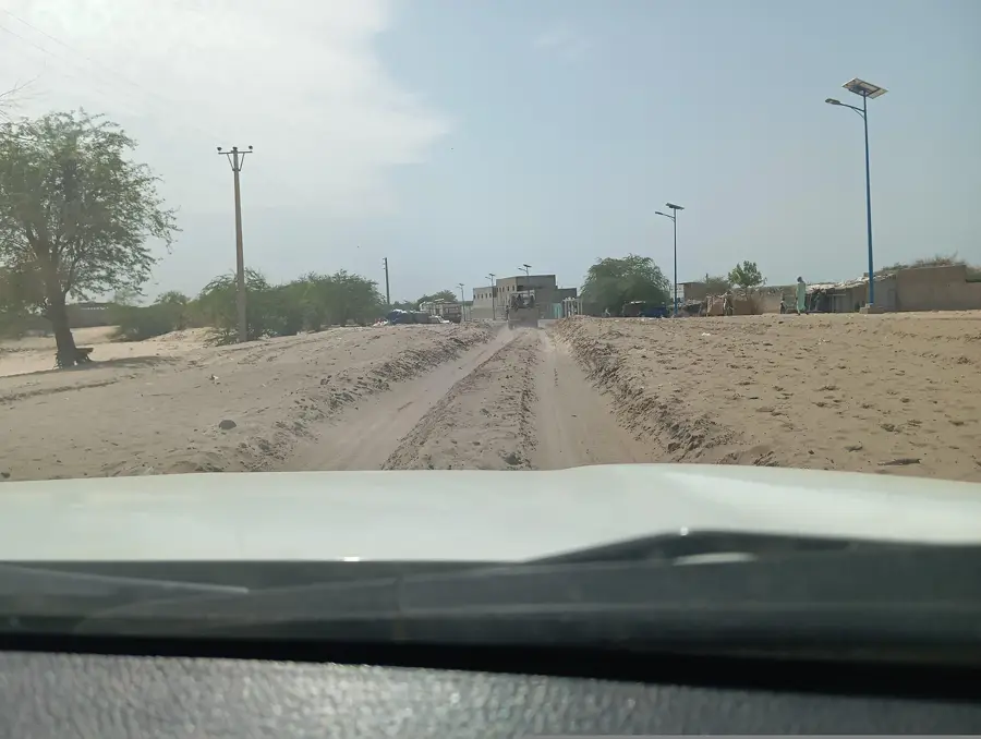
- Stock up on plenty of drinking water as the surroundings are very dry.
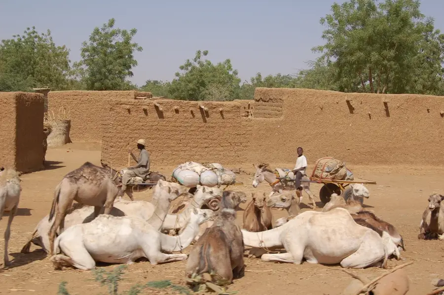
- Watch for camel caravans passing through the town in the early morning hours.
- N'Guigmi is the last major stop before the eastern desert; double-check your supplies.
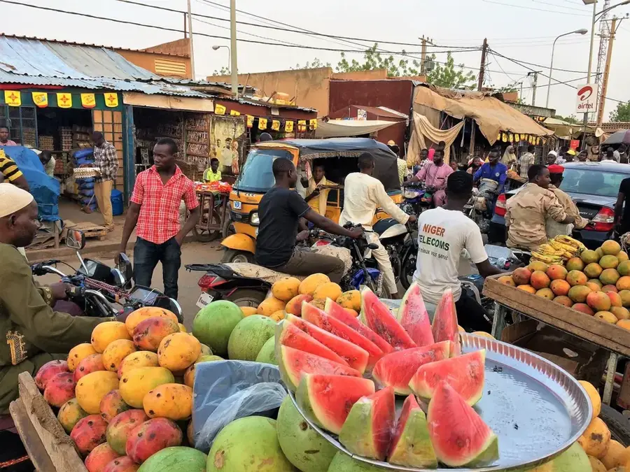
🍽 Food
Fish from the Lake Chad region, traditionally smoked for preservation and intense flavor.
Fresh or dried dates from nearby oases are a staple and a great energy source.
Available fresh from nomads on the outskirts, it is a very nutritious local drink.
🛍 Shopping · 🧘 Quiet spots
Salt traded in large blocks, brought from the remote pans of the Sahara.
Handmade bags and pouches with traditional patterns from the Tubu nomads.
A peaceful spot to appreciate the vastness of the desert and the clear night sky.
The quiet alleys with traditional mud-brick houses offer a glimpse into the past.
Water temperature…
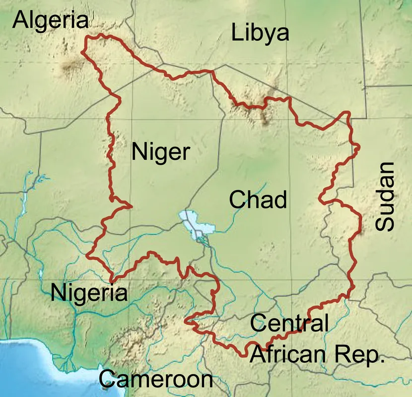
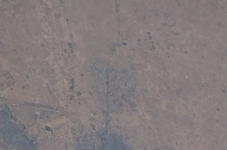
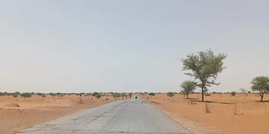
N'Guigmi is located in the far east of Niger in the Diffa Region and is historically known as an important port on the shores of Lake Chad. Due to the dramatic recession of the lake's waters over recent decades, the town is now situated many kilometers away from open water, which has profoundly altered the local economy. Geographically, N'Guigmi marks the eastern terminus of the paved 'Route de l'Unité,' which traverses the country from west to east, and serves as a gateway to the dunes of the Tenere Desert. Formerly a center for fishing and long-distance trade in salt and natron, the town's livelihood is now dominated by livestock rearing and limited oasis farming. The town's history is closely linked to the Kanem-Bornu Empire, reflecting the influences of Kanuri culture. Despite ecological challenges, N'Guigmi remains a vital administrative post on the border with Chad and a strategic point for regional humanitarian aid. The population is estimated at about 25,000 residents living in one of the country's most arid zones.
- Location: Niger
- Population: ~32.035 (2024)
Best time to visit & climate
The most pleasant time to visit is Jan, Feb, Dec.
| Jan | Feb | Mar | Apr | May | Jun | Jul | Aug | Sep | Oct | Nov | Dec | |
|---|---|---|---|---|---|---|---|---|---|---|---|---|
| Avg °C | 21 | 25 | 29 | 33 | 35 | 35 | 32 | 29 | 30 | 30 | 26 | 22 |
| Rain mm | 0 | 0 | 0 | 1 | 6 | 20 | 77 | 117 | 43 | 7 | 0 | 0 |
Geography
Facts
- Terminus of the 'Route de l'Unité' (National Road 1)
- Former major inland port on Lake Chad
- Center of Kanuri culture in eastern Niger
- Gateway to the Tenere Desert and Kaouar Valley
- Significant site for livestock rearing and natron trade
- Population of approximately 24,000 (2012 census)
Explore nearby
Notable places around
Route planner — Car & Motorhome
Where do you start? We build the route here, with stops and country notes along the way.
© OpenStreetMap contributors · OpenRouteService
Frequently asked questions
Where is N'Guigmi located?
Is it safe to visit?
What is the area like?
Is it a tourist spot?
What should one consider?
N'Guigmi: where is it located?
N'Guigmi: when is the best time to visit?
N'Guigmi: why is it worth visiting?

Nearby cities

More places