Plizio Visual Lab
Kohalpur
ℹ️Practical info — Kohalpur
▾
🌤 Weather — 5 days
📍 Nearby
Sights nearby
💡 Tips
- As a major transport hub on the Mahendra Highway, the central bus stand is very busy; keep a close eye on your belongings.
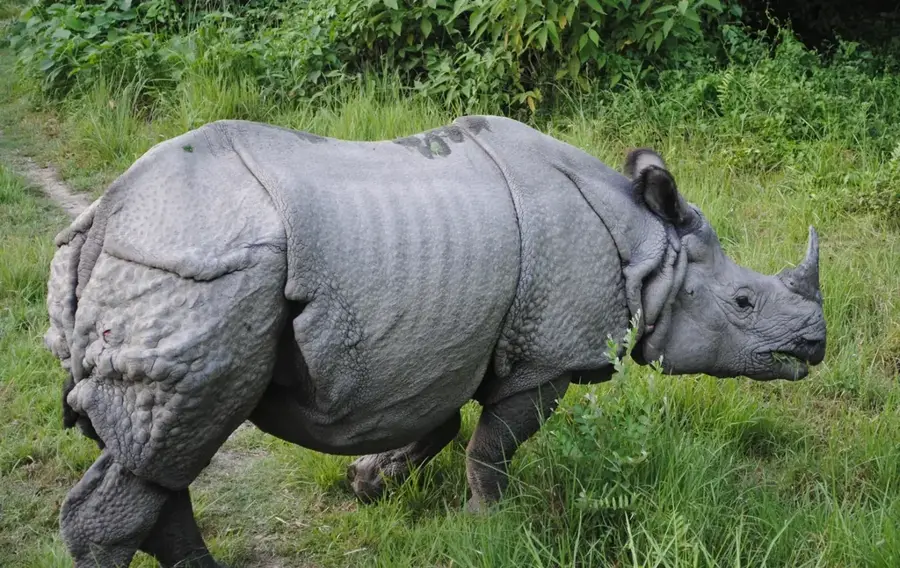
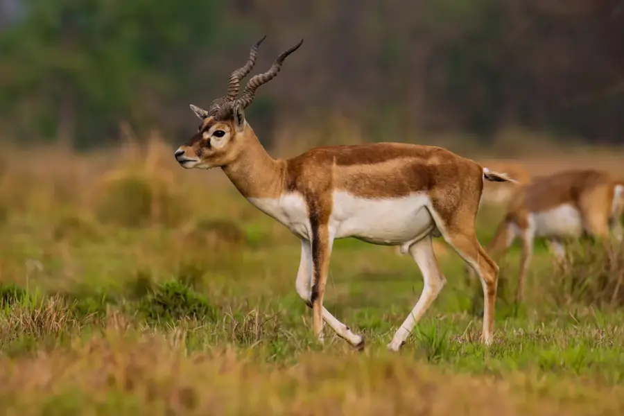
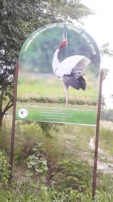
- It is a great stopover point if you are traveling between eastern and western Nepal or heading towards Bardiya National Park.
- The weather can be extremely hot and humid in summer, so early morning or late afternoon travel is advised.
- Cycle rickshaws and auto-rickshaws are the most common way to get around town; always negotiate the fare before getting in.
🍽 Food
The traditional Nepali lentil and rice meal, easily found in local highway eateries.
Steamed or fried dumplings available at street stalls near the main junction.
Try these local sweets at traditional sweet shops near the market area.
🛍 Shopping · 🧘 Quiet spots
Good for daily necessities, clothes, and local snacks.
Look out for fresh seasonal fruits and local farm produce sold along the main roads.
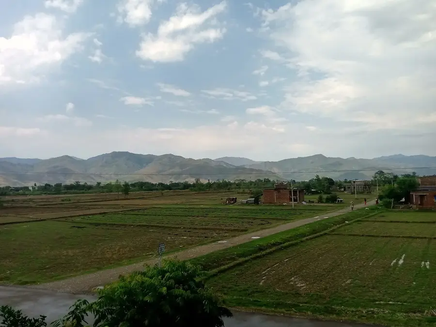
Travel slightly outside the city to enjoy nature and a more tranquil environment.
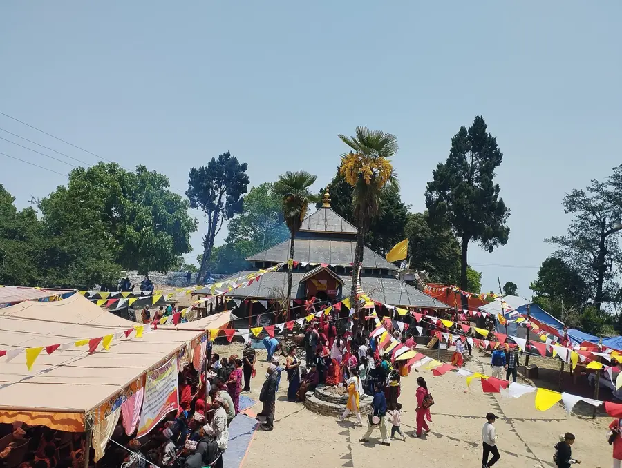
Small neighborhood temples offer a peaceful break from the bustling traffic.
Water temperature…
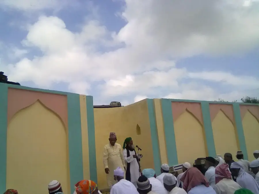
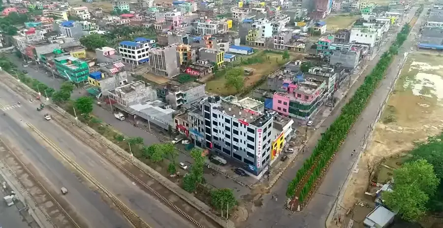
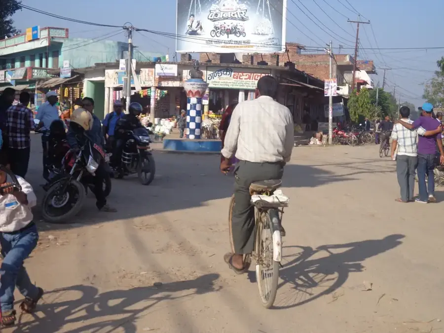
Kohalpur is a rapidly growing city in the Banke District of western Nepal and is considered one of the most important transportation hubs in the country. It is situated at the intersection of the Mahendra Highway (East-West) and the Ratna Highway (North-South), making it a central hub for travelers and freight transport between India, the Terai plains, and the mountain regions. In recent decades, Kohalpur has developed from a small village into a major educational and healthcare center, housing institutions like the Nepalgunj Medical College. The city is characterized by a planned urban structure with wide streets and a steadily increasing number of modern service businesses. The local economy benefits significantly from the logistics industry, trade, and agriculture in the fertile surroundings. Kohalpur also serves as a gateway to Nepal's western national parks, such as Bardia National Park. The climate is subtropical, with high temperatures in summer. The city's cultural diversity is high, attracting people from various regions of Nepal, resulting in a dynamic and cosmopolitan urban life.
- Location: Nepal
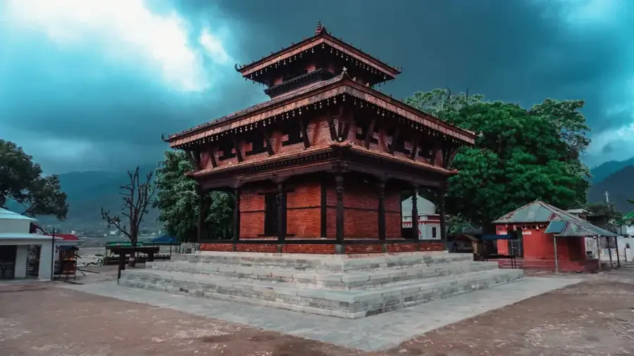
- Top sights: Shri Ramjanaki Mandir · Manakamana Mandir · Shiva Mandir
- Nearby: Bardia (34 km)
Best time to visit & climate
The most pleasant time to visit is Feb, Mar, Nov.
| Jan | Feb | Mar | Apr | May | Jun | Jul | Aug | Sep | Oct | Nov | Dec | |
|---|---|---|---|---|---|---|---|---|---|---|---|---|
| Avg °C | 15 | 19 | 24 | 31 | 34 | 34 | 31 | 29 | 28 | 25 | 20 | 16 |
| Rain mm | 24 | 30 | 21 | 19 | 57 | 182 | 397 | 290 | 164 | 31 | 4 | 9 |
Geography
Facts
- Kohalpur is located approximately 15 kilometers north of the Indian border.
- The city is a major educational hub, hosting the Nepalgunj Medical College.
- The Mahendra Highway connects Kohalpur with the rest of Nepal from east to west.
- Kohalpur was officially elevated to a municipality in 2014.
- The city lies at an elevation of about 165 meters above sea level.
- The nearby Nepalgunj Airport is one of the busiest in the country.
Explore nearby
Notable places around
Route planner — Car & Motorhome
Where do you start? We build the route here, with stops and country notes along the way.
© OpenStreetMap contributors · OpenRouteService
Sights in the town Kohalpur (4)
Frequently asked questions
How long for Kohalpur?
When is the weather best?
How to reach Kohalpur?
Are there accommodations there?
Is it a trade center?
Kohalpur: where is it located?
Kohalpur: what is there to see?
Kohalpur: when is the best time to visit?
Kohalpur: why is it worth visiting?

Nearby cities

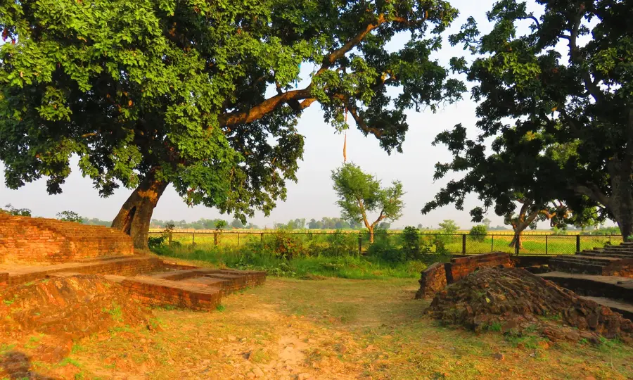
History & landmarks
More places