Plizio Visual Lab
Rajbiraj
ℹ️Practical info — Rajbiraj
▾
🌤 Weather — 5 days
📍 Nearby
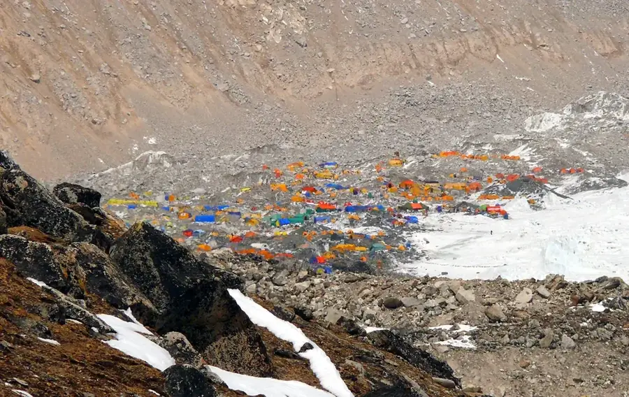
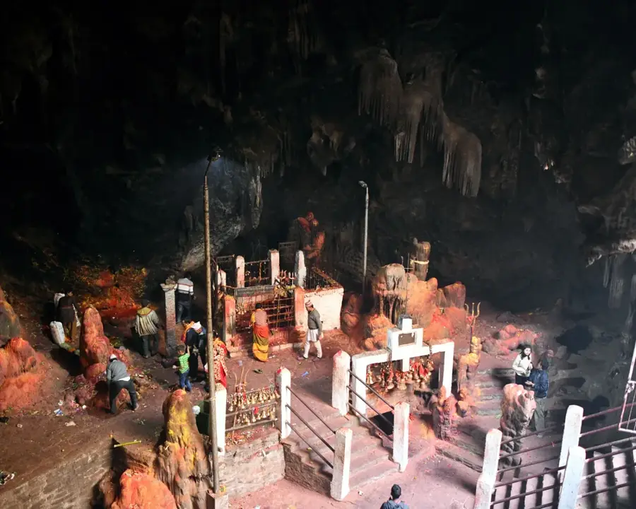
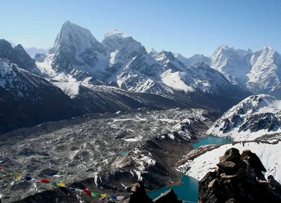
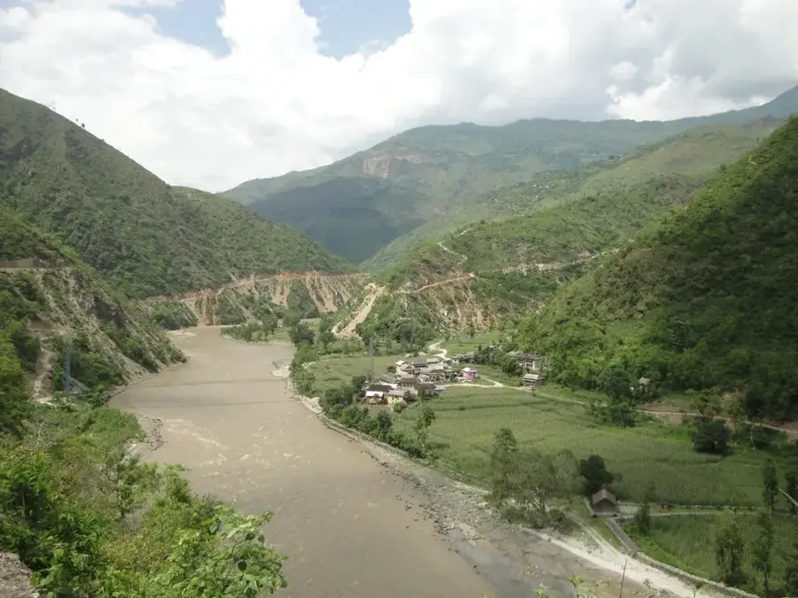
Sights nearby
💡 Tips
- Use cycle rickshaws to navigate the city's grid-patterned streets; it is the most convenient and authentic way to get around.
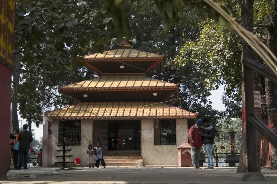
- Visit the Rajdevi Temple in the early morning to experience local spiritual life before the heat of the day sets in.
- The best time to visit is from November to March when the Terai weather is mild and comfortable.
- Check out the local market on Mondays and Thursdays for the most lively displays of regional produce and goods.
- Always carry local currency in small denominations for rickshaws and street vendors.
🍽 Food
Try this platter of rice, lentils, and Terai-style curries at local eateries near the bus park area.
A famous milk-based sweet; the best versions are found in the long-standing sweet shops near the main square.
Steamed rice flour dumplings, typically found at street stalls during regional festivals.
🛍 Shopping · 🧘 Quiet spots
A bustling open-air market for fresh local produce and traditional hand-woven fabrics.
Look for lively Madhubani paintings in small local workshops, a hallmark craft of this border region.
The green spaces surrounding the Rajdevi Temple offer a peaceful retreat in the late afternoon.
The quiet agricultural lanes on the edge of town are first-rate for a calm walk away from the market noise.
Water temperature…
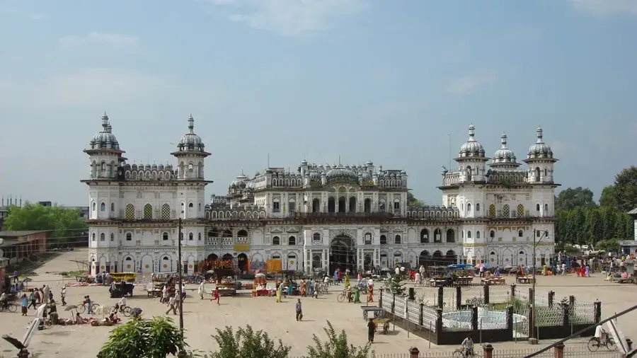
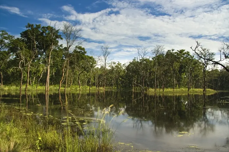
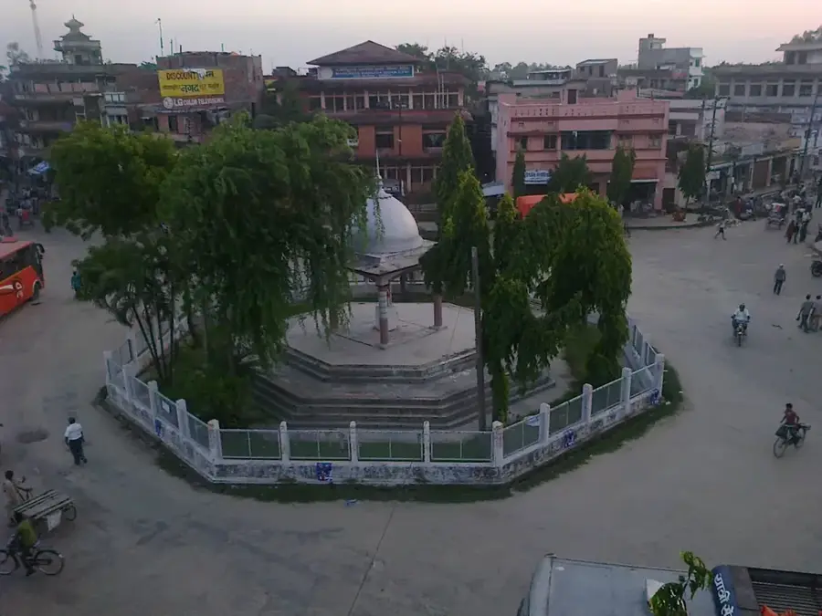
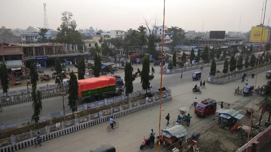
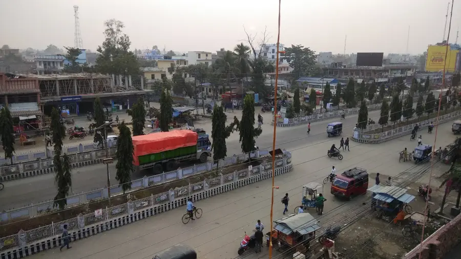
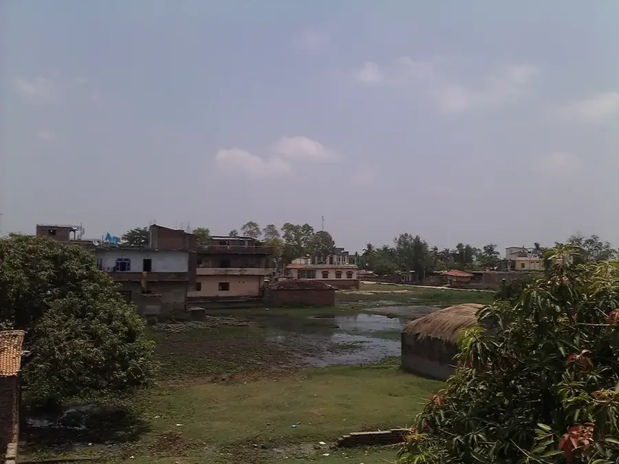
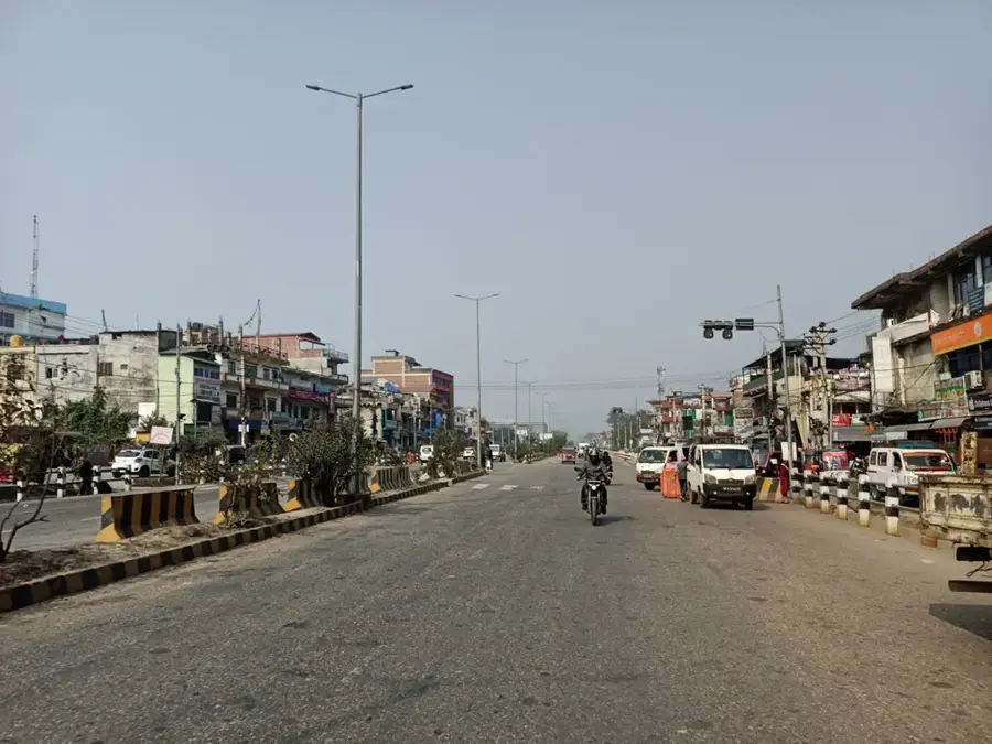
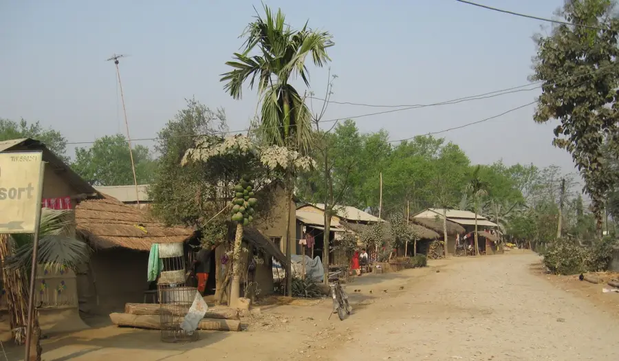
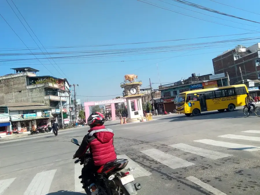
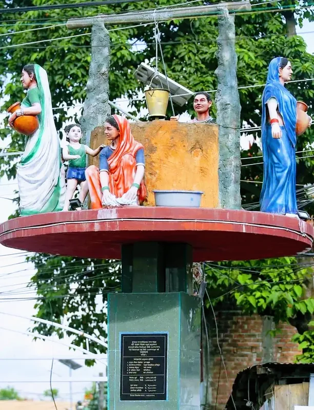
Rajbiraj is the administrative headquarters of Saptari District in Madhesh Province and is renowned as Nepal's first planned city. The urban layout was designed in 1938 by J.B. Taylor, modeled after the Indian city of Jaipur, featuring wide streets and a grid-like pattern. Historically, the area is deeply rooted in the ancient Mithila Kingdom, which is reflected in the spirited local Maithili culture and artistic heritage. The city is home to significant religious landmarks, most notably the Rajdevi Temple, dedicated to the city's presiding deity. As an economic hub, Rajbiraj serves as a primary marketplace for agricultural produce from the fertile Saptari District. The city is serviced by its own airport, providing connections to the capital, Kathmandu, and acts as a gateway to the Koshi Tappu Wildlife Reserve. The climate is typical of the Terai region, characterized by humid, hot summers and mild, dry winters.
- Location: Nepal
- Nearby: Triyuga (5 km)
- Population: ~69.803 (2023)
Best time to visit & climate
The most pleasant time to visit is Feb, Nov, Dec.
| Jan | Feb | Mar | Apr | May | Jun | Jul | Aug | Sep | Oct | Nov | Dec | |
|---|---|---|---|---|---|---|---|---|---|---|---|---|
| Avg °C | 16 | 20 | 25 | 30 | 31 | 31 | 29 | 28 | 27 | 25 | 21 | 17 |
| Rain mm | 7 | 11 | 21 | 42 | 105 | 182 | 311 | 214 | 200 | 54 | 3 | 3 |
Geography
Facts
- Recognized as Nepal's first planned city, established in 1938
- The urban layout was modeled after the city of Jaipur, India
- Administrative headquarters of Saptari District in Madhesh Province
- Home to the historic and revered Rajdevi Temple
- Serviced by Rajbiraj Airport (IATA code: PPL)
- A major hub for education and healthcare in eastern Nepal
Explore nearby
Notable places around
Route planner — Car & Motorhome
Where do you start? We build the route here, with stops and country notes along the way.
© OpenStreetMap contributors · OpenRouteService
Sights in the town Rajbiraj (1)
Frequently asked questions
What is there to do in Rajbiraj?
What is the best season to visit?
How to get to Rajbiraj?
Are there typical festivals in Rajbiraj?
Do I need a visa for Rajbiraj?
Rajbiraj: where is it located?
Rajbiraj: when is the best time to visit?
Rajbiraj: why is it worth visiting?

Nearby cities
History & landmarks
Nature
More places