Plizio Visual Lab
Birtamod
ℹ️Practical info — Birtamod
▾
🌤 Weather — 5 days
📍 Nearby
Sights nearby
💡 Tips
- Traffic on the Mahendra Highway can be chaotic; be very cautious when crossing the main road.
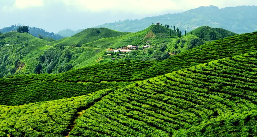
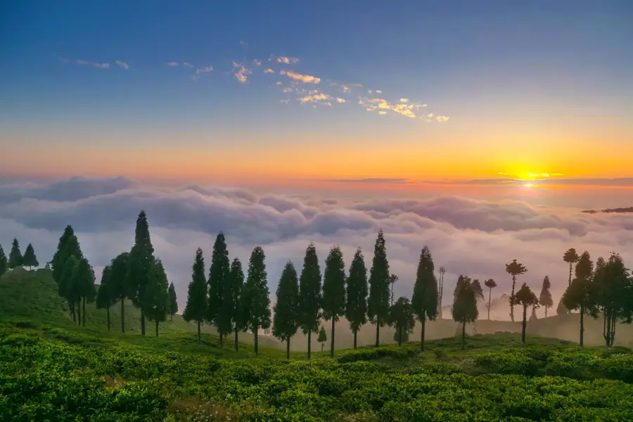
- It serves as an excellent base or transit point if you are planning to visit the tea gardens of Ilam in the hills.
- Use the ubiquitous auto-rickshaws for quick and cheap transportation around the bustling commercial center.
- Be prepared for heavy monsoon rains in the summer by always carrying reliable rain gear.
🍽 Food
Delicious dumplings and noodle soups widely available at small roadside eateries.
The traditional and highly filling Nepali set meal served in most local diners.
A well-suited quick snack paired with sweet milk tea from local street carts.
🛍 Shopping · 🧘 Quiet spots
Buy packaged tea sourced directly from nearby eastern hill estates at the main market.
Find fresh and highly affordable ingredients in the bustling town bazaar.
Just a short drive outside the city limits, offering lush green and peaceful views.
Small, serene Hindu temples located safely away from the main highway noise.
Water temperature…
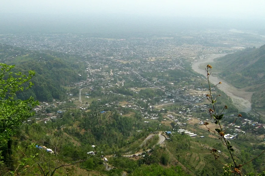
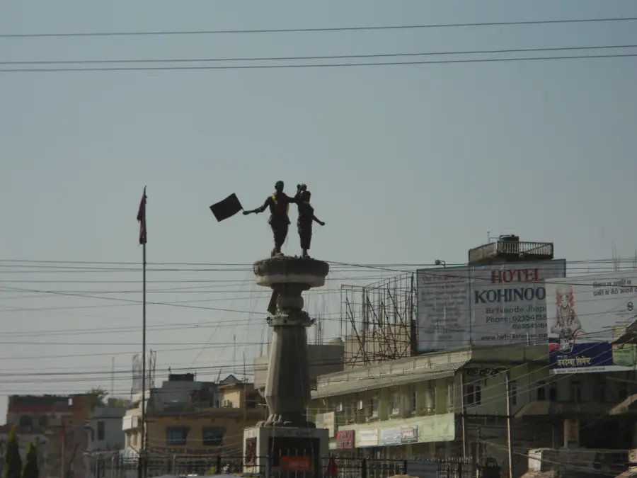
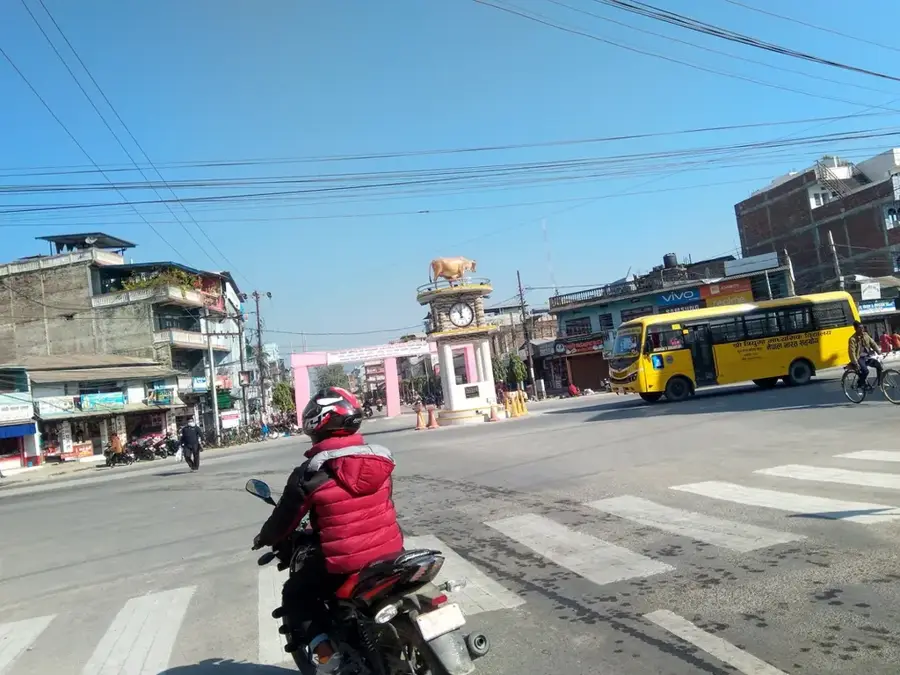
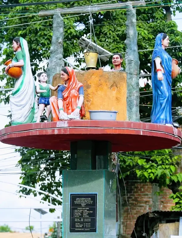
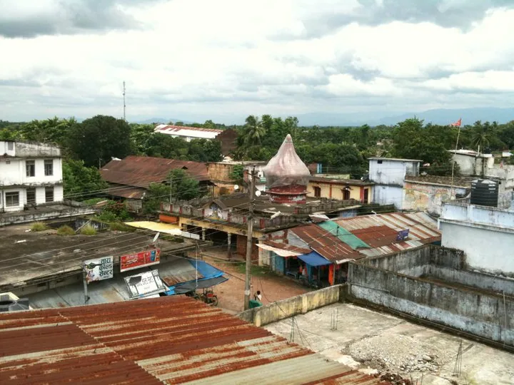
Birtamod is one of the fastest-growing municipalities in Jhapa District, Koshi Province, in eastern Nepal. Originally a small market, it has evolved into an animated commercial and financial hub for the entire region. The city is strategically located on the Mahendra Highway, Nepal's main east-west transportation artery. Birtamod is a melting pot of various ethnic groups and cultures. The economy is heavily driven by trade, especially in agricultural products like tea, rice, and areca nuts from the surrounding fertile plains. Furthermore, the city is a major center for healthcare and education in the region, with several hospitals and colleges. The proximity to the tea gardens of Ilam and the Indian border at Kakarbhitta adds to its bustling atmosphere.
- Location: Nepal
- Top sights: Heaven Water Park · Mukti Chowk · Pal creations
- Nearby: Bhadrapur (12 km)
Best time to visit & climate
The most pleasant time to visit is Feb, Nov, Dec.
| Jan | Feb | Mar | Apr | May | Jun | Jul | Aug | Sep | Oct | Nov | Dec | |
|---|---|---|---|---|---|---|---|---|---|---|---|---|
| Avg °C | 16 | 20 | 25 | 28 | 29 | 29 | 28 | 27 | 26 | 24 | 21 | 17 |
| Rain mm | 6 | 12 | 29 | 70 | 163 | 278 | 474 | 353 | 291 | 92 | 5 | 3 |
Geography
Facts
- Major commercial hub
- Located in Jhapa District
- On the Mahendra Highway
- Population over 116,000
Explore nearby
Notable places around
Route planner — Car & Motorhome
Where do you start? We build the route here, with stops and country notes along the way.
© OpenStreetMap contributors · OpenRouteService
Sights in the town Birtamod (3)
Frequently asked questions
How long for Birtamod?
When is the weather best?
How to reach Birtamod?
Are there good shopping opportunities there?
Is the place recommended for families?
Birtamod: where is it located?
Birtamod: what is there to see?
Birtamod: when is the best time to visit?
Birtamod: why is it worth visiting?

Nearby cities
History & landmarks
Nature
More places