Plizio Visual Lab
Tibetan Plateau
Weather…
Water temperature…
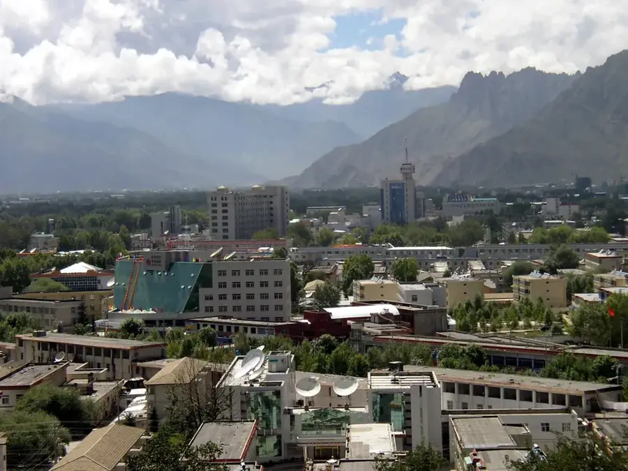
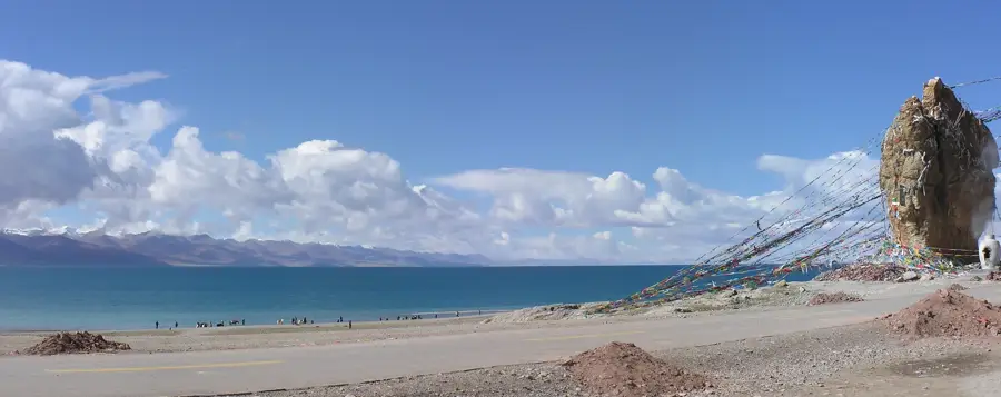
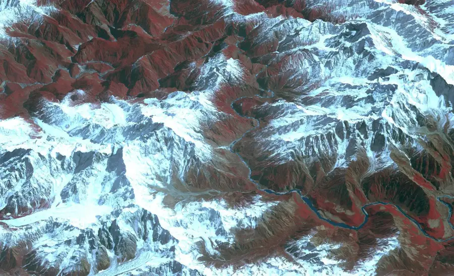
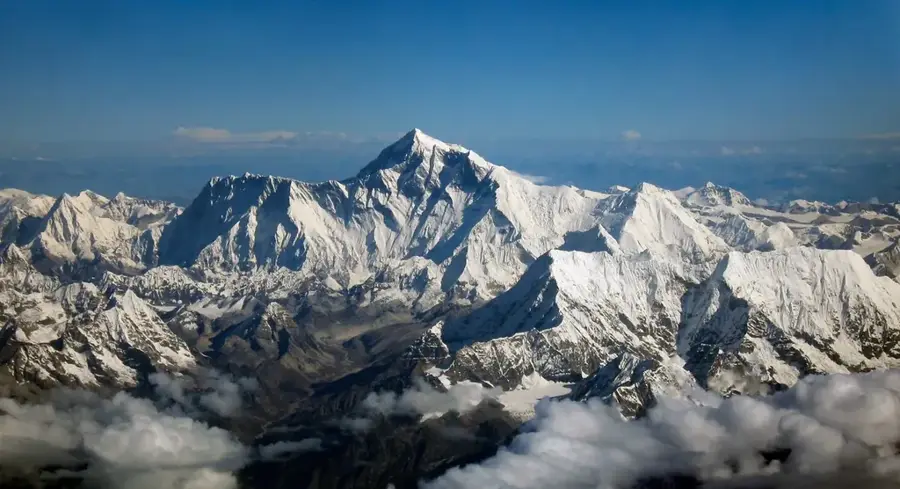
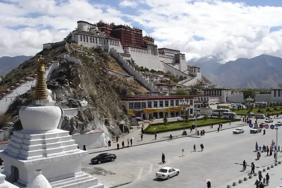
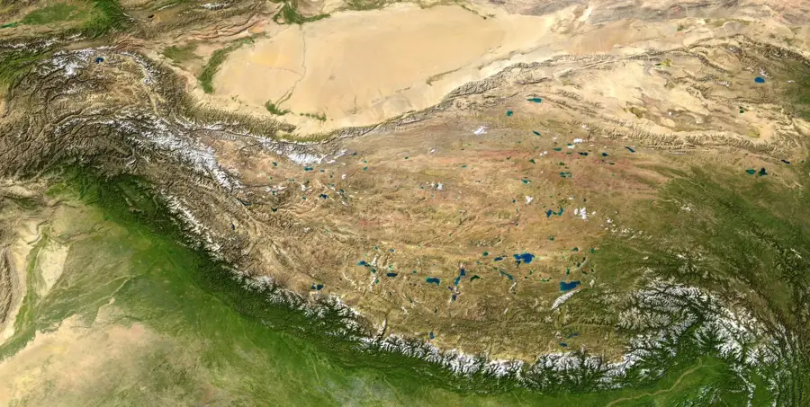
The Tibetan Plateau, often called the "Roof of the World," is the highest and largest plateau on Earth. Spanning approximately 2.5 million square kilometers, it sits at an average elevation of over 4,500 meters. It is bounded by the Himalayas to the south and the Kunlun Mountains to the north. The plateau is vital to the global hydrological cycle, as it serves as the headwaters for Asia's major rivers, including the Yangtze, Yellow, Mekong, Indus, and Ganges. Due to its massive glacial reserves, it is frequently referred to as Earth's "Third Pole." The climate is characterized by extreme aridity and frost, restricting vegetation to vast alpine steppes and montane deserts. Culturally, the plateau has been home to the Tibetan people for millennia, whose way of life is deeply intertwined with Buddhism and nomadic pastoralism. Today, the region is integrated with the rest of China via the Qinghai-Tibet Railway, the highest railway line in the world, reaching altitudes of over 5,000 meters.
Best time to visit & climate
The most pleasant time to visit is Jun–Aug.
| Jan | Feb | Mar | Apr | May | Jun | Jul | Aug | Sep | Oct | Nov | Dec | |
|---|---|---|---|---|---|---|---|---|---|---|---|---|
| Avg °C | -19 | -16 | -11 | -5 | -1 | 4 | 7 | 6 | 2 | -6 | -13 | -17 |
| Rain mm | 2 | 1 | 3 | 7 | 26 | 56 | 89 | 83 | 42 | 8 | 2 | 2 |
📋 Practical info
Geography
Facts
- Largest high plateau in the world at 2.5 million km²
- Average elevation exceeds 4,500 meters above sea level
- Source of rivers that supply water to over 2 billion people
- Known as the 'Third Pole' due to its vast ice reserves
- Formed about 50 million years ago by the India-Asia collision
- Home to the world's highest railway network
Explore nearby
Notable places around
Route planner — Car & Motorhome
Where do you start? We build the route here, with stops and country notes along the way.
© OpenStreetMap contributors · OpenRouteService
Sights nearby
Frequently asked questions
Why is it called the 'Roof of the World'?
Which major rivers originate here?
How to avoid altitude sickness?
What is the best time to visit?
Are there trains there?
Tibetan Plateau: where is it located?
Tibetan Plateau: when is the best time to visit?
Tibetan Plateau: why is it worth visiting?