Plizio Visual Lab
Erongo Mountains
Weather…
Water temperature…
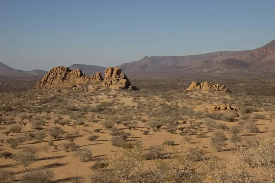
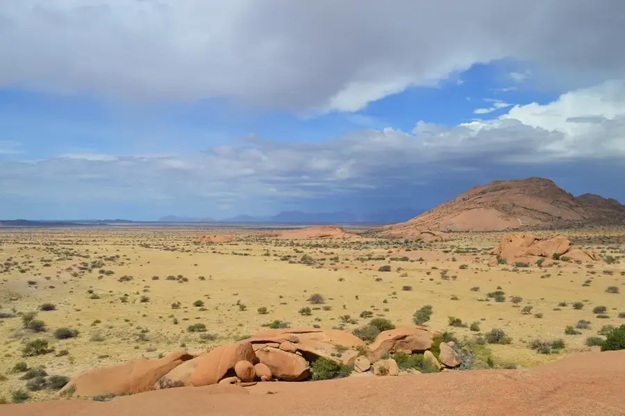
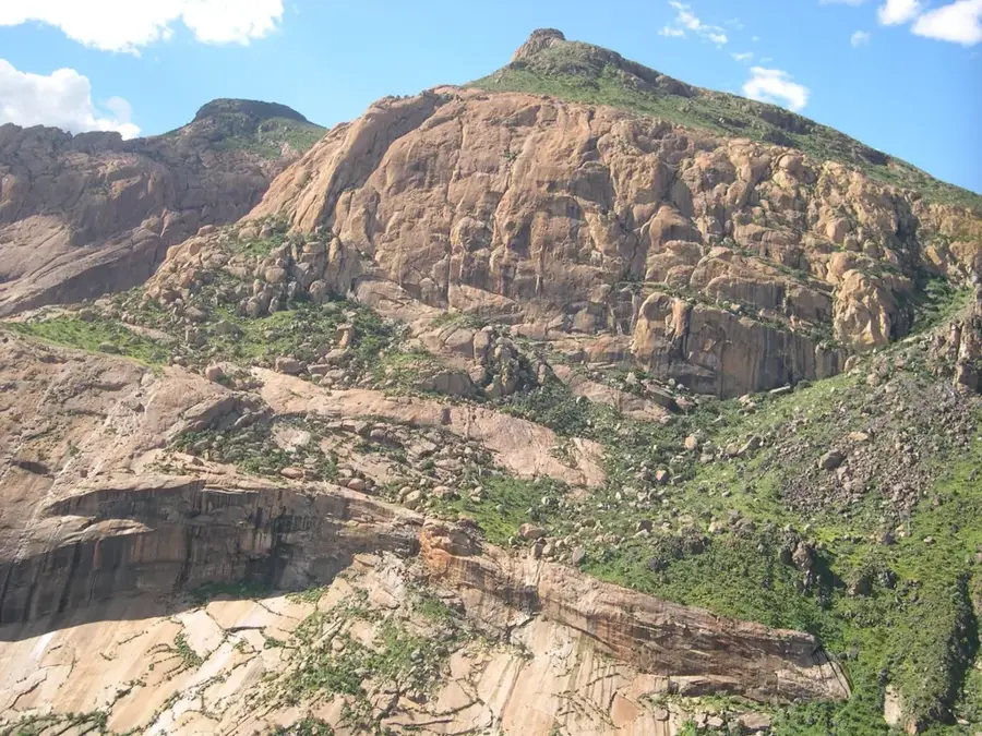
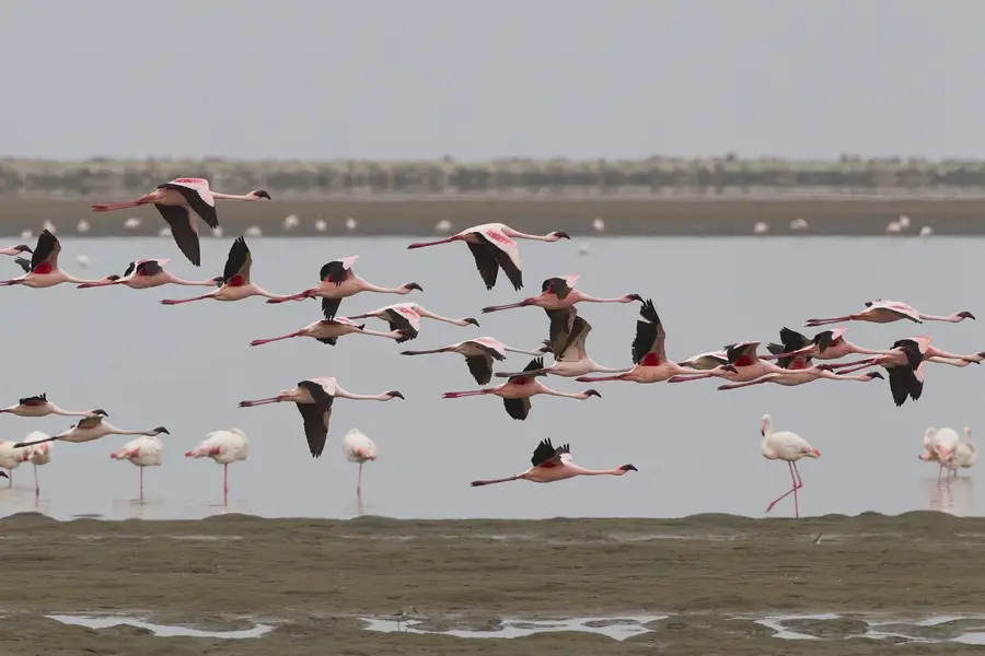
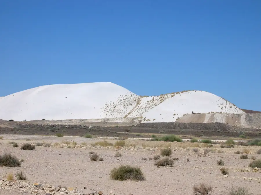
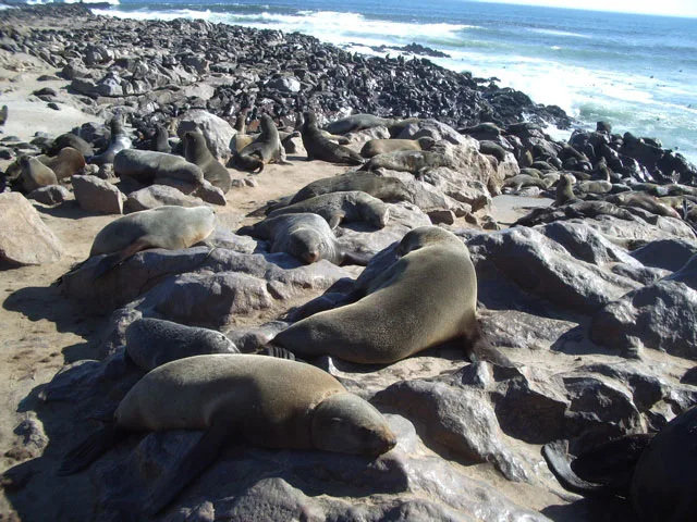
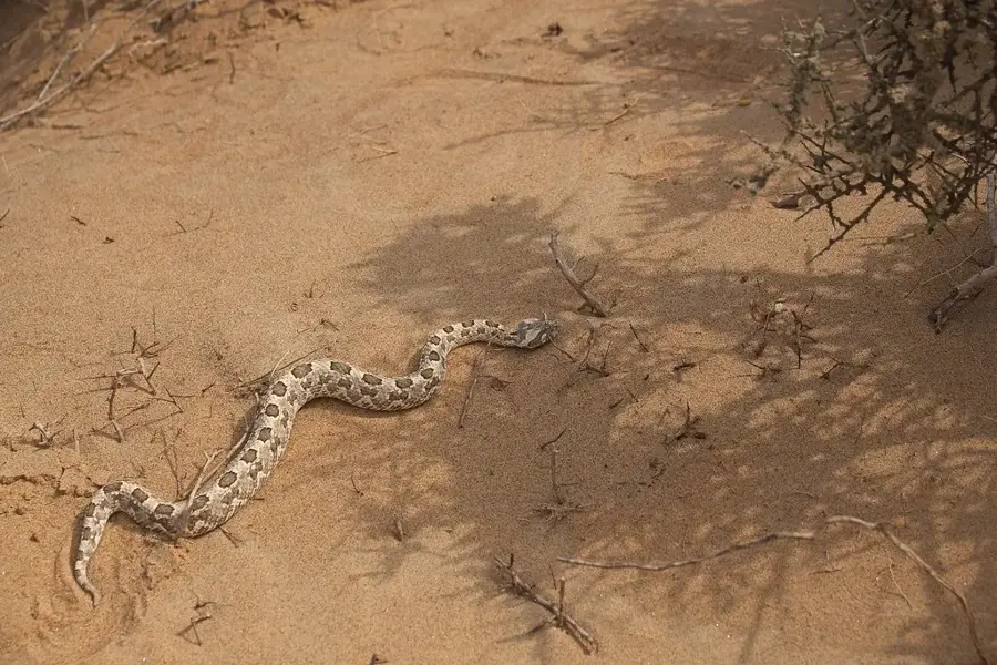
The Erongo Mountains are an impressive ring-shaped mountain massif in Namibia, formed by the collapse of a giant volcano approximately 130 million years ago. This geological peculiarity, known as a ring complex, hosts a unique blend of various ecosystems and remarkable biodiversity. Due to the significant elevation differences and the granite rocks' ability to store water in crevices, plant species can be found here that do not occur in the surrounding semi-desert. The fauna of the Erongo is equally diverse, including rare species such as the Hartmann's mountain zebra, leopards, and a variety of endemic birds. For nature lovers, the mountains offer spectacular landscapes with bizarre granite formations and vast views over the plains. Historically, the area is of great significance as it shelters numerous sites of prehistoric rock paintings and engravings, testifying to thousands of years of habitation by the San people. Today, much of the mountainside is privately owned and protected as a nature reserve, enabling sustainable tourism and wildlife management. The Erongo region is also renowned for its rich deposits of gemstones and minerals, attracting climbers and geologists alike.
- Location: Namibia
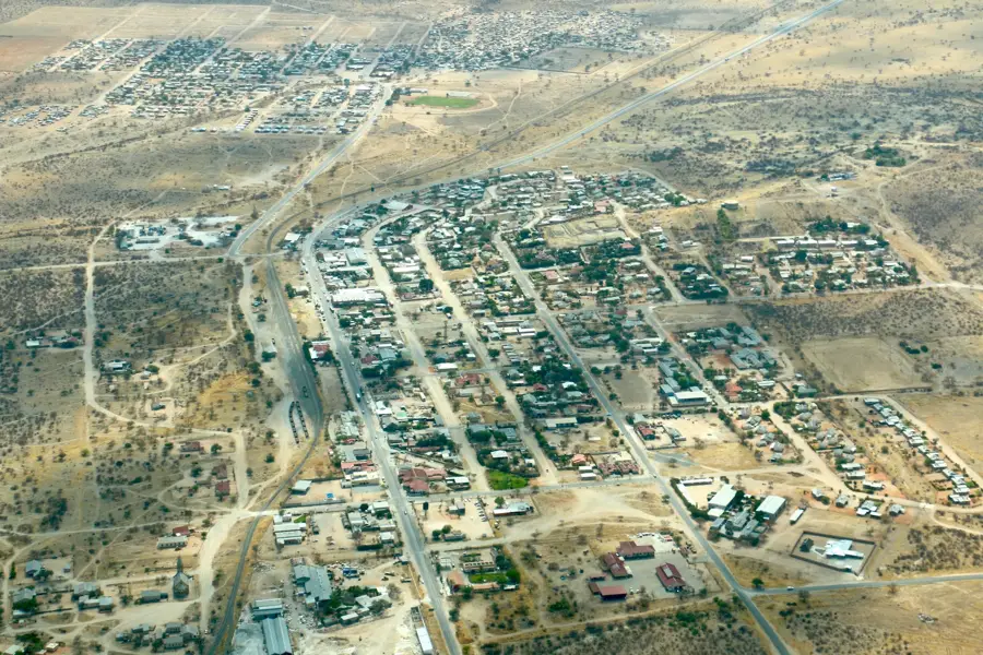
- Top sights: Gramadoelas · Sundowner-Koppe · Okombahe
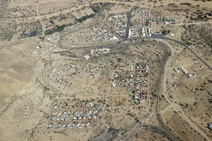
- Nearby: Okombahe (19 km)
Best time to visit & climate
The most pleasant time to visit is May, Aug, Sep.
| Jan | Feb | Mar | Apr | May | Jun | Jul | Aug | Sep | Oct | Nov | Dec | |
|---|---|---|---|---|---|---|---|---|---|---|---|---|
| Avg °C | 26 | 25 | 25 | 23 | 20 | 17 | 17 | 19 | 22 | 25 | 26 | 26 |
| Rain mm | 51 | 73 | 57 | 34 | 3 | 0 | 0 | 0 | 1 | 7 | 14 | 19 |
📋 Practical info
Geography
Facts
- The highest point of the massif is at 2,320 meters.
- The ring complex has a diameter of about 35 kilometers.
- The rare Erongo sun gazelle was discovered here.
- Cave paintings found here date back over 2,000 years.
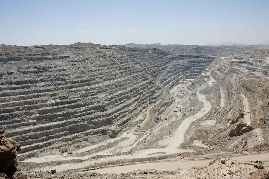
- The mountains are famous for the occurrence of aquamarine.
- The range is located northwest of the town of Omaruru.
Explore nearby
Notable places around
Route planner — Car & Motorhome
Where do you start? We build the route here, with stops and country notes along the way.
© OpenStreetMap contributors · OpenRouteService
Sights in the town Erongo Mountains (4)
Sights nearby
Frequently asked questions
Are the Erongo Mountains family-friendly?
Can you visit rock paintings there?
Best season for hiking?
Are there dangerous wildlife?
How long should you stay?
Erongo Mountains: where is it located?
Erongo Mountains: what is there to see?
Erongo Mountains: when is the best time to visit?
Erongo Mountains: why is it worth visiting?

Nearby cities

History & landmarks
Nature
More places