Plizio Visual Lab
Omatjete
ℹ️Practical info — Omatjete
▾
🌤 Weather — 5 days
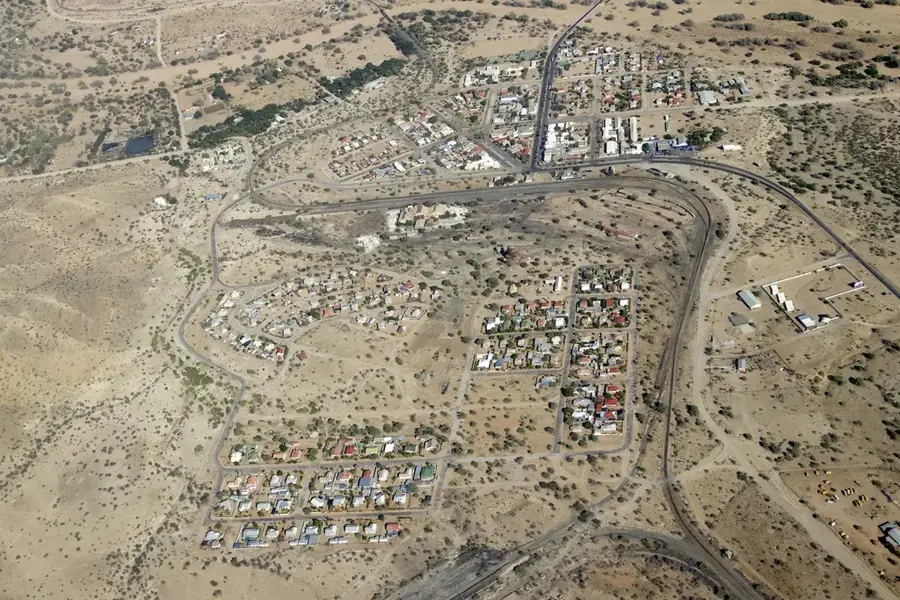
📍 Nearby
Sights nearby
💡 Tips
- Omatjete is a gateway to the Ugab River; book a guided tour to safely track the rare desert-adapted elephants.
- Always carry spare tires and extra fuel, as the surrounding terrain is extremely remote and sandy.
- Ask for permission before photographing Herero women in their iconic Victorian-style dresses and horn-shaped hats.
- Visit the local fountain which gave the village its name ('tasty water' in Otjiherero).
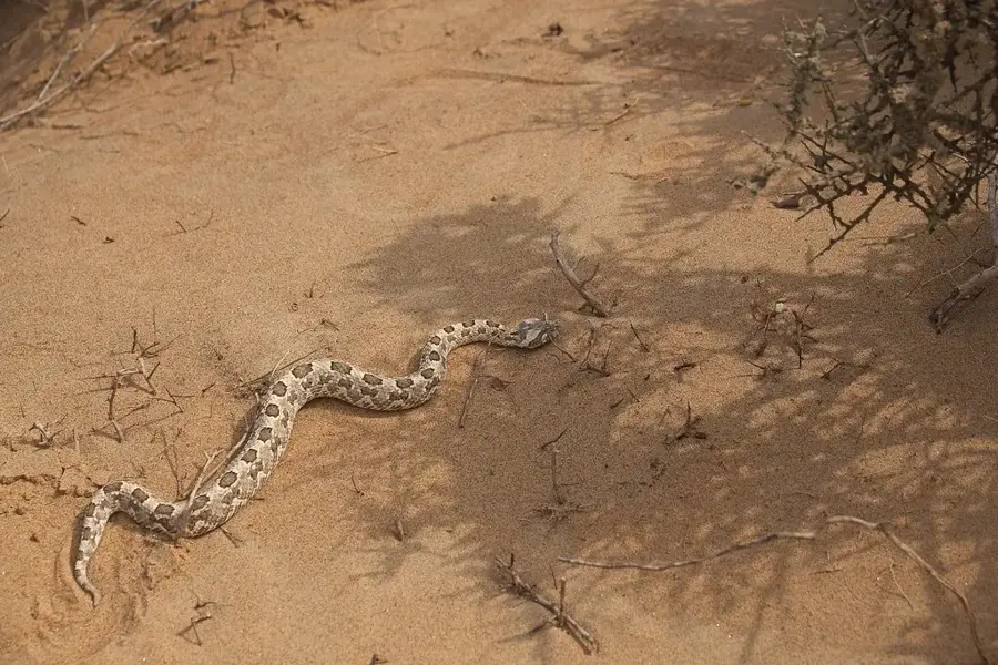
- Check local reports on elephant movements to avoid unexpected wildlife encounters while driving.
🍽 Food
A thick, fermented sour milk that is a staple of the Herero pastoralist culture.
A slow-cooked meat and vegetable stew prepared in a cast-iron pot over an open fire.
Grilled beef strips seasoned with spicy salt, typically found at informal roadside stalls.
🛍 Shopping · 🧘 Quiet spots
Buy handmade fabric dolls that meticulously replicate the traditional dress of Herero women.
Visit the communal cattle auctions for an authentic look into the backbone of the local economy.
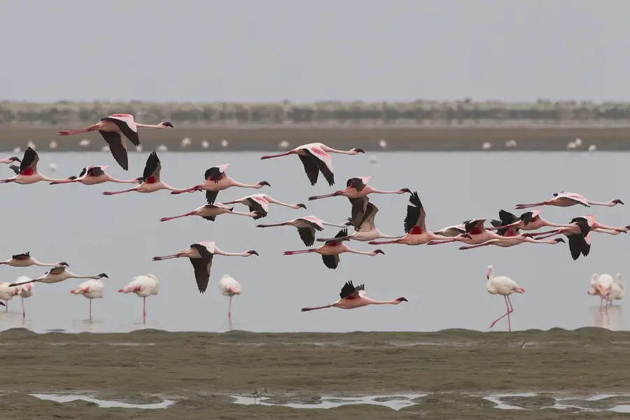
A peaceful spot for birdwatching, well away from the main tourist transit routes.
The vast bushveld surrounding the village has endless horizons and absolute silence.
Water temperature…
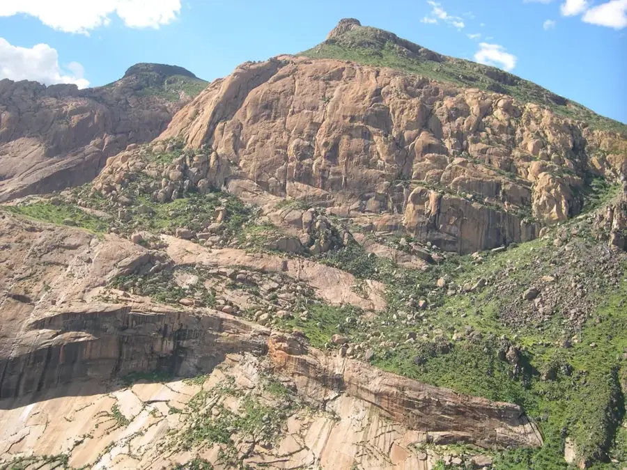
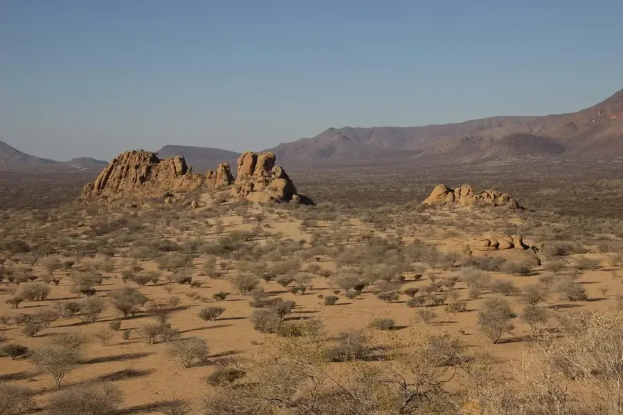
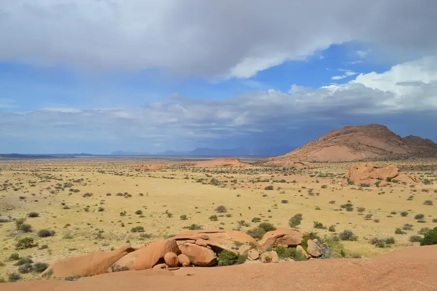
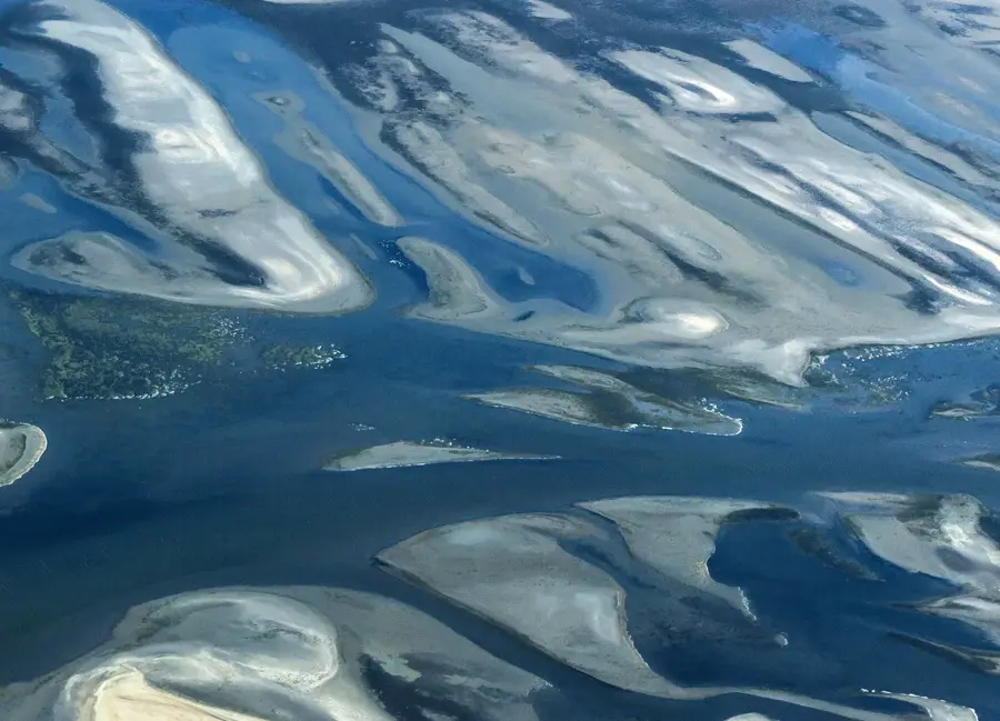
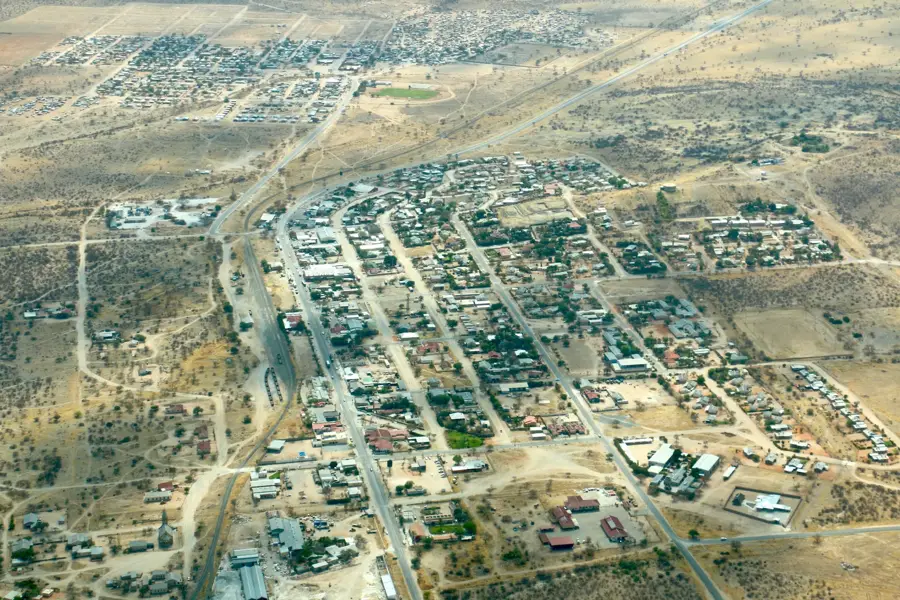
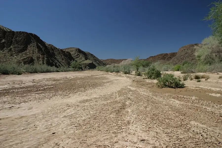
Omatjete is a rural settlement in the northwestern Erongo Region of Namibia, located within the communal lands of Damaraland. The town functions as an administrative and economic hub for surrounding small-scale farmers who primarily specialize in cattle and goat rearing. Geographically, Omatjete is situated in a sprawling savanna landscape framed by prominent mountains and ephemeral riverbeds. A unique feature of the region is the presence of desert-adapted elephants, which frequently migrate through the area and occasionally come into conflict with local residents. The community is deeply involved in conservation initiatives aimed at promoting peaceful coexistence with the indigenous wildlife. Infrastructurally, Omatjete is modestly equipped, featuring a school, a clinic, and small shops catering to daily needs. The remote nature of the settlement gives visitors an authentic glimpse into Namibian rural life, well away from the standard tourist circuits. The climate is hot and dry, with the sparse summer rains being critical for the survival of the local livestock.
- Location: Namibia
- Nearby: Okombahe (37 km)
Best time to visit & climate
The most pleasant time to visit is May, Aug, Sep.
| Jan | Feb | Mar | Apr | May | Jun | Jul | Aug | Sep | Oct | Nov | Dec | |
|---|---|---|---|---|---|---|---|---|---|---|---|---|
| Avg °C | 26 | 26 | 25 | 23 | 20 | 17 | 17 | 20 | 23 | 26 | 26 | 27 |
| Rain mm | 62 | 78 | 63 | 34 | 3 | 0 | 0 | 0 | 1 | 7 | 17 | 26 |
Geography
Facts
- Omatjete is located within the Daures constituency of the Erongo Region.
- The settlement is a focal point for desert-adapted elephant conservation.
- Livestock farming is the primary livelihood for the local population.
- The town is connected via gravel roads to Khorixas and Omaruru.
- The majority of the inhabitants belong to the Herero language group.
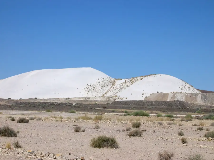
- Significant granite rock formations are located in the surrounding landscape.
Explore nearby
Notable places around
Route planner — Car & Motorhome
Where do you start? We build the route here, with stops and country notes along the way.
© OpenStreetMap contributors · OpenRouteService
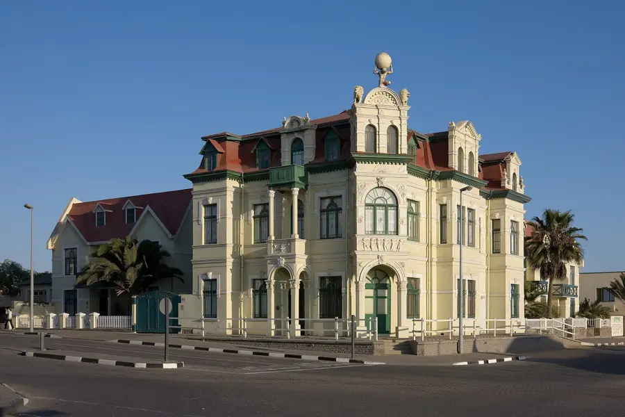
Sights in the town Omatjete (1)
Frequently asked questions
What is the peculiarity of Omatjete?
Is it worth a visit for tourists?
What is the terrain like?
Is there a petrol station on site?
What precautions are important?
Omatjete: where is it located?
Omatjete: when is the best time to visit?
Omatjete: why is it worth visiting?

Nearby cities

History & landmarks
Nature
More places