Plizio Visual Lab
Erongo Mountains
Weather…
Water temperature…
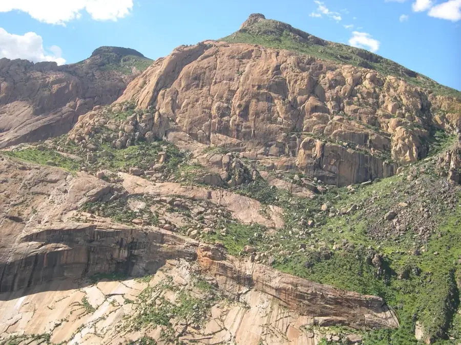
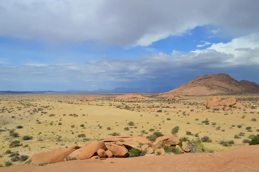
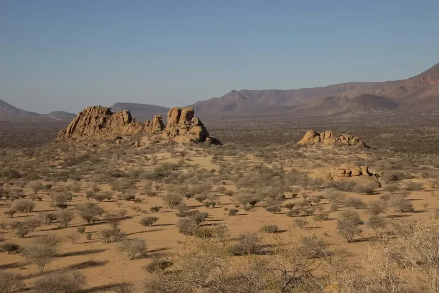
The Erongo Mountains are a distinctive ring complex in Namibia, shaped by massive volcanic activity over 130 million years ago. The ring-shaped structure has a diameter of about 35 kilometers and is the result of a caldera that collapsed after a massive eruption. Over millions of years, erosion has exposed the resilient granite and rhyolite rocks that today form the striking peaks and slopes of the mountains. The topography of the Erongo is extremely varied, including steep rock faces, deep gorges, and wide plateaus. The range acts like an island in the flat savanna and, due to its altitude and the rocks' ability to retain moisture, hosts its own microclimate. This favors vegetation that is significantly denser than in the surrounding areas. Mineralogically, the area is world-renowned, particularly for deposits of aquamarine, tourmaline, and topaz. Historically, the numerous caves and rock overhangs provided shelter for the San people, who left behind a rich legacy of rock paintings. Today, the mountains are a center for eco-tourism, offering spectacular opportunities for hiking and geological excursions.
- Location: Namibia
- Top sights: Schöne Aussicht · Singing Rock · Erongo Mountain Nature Sanctuary
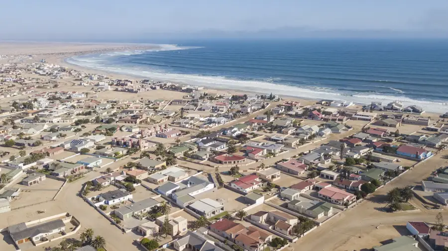
- Nearby: Karibib (35 km)
Best time to visit & climate
The most pleasant time to visit is May, Aug, Sep.
| Jan | Feb | Mar | Apr | May | Jun | Jul | Aug | Sep | Oct | Nov | Dec | |
|---|---|---|---|---|---|---|---|---|---|---|---|---|
| Avg °C | 26 | 25 | 25 | 23 | 20 | 17 | 17 | 19 | 22 | 25 | 26 | 26 |
| Rain mm | 51 | 73 | 57 | 34 | 3 | 0 | 0 | 0 | 1 | 7 | 14 | 19 |
📋 Practical info
Geography
Facts
- The diameter of the Erongo structure is 35 kilometers.
- The massif was formed during the Jurassic and Cretaceous periods.
- It contains the largest private nature reserve in Namibia.
- The rocks store rainwater throughout the entire dry season.
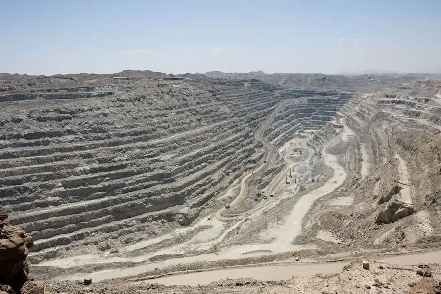
- The area is a significant site for finding aquamarines.
- Erongo is located in the triangle between Omaruru, Karibib, and Usakos.
Explore nearby
Notable places around
Route planner — Car & Motorhome
Where do you start? We build the route here, with stops and country notes along the way.
© OpenStreetMap contributors · OpenRouteService
Sights in the town Erongo Mountains (3)
Sights nearby
Frequently asked questions
What is the geological peculiarity of the Erongo Mountains?
Is hiking without a guide safe?
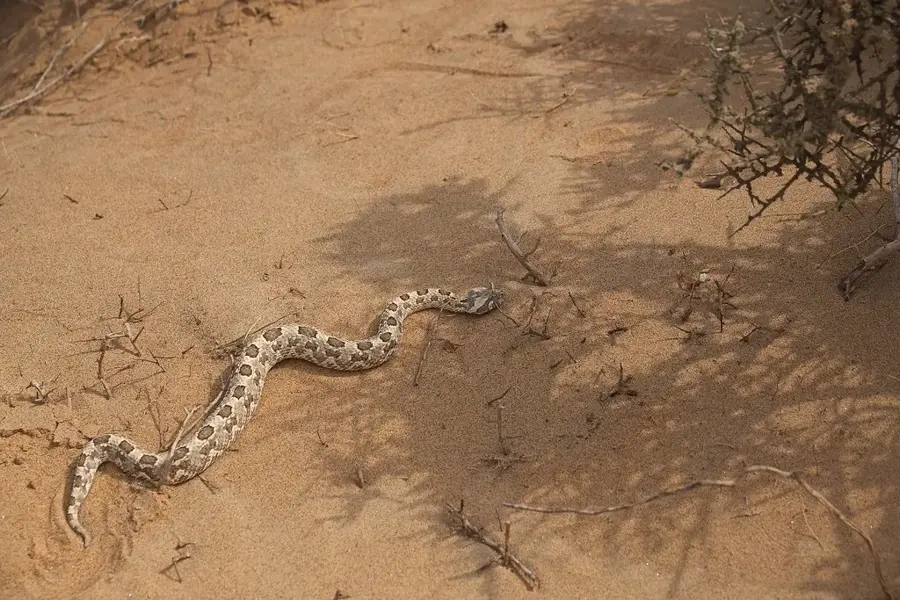
What animals are often seen?
Is the terrain too challenging for kids?
Do I need a 4x4 car?
Erongo Mountains: where is it located?
Erongo Mountains: what is there to see?
Erongo Mountains: when is the best time to visit?
Erongo Mountains: why is it worth visiting?

Nearby cities
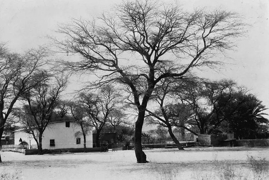

History & landmarks
Nature
More places