Plizio Visual Lab
Sutorman Pass
Weather…
Water temperature…
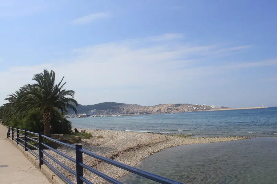
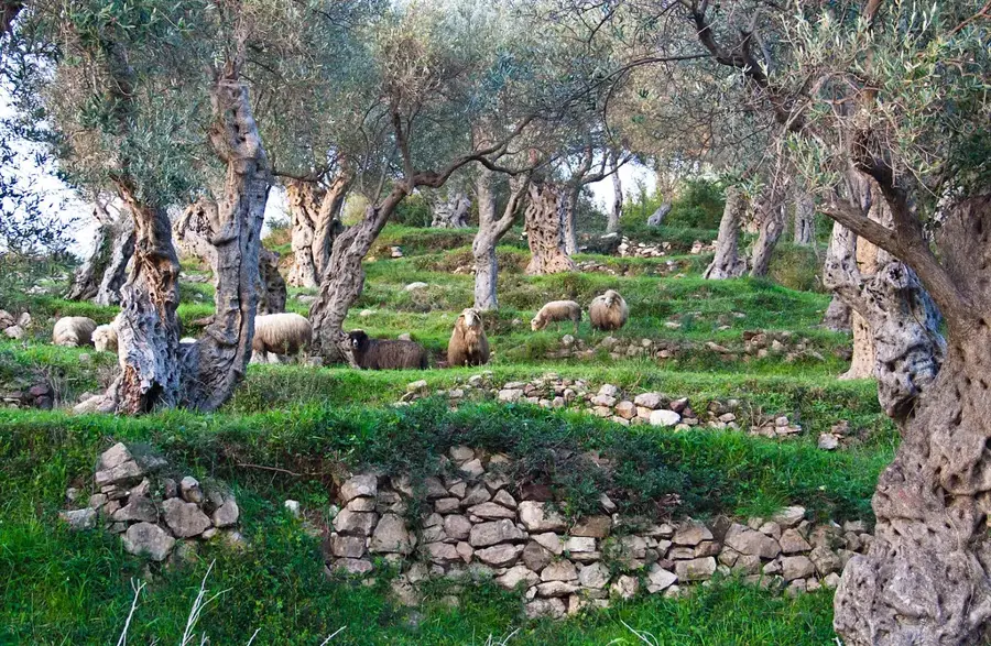
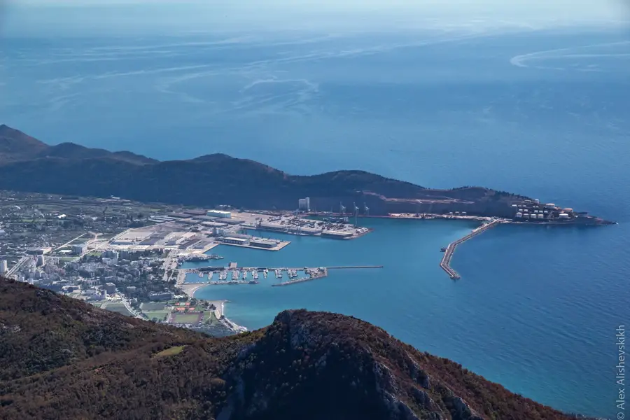
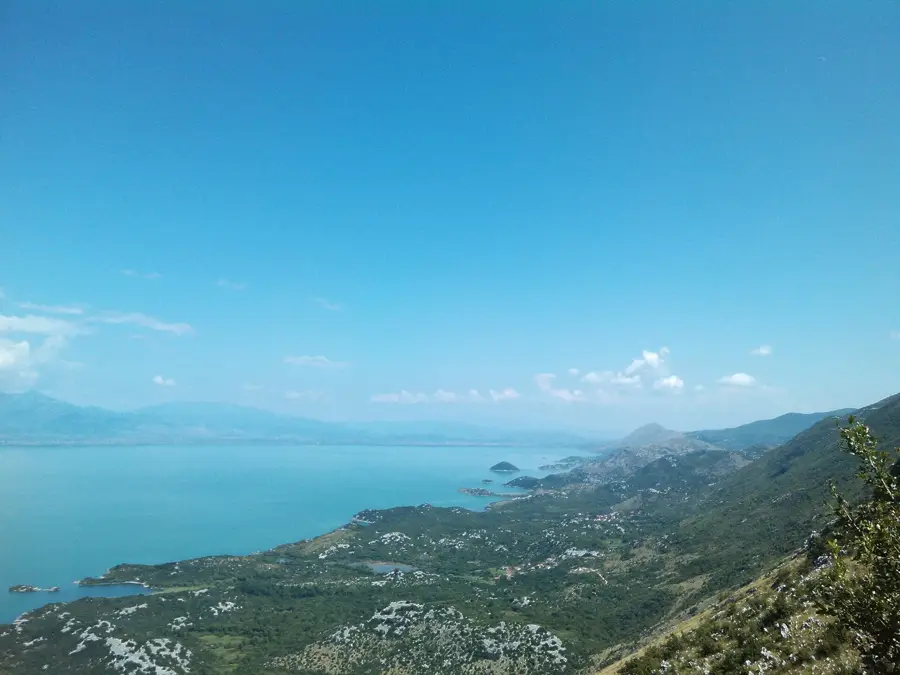
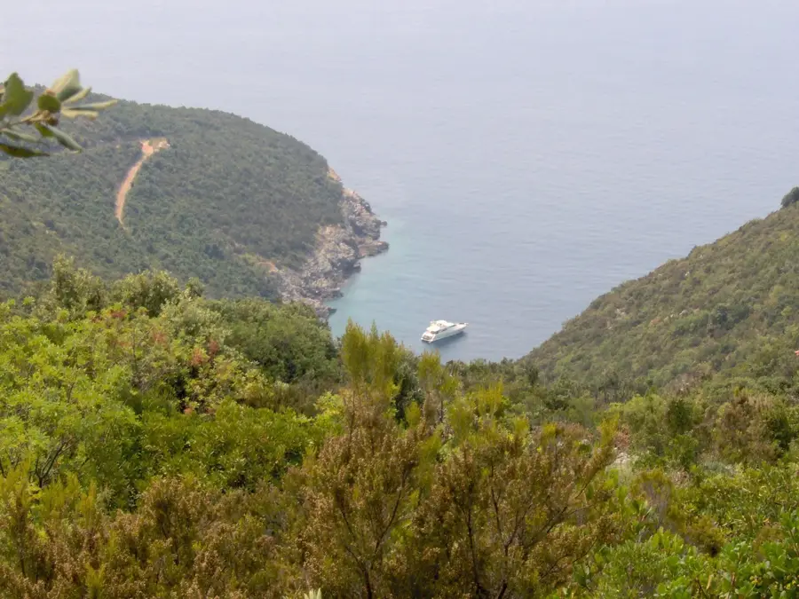
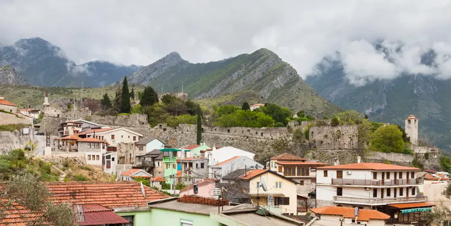
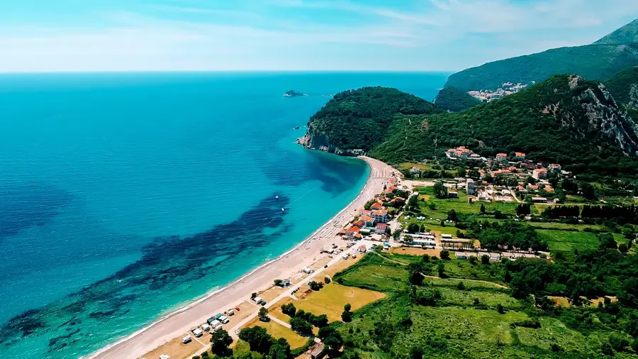
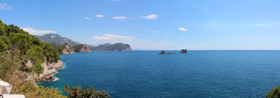
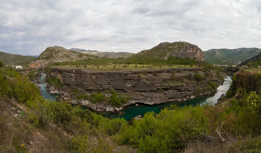
The Sutorman Pass is located in the Rumija Mountains of southern Montenegro at an elevation of approximately 805 meters. It serves as a historically significant passage connecting the coastal city of Bar with the Lake Skadar basin near Virpazar. Geologically, the pass is defined by limestone structures and pronounced erosion, characteristic of the Montenegrin coastal range. Since antiquity, this pass was a strategic trade route used for transporting salt, olive oil, and wine before modern tunnel connections were established. The flora along the pass road is diverse, encompassing both Mediterranean macchia and continental forest species, highlighting the pass's role as a climatic divide. In the 19th century, the road over Sutorman was systematically improved to ensure military control over the region. Today, the route is popular among cyclists and hikers who wish to enjoy spectacular views of the Adriatic Sea and the hinterland. Despite the opening of the Sozina Tunnel, the Sutorman Pass has maintained its importance as a scenic alternative route and a piece of cultural heritage.
- Location: Montenegro
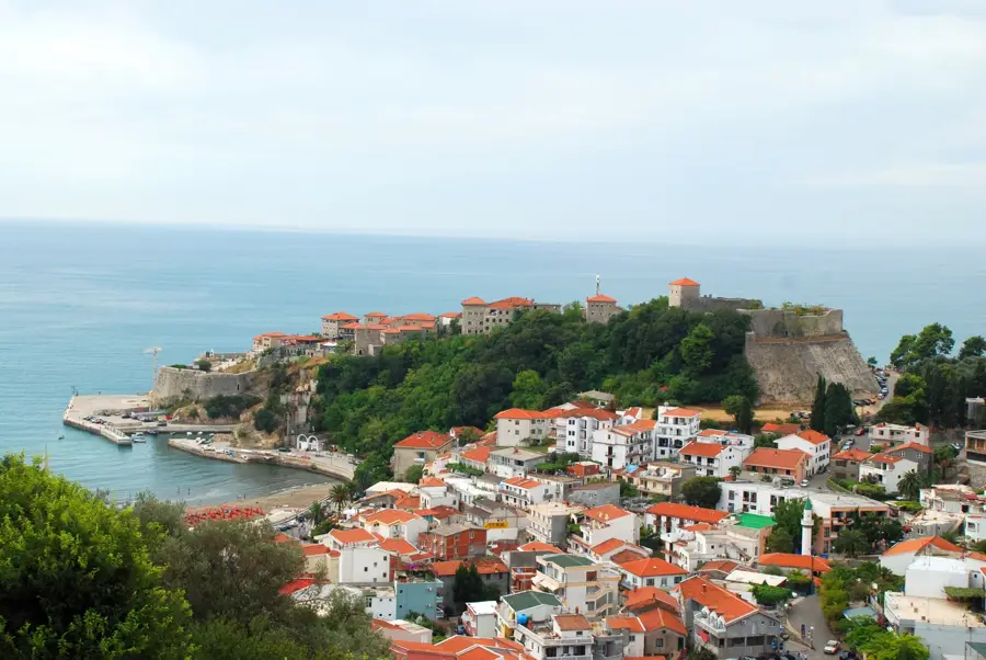
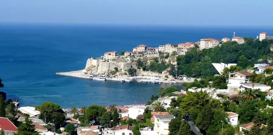
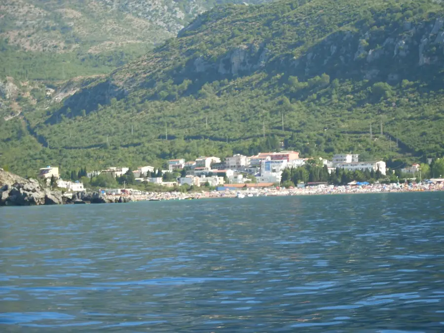
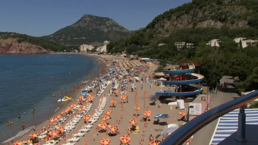
- Nearby: Canj (5 km)
Best time to visit & climate
The most pleasant time to visit is May–Jul.
| Jan | Feb | Mar | Apr | May | Jun | Jul | Aug | Sep | Oct | Nov | Dec | |
|---|---|---|---|---|---|---|---|---|---|---|---|---|
| Avg °C | 10 | 10 | 12 | 15 | 19 | 23 | 26 | 26 | 23 | 19 | 15 | 12 |
| Rain mm | 147 | 141 | 129 | 95 | 76 | 56 | 31 | 37 | 109 | 131 | 176 | 169 |
📋 Practical info
Geography
Facts
- The Sutorman Pass is situated at an elevation of 805 meters above sea level.
- It divides the Adriatic coast from the Lake Skadar catchment area.
- The old road over the pass was the main link to Bar until the 20th century.
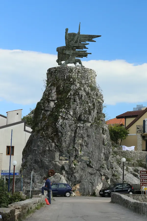
- Ruins of Austro-Hungarian fortifications can be found in the vicinity.
- The pass is known for experiencing high wind speeds during winter months.
- The region is rich in medicinal herbs and endemic floral species.
Explore nearby
Notable places around
Route planner — Car & Motorhome
Where do you start? We build the route here, with stops and country notes along the way.
© OpenStreetMap contributors · OpenRouteService
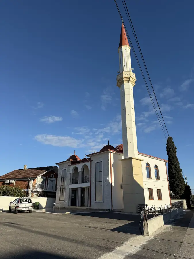
Sights in the town Sutorman Pass (1)
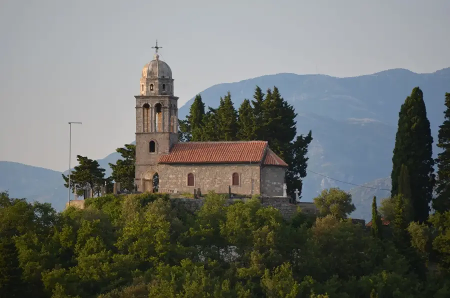
Sights nearby
Frequently asked questions
Where is the Sutorman Pass located?
Can you drive through the pass by car?
Are there historical remains there?
Is the drive worth it for the view?
Are there any restaurants at the pass?
Sutorman Pass: where is it located?
Sutorman Pass: when is the best time to visit?
Sutorman Pass: why is it worth visiting?

Nearby cities


History & landmarks

Nature
More places