Plizio Visual Lab
Krstac Saddle
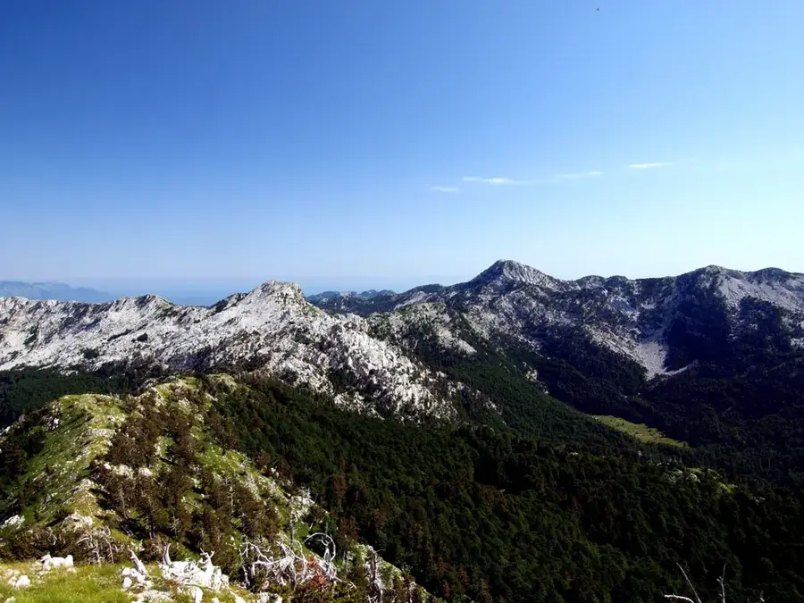
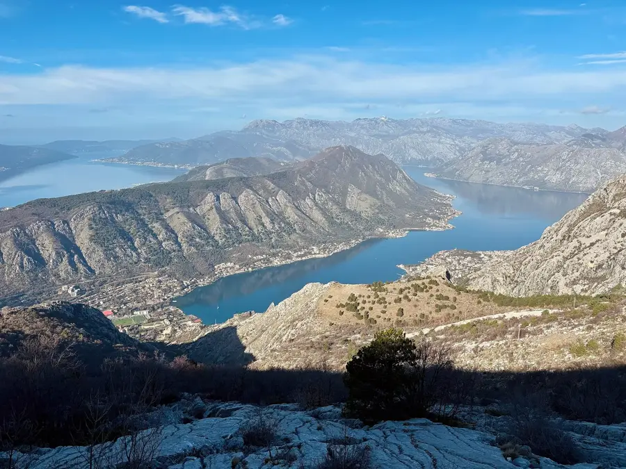
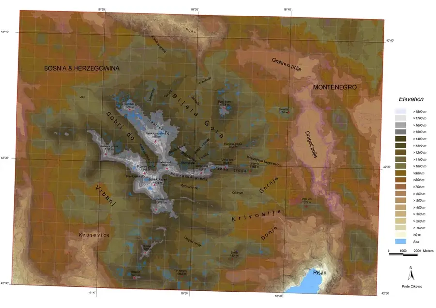
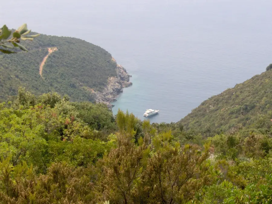
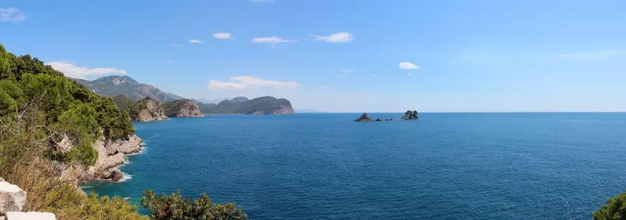
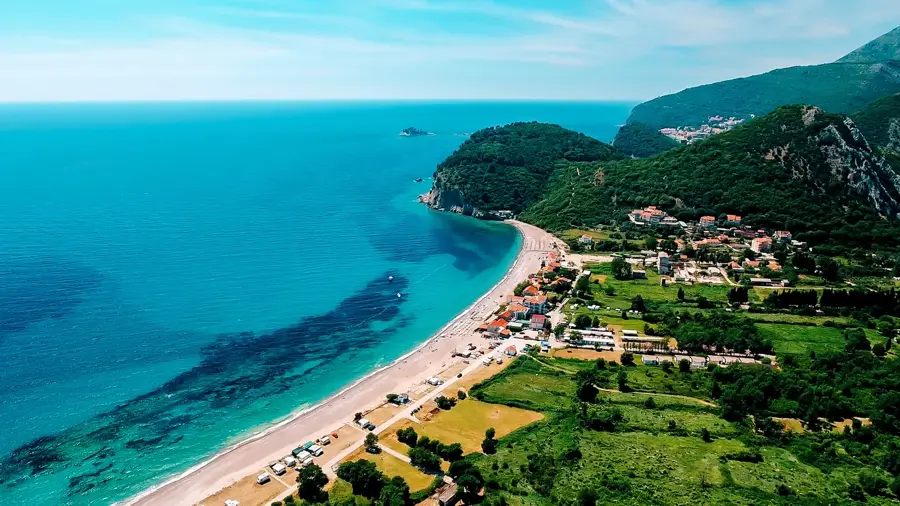
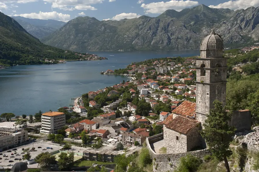
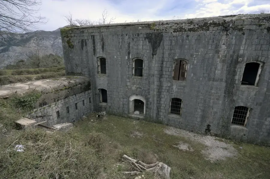
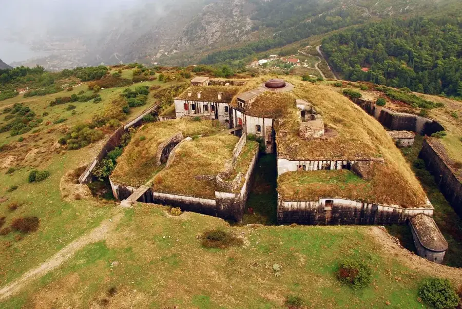
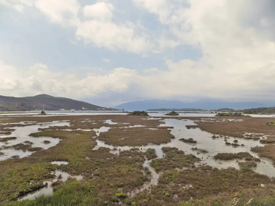
The Krstac Saddle is one of Montenegro's most historically and touristically significant mountain passes, situated at an altitude of 926 meters. It forms a strategic transition between the high plateau of Njeguši and the steep slopes leading down to the Bay of Kotor. The pass is world-famous for the old Austro-Hungarian road with its 25 serpentines, which winds spectacularly up the mountain, offering panoramic views of the Adriatic fjord. Geologically, the saddle lies in the transition zone to the Lovćen National Park and is characterized by typical karst phenomena such as sinkholes and deep rock crevices. Historically, Krstac was a decisive point for defending the old Montenegrin heartland against invasions from the coast. Today, the saddle is a popular starting point for hikes to the summit of Lovćen or down to Kotor and hosts small cafes where travelers can taste the famous Njeguši prosciutto. The climatic contrasts are particularly noticeable here, as cool mountain air meets warm sea currents, often resulting in spectacular cloud formations.
- Location: Montenegro
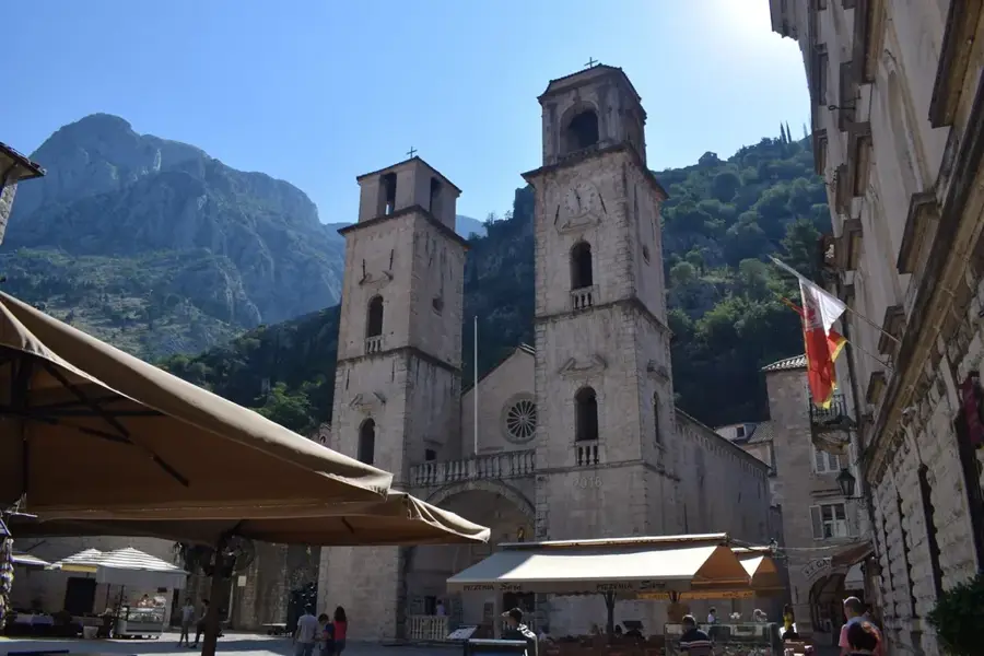
- Top sights: River Gate (North Gate) · Svete Marije Koleđate · Summer Stage
- Nearby: Prcanj (4 km)
Best time to visit & climate
The most pleasant time to visit is Jun–Aug.
| Jan | Feb | Mar | Apr | May | Jun | Jul | Aug | Sep | Oct | Nov | Dec | |
|---|---|---|---|---|---|---|---|---|---|---|---|---|
| Avg °C | 4 | 5 | 8 | 12 | 16 | 20 | 24 | 24 | 19 | 14 | 10 | 6 |
| Rain mm | 156 | 152 | 138 | 103 | 89 | 67 | 42 | 43 | 116 | 138 | 187 | 178 |
📋 Practical info
Geography
Facts
- Located at 926 meters above sea level.
- Connects Cetinje and Njeguši with Kotor.
- Famous for the 25 serpentines of the M-1 road.
- Offers panoramic views of Boka Kotorska.
- Gateway to the Lovćen National Park.
- Location for traditional gastronomy.
Explore nearby
Notable places around
Route planner — Car & Motorhome
Where do you start? We build the route here, with stops and country notes along the way.
© OpenStreetMap contributors · OpenRouteService
Sights in the town Krstac Saddle (10)
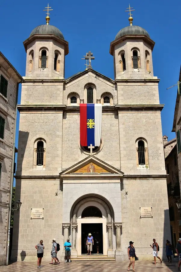
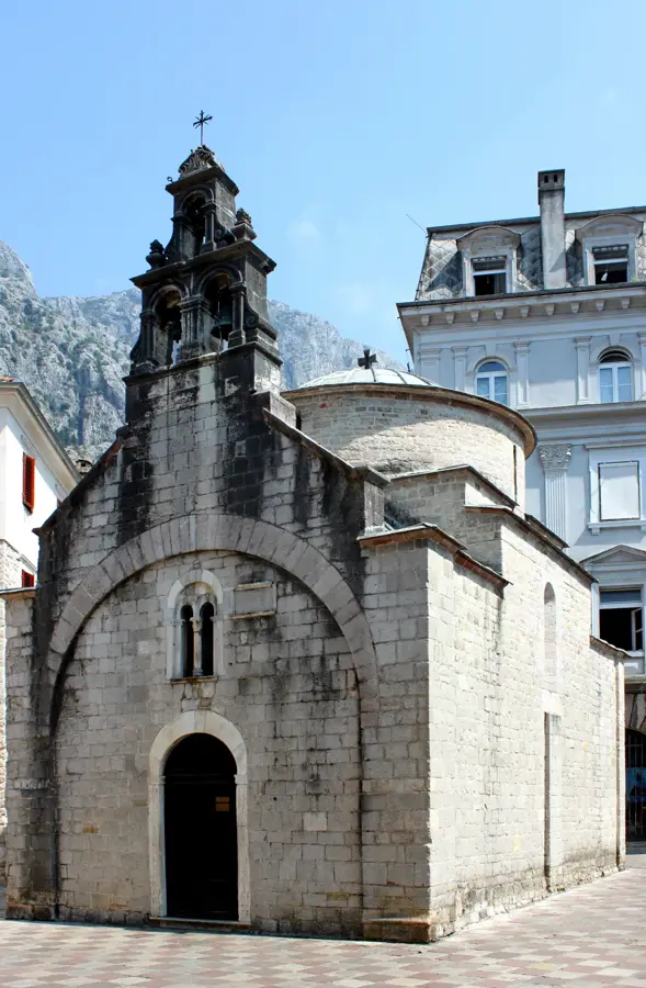
Church of St Nicolas
Church of St Nicolas is a Serbian Orthodox church in Montenegro.
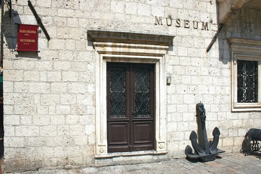
The Grgurina Palace🏰 castle
The Grgurina Palace belonged to the noble Grgurina family, built in the 18th century in Baroque style, with stone balconies.
Maritime Museum (Former place of Grgurina family 18th century)🏛 museum
The Maritime Museum in Kotor, Montenegro, is housed in the former 18th-century Grgurina Palace.
Karampana
Karampana is an attraction in Kotor, Montenegro, a fountain or square.
Church of Our Lady of Remedy
Church of Our Lady of Remedy is a church in Kotor, Montenegro.
Black poplar from 1667
Black poplar planted after the 1667 earthquake in Kotor, Montenegro.
Sights nearby
Frequently asked questions
What is the Krstac Saddle?
Why is the road over Krstac famous?
Are there restaurants at the pass?
Can you go hiking from Krstac?
How high is the Krstac Saddle?
Krstac Saddle: where is it located?
Krstac Saddle: what is there to see?
Krstac Saddle: when is the best time to visit?
Krstac Saddle: why is it worth visiting?

Nearby cities

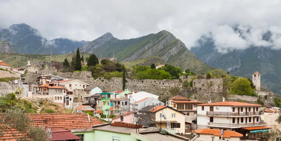


History & landmarks

Nature
More places