Plizio Visual Lab
City Walls of Kotor
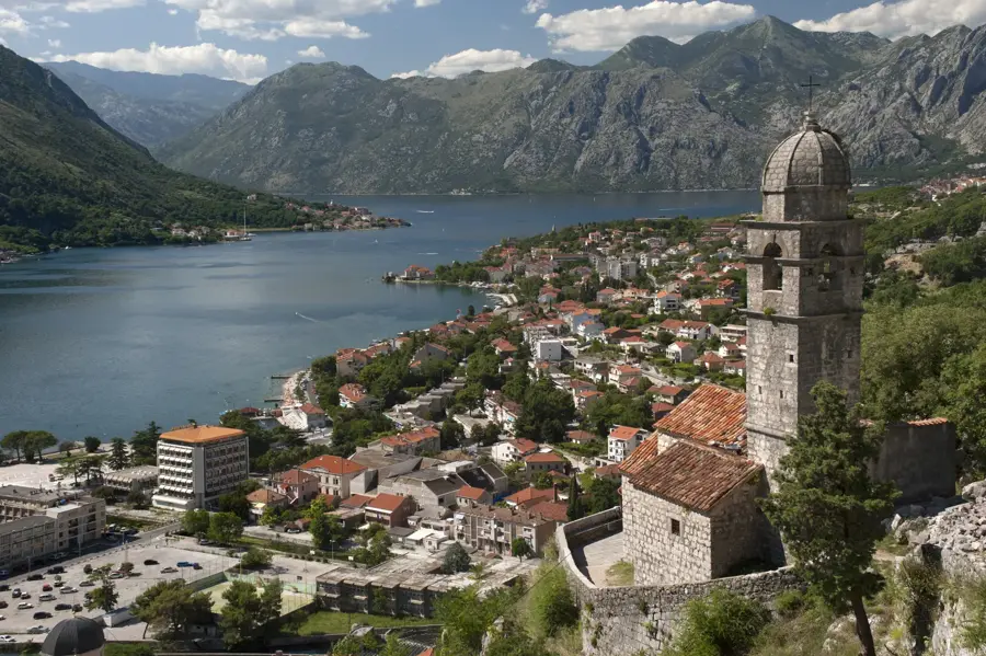
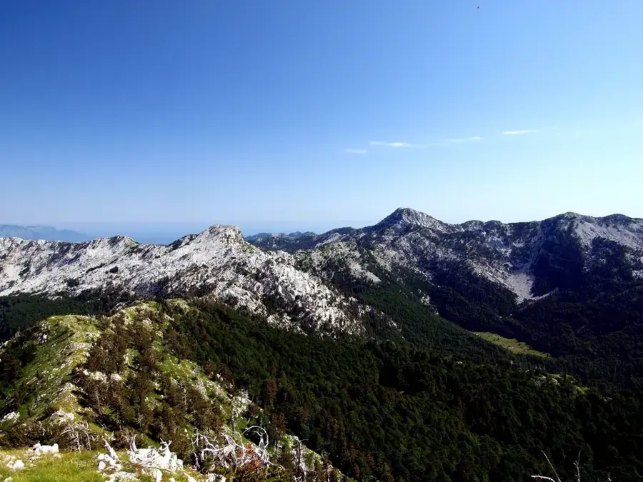
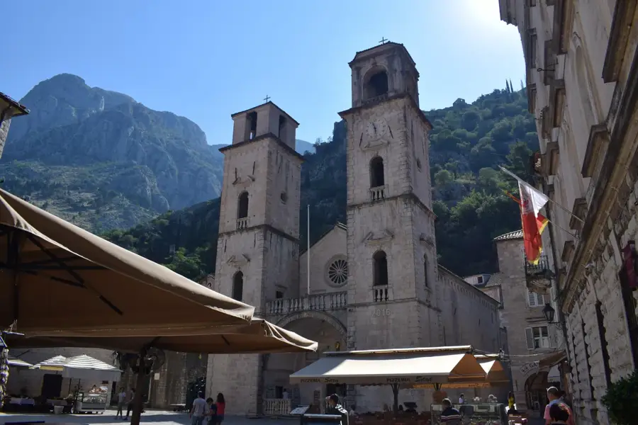
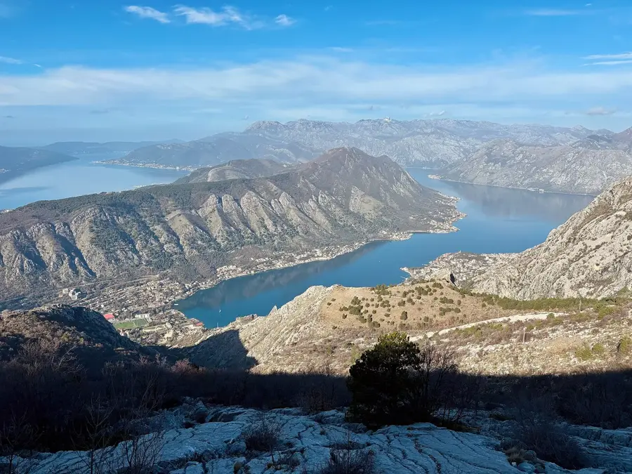
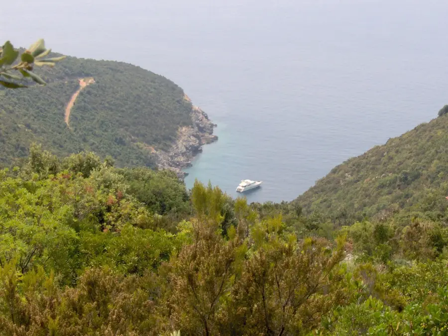
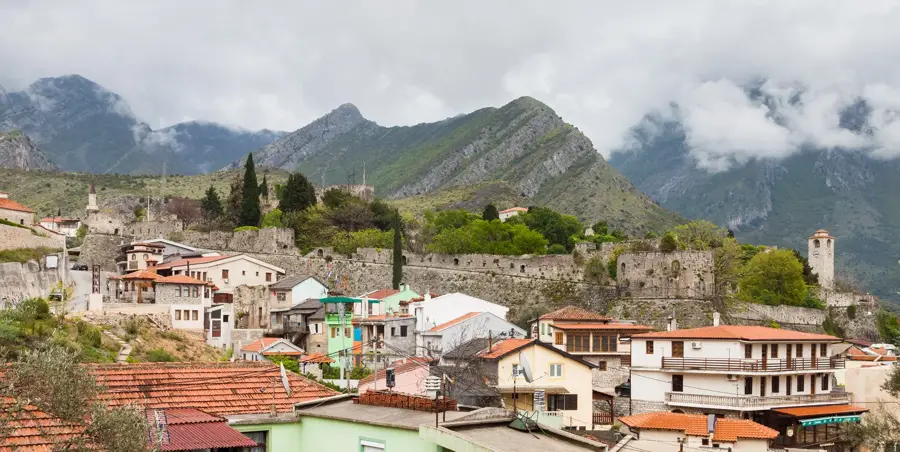
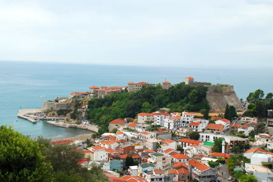
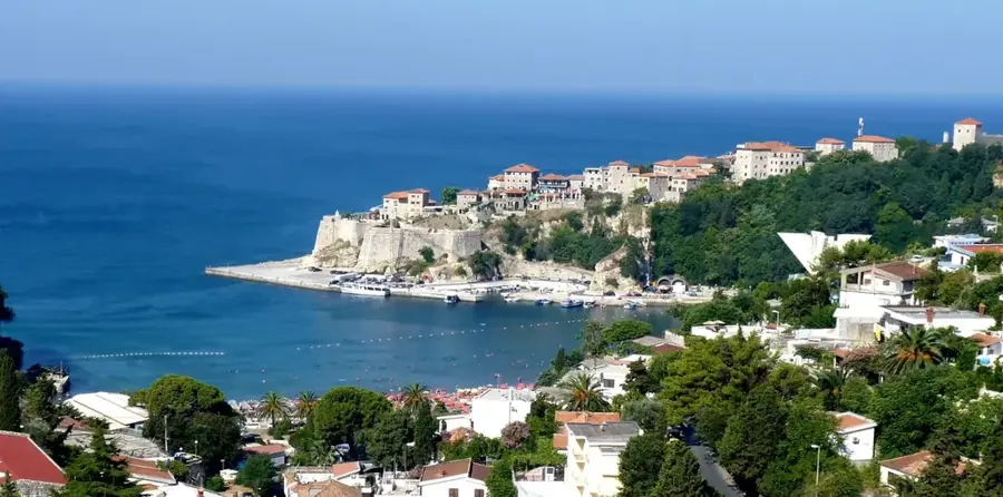
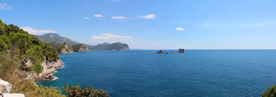
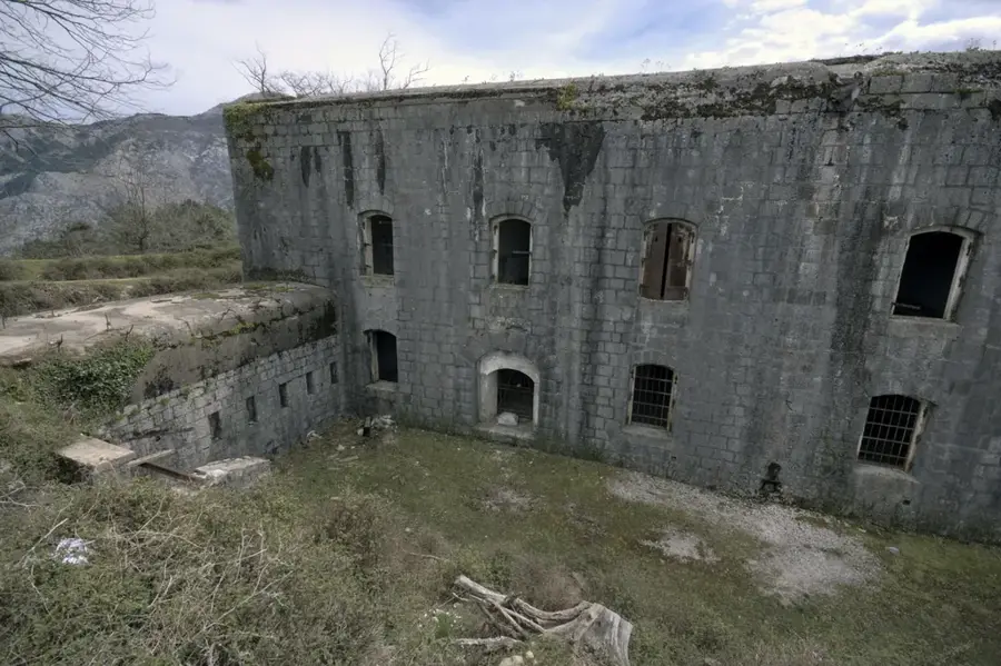
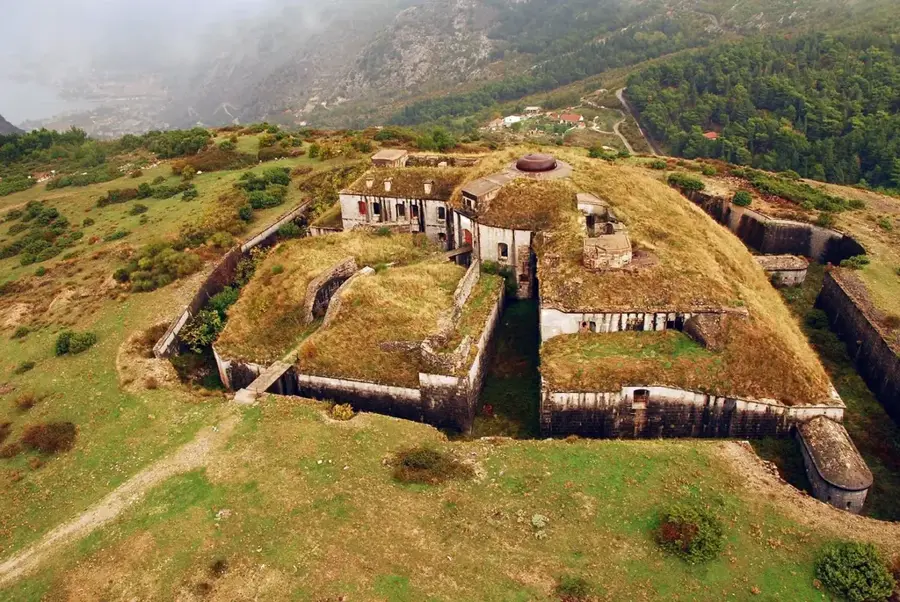
The City Walls of Kotor constitute one of the most formidable medieval defense systems in the Mediterranean basin. These fortifications stretch for approximately 4.5 kilometers, winding steeply up the slopes to the San Giovanni Fortress at an altitude of 260 meters above sea level. Construction began in the 9th century and was continually expanded and reinforced over nearly a millennium by Byzantines, Serbians, and most significantly, the Venetians. The walls range in thickness from 2 to 16 meters and reach heights of up to 20 meters, designed to withstand both naval bombardments and land sieges. In 1979, the walls were recognized as a UNESCO World Heritage site as part of the Natural and Culturo-Historical Region of Kotor. Climbing the 1,350 steps to the summit has a wide-open perspective of the Bay of Kotor, reflecting the strategic importance of this maritime stronghold throughout history.
- Location: Montenegro
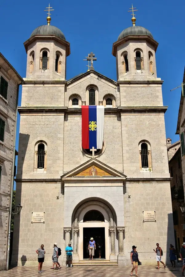
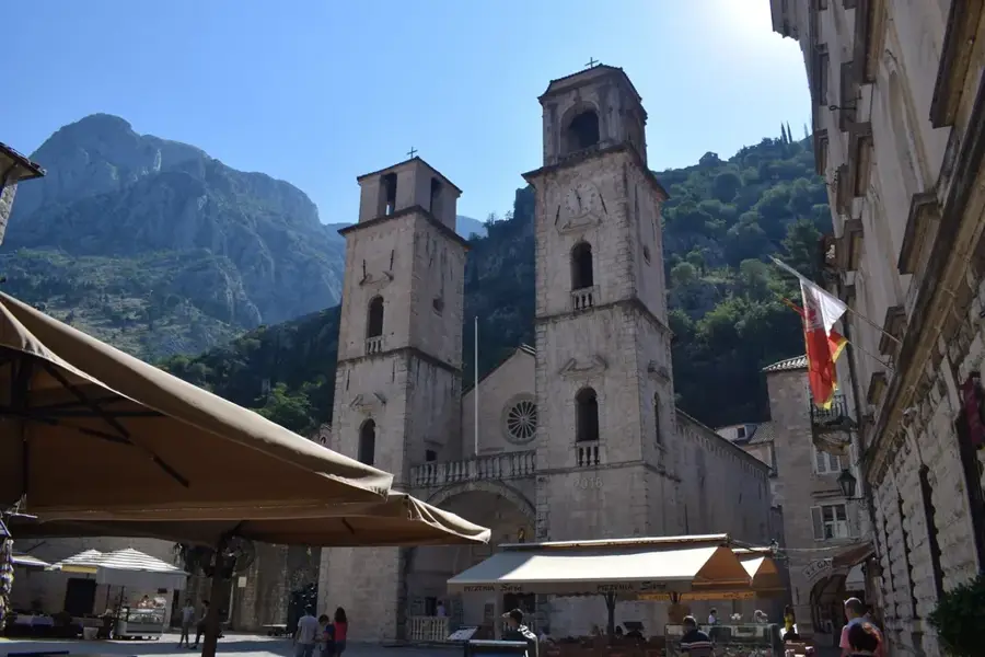
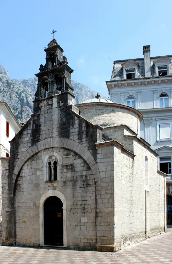
- Top sights: River Gate (North Gate) · Church of Our Lady of Remedy · Svete Marije Koleđate
- Nearby: Lovcen National Park (4 km)
Best time to visit & climate
The most pleasant time to visit is Jun–Aug.
| Jan | Feb | Mar | Apr | May | Jun | Jul | Aug | Sep | Oct | Nov | Dec | |
|---|---|---|---|---|---|---|---|---|---|---|---|---|
| Avg °C | 4 | 5 | 8 | 12 | 16 | 20 | 24 | 24 | 19 | 14 | 10 | 6 |
| Rain mm | 156 | 152 | 138 | 103 | 89 | 67 | 42 | 43 | 116 | 138 | 187 | 178 |
📋 Practical info
Geography
Facts
- The total length of the fortification system is approximately 4.5 kilometers.
- The walls ascend to a peak altitude of 260 meters at St. John's Fortress.
- A total of 1,350 steps lead from the Old Town to the highest ramparts.
- At their base, the walls reach a maximum thickness of 16 meters.
- Kotor's walls have been a UNESCO World Heritage site since 1979.
- The fortifications were primarily built between the 9th and 19th centuries.
Explore nearby
Notable places around
Route planner — Car & Motorhome
Where do you start? We build the route here, with stops and country notes along the way.
© OpenStreetMap contributors · OpenRouteService
Sights in the town City Walls of Kotor (10)
Summer Stage
Open-air stage in Kotor, used for cultural events.
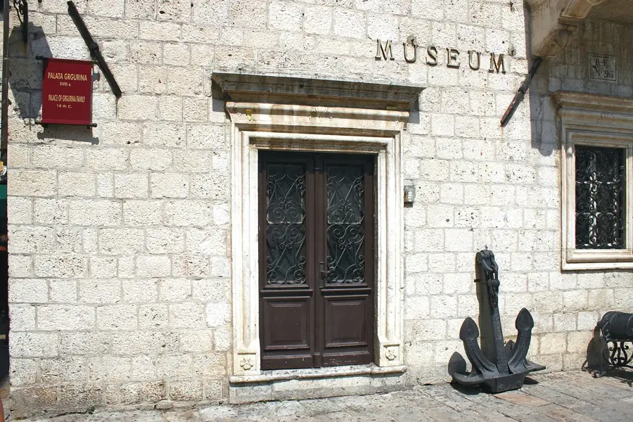
The Grgurina Palace🏰 castle
18th-century Baroque palace built for the noble Grgurina family.
Church of St Paul
Church in Kotor, dedicated to Saint Paul.
Maritime Museum (Former place of Grgurina family 18th century)🏛 museum
Maritime Museum in Kotor, Montenegro, housed in the former Grgurina Palace.
Karampana
Attraction in Kotor, a square or fountain in the old town.
The Drago Palace🏰 castle
Palace in Kotor, a historic building in the old town.
Sights nearby
Frequently asked questions
How many steps must you climb to San Giovanni fortress?
Does it cost money to climb the city walls?
What is the best time of day for the climb?
How long are the entire city walls of Kotor?
Is there drinking water along the way?
City Walls of Kotor: where is it located?
City Walls of Kotor: what is there to see?
City Walls of Kotor: when is the best time to visit?
City Walls of Kotor: why is it worth visiting?

Nearby cities


History & landmarks

Nature
More places