Plizio Visual Lab
Rezina Hills

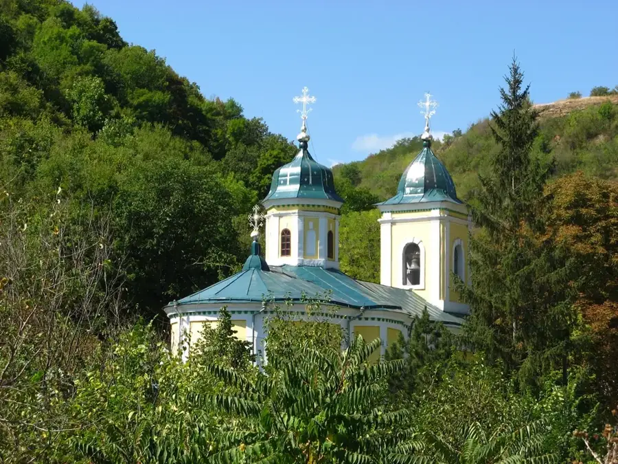
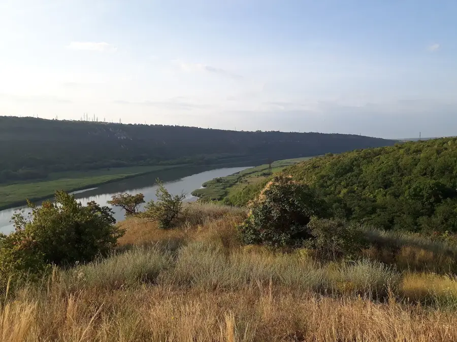
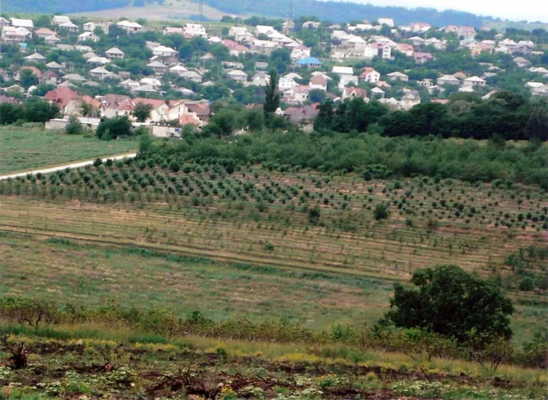
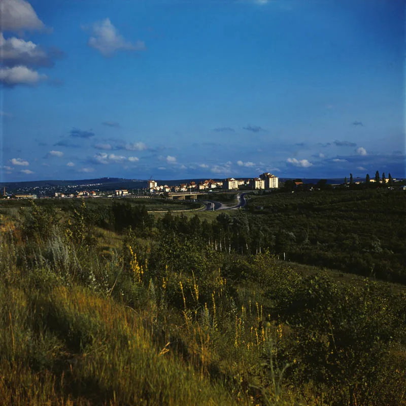
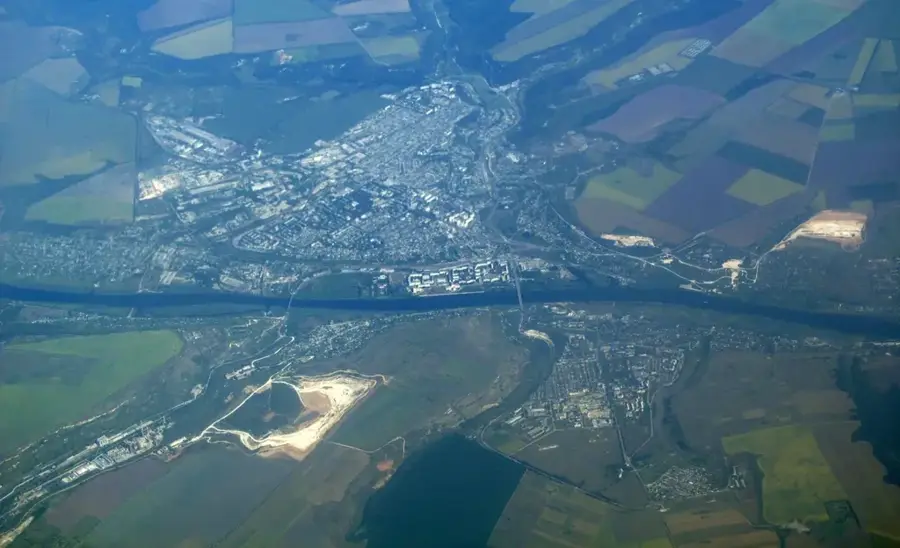
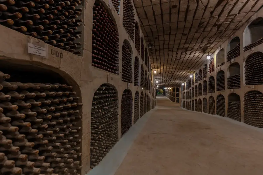
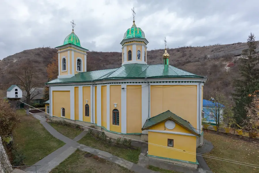
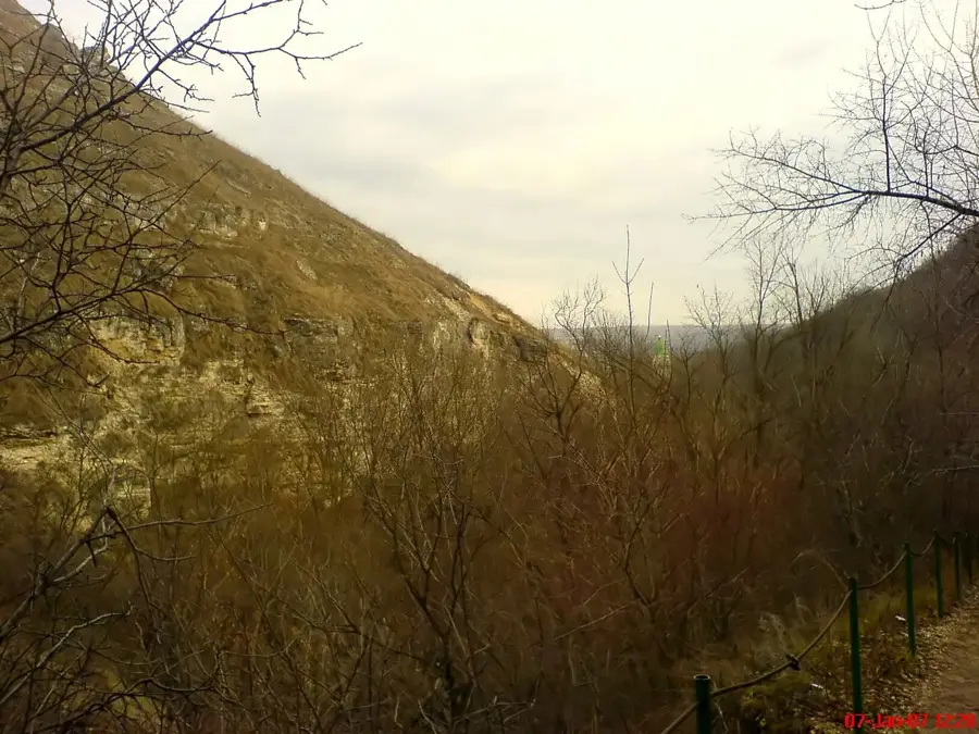
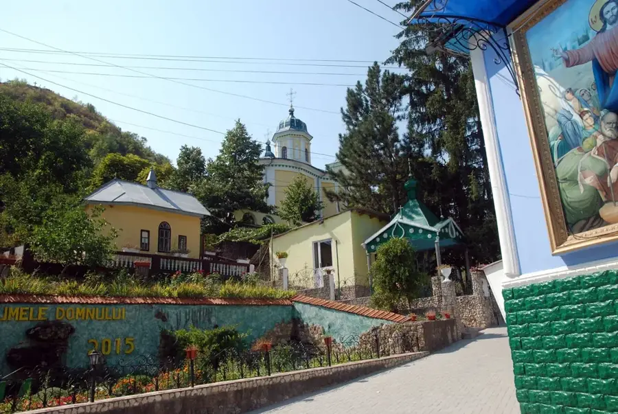
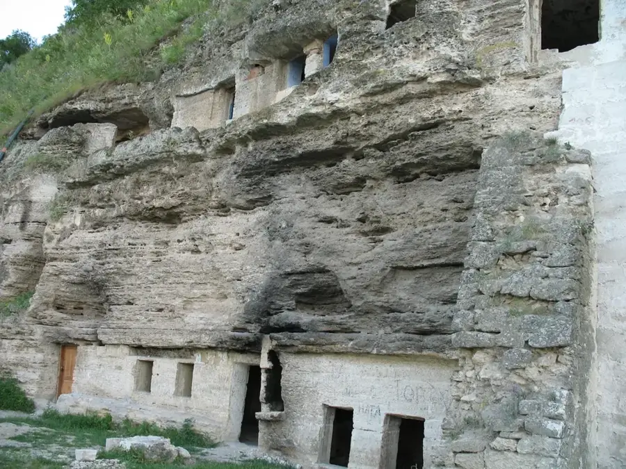
The Rezina Hills are located in the northeastern part of the Republic of Moldova, serving as a prominent geological formation within the Dniester Plateau. This region is best known for its deeply incised river valleys and impressive limestone outcrops, which have been shaped by the gradual erosion of Dniester's tributaries over millions of years. Geologically, the area is built upon Miocene sedimentary deposits, leading to the creation of numerous cave systems and intriguing karst phenomena that attract both researchers and hikers. The nearby historical rock-hewn monasteries of Saharna and Tipova are vital spiritual centers, offering profound insights into the region's medieval architecture and heritage. The landscape is characterized by a harmonious blend of forest-steppe vegetation and fertile agricultural lands, where viticulture has a long and celebrated history. Averaging an elevation of about 250 meters, these hills provide sweeping views over the vast Dniester lowlands and represent a key component of the country's ecological and protected network.
- Location: Moldova
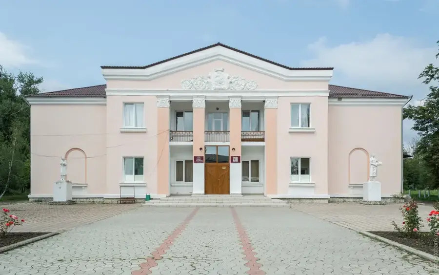
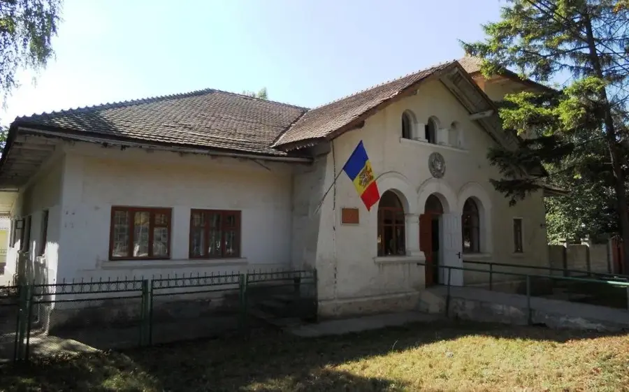
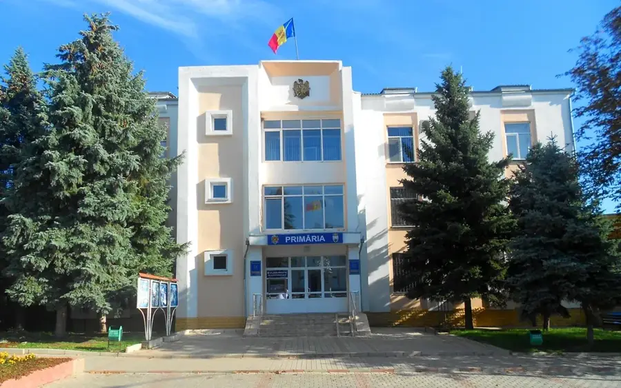
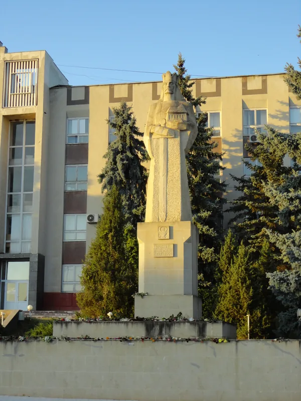
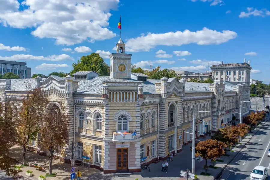
- Top sights: Casa de Creație Rezina · Cimitir vechi evreesc
- Nearby: Șoldănești (15 km)
Best time to visit & climate
The most pleasant time to visit is Jun–Aug.
| Jan | Feb | Mar | Apr | May | Jun | Jul | Aug | Sep | Oct | Nov | Dec | |
|---|---|---|---|---|---|---|---|---|---|---|---|---|
| Avg °C | -4 | -2 | 4 | 10 | 17 | 21 | 23 | 23 | 17 | 10 | 4 | -2 |
| Rain mm | 40 | 33 | 37 | 38 | 53 | 69 | 60 | 37 | 41 | 44 | 40 | 38 |
📋 Practical info
Geography
Facts
- The highest peaks in the region reach approximately 250-300 meters.
- These hills are a sub-unit of the larger Dniester Plateau system.
- The Saharna rock monastery was officially established in 1776.
- Tipova is ranked among the largest cave monasteries in SE Europe.
- The limestone foundations date back to the prehistoric Sarmatian Sea.
- The region is highly valued for its traditional viticulture and orchards.
Explore nearby
Notable places around
Route planner — Car & Motorhome
Where do you start? We build the route here, with stops and country notes along the way.
© OpenStreetMap contributors · OpenRouteService
Sights in the town Rezina Hills (2)
Sights nearby
Frequently asked questions
What makes the Rezina Hills attractive to tourists?
Are there waterfalls in the region?
Is the terrain steep?
How much time should be planned for Saharna?
Are the monasteries open year-round?
Rezina Hills: where is it located?
Rezina Hills: what is there to see?
Rezina Hills: when is the best time to visit?
Rezina Hills: why is it worth visiting?

Nearby cities
History & landmarks

Nature
More places