Plizio Visual Lab
Tidjikja Valley

Weather…
Water temperature…
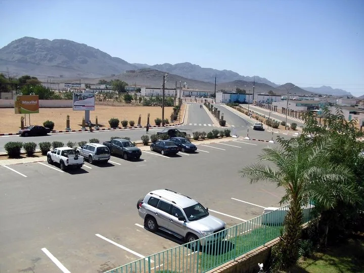
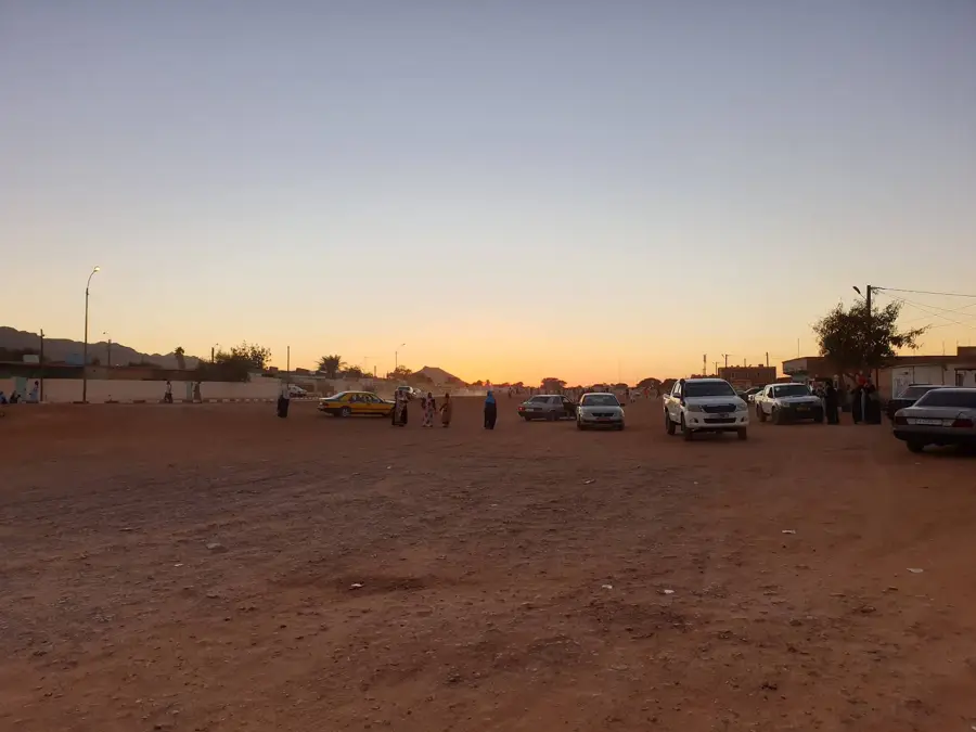
The Tidjikja Valley, positioned within the rugged Tagant Plateau of central Mauritania, is a vital green artery in the midst of a vast rocky desert. Founded in 1680 by the Idawali tribes, the settlement of Tidjikja flourished as a key junction for trans-Saharan caravan trade for centuries. The valley owes its existence to significant groundwater resources that sustain lush palm groves, creating a stark visual contrast against the surrounding sun-scorched cliffs. Date cultivation is the lifeblood of the local economy, with the region's produce being highly sought after across the country. The area is also notable for its traditional stone architecture, which has remained largely unchanged, offering a glimpse into historic desert life. For travelers, the valley provides a unique opportunity to explore the geological wonders of the Tagant massif while experiencing the enduring cultural traditions of a Saharan oasis.
- Location: Mauritania
- Nearby: Tidjikja (7 km)
Best time to visit & climate
The most pleasant time to visit is Jan, Feb, Dec.
| Jan | Feb | Mar | Apr | May | Jun | Jul | Aug | Sep | Oct | Nov | Dec | |
|---|---|---|---|---|---|---|---|---|---|---|---|---|
| Avg °C | 18 | 21 | 25 | 29 | 32 | 34 | 33 | 31 | 31 | 29 | 24 | 20 |
| Rain mm | 1 | 1 | 7 | 1 | 1 | 5 | 24 | 64 | 35 | 31 | 1 | 0 |
📋 Practical info
Geography
Facts
- The town of Tidjikja was founded in 1660
- The valley is home to over 50,000 date palms
- It lies at an altitude of approximately 380 meters above sea level
- The region is a center of Mauritanian date production
- The climate is characterized by extreme temperature fluctuations
- Prehistoric rock paintings are located in the vicinity
Explore nearby
Notable places around
Route planner — Car & Motorhome
Where do you start? We build the route here, with stops and country notes along the way.
© OpenStreetMap contributors · OpenRouteService
Sights nearby
Frequently asked questions
What makes the Tidjikja Valley attractive?
Are there shopping facilities there?
What is the best way to travel?
Is the water drinkable?
What is the culture of the region?
Tidjikja Valley: where is it located?
Tidjikja Valley: when is the best time to visit?
Tidjikja Valley: why is it worth visiting?

Nearby cities