Plizio Visual Lab
Tagant Caves
Weather…
Water temperature…
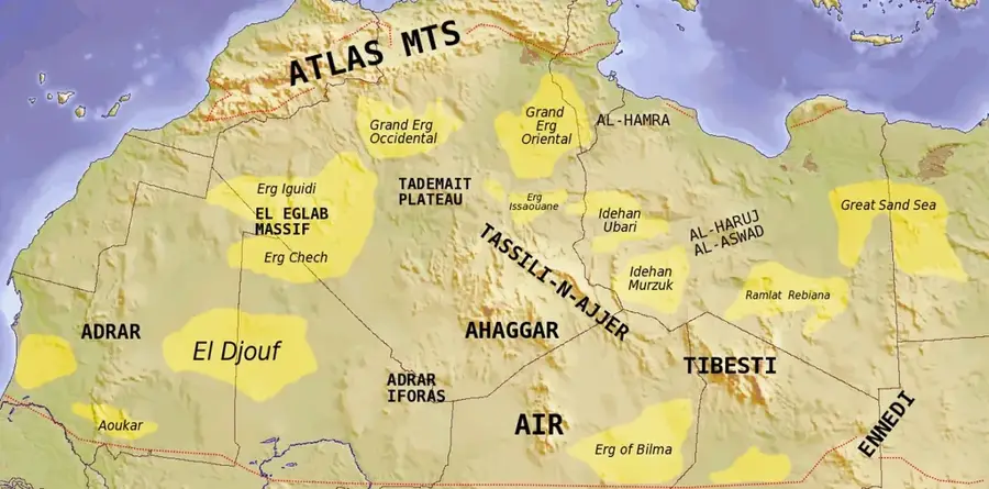
The Tagant region in Mauritania is a significant archaeological area, primarily known for its prehistoric caves and rock shelters. During an epoch when the Sahara was a significantly wetter and greener landscape, these caves provided early human settlers with vital protection from the elements and wild predators. The walls of many of these caves are decorated with rock paintings and engravings depicting hunting scenes, wildlife, and various symbols, allowing for valuable insights into the daily lives and spirituality of the inhabitants of that time. These archaeological traces provide evidence of continuous settlement over millennia. For scientists, the region is a crucial field of Saharan research, as it documents the transition from hunter-gatherer cultures to more sedentary lifestyles. Although accessing some of these remote sites can be challenging, the sight of prehistoric artworks set against the stark, monumental landscape of the Tagant Plateau is an unforgettable experience for any history enthusiast.
- Location: Mauritania
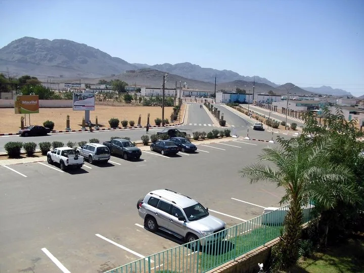
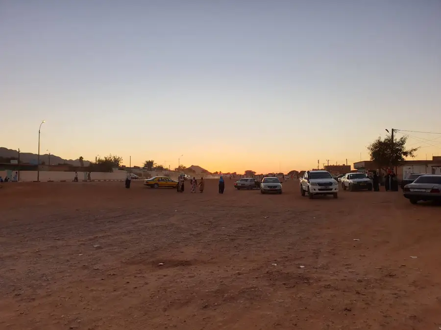
- Nearby: Tidjikja (10 km)
Best time to visit & climate
The most pleasant time to visit is Jan, Feb, Dec.
| Jan | Feb | Mar | Apr | May | Jun | Jul | Aug | Sep | Oct | Nov | Dec | |
|---|---|---|---|---|---|---|---|---|---|---|---|---|
| Avg °C | 18 | 21 | 25 | 29 | 32 | 34 | 33 | 31 | 31 | 29 | 24 | 20 |
| Rain mm | 1 | 1 | 7 | 1 | 1 | 5 | 24 | 64 | 35 | 31 | 1 | 0 |
📋 Practical info
Geography
Facts
- Limestone formed in Jurassic period (150 million years ago)
- Longest cave: 50 meters
- Height of largest cave: 20 meters
- Rock paintings dating 4000-2000 BCE
- National heritage site since 2005
- Over 200 identified figures
Explore nearby
Notable places around
Route planner — Car & Motorhome
Where do you start? We build the route here, with stops and country notes along the way.
© OpenStreetMap contributors · OpenRouteService
Sights nearby
Frequently asked questions
Do I need a guide?
Are there camping options?
What gear is needed?
What is the trail to the caves like?
Are there animals nearby?
Tagant Caves: where is it located?
Tagant Caves: when is the best time to visit?
Tagant Caves: why is it worth visiting?

Nearby cities