Plizio Visual Lab
Haard
Weather…
Water temperature…
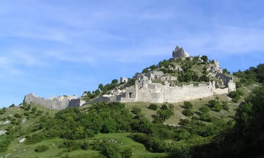
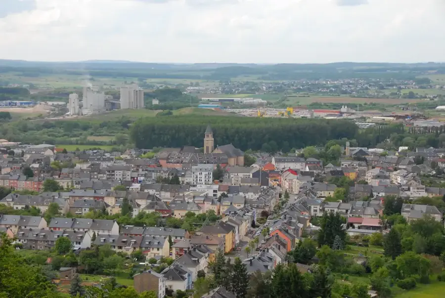
The Haard nature reserve covers 198 hectares near Dudelange and is part of the former "Giele Botter" open-cast mining area. It is famous for its characteristic red soil, resulting from high iron ore deposits in the Minette region. Since the cessation of mining activities in the 1960s, a unique variety of flora and fauna has developed on the dry, calcareous soil. Hiking trails traverse dense forests and pass steep rock faces that reveal the geological layers of the former mining sites. The area is integrated into the European Natura 2000 network and serves as a vital refuge for endangered species such as the blue-winged grasshopper. The successful transformation from an industrial site into an ecological hotspot makes it a significant site for research and recreation in southern Luxembourg.
- Location: Luxembourg
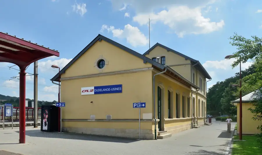
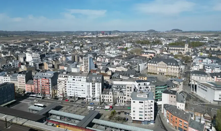
- Top sights: Dudelange Radio Tower · Eligiuskapell · Centre Culturel Régional Dudelange "opderschmelz"
- Nearby: Kayl (5 km)
Best time to visit & climate
The most pleasant time to visit is Jun–Aug.
| Jan | Feb | Mar | Apr | May | Jun | Jul | Aug | Sep | Oct | Nov | Dec | |
|---|---|---|---|---|---|---|---|---|---|---|---|---|
| Avg °C | 1 | 1 | 5 | 9 | 13 | 17 | 19 | 19 | 15 | 10 | 5 | 2 |
| Rain mm | 67 | 57 | 57 | 46 | 70 | 68 | 65 | 72 | 56 | 65 | 68 | 79 |
📋 Practical info
Geography
Facts
- Covers an area of approximately 198 hectares in southern Luxembourg.
- Part of the former iron ore mining region known as the Minette.
- Officially designated as a nature reserve in 1994.
- Included in the European Natura 2000 conservation network.
- Home to over 15 different species of orchids on calcareous soil.
- Hiking trails pass through former open-cast mining terraces.
Explore nearby
Notable places around
Route planner — Car & Motorhome
Where do you start? We build the route here, with stops and country notes along the way.
© OpenStreetMap contributors · OpenRouteService
Sights in the town Haard (10)
Centre National de l'Audiovisuel (CNA)
Art museum in Luxembourg, focusing on audiovisual works.
Pomhouse🏛 museum
Local history museum in Dudelange.
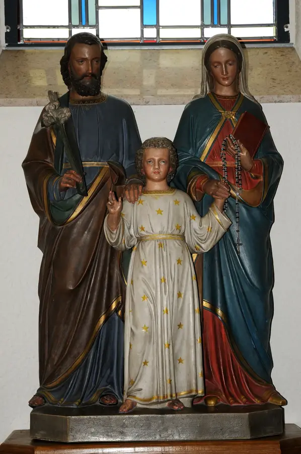
Saint-Martin
Church in Dudelange, dedicated to Saint Martin.
Centre de documentation sur les migrations humaines🏛 museum
Documentation centre on human migration in Dudelange.
Piscine Plein-Air Dudelange
Outdoor swimming pool in Dudelange with pools and sunbathing areas.
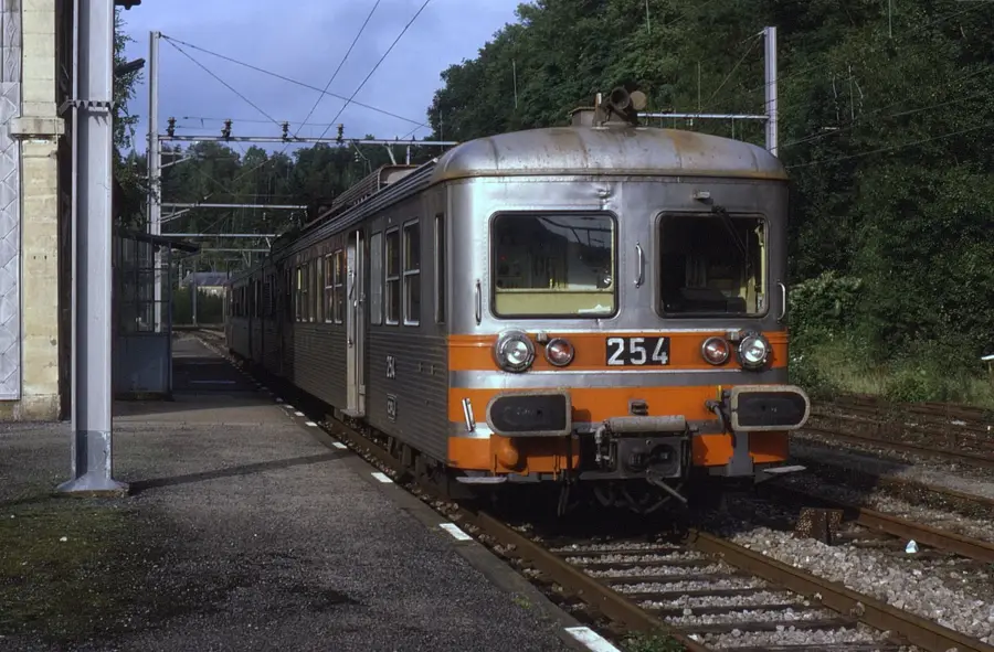
Gewerkschaft Jünkerath n°11
Wagon for transporting molten metal or slag, displayed in Dudelange.
Sights nearby
Frequently asked questions
What is the Haard nature reserve?
Are there still traces of mining?
Can you go hiking there?
Which animals live there?
Is it part of the Minett Trail?
Haard: where is it located?
Haard: what is there to see?
Haard: when is the best time to visit?
Haard: why is it worth visiting?

Nearby cities

History & landmarks
Nature
More places