Plizio Visual Lab
Kneiff
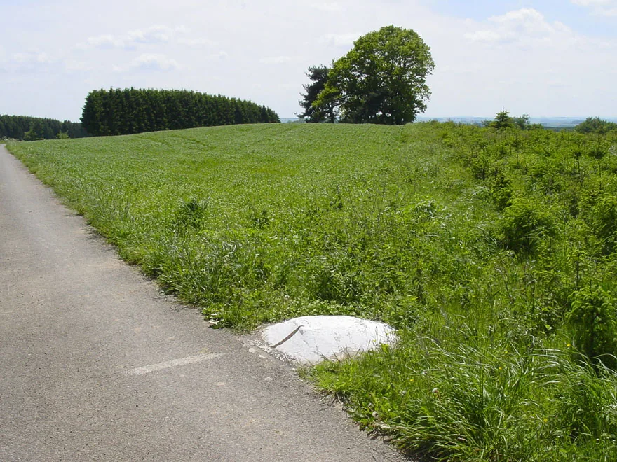
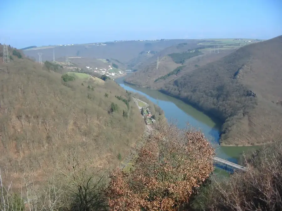
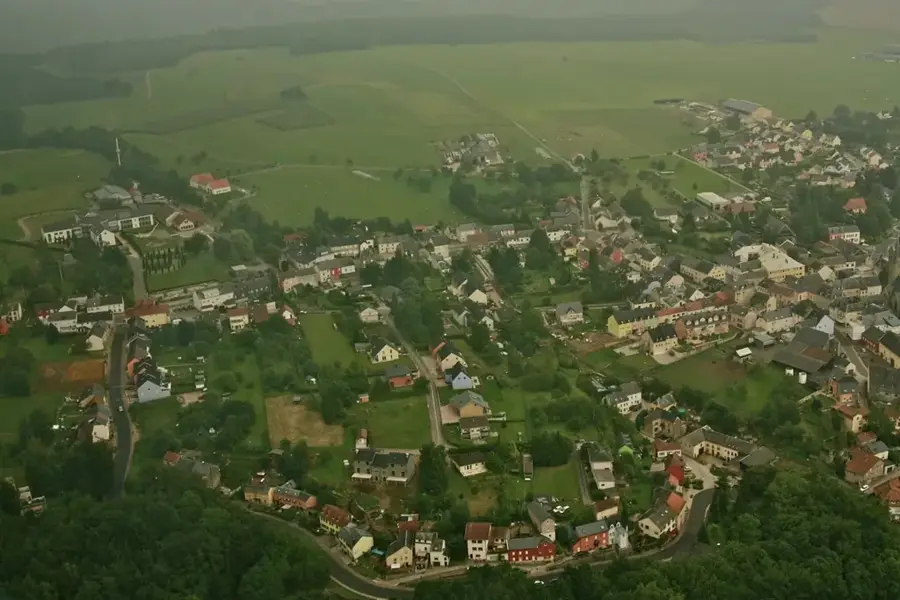
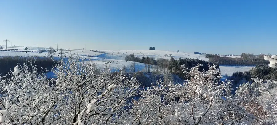
Kneiff is the highest point in the Grand Duchy of Luxembourg, with an altitude of 560.08 meters above sea level. It is located in the north of the country in the municipality of Troisvierges (Ulflingen), near the village of Wilwerdange and close to the tripoint with Belgium and Germany. Geomorphologically, Kneiff lies in the Ösling, the Luxembourgish part of the Ardennes, characterized by Lower Devonian slate and sandstone formations. Unlike the nearby Buurgplaatz, which was long erroneously considered the highest point, Kneiff is a relatively flat, plateau-like crest set amidst agricultural land. A white mark on the pavement of a side road identifies the exact geographical summit. The surroundings are characterized by wide views over the Ardennes plateau, where the climate is significantly cooler and wetter than in the south of the country. The site serves as an important geodetic reference point for national surveying and is easily accessible via the Vennbahn cycling path.
- Location: Luxembourg
- Top sights: Kneiff - Highest Point of Luxembourg · Kneiff · Burrigplatz
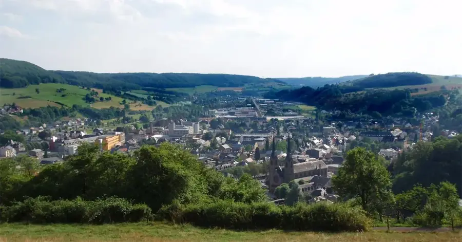
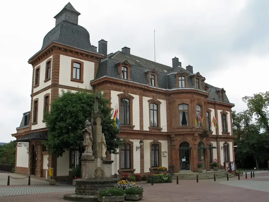
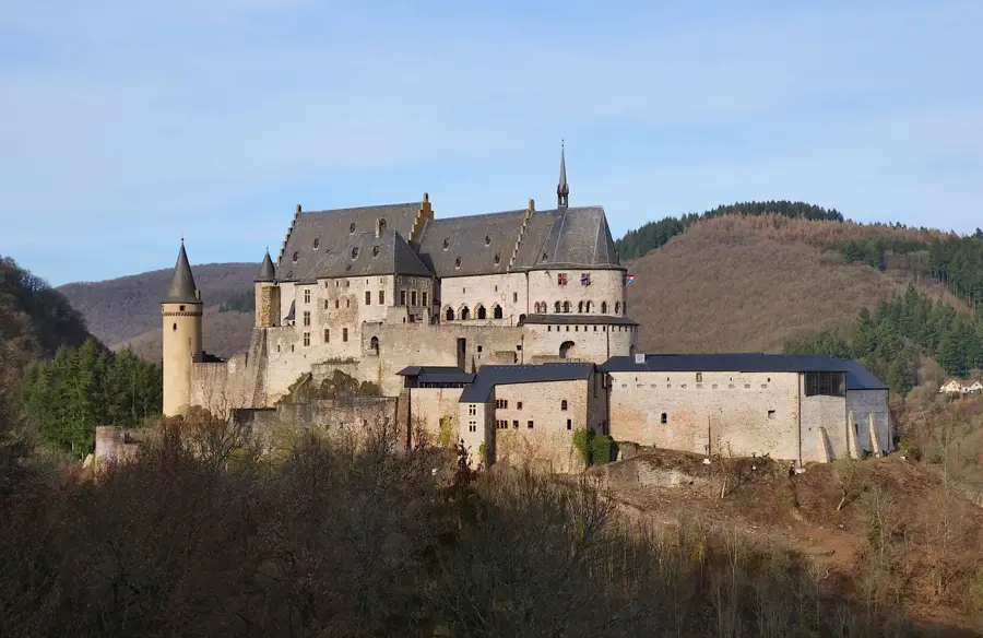
- Nearby: Wiltz (22 km)
Best time to visit & climate
The most pleasant time to visit is Jun–Aug.
| Jan | Feb | Mar | Apr | May | Jun | Jul | Aug | Sep | Oct | Nov | Dec | |
|---|---|---|---|---|---|---|---|---|---|---|---|---|
| Avg °C | 0 | 1 | 4 | 8 | 12 | 16 | 18 | 17 | 14 | 9 | 5 | 1 |
| Rain mm | 75 | 64 | 63 | 49 | 75 | 75 | 74 | 81 | 59 | 67 | 72 | 84 |
📋 Practical info
Geography
Facts
- The official altitude of Kneiff is 560.08 meters.
- It surpasses Buurgplaatz by exactly 1.73 meters.
- The summit is located on the N12 road between Wilwerdingen and Wemperhardt.
- Geologically, the elevation belongs to the Devonian massif of the Ardennes.
- The point was confirmed as the highest only through modern laser scanning measurements.
- A white dot on the road marks the exact summit position.
Explore nearby
Notable places around
Route planner — Car & Motorhome
Where do you start? We build the route here, with stops and country notes along the way.
© OpenStreetMap contributors · OpenRouteService
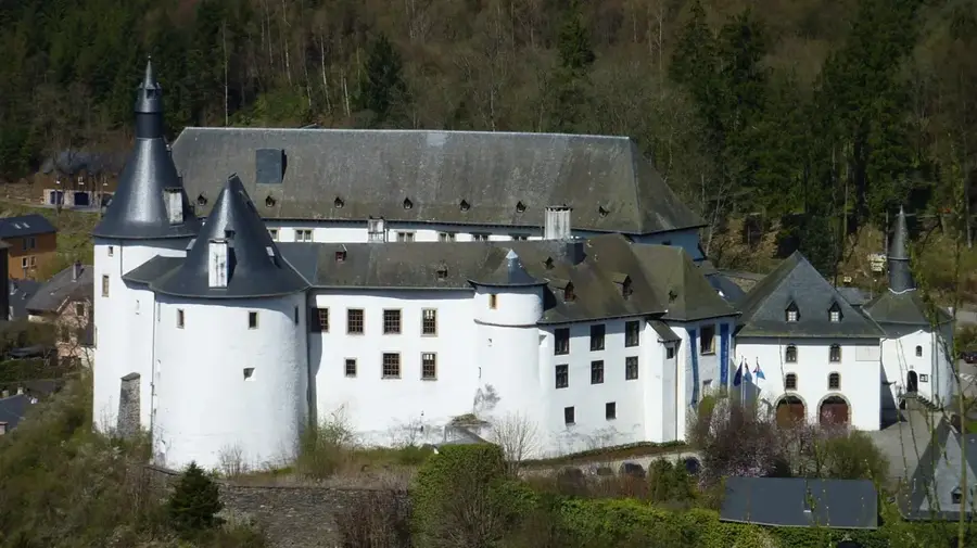
Sights in the town Kneiff (10)
Conzefenn
Nature reserve with bog and forest areas.
Halbgruppenunderstand 1945
Archaeological site of a 1945 military shelter.
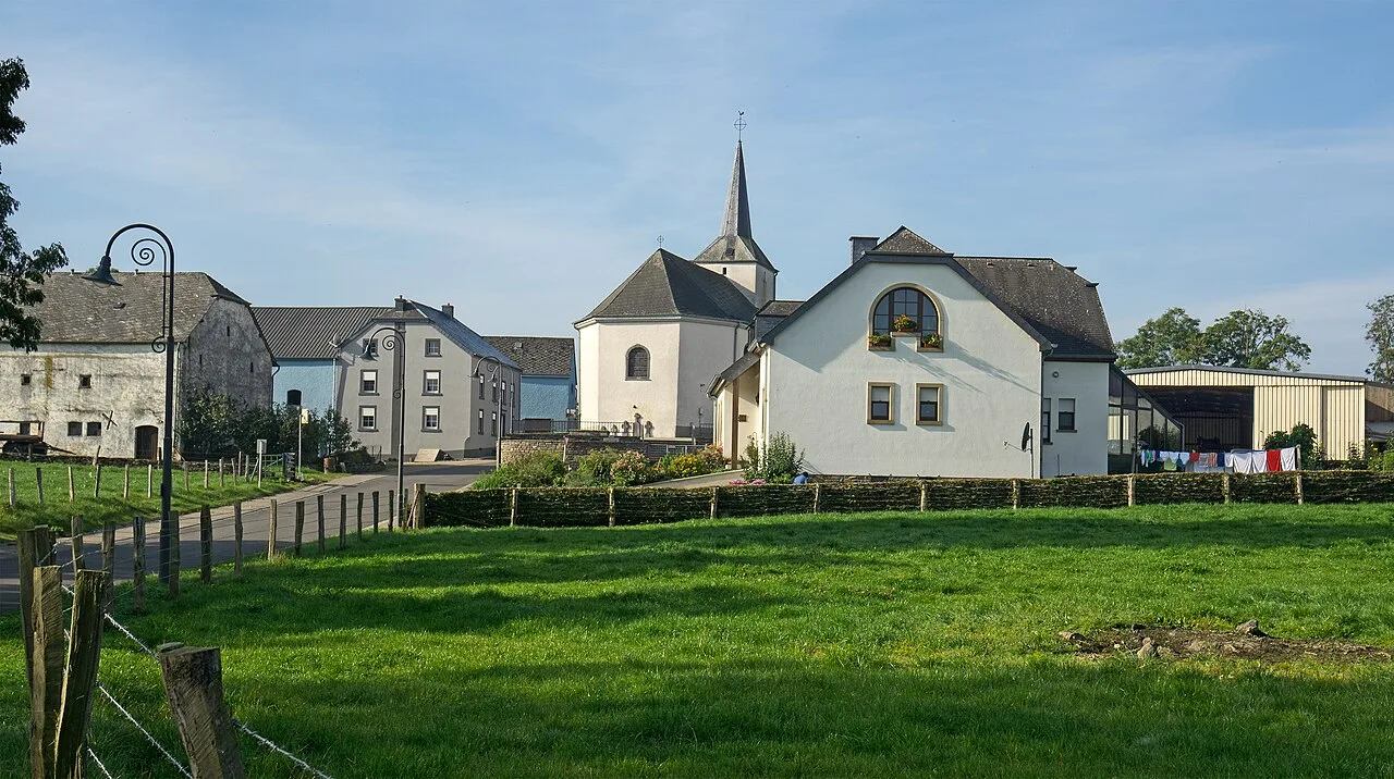
Jousefskierch
Church in Huldange, Luxembourg.
Cosmas an Damianuskapell
Church in Goedange, Luxembourg.
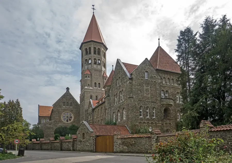
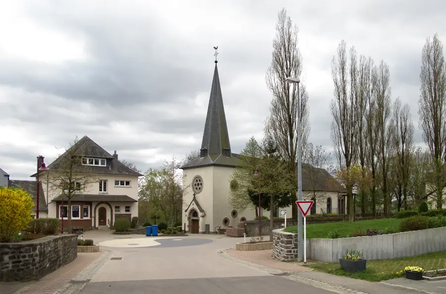
Saint-Lambert
Church in Wilwerdange, Luxembourg.
Cornelysmillen - Schucklai
Nature reserve with wetlands and forests.
Sights nearby
Frequently asked questions
Is Kneiff the highest point in Luxembourg?
Where exactly is Kneiff located?
Is there a viewing tower there?
Can you drive directly there by car?
How does it differ from Buurgplaatz?
Kneiff: where is it located?
Kneiff: what is there to see?
Kneiff: when is the best time to visit?
Kneiff: why is it worth visiting?

Nearby cities

History & landmarks
Nature
More places