Plizio Visual Lab
Giele Botter
Weather…
Water temperature…
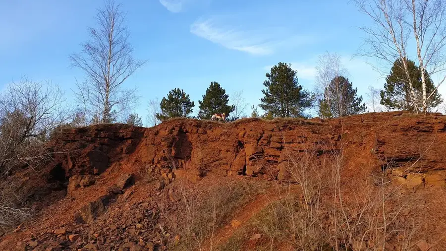
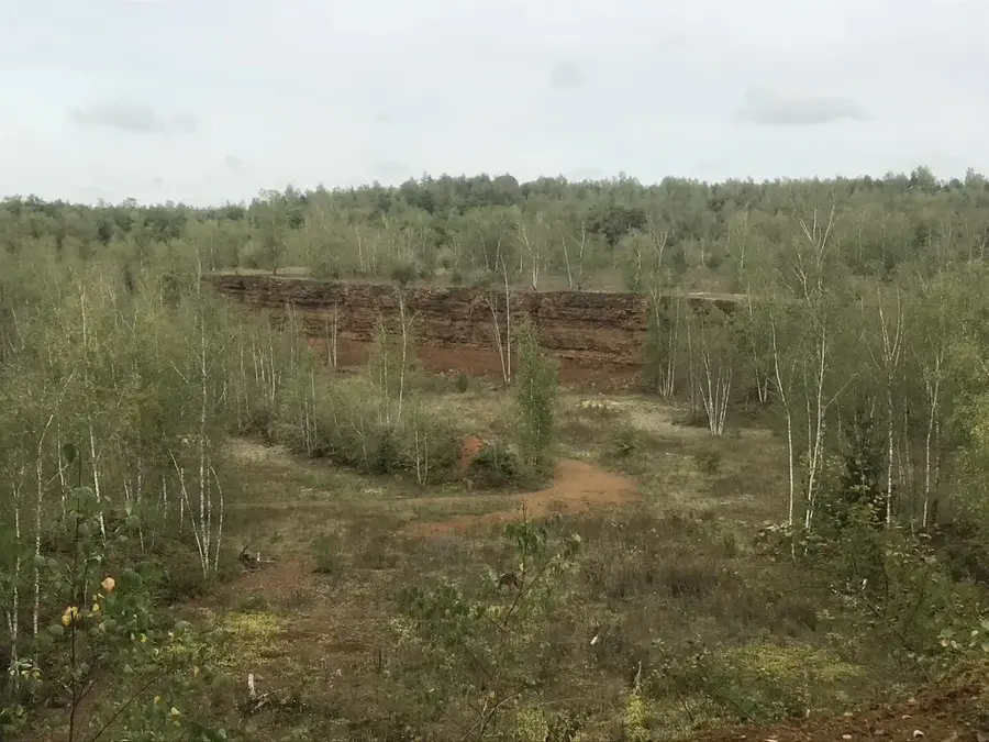
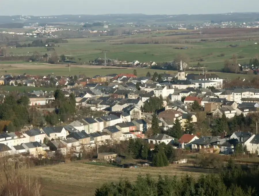
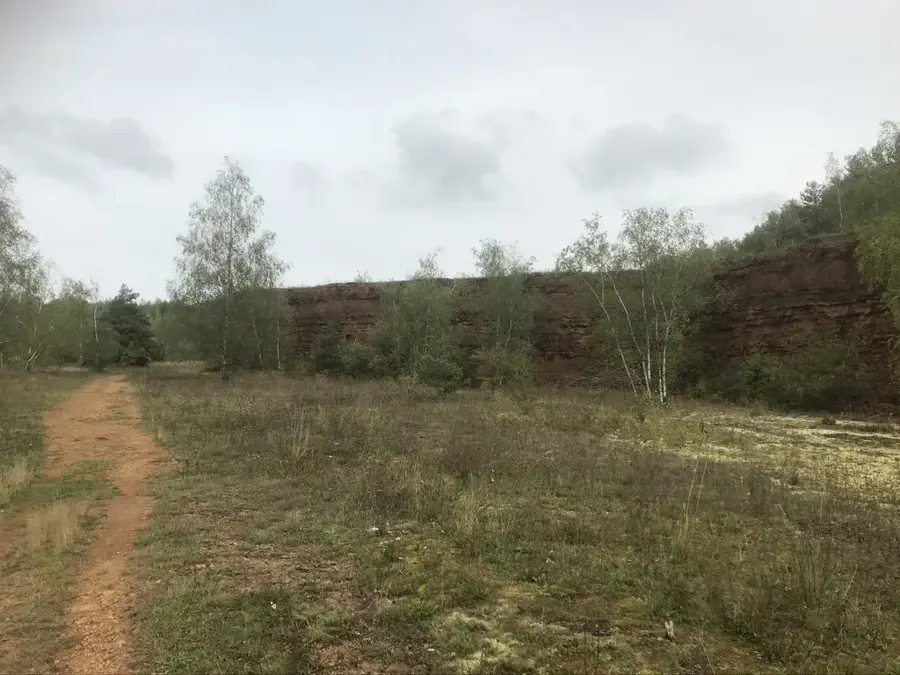
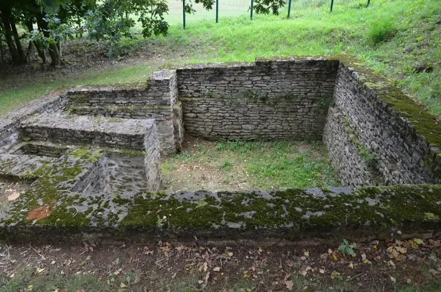
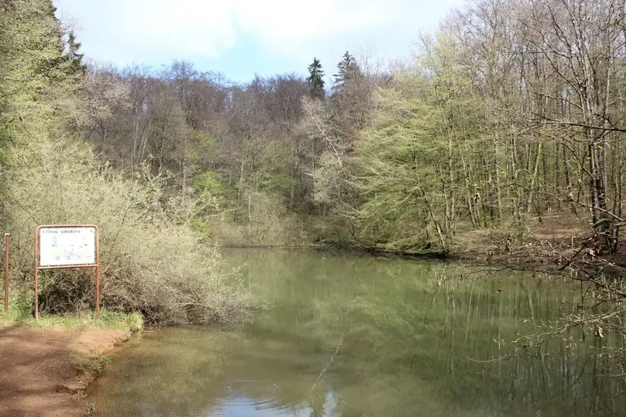
The Giele Botter nature reserve is a former open-cast mining area in southwestern Luxembourg, serving today as an impressive example of nature's reclamation. The name means 'Yellow Butter' in the local dialect, referring to the color of the iron-bearing rock that was mined here for decades. After mining ceased in 1977, the approximately 100-hectare area evolved into a valuable biotope with enormous biodiversity. The terraced landscape still recalls the extraction of minette ores, which laid the foundation for Luxembourg's prosperity. Today, rare orchid species, amphibians in the resulting ponds, and a variety of protected bird species can be found here. A marked educational trail leads visitors through various stages of vegetation succession and features views of the red rock walls characteristic of the Terres Rouges region. Giele Botter has been under nature protection since 1991 and is part of the European Natura 2000 network. It is a place of silence that connects the country's industrial past with a new, wild nature.
- Location: Luxembourg
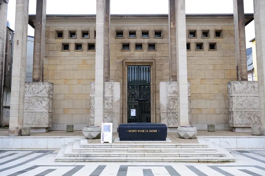
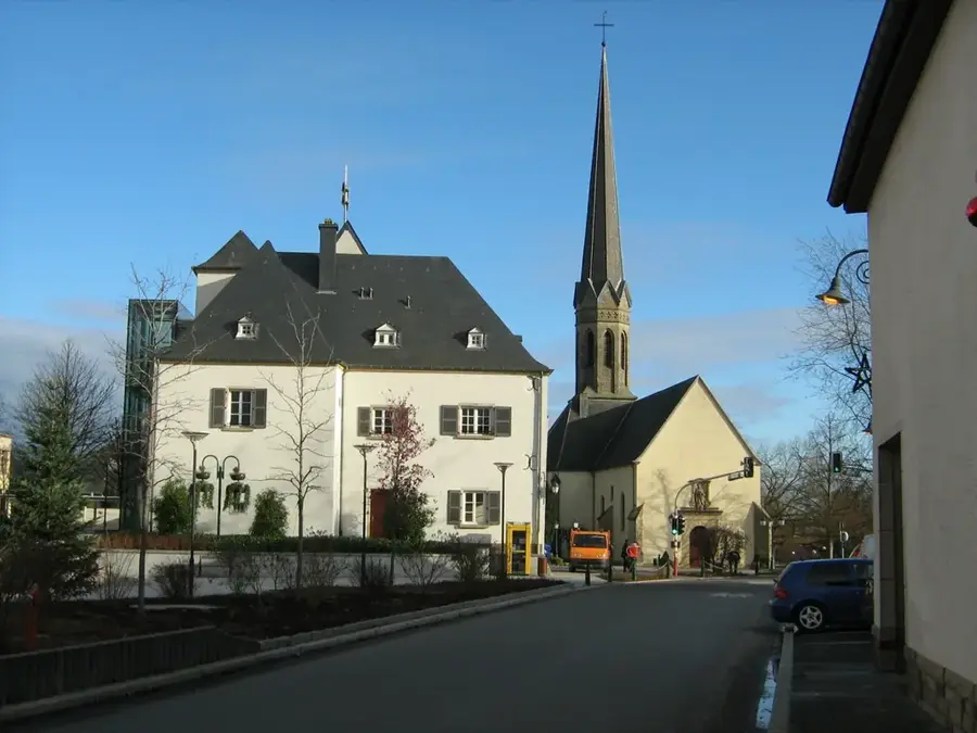
- Top sights: Rocky Spot · Église Saint-Brice · Viaduc de Thil
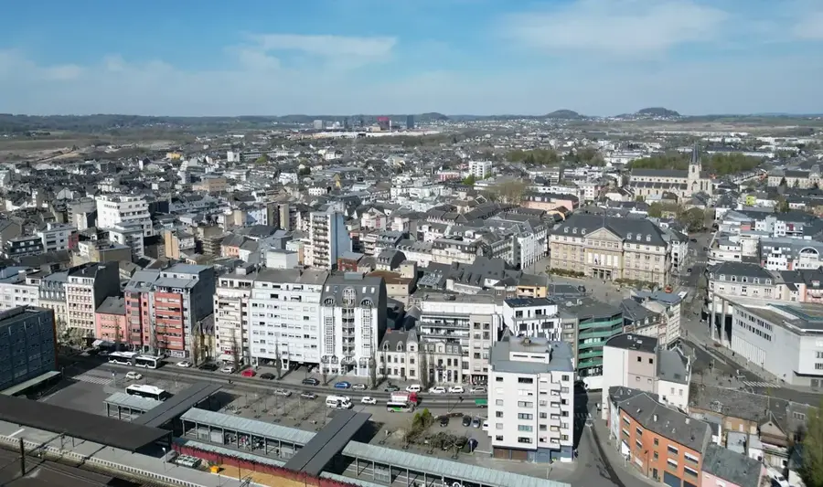
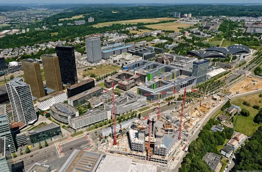
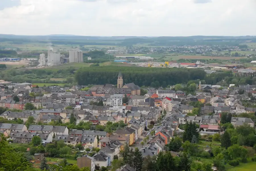
- Nearby: Esch-sur-Alzette (6 km)
Best time to visit & climate
The most pleasant time to visit is Jun–Aug.
| Jan | Feb | Mar | Apr | May | Jun | Jul | Aug | Sep | Oct | Nov | Dec | |
|---|---|---|---|---|---|---|---|---|---|---|---|---|
| Avg °C | 1 | 1 | 5 | 9 | 13 | 17 | 19 | 19 | 15 | 10 | 5 | 2 |
| Rain mm | 67 | 57 | 57 | 46 | 70 | 68 | 65 | 72 | 56 | 65 | 68 | 79 |
📋 Practical info
Geography
Facts
- Open-cast mining at Giele Botter was permanently ceased in 1977.
- The nature reserve covers an area of approximately 100 hectares.
- Giele Botter literally means 'Yellow Butter' in Luxembourgish.
- The area was officially placed under nature protection in 1991.
- It belongs to the UNESCO Biosphere Reserve 'Minett', recognized in 2020.
- Over 30 different orchid species can be found within the area.
Explore nearby
Notable places around
Route planner — Car & Motorhome
Where do you start? We build the route here, with stops and country notes along the way.
© OpenStreetMap contributors · OpenRouteService
Sights in the town Giele Botter (10)
Église de l'Assomption
Church in Meurthe-et-Moselle, France, dedicated to the Assumption.
Église de la Nativité-de-la-Vierge
Church in Meurthe-et-Moselle, France, dedicated to the Nativity of the Virgin.
Rattem
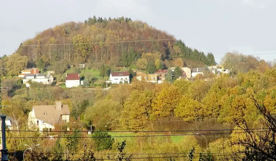
Mountain peak in the region, a prominent landscape feature.
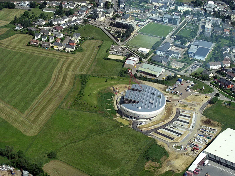
Espace H2O
Cultural centre with event spaces and exhibitions.
Piscine ouverte d'Oberkorn
Open-air swimming pool in Oberkorn, with pools and sunbathing areas.
Gaalgebierg
Mountain peak, viewpoint over the surroundings.
Sights nearby
Frequently asked questions
What is Giele Botter today?
What hiking trails are there?
Can you still see the mining history?
Where is the best place to start the hike?
Do you need sturdy footwear?
Giele Botter: where is it located?
Giele Botter: what is there to see?
Giele Botter: when is the best time to visit?
Giele Botter: why is it worth visiting?

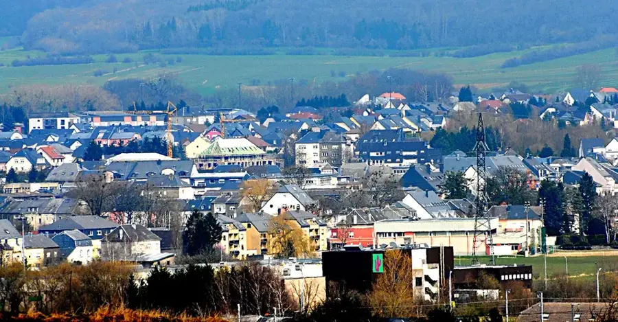
Nearby cities


History & landmarks
Nature
More places