Plizio Visual Lab
Jardas al Ahrar
ℹ️Practical info — Jardas al Ahrar
▾
🌤 Weather — 5 days
📍 Nearby
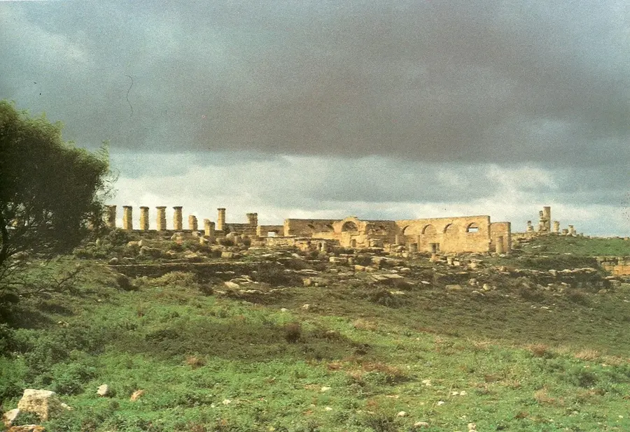
Sights nearby
💡 Tips
- This is a remote rural area; travel with a reliable 4x4 vehicle and a trusted local guide.
- Dress very conservatively to respect the traditional pastoral culture of the region.
- Tourism infrastructure is practically non-existent, so carry your own water and supplies.
- The vast grazing lands are best photographed during the golden hours of early morning.
🍽 Food
A traditional, hearty meal you might be offered if hosted by local farmers.
Strong, sweet black tea often served with peanuts or almonds.
A traditional barley dough dish served with rich tomato and mutton sauce in local homes.
🛍 Shopping · 🧘 Quiet spots
The economic hub where you can observe authentic rural trade.
Sometimes available directly from semi-nomadic farming families.
Peaceful panoramic views over the extensive grazing lands.
Experience the profound silence of the Libyan countryside.
Water temperature…
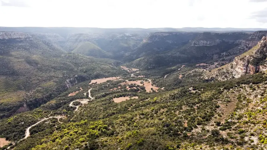
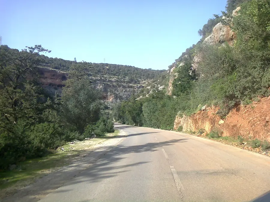
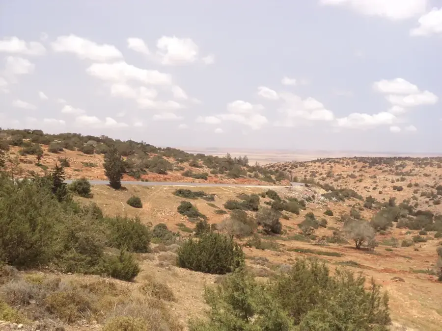
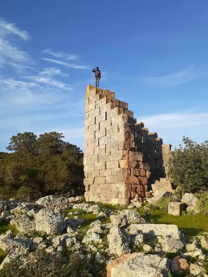
Jardas al Ahrar, formerly known as Jardas al Abid, is a town situated in the fertile Jebel Akhdar (Green Mountain) region of northeastern Libya. The town is positioned within a scenic mountainous landscape that enjoys a relatively mild and humid climate compared to the arid desert regions typical of Libya. Historically, this area was a bastion of resistance against Italian colonial rule, led by the national hero Omar al-Mukhtar, as the rugged terrain provided excellent cover for guerrilla tactics. Its renaming to Jardas al Ahrar (Jardas of the Free) following the 1969 revolution was intended to purge colonial-era nomenclature. The local economy is predominantly agricultural, centered on the cultivation of wheat, barley, and various fruits, along with extensive livestock grazing on the mountain plateaus. Geographically, it serves as an essential transit point and administrative center connecting the coastal settlements with the interior highland communities of Cyrenaica.
- Location: Libya
- Nearby: Marj (25 km)
- Population: ~6.744 (2023)
Best time to visit & climate
The most pleasant time to visit is May, Jun, Oct.
| Jan | Feb | Mar | Apr | May | Jun | Jul | Aug | Sep | Oct | Nov | Dec | |
|---|---|---|---|---|---|---|---|---|---|---|---|---|
| Avg °C | 11 | 11 | 14 | 17 | 21 | 24 | 26 | 26 | 25 | 21 | 16 | 13 |
| Rain mm | 56 | 55 | 31 | 11 | 10 | 3 | 0 | 1 | 11 | 35 | 38 | 92 |
Geography
Facts
- The town is located within the Al Jabal al Akhdar District of Libya.
- It sits at an approximate elevation of 300 meters above sea level.
- The area was a strategic stronghold during the anti-colonial resistance.
- This region receives some of the highest rainfall levels in the country.
- Its name was changed to 'Jardas of the Free' to celebrate independence.
- The town serves as a local market for mountain-grown crops and livestock.
Explore nearby
Notable places around
Route planner — Car & Motorhome
Where do you start? We build the route here, with stops and country notes along the way.
© OpenStreetMap contributors · OpenRouteService
Sights in the town Jardas al Ahrar (1)
Frequently asked questions
Where is Jardas al-Ahrar located?
What makes the region ecologically special?
What is grown here?
What is the weather like in spring?
Are there hiking possibilities there?
Jardas al Ahrar: where is it located?
Jardas al Ahrar: when is the best time to visit?
Jardas al Ahrar: why is it worth visiting?

Nearby cities
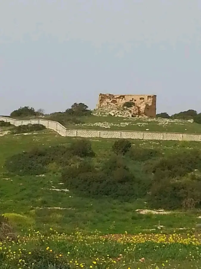

History & landmarks
Nature
More places