Plizio Visual Lab
Jebel Akhdar Highlands

Weather…
Water temperature…
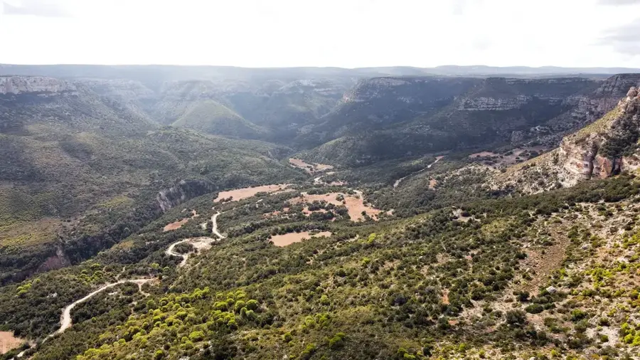
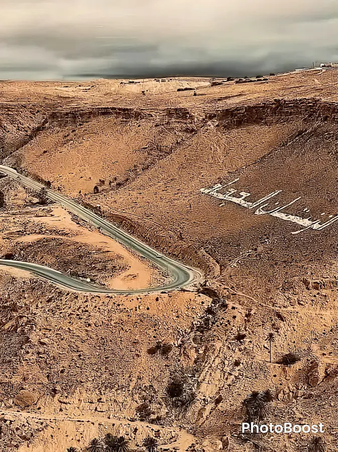
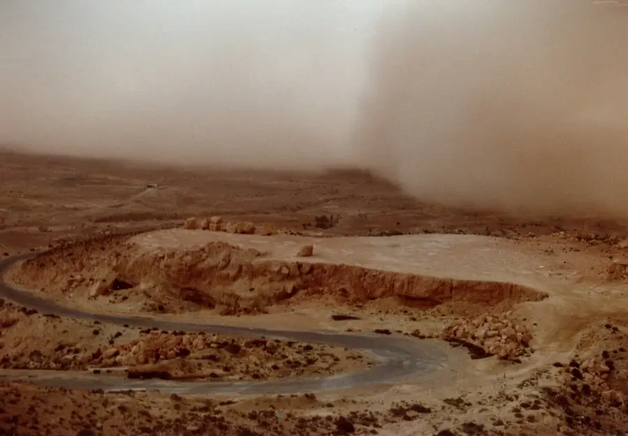
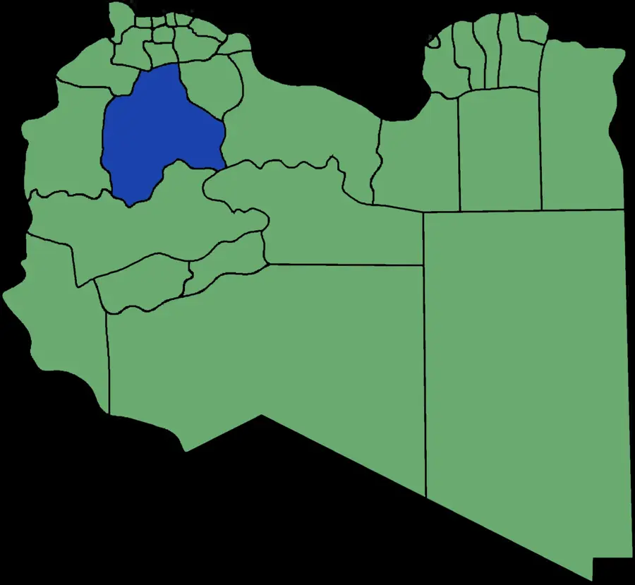
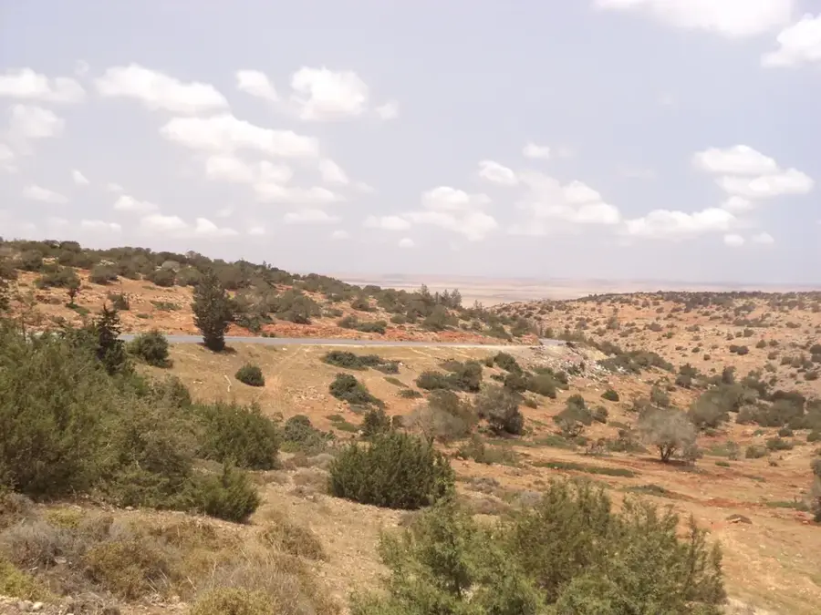
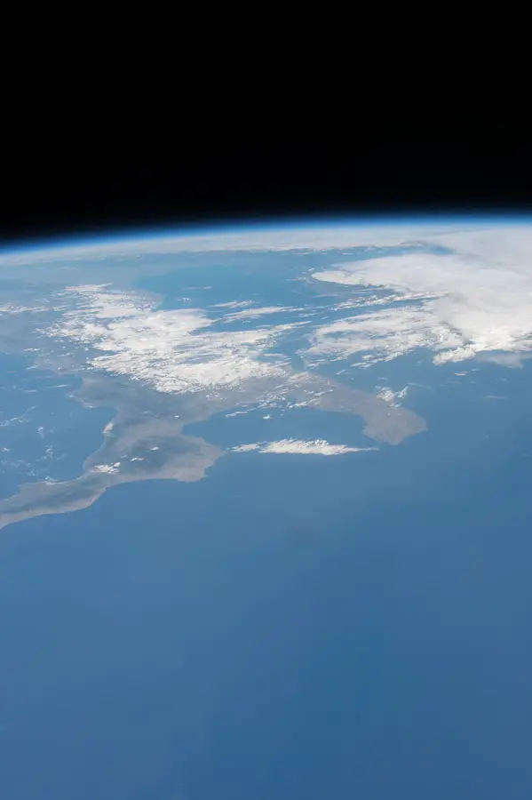
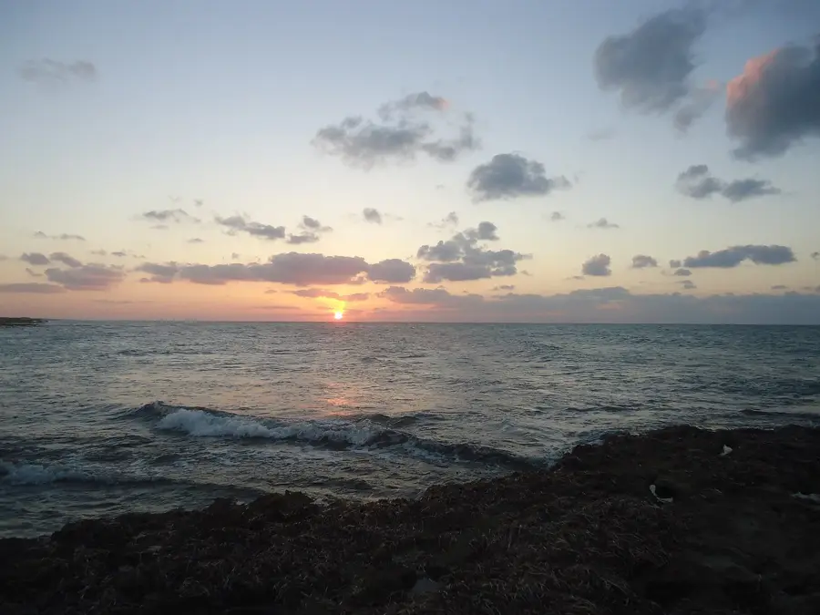
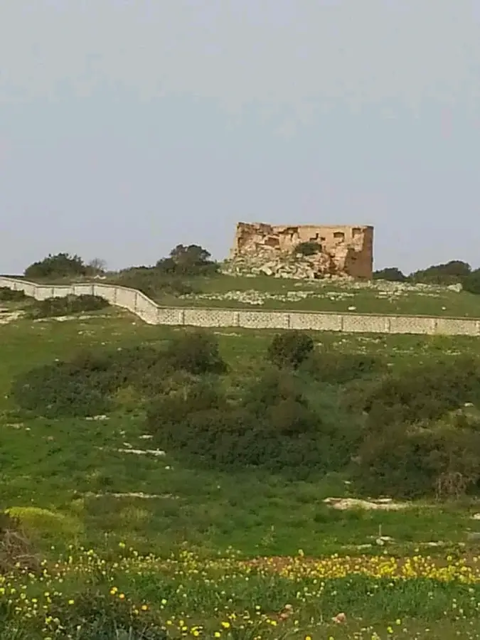
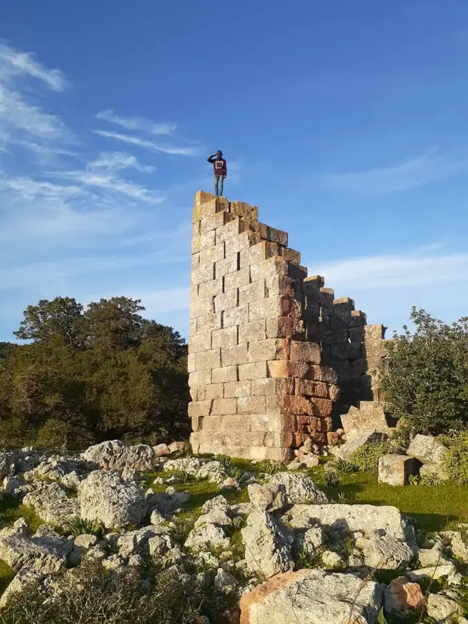
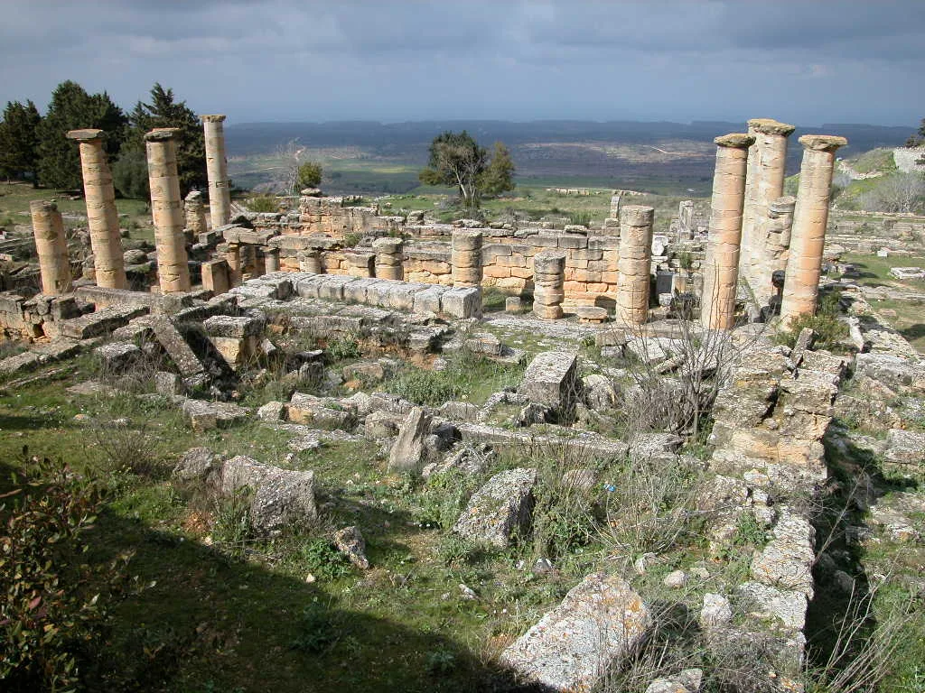
The Jebel Akhdar Highlands, also known as the "Green Mountain," are a prominent topographical feature in northeastern Libya, running parallel to the Mediterranean coast. Geomorphologically, the range consists of a broad limestone plateau that rises in successive tiers from the sea level to an elevation of approximately 880 meters. This unique physical structure traps moist Mediterranean air, resulting in the highest annual rainfall in Libya and supporting lush vegetation rare for the region. The landscape is characterized by deep wadis (dry valleys), steep escarpments, and extensive karst caves formed by millions of years of chemical weathering and erosion. This relief provides a secluded habitat for numerous endemic plant species and served as a strategic site for ancient Greek colonies like Cyrene. While the northern slopes are verdant and forested, the southern slopes transition gradually into arid steppes and eventually the Sahara Desert. The Jebel Akhdar massif acts as a vital ecological oasis and a significant watershed that dictates the regional climate and agricultural productivity.
- Location: Libya
- Nearby: Marj (27 km)
Best time to visit & climate
The most pleasant time to visit is May, Jun, Oct.
| Jan | Feb | Mar | Apr | May | Jun | Jul | Aug | Sep | Oct | Nov | Dec | |
|---|---|---|---|---|---|---|---|---|---|---|---|---|
| Avg °C | 11 | 11 | 14 | 17 | 21 | 24 | 26 | 26 | 25 | 21 | 16 | 13 |
| Rain mm | 56 | 55 | 31 | 11 | 10 | 3 | 0 | 1 | 11 | 35 | 38 | 92 |
📋 Practical info
Geography
Facts
- The highest peak of the Jebel Akhdar range stands at approximately 880 meters.
- The plateau is composed mainly of Tertiary limestone with significant karst features.
- The region receives up to 600 mm of annual rainfall, the highest in Libya.
- The landscape rises from the Mediterranean coast in two distinct geological steps.
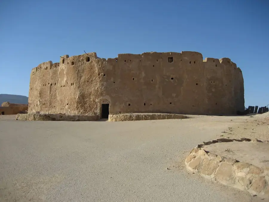
- The Haua Fteah cave is a world-famous site for studying human prehistory in Africa.
- The highlands function as a climatic barrier, trapping humidity from the sea.
Explore nearby
Notable places around
Route planner — Car & Motorhome
Where do you start? We build the route here, with stops and country notes along the way.
© OpenStreetMap contributors · OpenRouteService
Sights nearby
Frequently asked questions
Why is it called the 'Green Mountain'?
Can you see snow in winter?
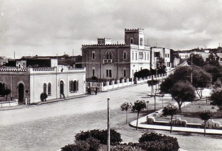
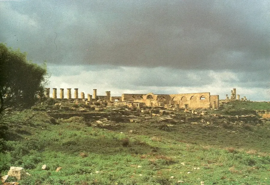
Which ancient site is located in these mountains?
Are there hiking trails?
How is the climate in summer?
Jebel Akhdar Highlands: where is it located?
Jebel Akhdar Highlands: when is the best time to visit?
Jebel Akhdar Highlands: why is it worth visiting?

Nearby cities

History & landmarks
Nature
More places