Plizio Visual Lab
Thabana Morena

Weather…
Water temperature…
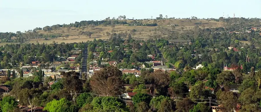
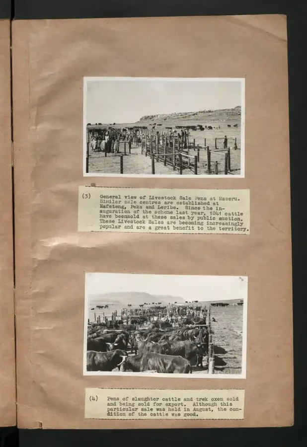
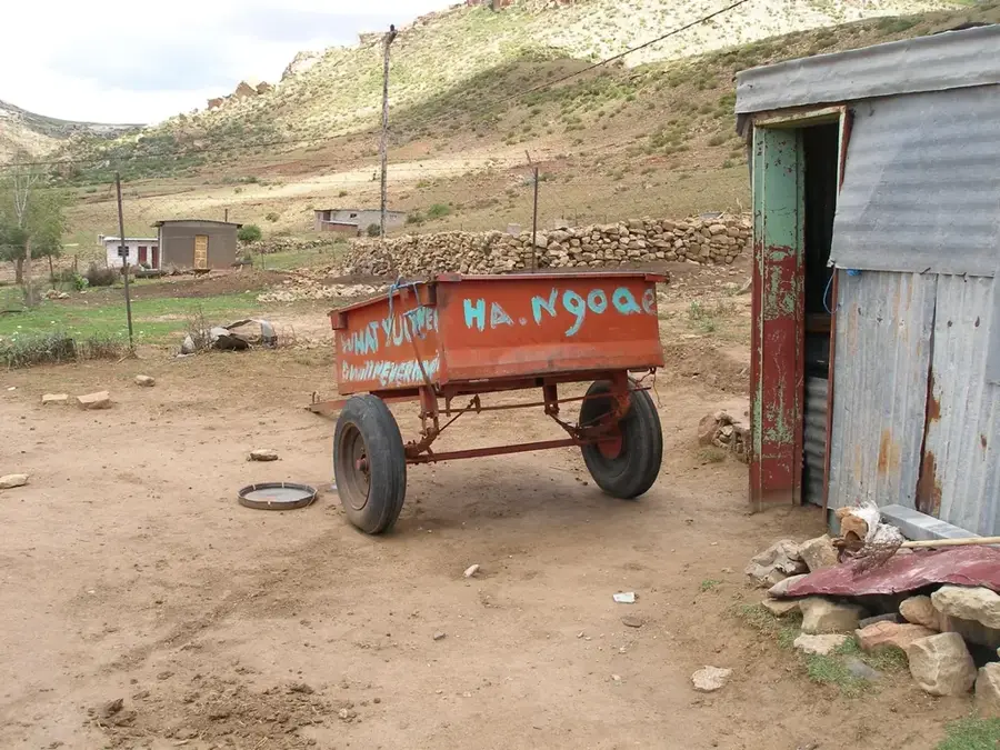
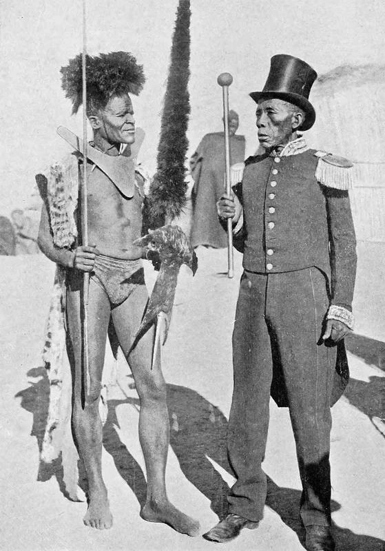
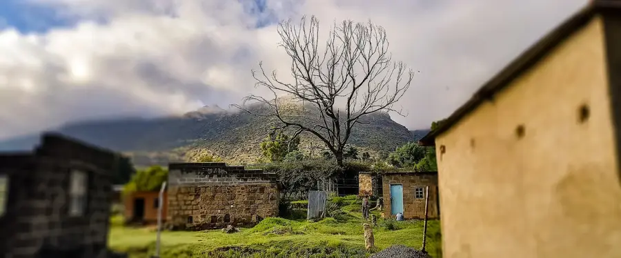
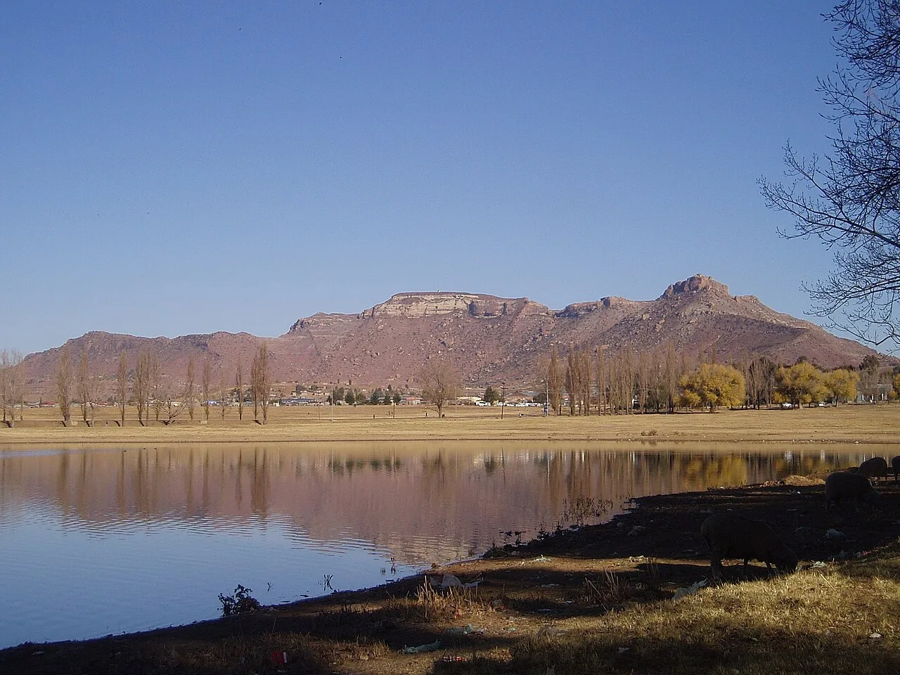
Thabana Morena, which translates to 'The Chief’s Mountain,' is a striking table mountain (mesa) located in the Mafeteng District of Lesotho. This geological feature is a classic example of the sandstone formations typical of the Southern African plateau, characterized by its flat top and sheer cliffs that rise abruptly from the surrounding plains. Historically, the mountain has served as an important gathering site and a natural fortress for the Basotho people during times of conflict and community consultation. The area surrounding Thabana Morena is a blend of traditional farmland and open range, where Basotho herders can often be seen with their livestock. For travelers, the trek to the summit provides not only a physical challenge but also a rewarding view of the Maloti Mountains to the east and the expansive plains stretching toward South Africa to the west. The mountain’s flat plateau is a place of serene beauty, often used for traditional ceremonies, reflecting the deep cultural roots and geological grandeur of the 'Kingdom in the Sky'.
- Location: Lesotho
- Nearby: Mafeteng (10 km)
Best time to visit & climate
The most pleasant time to visit is Jan, Feb, Dec.
| Jan | Feb | Mar | Apr | May | Jun | Jul | Aug | Sep | Oct | Nov | Dec | |
|---|---|---|---|---|---|---|---|---|---|---|---|---|
| Avg °C | 20 | 19 | 17 | 13 | 10 | 6 | 6 | 8 | 13 | 16 | 18 | 20 |
| Rain mm | 105 | 92 | 75 | 55 | 21 | 20 | 11 | 25 | 20 | 64 | 80 | 98 |
📋 Practical info
Geography
Facts
- Thabana Morena is 1,982 m (6,503 ft) high.
- It is located 20 km (12 mi) southeast of Maseru.
- The name means 'Mountain of the Chief' in Sesotho.
- Coordinates: 29°25' S, 27°40' E.
- The surrounding area averages about 1,600 m (5,249 ft) elevation.
- Population density in adjacent area is about 100 people per km².
Explore nearby
Notable places around
Route planner — Car & Motorhome
Where do you start? We build the route here, with stops and country notes along the way.
© OpenStreetMap contributors · OpenRouteService
Sights nearby
Frequently asked questions
What does the name Thabana Morena mean?
Where is this mountain located?
Are there historical attractions there?
Can Thabana Morena be easily climbed?
Are there water sources there?
Thabana Morena: where is it located?
Thabana Morena: when is the best time to visit?
Thabana Morena: why is it worth visiting?

Nearby cities
History & landmarks


Nature
More places