Plizio Visual Lab
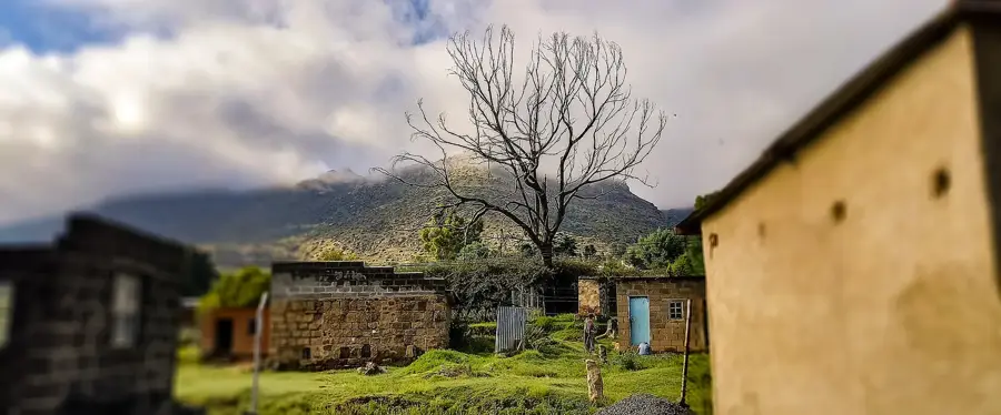
Hermon Ruins

Weather…
Water temperature…
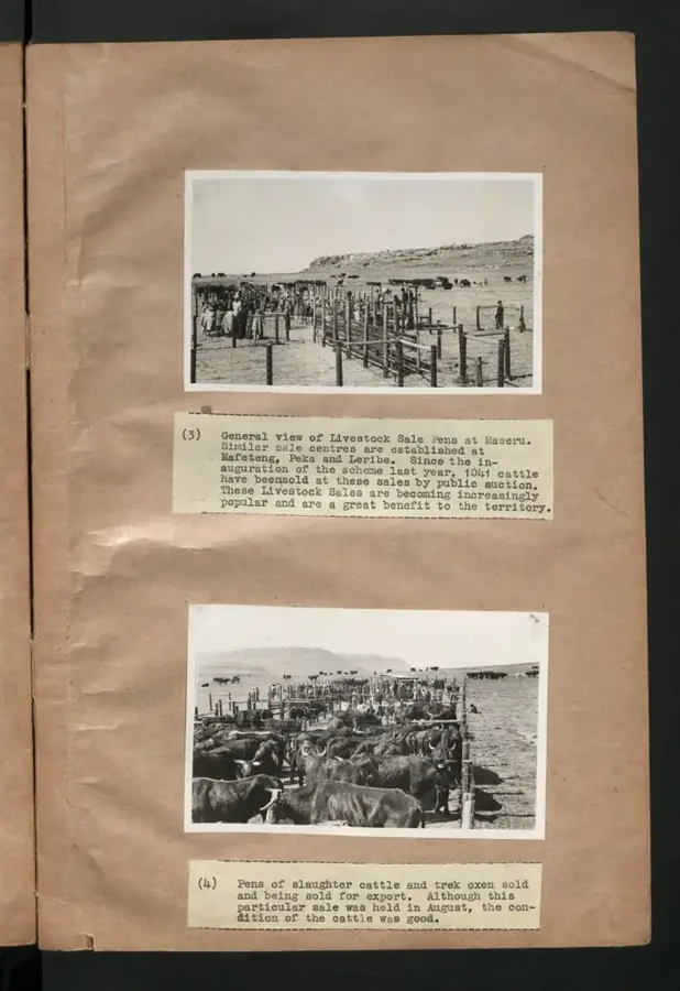
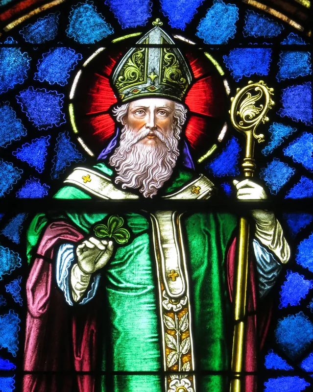
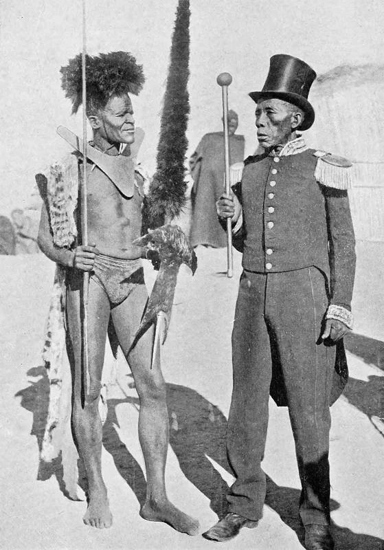
The Hermon Ruins are a poignant reminder of the early missionary expansion in Lesotho during the mid-19th century. Established in 1853 by the Paris Evangelical Missionary Society (PEMS), the station was strategically located near the Caledon River, which served as a vital but volatile frontier between the Basotho kingdom and neighboring territories. Under the guidance of missionaries like Samuel Rolland, Hermon briefly flourished as a center for education and Christian outreach among the local population. However, the site’s location on the contested border led to its destruction during the Seqiti War in 1865, a major conflict between the Basotho and the Orange Free State. Today, the crumbling stone walls and foundations provide insight into 19th-century mission architecture and the turbulent history of the region's formation. Visitors can see the layout of the original settlement, which remains an important heritage site documenting the intersection of European influence and Basotho resilience.
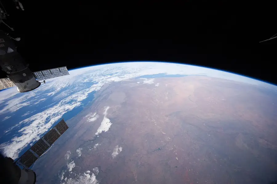
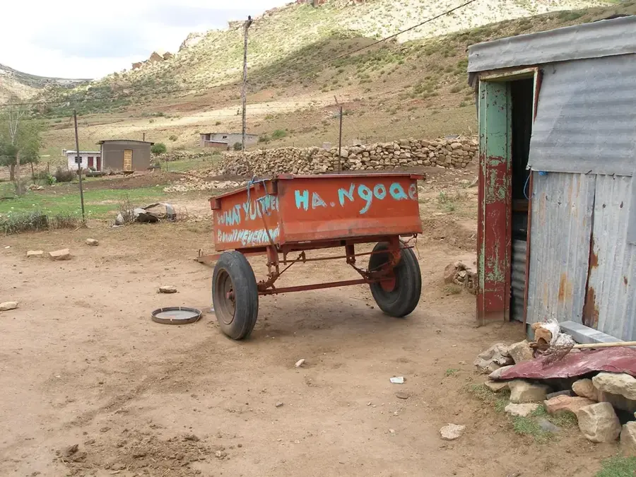
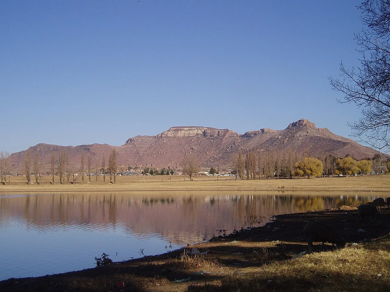
- Location: Lesotho
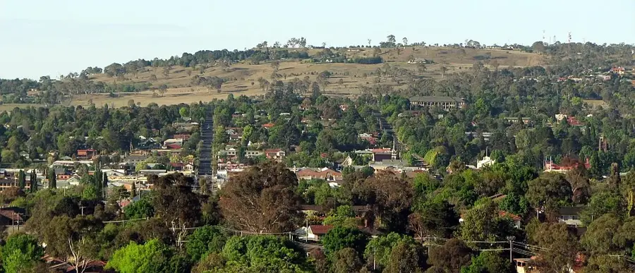
- Nearby: Mafeteng (4 km)
Best time to visit & climate
The most pleasant time to visit is Jan, Feb, Dec.
| Jan | Feb | Mar | Apr | May | Jun | Jul | Aug | Sep | Oct | Nov | Dec | |
|---|---|---|---|---|---|---|---|---|---|---|---|---|
| Avg °C | 20 | 19 | 17 | 13 | 10 | 6 | 6 | 8 | 13 | 16 | 18 | 20 |
| Rain mm | 105 | 92 | 75 | 55 | 21 | 20 | 11 | 25 | 20 | 64 | 80 | 98 |
📋 Practical info
Geography
Facts
- Church built: 1856
- Sandstone walls: 2 m thick
- Cemetery: 30 graves
- Protected since: 1980
- Ruins height: up to 4 m
- Location: 29°S, 27°E
Explore nearby
Notable places around
Route planner — Car & Motorhome
Where do you start? We build the route here, with stops and country notes along the way.
© OpenStreetMap contributors · OpenRouteService
Sights nearby
Frequently asked questions
What are the Hermon Ruins?
Are the ruins freely accessible?
What can still be seen there today?
Where is Hermon located?
Are there guided tours?
Hermon Ruins: where is it located?
Hermon Ruins: when is the best time to visit?
Hermon Ruins: why is it worth visiting?

Nearby cities
History & landmarks

Nature
More places