Plizio Visual Lab
Maloti Foothills

Weather…
Water temperature…
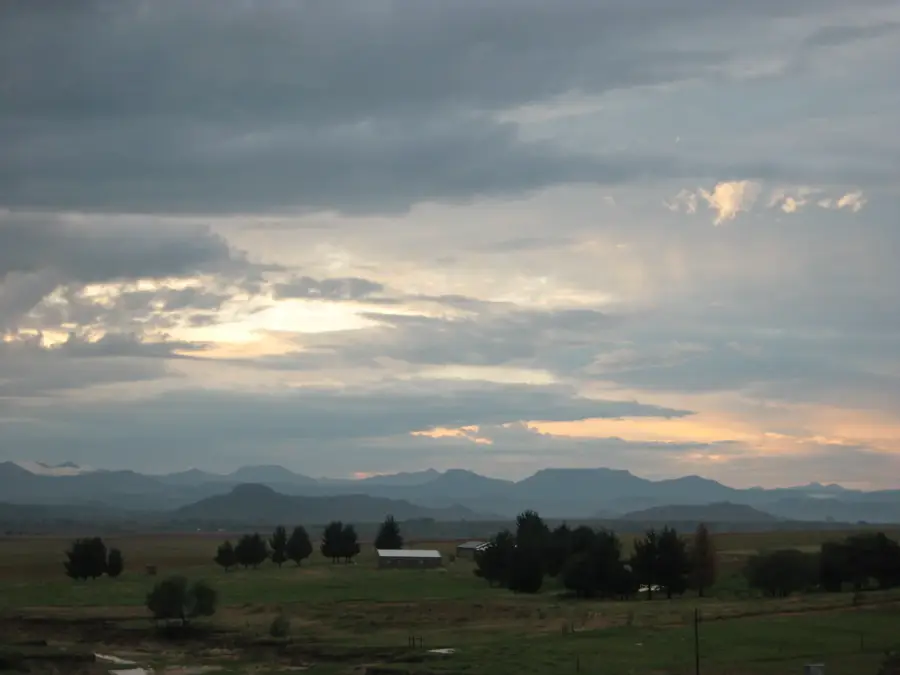
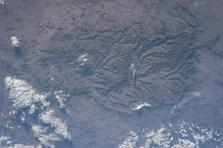
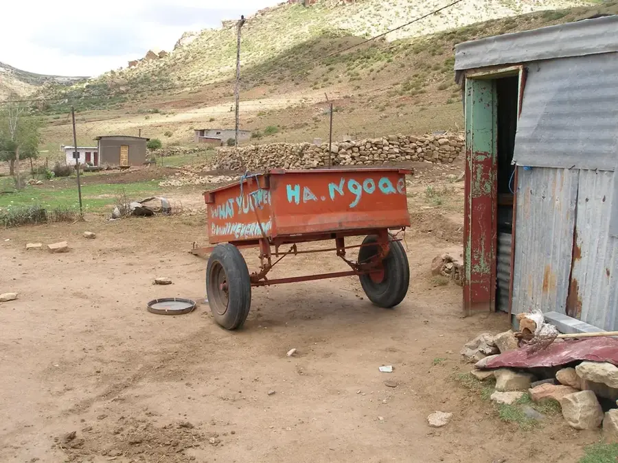
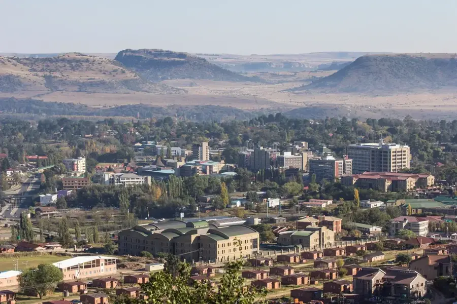
The Maloti foothills constitute a distinct ecological and cultural transition zone in Lesotho, lying between the western lowlands and the high-altitude Maloti range. Ranging from 1,800 to 2,100 meters above sea level, this region features a rugged terrain characterized by rolling hills, fertile valleys, and dramatic sandstone cliffs. The geology of the area is particularly striking, with massive sedimentary layers that have been weathered into deep overhangs, many of which shelter ancient San rock art. This landscape is the traditional heartland of Basotho pastoralism, where the sight of shepherds in traditional blankets is common among the lush grazing lands. The foothills serve as a crucial agricultural belt, benefiting from more consistent rainfall than the lower plains. Beyond its economic value, the area is a gateway for mountain tourism, offering scenic trekking routes and horse trails that navigate the complex topography. The interplay of golden sandstone and green valleys creates some of the most iconic vistas in the Kingdom in the Sky.
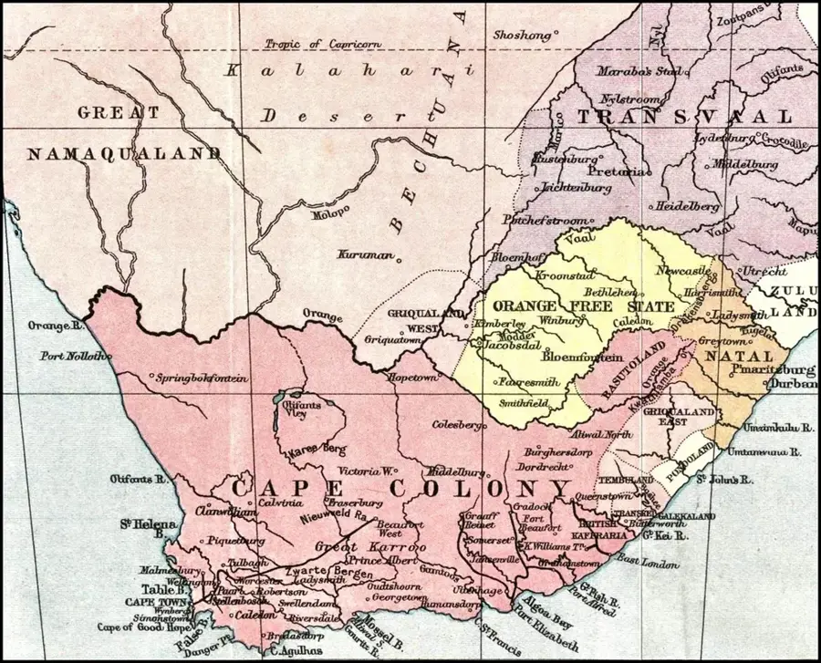
- Location: Lesotho
- Nearby: Thaba-Bosiu (9 km)
Best time to visit & climate
The most pleasant time to visit is Jan, Feb, Dec.
| Jan | Feb | Mar | Apr | May | Jun | Jul | Aug | Sep | Oct | Nov | Dec | |
|---|---|---|---|---|---|---|---|---|---|---|---|---|
| Avg °C | 21 | 20 | 18 | 14 | 11 | 7 | 7 | 9 | 14 | 17 | 18 | 20 |
| Rain mm | 102 | 92 | 74 | 63 | 22 | 21 | 8 | 22 | 19 | 61 | 84 | 103 |
📋 Practical info
Geography
Facts
- Maloti Foothills elevation range: 1,800–2,200 m.
- The region extends about 100 km (62 mi) in length.
- Butha-Buthe is at about 1,730 m (5,676 ft) elevation.
- The Little Caledon River is a tributary of the Vaal.
- Average annual rainfall is 800 mm (31.5 in).
- Population density is about 80 people per km².
Explore nearby
Notable places around
Route planner — Car & Motorhome
Where do you start? We build the route here, with stops and country notes along the way.
© OpenStreetMap contributors · OpenRouteService
Sights in the town Maloti Foothills (1)
Sights nearby
Frequently asked questions
What are the Maloti Foothills?
Which activities are popular here?
Are there many villages there?
When do the wildflowers bloom?
What is the infrastructure like?
Maloti Foothills: where is it located?
Maloti Foothills: when is the best time to visit?
Maloti Foothills: why is it worth visiting?

Nearby cities
History & landmarks


More places