Plizio Visual Lab
Lumphat
ℹ️Practical info — Lumphat
▾
🌤 Weather — 5 days
📍 Nearby
Sights nearby
💡 Tips
- Organize your transport and a local guide in Banlung before heading to this remote area.
- Always ask for permission politely before taking photographs in the indigenous villages.
- Prepare for muddy and potentially impassable dirt roads during the rainy season.
- There are very few tourist facilities, so pack plenty of water and basic medical supplies.
🍽 Food
Often offered by locals at the small village market.
A traditional dish in the villages, often available at a homestay.
Find it at the few, very simple food stalls in the village center.
🛍 Shopping · 🧘 Quiet spots
Buy woven baskets and textiles best directly in the villages.
Local foragers often sell these natural products in small quantities.
A wild and isolated place, good for relaxing in nature.
Hire a guide for a silent and respectful hike into the wilderness.
Water temperature…
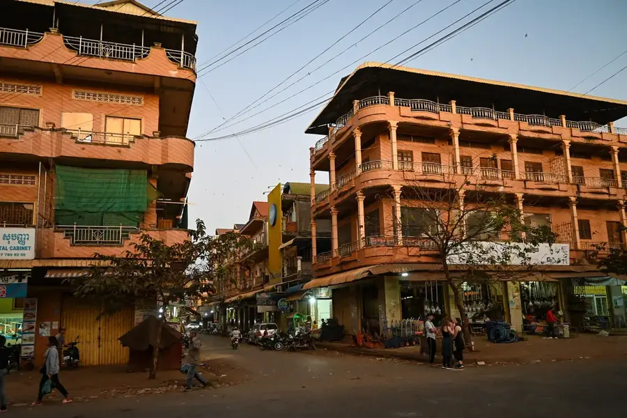
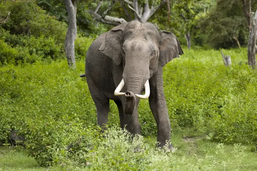
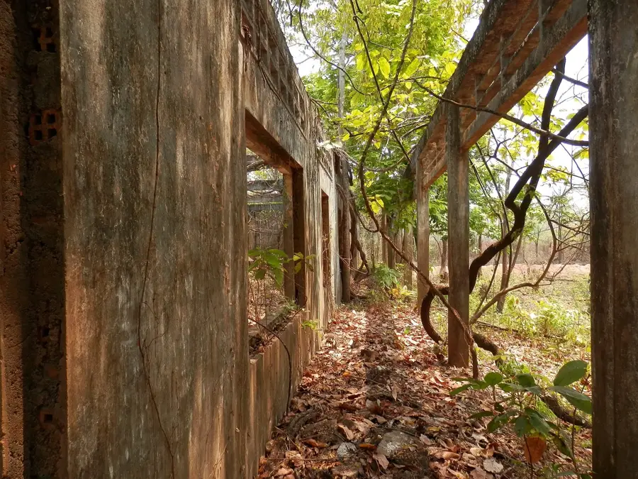
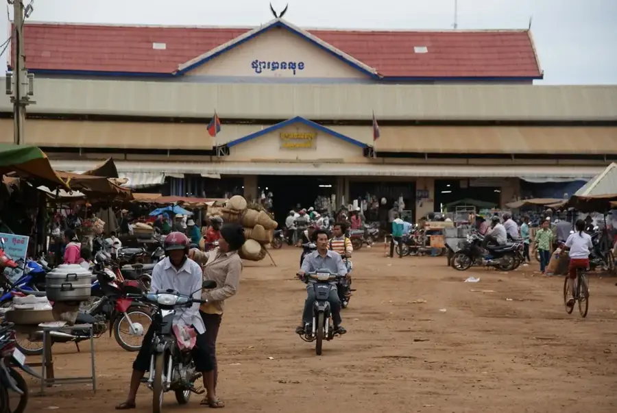
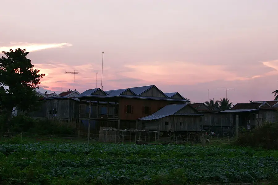
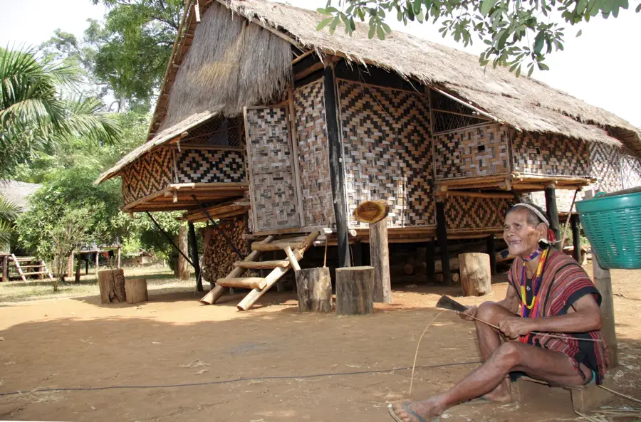
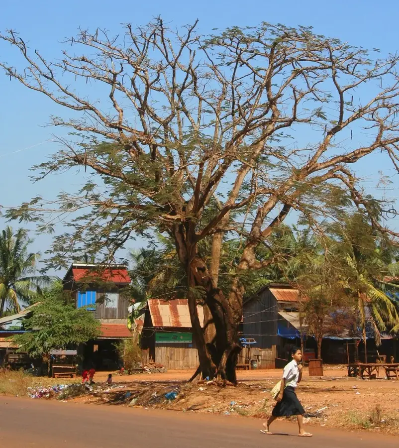
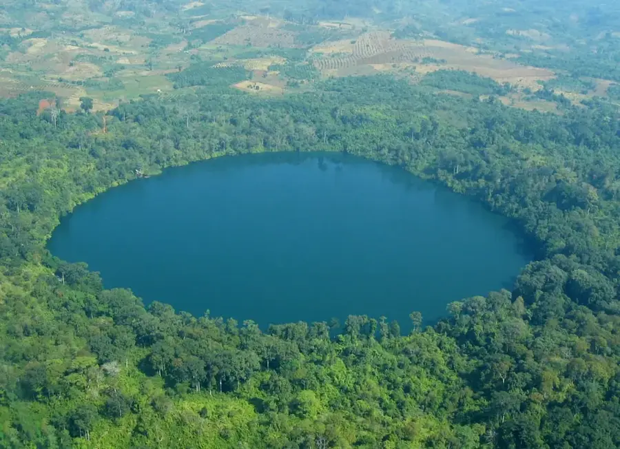
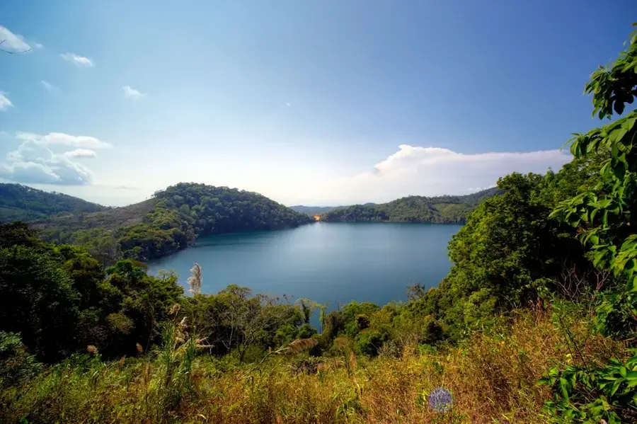
Lumphat is a historically significant town in Ratanakiri Province, located in northeastern Cambodia on the scenic banks of the Srepok River. Until 1975, Lumphat served as the provincial capital of Ratanakiri before this role was transferred to Banlung due to strategic location and war damages. During the Vietnam War, the region was an important part of the Ho Chi Minh Trail and thus suffered massive destruction from US airstrikes. Today, the town is primarily known as the gateway to the Lumphat Wildlife Sanctuary, a vast protected area that provides refuge for endangered species like the Giant Ibis. The surroundings of Lumphat are dominated by dense forests and large rubber plantations, which form the economic backbone of the region. Despite its remote location, the town maintains a rural charm and serves as a local center for the region's ethnic minorities, such as the Tumpoun and Jarai people.
- Location: Cambodia
- Nearby: Banlung (8 km)
- Population: ~19.205 (2020)
Best time to visit & climate
The most pleasant time to visit is Jan, Feb, Dec.
| Jan | Feb | Mar | Apr | May | Jun | Jul | Aug | Sep | Oct | Nov | Dec | |
|---|---|---|---|---|---|---|---|---|---|---|---|---|
| Avg °C | 26 | 27 | 29 | 31 | 30 | 29 | 28 | 28 | 28 | 28 | 27 | 26 |
| Rain mm | 4 | 2 | 12 | 25 | 77 | 109 | 127 | 162 | 142 | 98 | 47 | 15 |
Geography
Facts
- Lumphat officially lost its status as the provincial capital in 1975.
- The Srepok River, on which the town is situated, flows onwards towards Vietnam.
- The Lumphat Wildlife Sanctuary covers an area of over 250,000 hectares.
- Significant archaeological sites from the Khmer era are located nearby.
- The region is renowned for the cultivation of rubber and cashew nuts.
- Lumphat is located approximately 37 kilometers south of the current capital, Banlung.
Explore nearby
Notable places around
Route planner — Car & Motorhome
Where do you start? We build the route here, with stops and country notes along the way.
© OpenStreetMap contributors · OpenRouteService
Frequently asked questions
Why is Lumphat historically important?
What activities can be done in Lumphat?
How is the infrastructure in Lumphat?
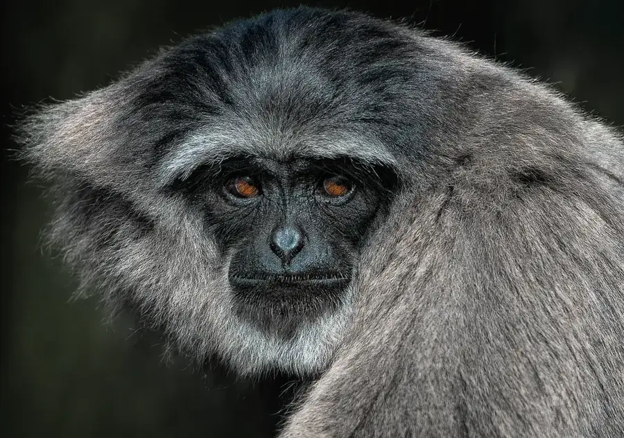
What ethnic groups live here?
Is it difficult to get there?
Lumphat: where is it located?
Lumphat: when is the best time to visit?
Lumphat: why is it worth visiting?

Nearby cities
Nature
More places