Plizio Visual Lab
Virachey Mountains

Weather…
Water temperature…
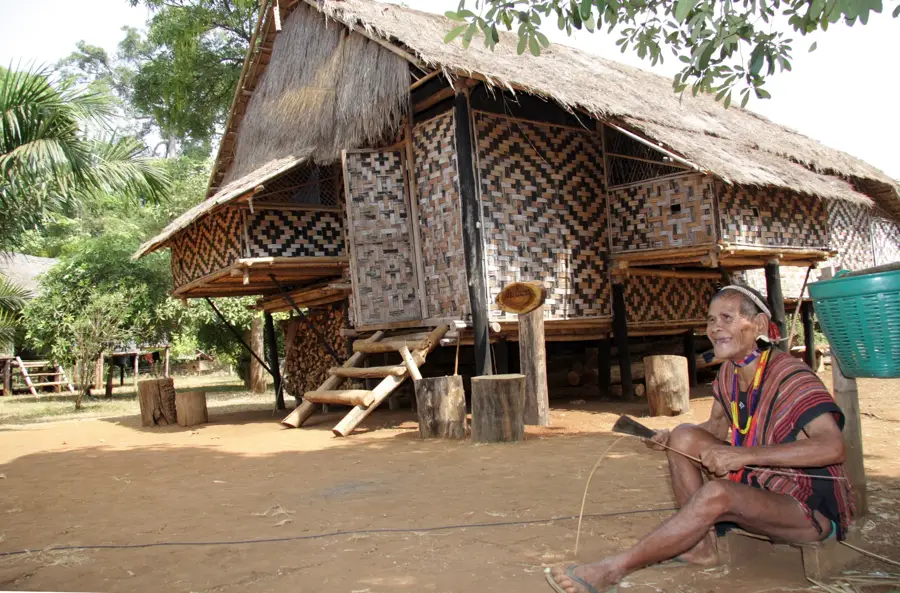
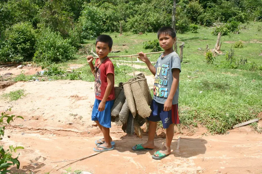
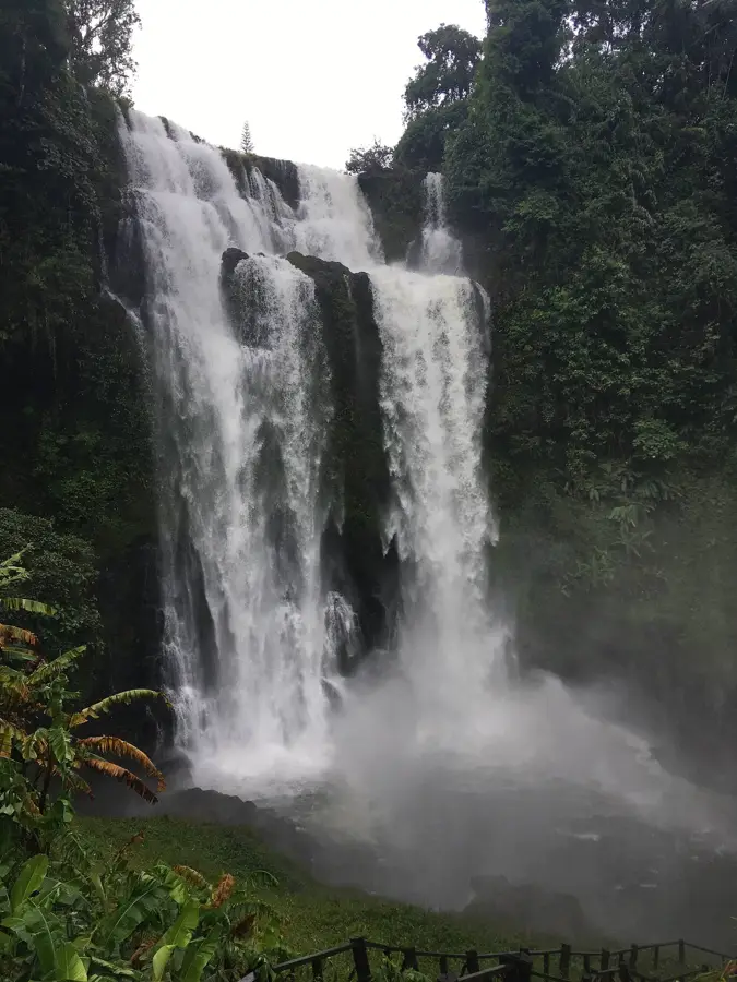
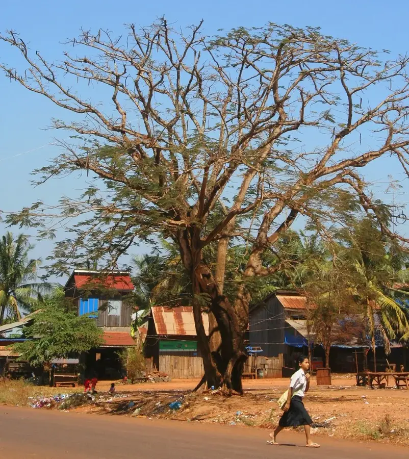
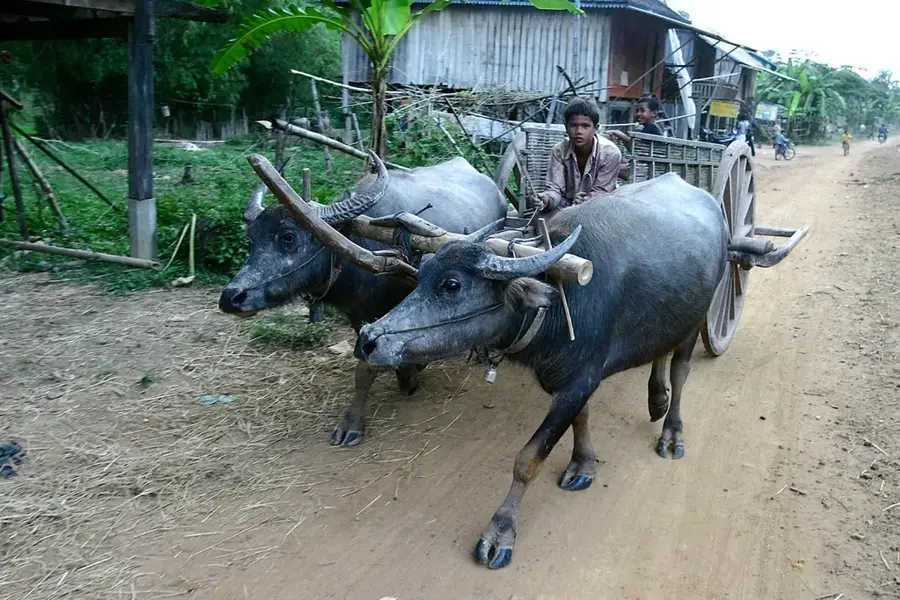
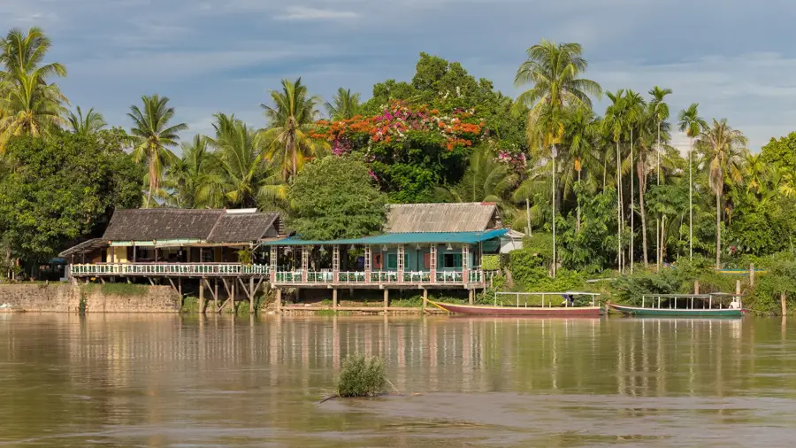
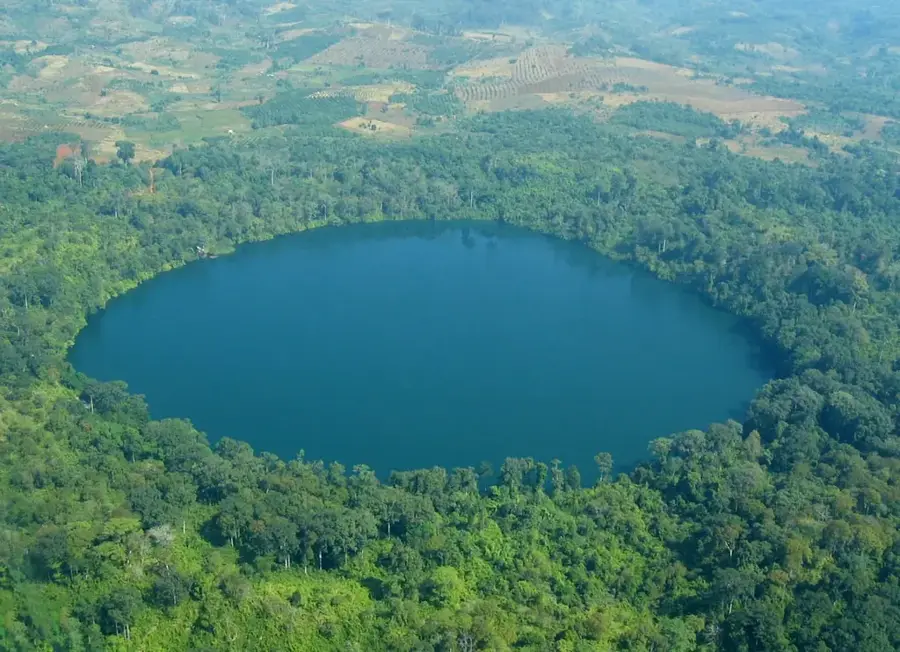
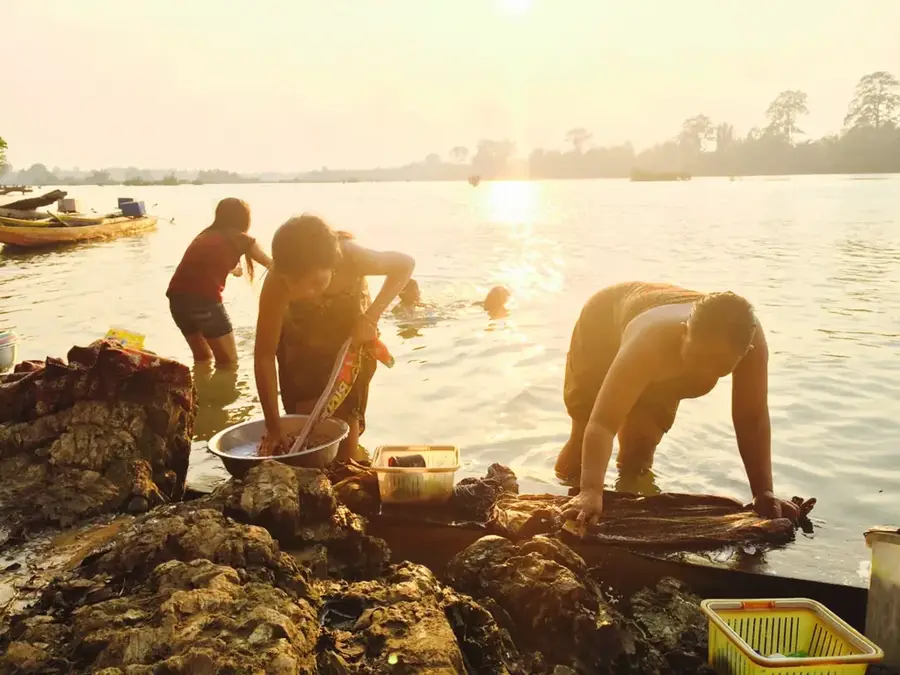
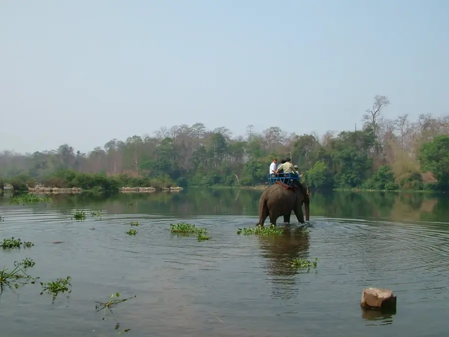
The Virachey Mountains in northeastern Cambodia form the core of Virachey National Park, the country's largest protected area at 3,325 km². The range features elevations from 150 to 1,513 meters, with Phnom Virachey as the highest peak. Geologically, the mountains comprise Mesozoic sandstone and basalt formations. The region receives 4,000-5,000 mm of rainfall annually, sustaining dense tropical rainforests. It is home to endangered species such as the Indochinese tiger and Asian elephant. Indigenous Brao and Kreung communities inhabit the periphery, practicing swidden agriculture. The park serves as a crucial watershed for the Mekong tributaries Sekong and Sesan. Over 60 mammal and 500 bird species have been recorded.
- Location: Cambodia
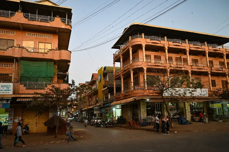
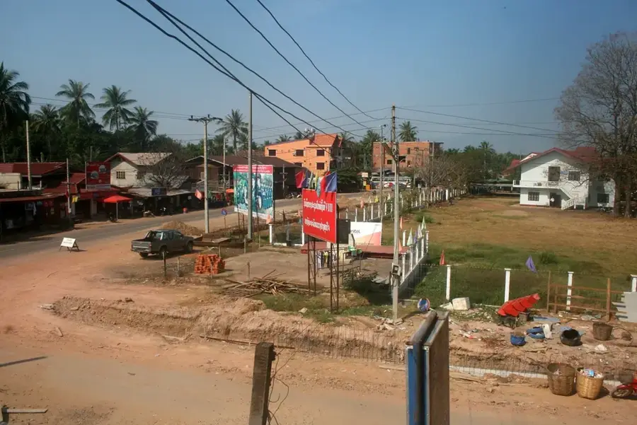
- Nearby: Banlung (49 km)
Best time to visit & climate
The most pleasant time to visit is Jan, Feb, Dec.
| Jan | Feb | Mar | Apr | May | Jun | Jul | Aug | Sep | Oct | Nov | Dec | |
|---|---|---|---|---|---|---|---|---|---|---|---|---|
| Avg °C | 26 | 28 | 30 | 31 | 30 | 29 | 28 | 27 | 27 | 28 | 27 | 26 |
| Rain mm | 3 | 3 | 21 | 42 | 108 | 158 | 237 | 262 | 198 | 81 | 17 | 7 |
📋 Practical info
Geography
Facts
- Area: 3,325 km²
- Highest peak: Phnom Virachey (1,513 m)
- Annual rainfall: up to 5,000 mm
- Mammal species: over 60
- Bird species: over 500
- Park established: 1993
Explore nearby
Notable places around
Route planner — Car & Motorhome
Where do you start? We build the route here, with stops and country notes along the way.
© OpenStreetMap contributors · OpenRouteService
Sights nearby
Frequently asked questions
What is Virachey National Park?
What animals live in these mountains?
Can you go trekking there?
What is the terrain like?
Is there accommodation?
Virachey Mountains: where is it located?
Virachey Mountains: when is the best time to visit?
Virachey Mountains: why is it worth visiting?

Nearby cities
Nature
More places