Plizio Visual Lab
Talas River
Weather…
Water temperature…
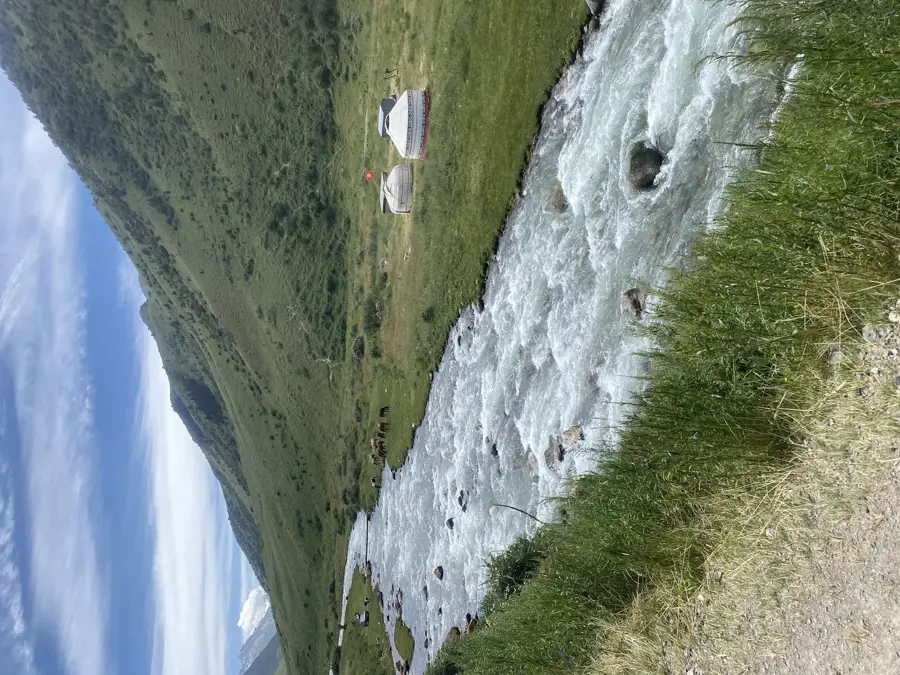
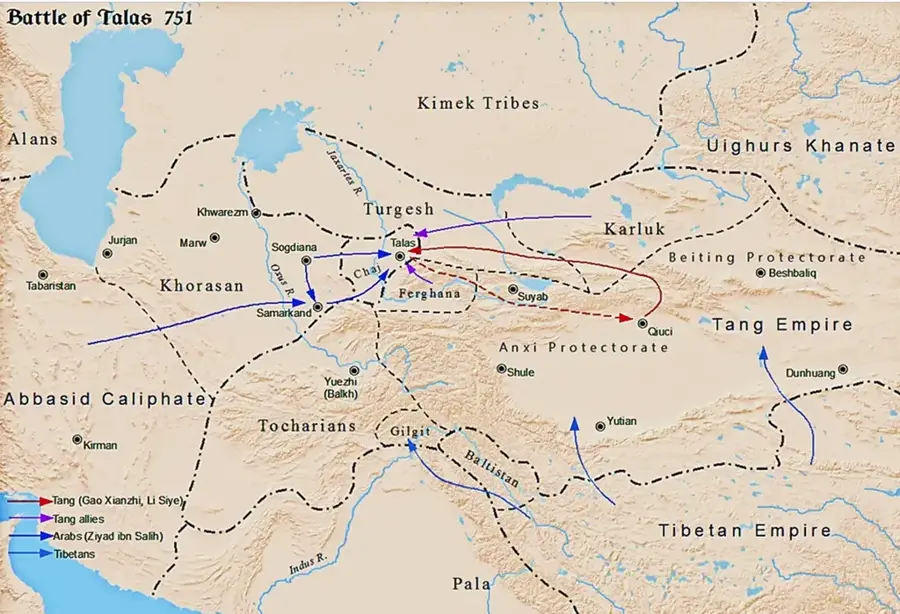
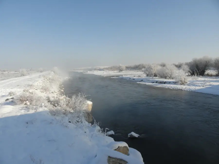
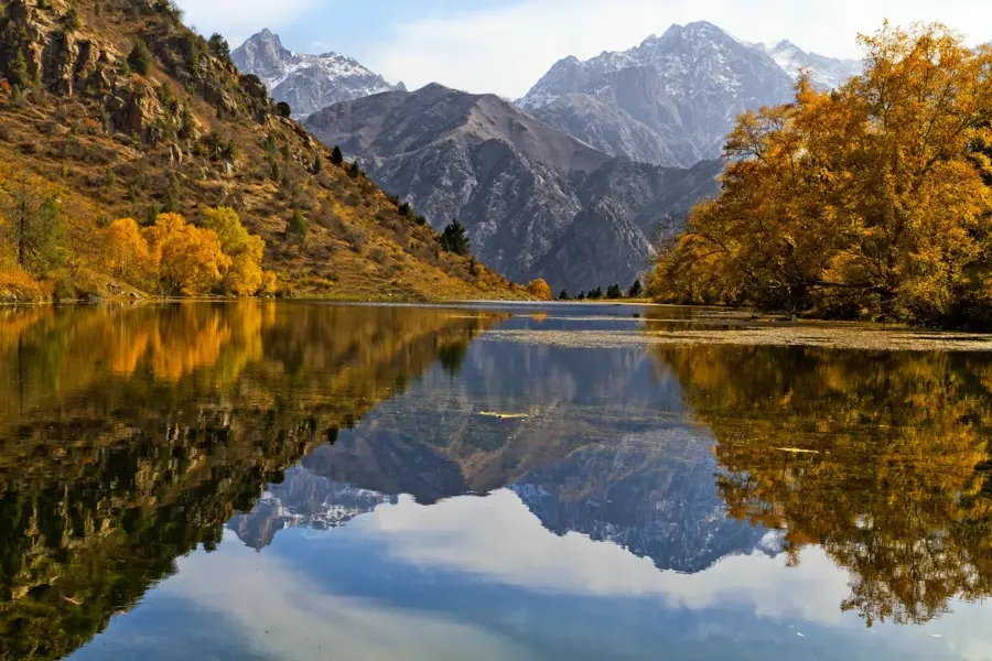
The Talas River is a historically significant waterway flowing for approximately 661 kilometers through northwestern Kyrgyzstan and southern Kazakhstan. Formed by the confluence of the Karakol and Uch-Koshoy rivers in the Talas Alatau mountains, it flows through a fertile valley that is celebrated as the legendary home of the Kyrgyz national hero, Manas. The river is most famous for the Battle of Talas in 751 AD, where the forces of the Abbasid Caliphate defeated the Chinese Tang Dynasty army. This pivotal encounter halted Chinese westward expansion and facilitated the gradual Islamization of Central Asia. Additionally, it is said that Chinese prisoners captured during the battle introduced the secret of papermaking to the Islamic world, from where it eventually reached Europe. Today, the Talas River is vital for regional agriculture, and its flow is managed by the massive Kirov Reservoir, which provides crucial irrigation for both Kyrgyzstan and neighboring Kazakhstan.
- Location: Kyrgyzstan
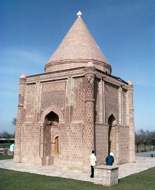
- Top sights: Tsentral'nyi mechit · Chech-Diobio · Akzholtoi Mechiti
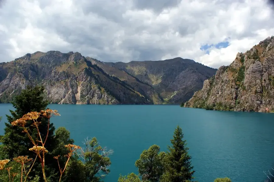
- Nearby: Sary-Chelek Lake (38 km)
Best time to visit & climate
The most pleasant time to visit is Jun–Aug.
| Jan | Feb | Mar | Apr | May | Jun | Jul | Aug | Sep | Oct | Nov | Dec | |
|---|---|---|---|---|---|---|---|---|---|---|---|---|
| Avg °C | -6 | -4 | 2 | 7 | 12 | 17 | 20 | 19 | 14 | 7 | 1 | -5 |
| Rain mm | 27 | 33 | 42 | 51 | 37 | 24 | 14 | 11 | 11 | 30 | 37 | 31 |
📋 Practical info
Geography
Facts
- The total length of the Talas River is 661 kilometers.
- The historic Battle of Talas occurred in July 751 AD.
- The Kirov Reservoir was completed in 1975 for irrigation purposes.
- The river basin covers an area of approximately 52,700 square kilometers.
- It is considered an endorheic river, terminating in a desert.
- The river is the primary source of water for the Talas Region.
Explore nearby
Notable places around
Route planner — Car & Motorhome
Where do you start? We build the route here, with stops and country notes along the way.
© OpenStreetMap contributors · OpenRouteService
Sights in the town Talas River (3)
Sights nearby
Frequently asked questions
Why is the Talas River historically famous?
Where does the Talas River originate?
Are there dams on the river?
Which city is located on the Talas River?
Can you camp by the river?
Talas River: where is it located?
Talas River: what is there to see?
Talas River: when is the best time to visit?
Talas River: why is it worth visiting?

Nearby cities


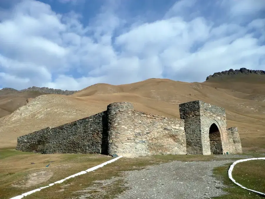

History & landmarks

Nature
More places