Plizio Visual Lab
Mumias
ℹ️Practical info — Mumias
▾
🌤 Weather — 5 days
📍 Nearby
Sights nearby
💡 Tips
- The climate is warm and humid; dress in light, breathable clothing.
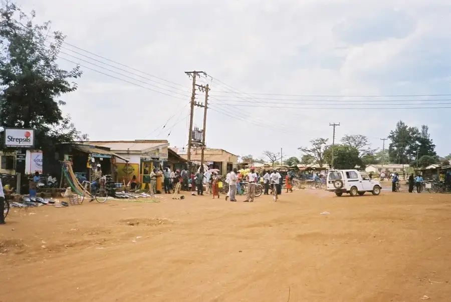
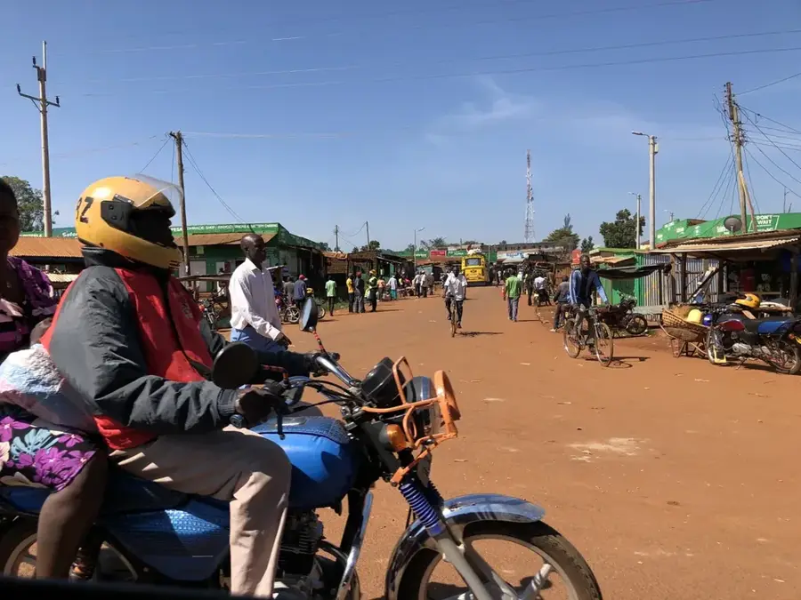
- A bicycle taxi (boda-boda) is a common and fun way to get around locally.
- Learn a few words of Luyia (local language) to delight the friendly locals.
- Visit the Nabongo Cultural Centre to learn about the Wanga Kingdom's history.
🍽 Food
A traditional Luyia delicacy, must-try at local restaurants.
Popular street food available on many corners.
Buy freshly cut pieces from vendors; Mumias is famous for its sugar.
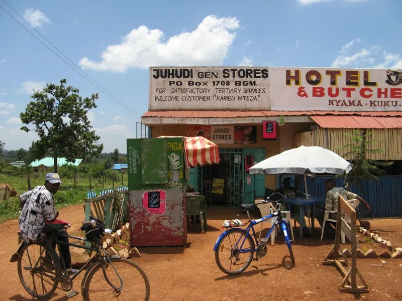
🛍 Shopping · 🧘 Quiet spots
Available at the main town market.
Vegetables like Mrenda are great to buy from local farmers.
Peaceful and educational walking paths.
Calm natural surroundings outside town.
Water temperature…
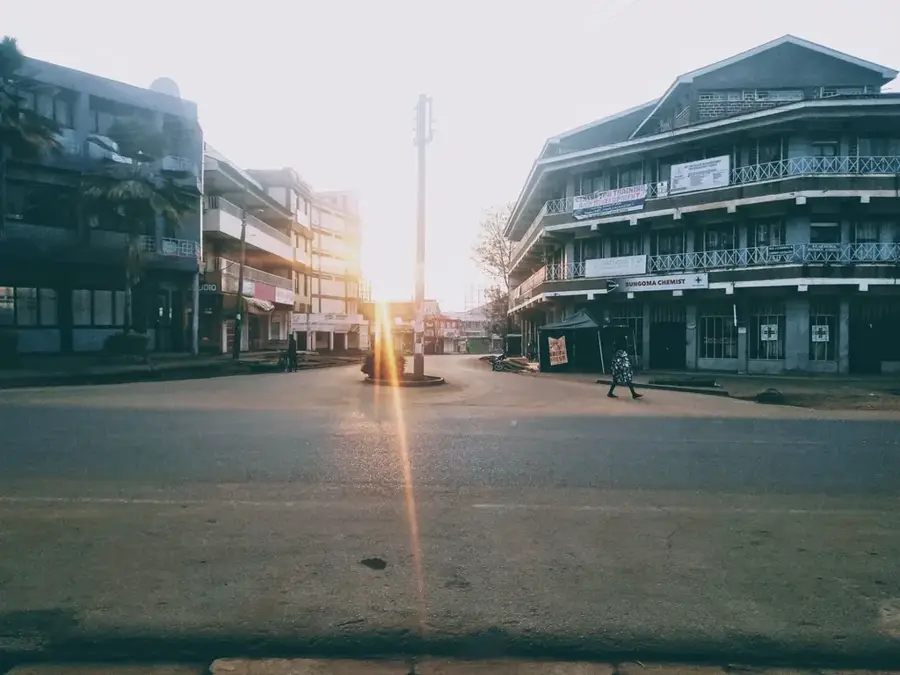
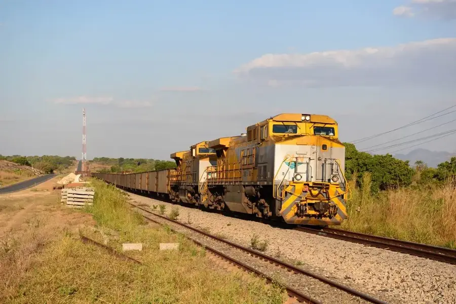
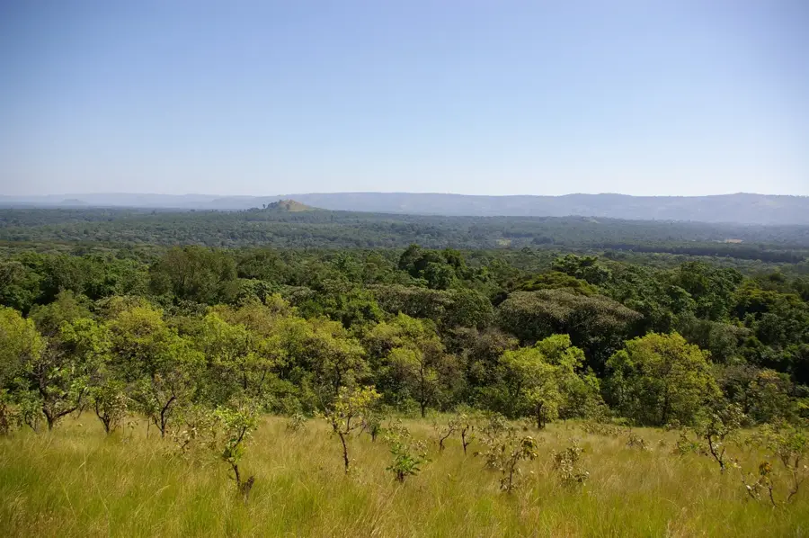
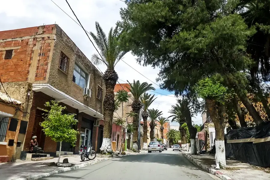
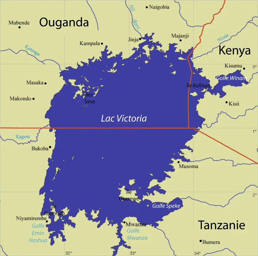
Mumias is a town of significant historical importance located in Kakamega County within the Western Province of Kenya. It is best known as the former capital of the Wanga Kingdom, the only centralized state in pre-colonial Kenya. The town is named after Nabongo Mumia, the paramount chief of the Wanga people, who ruled during the transition to British colonial administration in the late 19th and early 20th centuries. For many years, Mumias was synonymous with the Kenyan sugar industry, anchored by the Mumias Sugar Company, which was once the largest sugar producer in East and Central Africa. Geographically, the town sits on a plateau at an elevation of approximately 1,300 meters above sea level and serves as a crucial transit point on the highway connecting Kisumu to the Ugandan border at Busia. The local population is predominantly of the Luhya ethnic group, whose rich cultural traditions and the legacy of the Nabongo dynasty continue to shape the town's social and historical identity.
- Location: Kenya
- Top sights: Mumias Cultural Center · Mumias Arts
- Nearby: Bungoma (22 km)
- Population: ~45.485 (2018)
Best time to visit & climate
The most pleasant time to visit is Jan, Feb, Jul.
| Jan | Feb | Mar | Apr | May | Jun | Jul | Aug | Sep | Oct | Nov | Dec | |
|---|---|---|---|---|---|---|---|---|---|---|---|---|
| Avg °C | 23 | 24 | 24 | 23 | 22 | 21 | 21 | 21 | 22 | 22 | 22 | 22 |
| Rain mm | 63 | 58 | 153 | 242 | 241 | 139 | 113 | 160 | 200 | 193 | 185 | 104 |
Geography
Facts
- Mumias served as the capital of the Wanga Kingdom, Kenya's only pre-colonial centralized state.
- The town is situated at an elevation of approximately 1,312 meters above sea level.
- Nabongo Mumia ruled the region from 1882 until his death in 1949.
- The Mumias Sugar Company was established in 1971 as a government-led project.
- It is located along the major highway connecting the city of Kisumu to the border town of Busia.
- The Nabongo Cultural Centre preserves the artifacts and history of the Wanga people.
Explore nearby
Notable places around
Route planner — Car & Motorhome
Where do you start? We build the route here, with stops and country notes along the way.
© OpenStreetMap contributors · OpenRouteService
Sights in the town Mumias (2)
Frequently asked questions
What is Mumias known for?
Can you visit the sugar factory?
What is the climate in Mumias?
Are there nature attractions nearby?
What culture is found here?
Mumias: where is it located?
Mumias: what is there to see?
Mumias: when is the best time to visit?
Mumias: why is it worth visiting?

Nearby cities


Nature

More places