Plizio Visual Lab
Kakamega
ℹ️Practical info — Kakamega
▾
🌤 Weather — 5 days
📍 Nearby
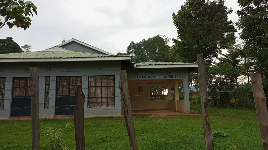
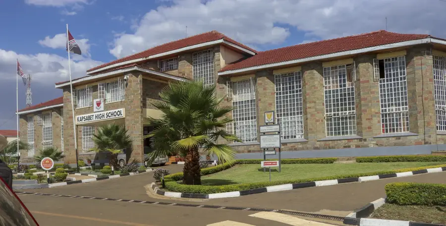
Sights nearby
💡 Tips
- Always carry an umbrella; the proximity to the tropical forest means rain is frequent even in dry seasons.
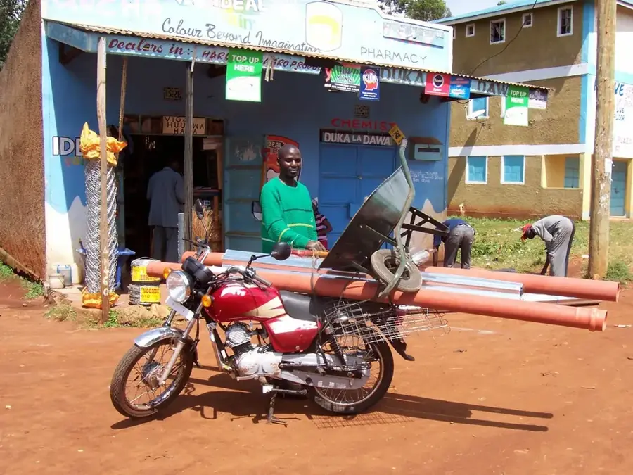
- Make sure to negotiate your fare firmly before hopping onto a boda-boda (motorcycle taxi).
- Hire a local guide when visiting Kakamega Forest to easily spot the rare monkeys and bird species.
- Plan around market days when the town center becomes extremely busy and traffic slows down.
🍽 Food
A traditional Luhya chicken dish that is a must-try at authentic local restaurants.
Maize meal paired with slightly bitter traditional leafy greens for a hearty, healthy lunch.
Buy peeled sections directly from street vendors for a naturally sweet, hydrating snack.
🛍 Shopping · 🧘 Quiet spots
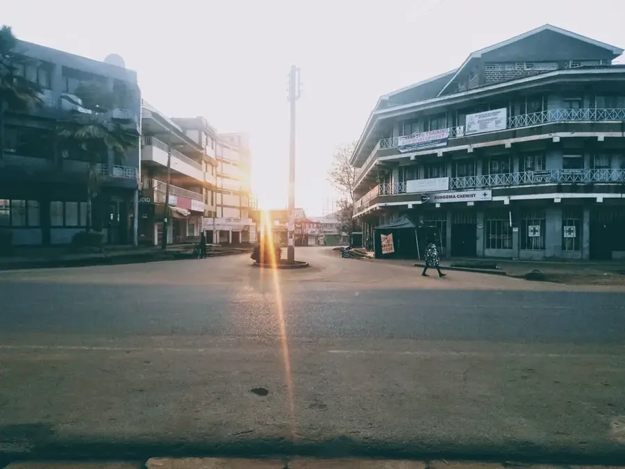
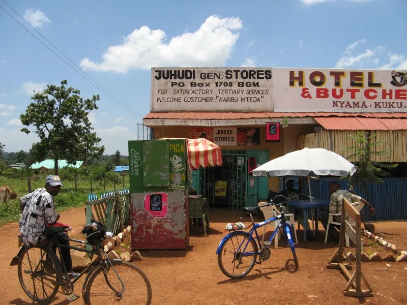
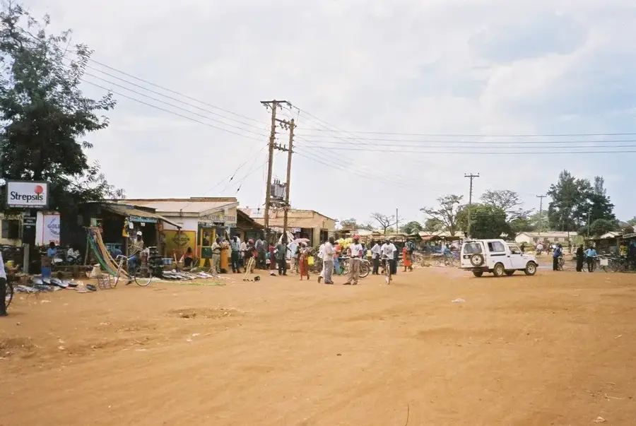
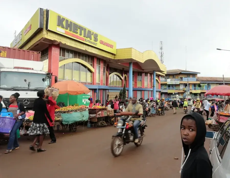
The bustling heart of the town, excellent for browsing fresh produce and affordable clothes.
Check out the small local craft stalls for beautifully handmade traditional souvenirs.
Escape into the tranquil forest trails where the only sounds are from the canopy wildlife.
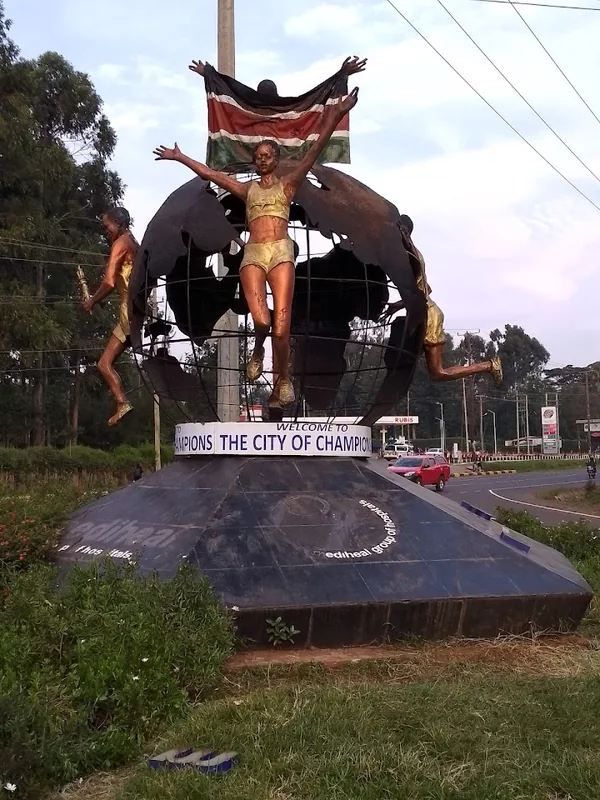
A striking cultural landmark that is surprisingly peaceful and uncrowded on weekdays.
Set right on the edge of the forest, these well-kept grounds offer deep relaxation.
Water temperature…
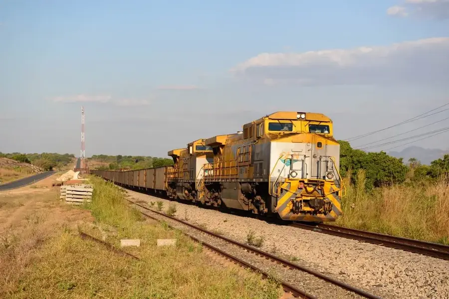
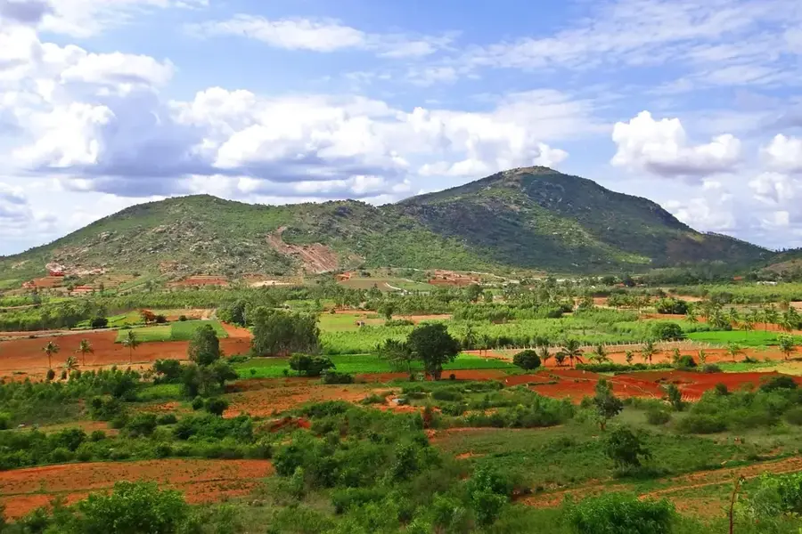
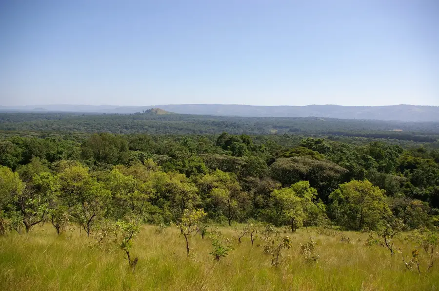
Kakamega is the administrative capital of Kakamega County in Western Kenya, situated at an elevation of approximately 1,535 meters above sea level. Established as a colonial administrative center in the early 20th century, the city grew significantly due to its location in a highly fertile agricultural region. Geographically, it is most famous for being the gateway to the Kakamega Forest National Reserve, the last remaining fragment of the ancient Guineo-Congolian rainforest that once spanned the African continent. The local economy is primarily driven by the agricultural sector, specifically large-scale sugarcane farming and processing, alongside a growing service industry. The presence of Masinde Muliro University of Science and Technology has also made the city a key educational hub in Western Kenya. Culturally, the region is known for the traditional bullfighting ceremonies of the Luhya people, which reflect deep-seated social heritage and communal identity. Today, Kakamega serves as a vital commercial link between the western highlands and the border regions near Uganda, balancing modern urban expansion with the conservation of its unique ecological assets. The city's development is closely tied to both its rich natural environment and its strategic role in regional trade and administration.
- Location: Kenya
- Top sights: Kakamega District · Kakamega County · Diocese of Kakamega
- Nearby: Vihiga (19 km)
- Population: ~1.867.579 (2022)
Best time to visit & climate
The most pleasant time to visit is Jan–Mar.
| Jan | Feb | Mar | Apr | May | Jun | Jul | Aug | Sep | Oct | Nov | Dec | |
|---|---|---|---|---|---|---|---|---|---|---|---|---|
| Avg °C | 19 | 20 | 21 | 20 | 19 | 18 | 18 | 18 | 19 | 19 | 19 | 18 |
| Rain mm | 52 | 49 | 128 | 275 | 260 | 173 | 159 | 201 | 188 | 200 | 175 | 89 |
Geography
Facts
- Situated at an elevation of 1,535 meters above sea level.
- Home to the 230 sq km Kakamega Forest Reserve.
- Masinde Muliro University was formally established in 2002.
- Major economic driver is the regional sugarcane industry.
- Traditional bullfighting is a key cultural heritage of the area.
- Serves as the headquarters for Kakamega County government.
Explore nearby
Notable places around
Route planner — Car & Motorhome
Where do you start? We build the route here, with stops and country notes along the way.
© OpenStreetMap contributors · OpenRouteService
Sights in the town Kakamega (3)
Frequently asked questions
What is the main attraction in Kakamega?
When should you visit Kakamega Forest?
How do you get to Kakamega?
What is the most famous food in Kakamega?
Can you see the 'Crying Stone' in Kakamega?
Kakamega: where is it located?
Kakamega: what is there to see?
Kakamega: when is the best time to visit?
Kakamega: why is it worth visiting?

Nearby cities
More places