Plizio Visual Lab
Vihiga
ℹ️Practical info — Vihiga
▾
🌤 Weather — 5 days
📍 Nearby
Sights nearby
💡 Tips
- Wear shoes with good grip, as the rocky landscape can be slippery.
- Expect frequent afternoon showers and carry an umbrella with you.
- Show respect at the local sacred stone formations of the Maragoli culture.
- Take advantage of the cool mornings for walks in the lush, green surroundings.
🍽 Food
Traditionally prepared chicken served in almost every local diner.
A slightly bitter, traditional leafy green vegetable that pairs perfectly with Ugali.
Drink fresh, hot tea at small cafes, which is often grown in the surrounding hills.
🛍 Shopping · 🧘 Quiet spots
Buy fresh tea straight from the market, sourced from nearby plantations.
Keep an eye out for handmade clay pots and wares crafted by local artisans.
Hike up to the viewpoints for sweeping views over the rocky landscape.
Seek out the quiet trails in the small forest patches on the edge of town.
Water temperature…
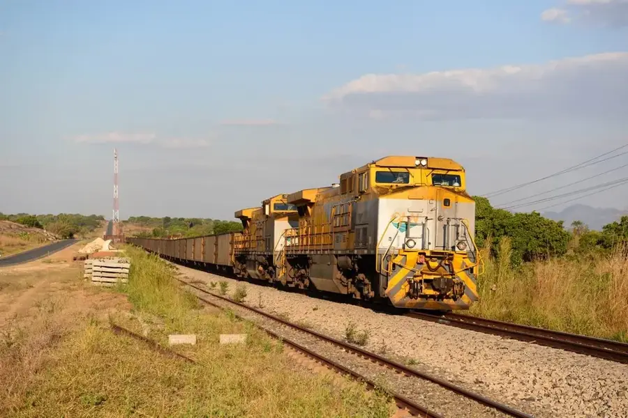
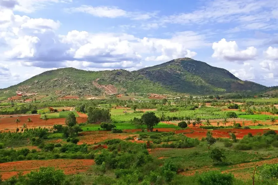
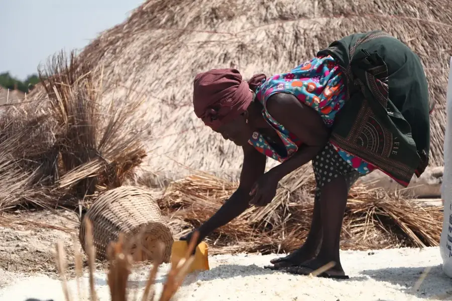
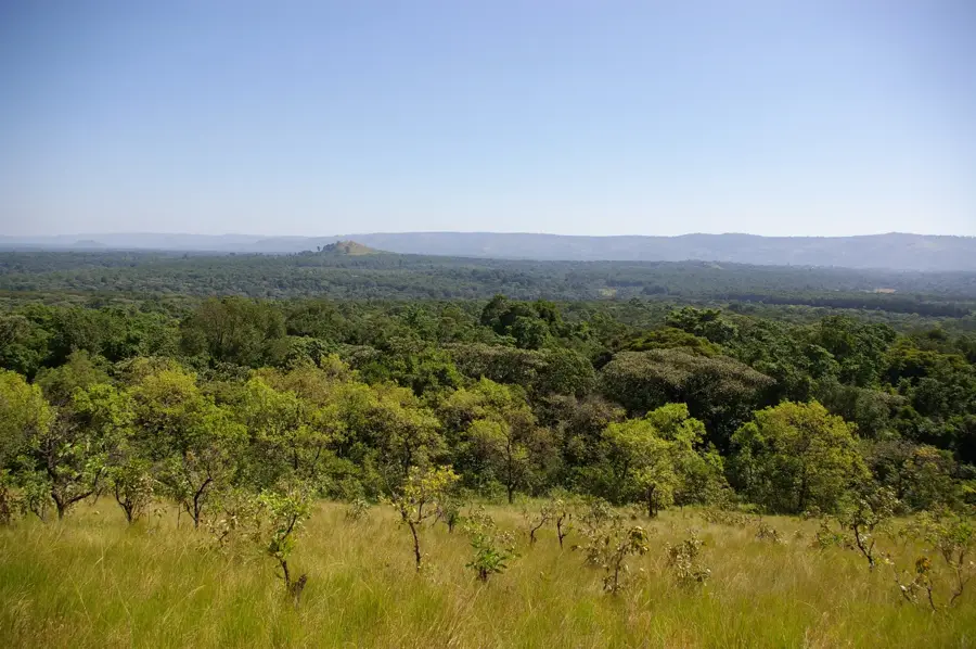
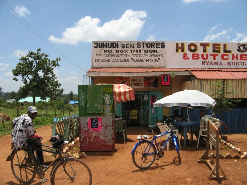
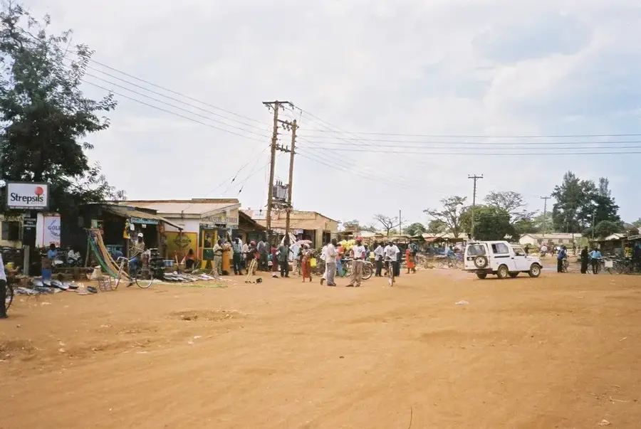
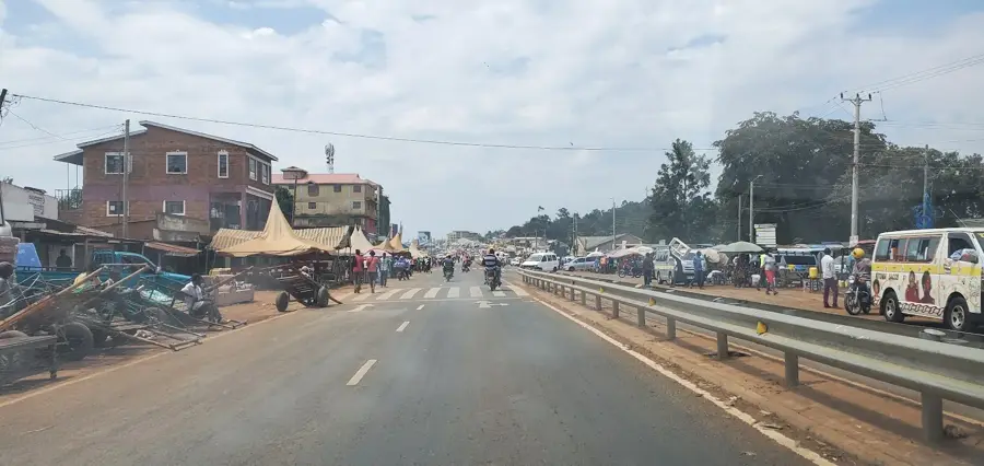
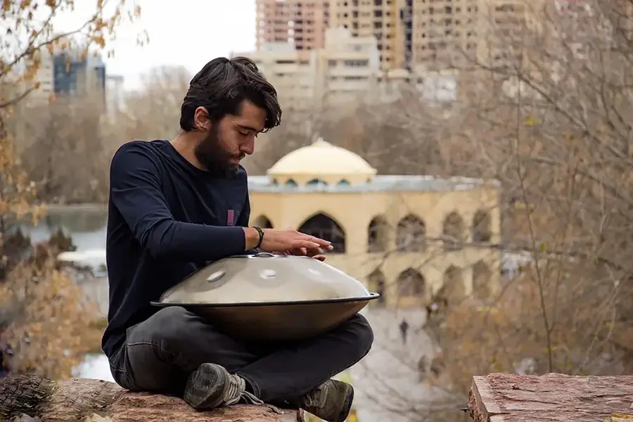
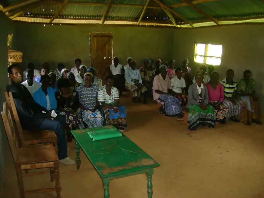
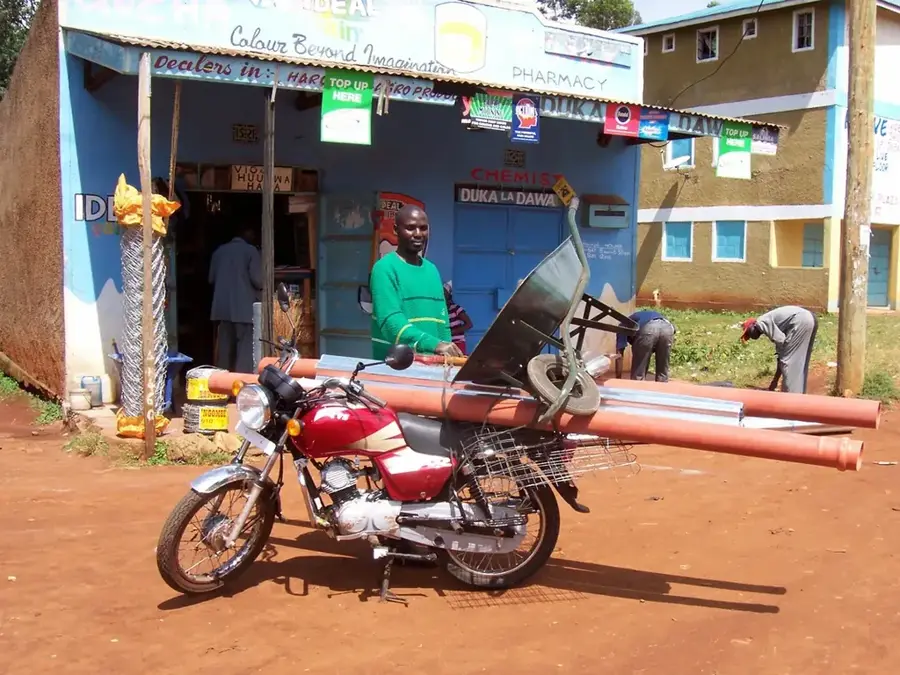
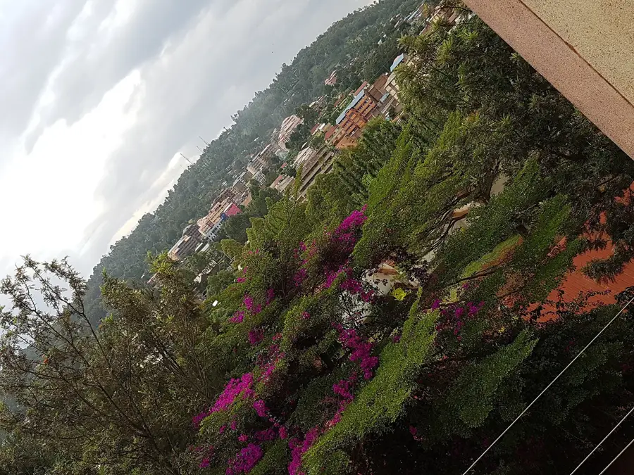
Vihiga is the administrative capital of Vihiga County in western Kenya, situated in one of the most densely populated rural regions of the country. The town serves as the cultural heartland of the Maragoli people, a sub-group of the Luhya community, and is famous for its lush, undulating green hills. Historically, the region was a significant site for early Christian missions in Kenya, which laid the foundation for the town's robust educational and social institutions. Geographically, Vihiga is positioned in the foothills of the Nandi Escarpment at an altitude ranging between 1,500 and 1,800 meters. The local economy is driven primarily by small-scale agriculture, with tea, coffee, and maize being the dominant crops. Due to the intense population pressure, the region has become a model for intensive farming and community forestry practices. The town is a key administrative hub, strategically located along the major highway connecting the regional cities of Kisumu and Eldoret.
- Location: Kenya
- Nearby: Kisumu (16 km)
- Population: ~60.000 (2023)
Best time to visit & climate
The most pleasant time to visit is Feb, Jun, Jul.
| Jan | Feb | Mar | Apr | May | Jun | Jul | Aug | Sep | Oct | Nov | Dec | |
|---|---|---|---|---|---|---|---|---|---|---|---|---|
| Avg °C | 24 | 25 | 24 | 23 | 23 | 22 | 22 | 23 | 23 | 23 | 23 | 23 |
| Rain mm | 89 | 72 | 192 | 268 | 234 | 111 | 75 | 113 | 144 | 194 | 232 | 144 |
Geography
Facts
- Vihiga is the traditional homeland and cultural center of the Maragoli people.
- The county is among the most densely populated non-urban areas in Kenya.
- The town sits at an elevation of approximately 1,550 meters above sea level.
- Smallholder tea and coffee farming are the primary economic drivers.
- The Friends Church (Quakers) established a major mission center here in 1902.
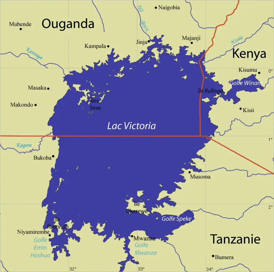
- Vihiga is located about 20 kilometers north of the port city of Kisumu.
Explore nearby
Notable places around
Route planner — Car & Motorhome
Where do you start? We build the route here, with stops and country notes along the way.
© OpenStreetMap contributors · OpenRouteService
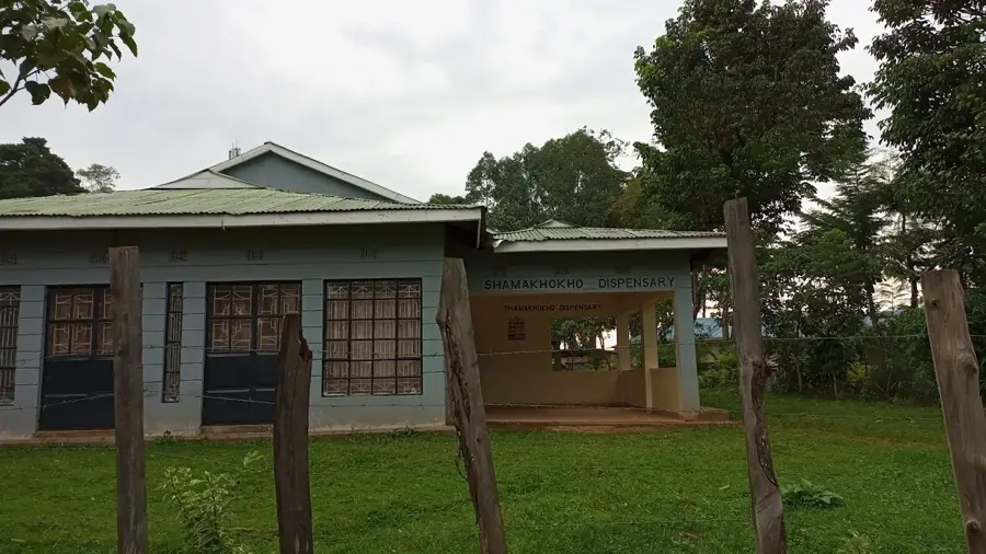
Sights in the town Vihiga (1)
Frequently asked questions
What is special about Vihiga?
What festivals are there?
Is Vihiga densely populated?
What is grown there?
What natural beauties are there?
Vihiga: where is it located?
Vihiga: when is the best time to visit?
Vihiga: why is it worth visiting?

Nearby cities


More places