Plizio Visual Lab
Kariandusi
Weather…
Water temperature…
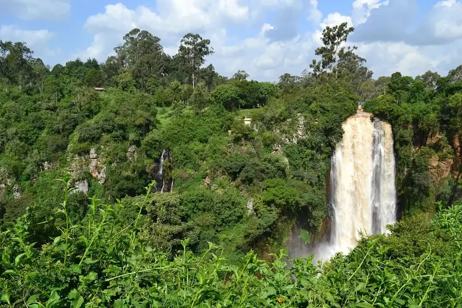
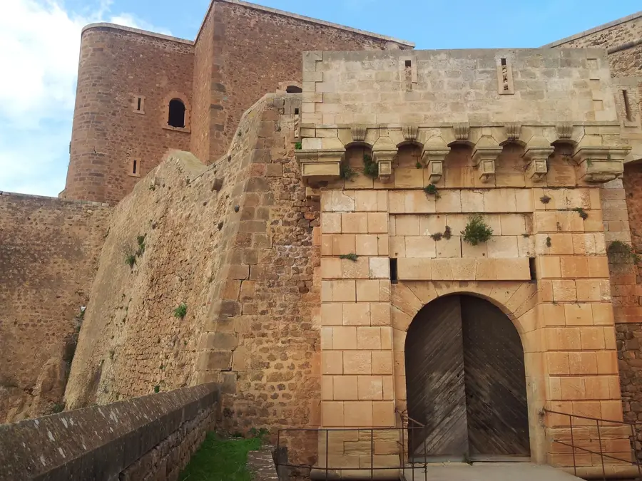
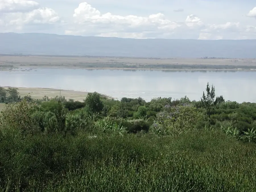
Kariandusi is an important Lower Paleolithic archaeological site located near Lake Elmenteita in the Great Rift Valley of Kenya, dating back approximately 700,000 to 1 million years. Discovered in 1928 by the famous paleoanthropologist Louis Leakey, the site is one of the most significant examples of Acheulean tool-making sites in East Africa. The excavations revealed a vast collection of stone tools, including hand axes and cleavers made from local volcanic obsidian, which were likely used by Homo erectus for various survival tasks. The tools are remarkably well-preserved due to the quick burial by volcanic sediments and the presence of ancient lake beds that once covered the area. Kariandusi provides critical evidence of the transition in stone tool technology and the adaptation of early humans to the diverse landscapes of the Rift Valley. The site features a small museum and guided trails where artifacts can be seen in their original geological context, offering insights into the deep history of human habitation in the region. It remains a key location for understanding the migration patterns and technological innovations of early hominins during the Middle Pleistocene.
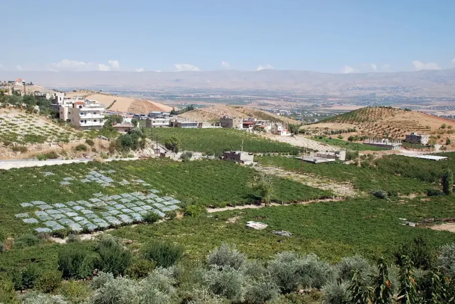
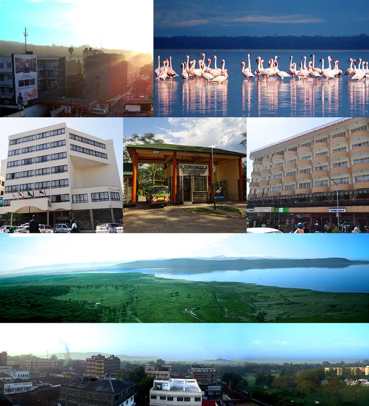
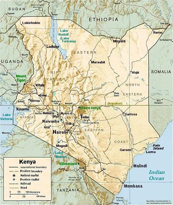
- Location: Kenya
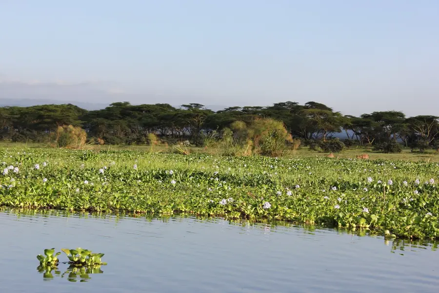
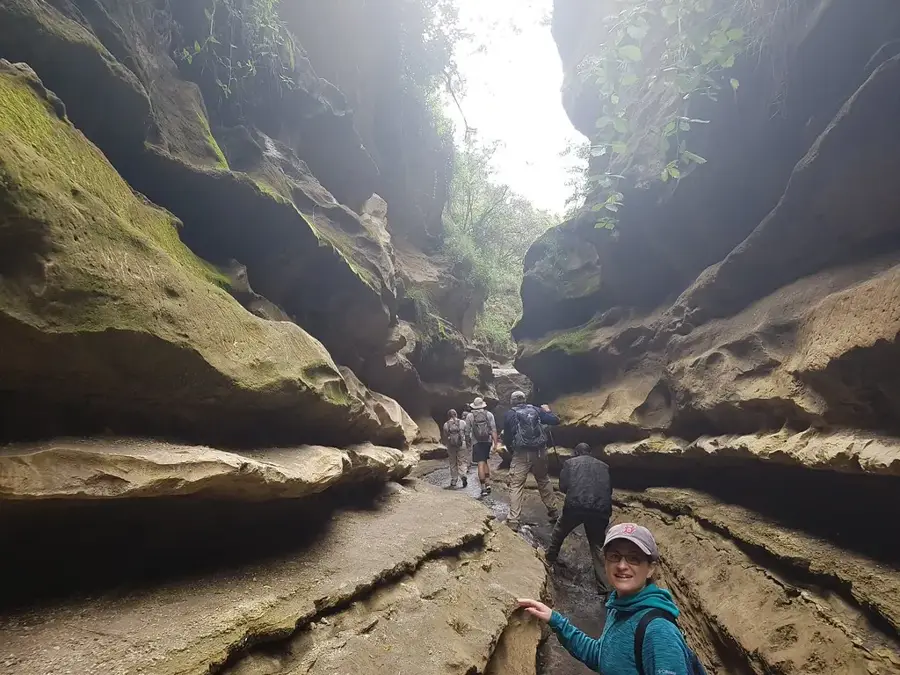
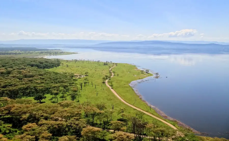
- Top sights: Lake Elementaita Hot Spring · Upper Lake view stp · Birds view stp
- Nearby: Gilgil (7 km)
Best time to visit & climate
The most pleasant time to visit is Jan–Mar.
| Jan | Feb | Mar | Apr | May | Jun | Jul | Aug | Sep | Oct | Nov | Dec | |
|---|---|---|---|---|---|---|---|---|---|---|---|---|
| Avg °C | 16 | 17 | 17 | 16 | 15 | 15 | 14 | 14 | 15 | 16 | 16 | 16 |
| Rain mm | 54 | 39 | 105 | 206 | 149 | 83 | 68 | 89 | 85 | 115 | 146 | 95 |
📋 Practical info
Geography
Facts
- Lower Paleolithic site discovered in 1928 by Louis Leakey.
- Contains Acheulean tools dated to approximately 1 million years ago.
- Features obsidian stone tools, a rare material for the period.
- Located on the basin of the prehistoric Lake Kariandusi.
- Important site for studying the transition to the Middle Stone Age.
- Excavated layers reveal ancient riverbeds and volcanic ash.
Explore nearby
Notable places around
Route planner — Car & Motorhome
Where do you start? We build the route here, with stops and country notes along the way.
© OpenStreetMap contributors · OpenRouteService
Sights in the town Kariandusi (5)
Sights nearby
Frequently asked questions
What is there to see at Kariandusi?
Where is Kariandusi located?
When was the site discovered?
Is there a museum on site?
Is the site suitable for children?
Kariandusi: where is it located?
Kariandusi: what is there to see?
Kariandusi: when is the best time to visit?
Kariandusi: why is it worth visiting?

Nearby cities

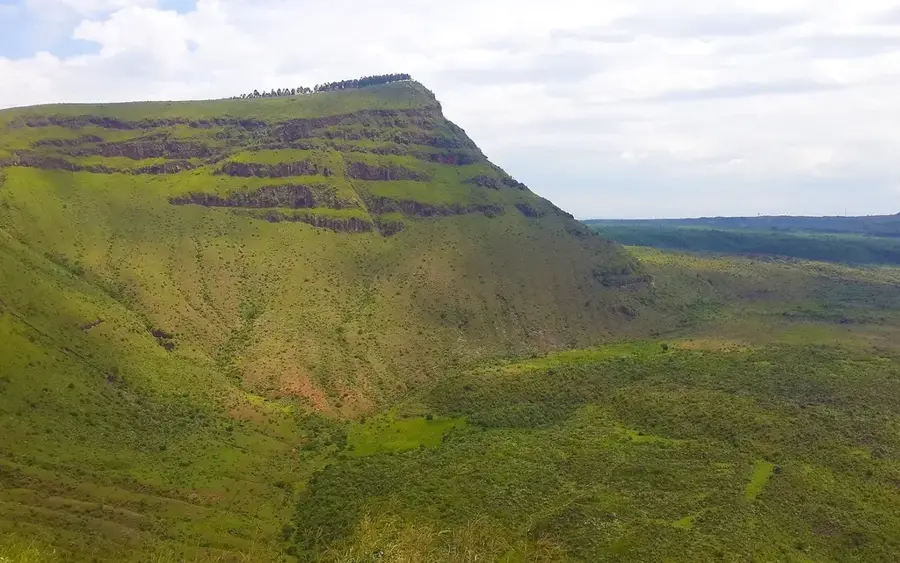
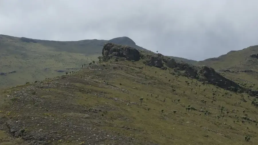
History & landmarks
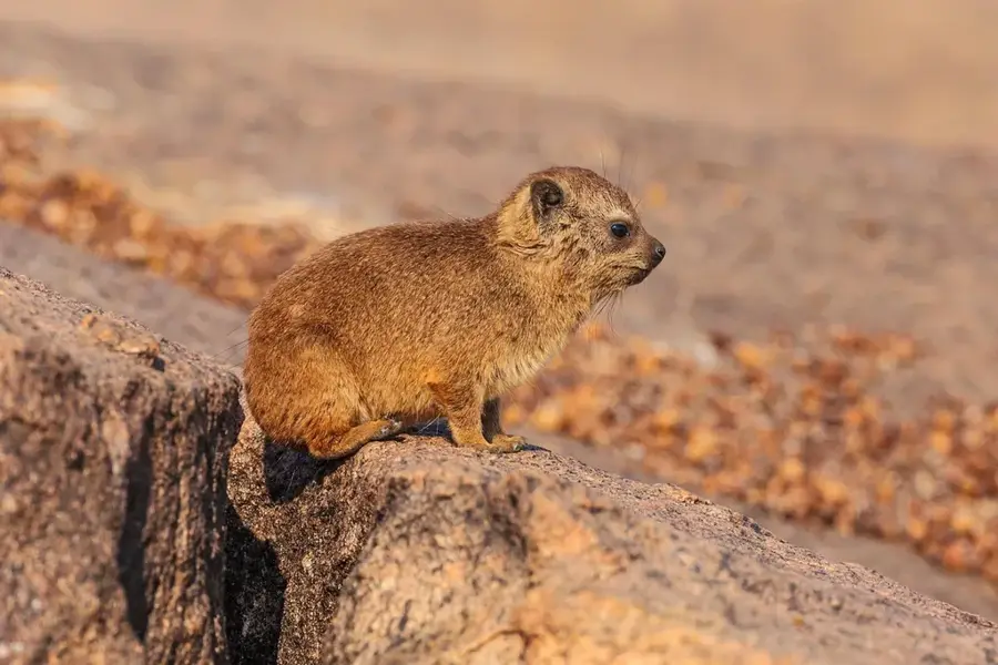
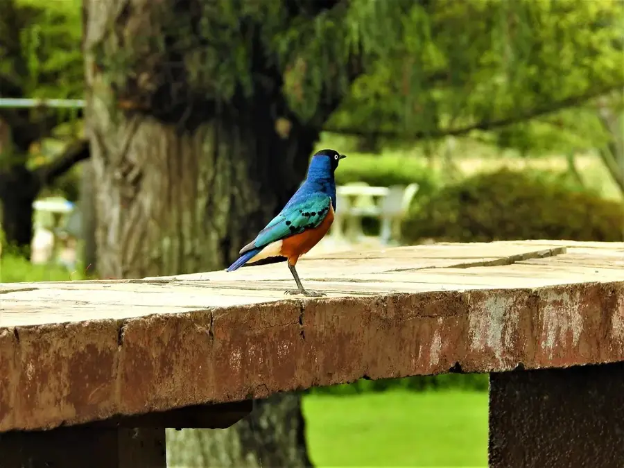
Nature

More places