Plizio Visual Lab
Gilgil
ℹ️Practical info — Gilgil
▾
🌤 Weather — 5 days
📍 Nearby
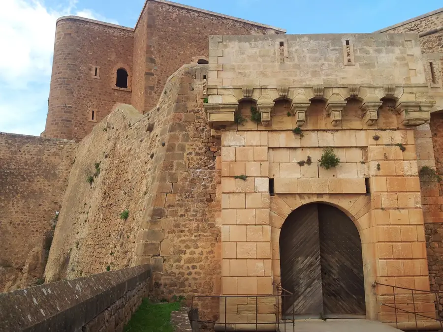
Sights nearby
💡 Tips
- Matatus (minibuses) are the cheapest way to travel, but negotiate the fare before boarding.
- The town serves as a great, less-crowded base for visiting Lake Elmenteita.
- Pack layers, as evenings in the Rift Valley can be surprisingly chilly.
- Visit the local market on market days for a spirited, authentic Kenyan experience.
- Always carry bottled water and stay hydrated during the day.
🍽 Food
Roasted goat meat, best enjoyed with kachumbari at local butchers/eateries.
The classic Kenyan staple, available in any local 'hotel' (small restaurant).
Enjoy sweet, milky tea served hot in small cafes along the main road.
🛍 Shopping · 🧘 Quiet spots
A lively spot to buy fresh produce, spices, and everyday items.
You can occasionally find vendors selling beaded jewelry along the highways.
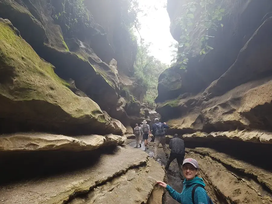
A fascinating, quiet archaeological site just a short drive away.
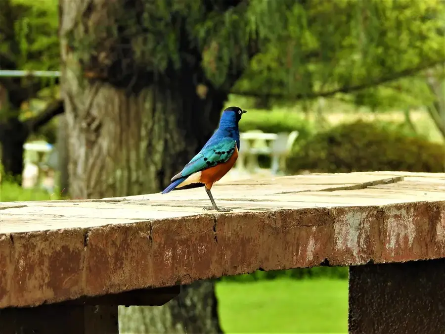
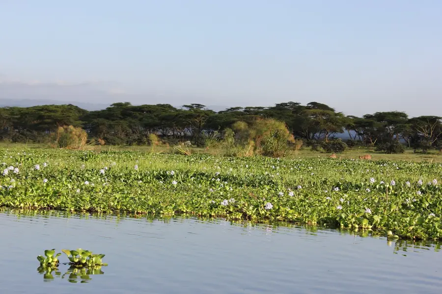
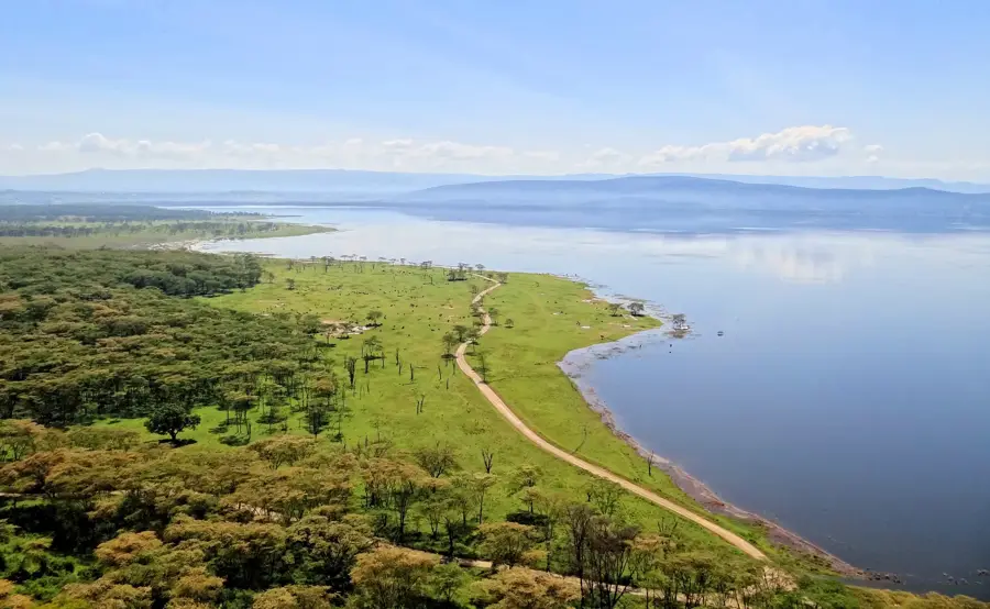
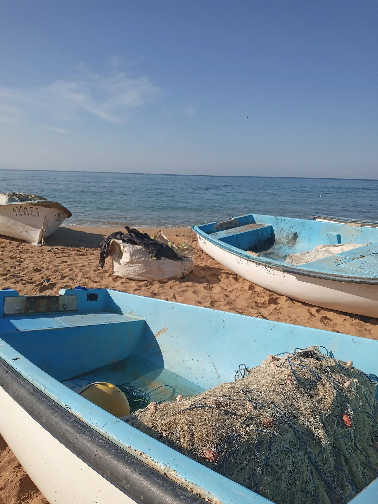
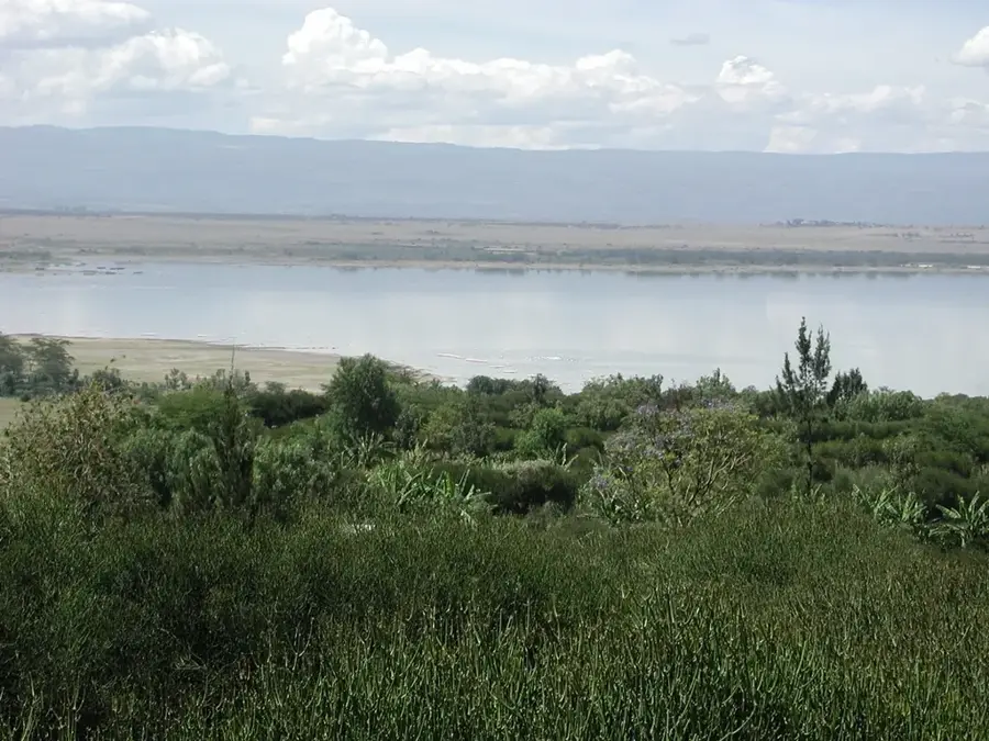
Find a spot overlooking the lake to watch flamingos in peace.
Water temperature…
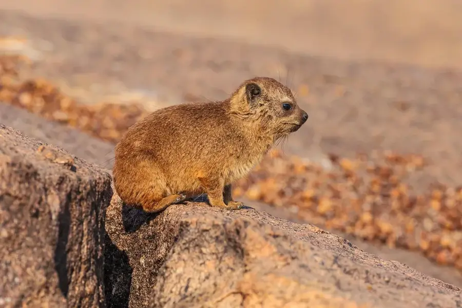
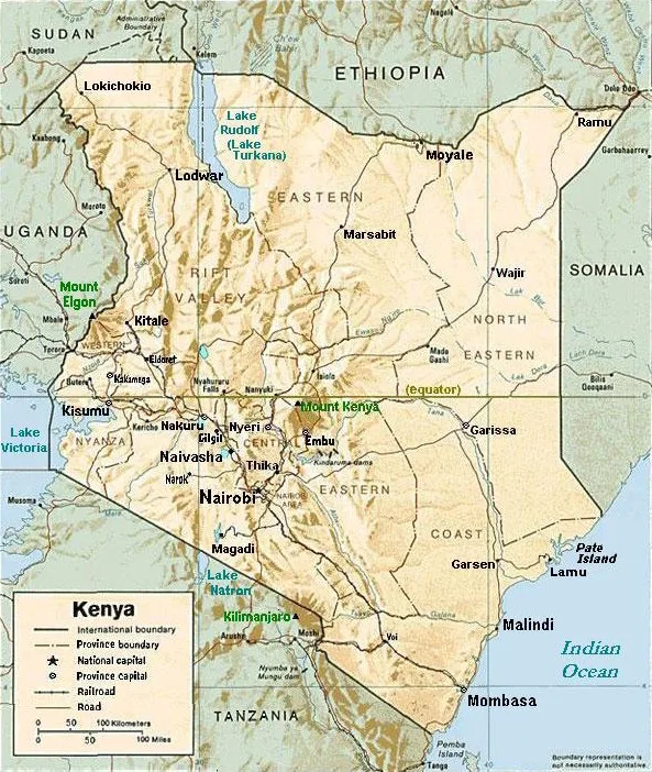
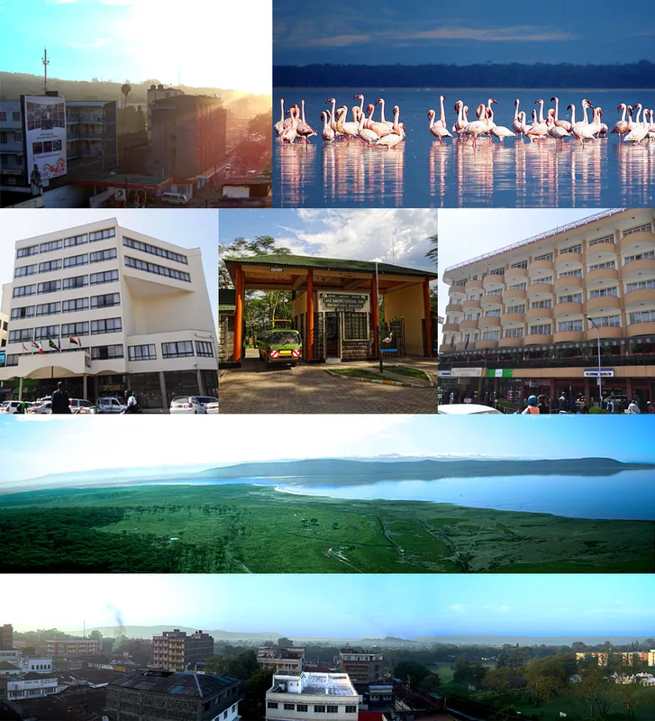
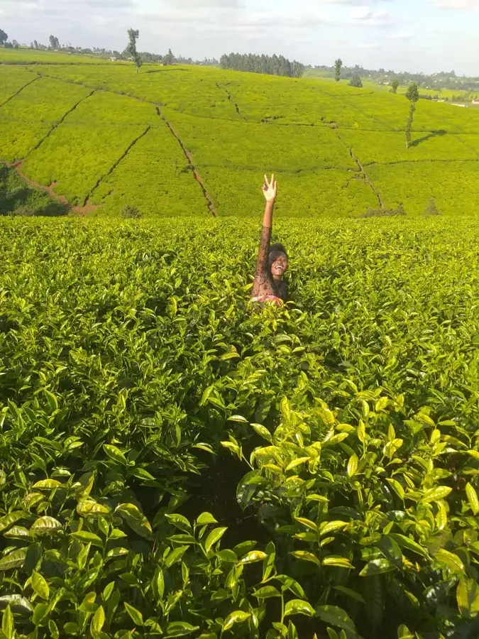
Gilgil is a strategically located town in Nakuru County, situated in the heart of the Great Rift Valley between Naivasha and Nakuru. The town has a prominent military history, housing one of Kenya's largest military bases, which significantly impacts the local economy. Geographically, the area is characterized by dry savannahs and volcanic landscapes where diatomite is mined, serving as a key industrial resource for the region. Historically, Gilgil developed during the colonial era as a stop on the Uganda Railway and a service center for European settlers in the surrounding highlands. Nearby tourist attractions include Lake Elementaita, a UNESCO World Heritage site renowned for its vast flamingo populations. Today, the town is a critical transport hub on the main highway connecting Nairobi to western Kenya. The blend of industry, military presence, and agriculture gives Gilgil a unique socio-economic character within the Rift Valley landscape.
- Location: Kenya
- Nearby: Naivasha (23 km)
- Population: ~60.711 (2024)
Best time to visit & climate
The most pleasant time to visit is Jan–Mar.
| Jan | Feb | Mar | Apr | May | Jun | Jul | Aug | Sep | Oct | Nov | Dec | |
|---|---|---|---|---|---|---|---|---|---|---|---|---|
| Avg °C | 16 | 17 | 17 | 16 | 15 | 15 | 14 | 14 | 15 | 16 | 16 | 16 |
| Rain mm | 54 | 39 | 105 | 206 | 149 | 83 | 68 | 89 | 85 | 115 | 146 | 95 |
Geography
Facts
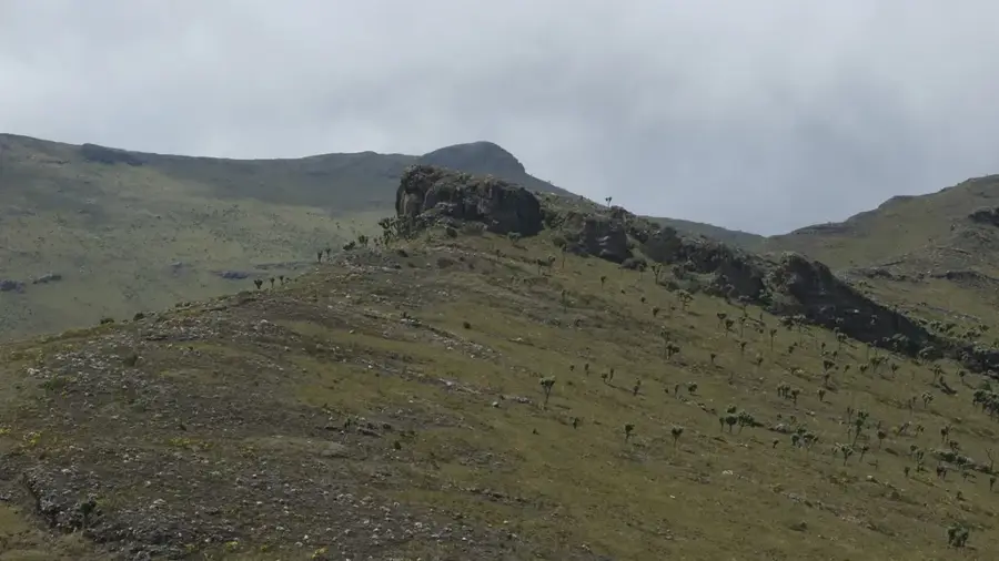
- Gilgil is situated at an elevation of approximately 1,980 meters within the Rift Valley.
- The town is home to African Diatomite Industries, one of the largest such mines in Africa.
- Gilgil hosts significant bases for the Kenya Defence Forces and the General Service Unit.
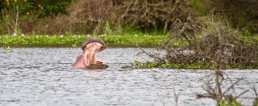
- Lake Elementaita, a critical bird habitat, is located just a few kilometers west of the town.
- The town historically served as an important railway station during the colonial era.
- The Kariandusi Museum nearby showcases prehistoric hand axes and archaeological finds.
Explore nearby
Notable places around
Route planner — Car & Motorhome
Where do you start? We build the route here, with stops and country notes along the way.
© OpenStreetMap contributors · OpenRouteService
Sights in the town Gilgil (1)
Frequently asked questions
What is the most important natural landmark?
Are there museums in Gilgil?
Where exactly is Gilgil located?
What can you do at the lake?
Are there good accommodations?
Gilgil: where is it located?
Gilgil: when is the best time to visit?
Gilgil: why is it worth visiting?

Nearby cities

History & landmarks
Nature

More places