Plizio Visual Lab
Turkana Oil Fields (Ngamia)
Weather…
Water temperature…
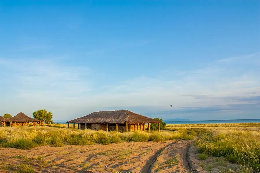
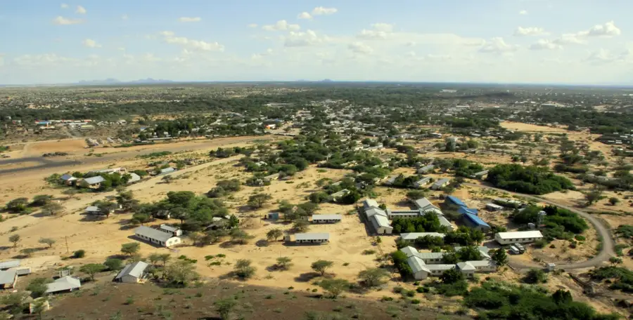
The Turkana Oil Fields, primarily located in the South Lokichar Basin, represent Kenya's emergence as an oil-producing nation. The 2012 discovery of commercial oil at the Ngamia-1 well by Tullow Oil marked a turning point in the country's economic history, placing it on the global energy map. With estimated recoverable reserves of nearly 600 million barrels, the project holds the potential to significantly boost Kenya's GDP and fund major national development initiatives under Vision 2030. In 2018, the Early Oil Pilot Scheme (EOPS) successfully transported crude oil by road to the Port of Mombasa, facilitating Kenya's first ever export of crude oil to international markets. Future full-scale production depends on the construction of the Lokichar-Lamu Crude Oil Pipeline (LLCOP), an 824-kilometer heated pipeline required because the oil is waxy and solidifies at ambient temperatures. While the project has spurred infrastructure development in the arid Turkana region, it continues to navigate complex discussions regarding environmental impact and equitable resource sharing with local communities.
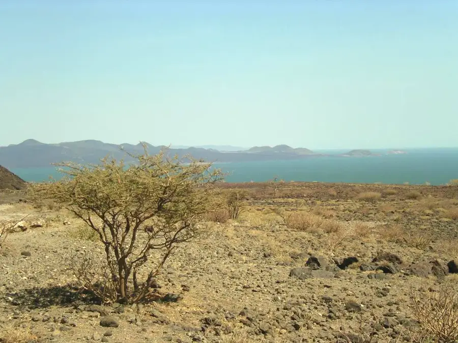
- Location: Kenya
- Nearby: Lodwar (72 km)
Best time to visit & climate
The most pleasant time to visit is Jan, Jun, Jul.
| Jan | Feb | Mar | Apr | May | Jun | Jul | Aug | Sep | Oct | Nov | Dec | |
|---|---|---|---|---|---|---|---|---|---|---|---|---|
| Avg °C | 30 | 31 | 31 | 30 | 30 | 29 | 29 | 29 | 30 | 31 | 29 | 29 |
| Rain mm | 14 | 8 | 30 | 56 | 47 | 21 | 23 | 27 | 15 | 23 | 36 | 28 |
📋 Practical info
Geography
Facts
- Date of discovery: March 2012 (Ngamia-1 well)
- Primary operator: Tullow Oil
- Estimated recoverable reserves: ~560 million barrels
- Early Oil Pilot Scheme start: June 2018
- Planned pipeline length: 824 km (512 miles)
- Crude oil characteristics: High wax content (solidifies at room temperature)
Explore nearby
Notable places around
Route planner — Car & Motorhome
Where do you start? We build the route here, with stops and country notes along the way.
© OpenStreetMap contributors · OpenRouteService
Sights nearby
Frequently asked questions
Where are the Turkana oil fields located?
Can you visit the oil fields?
What impact does the oil have on Kenya?
What is Ngamia-1?
What is the climate like in the Turkana region?
Turkana Oil Fields (Ngamia): where is it located?
Turkana Oil Fields (Ngamia): when is the best time to visit?
Turkana Oil Fields (Ngamia): why is it worth visiting?

Nearby cities

History & landmarks
More places