Plizio Visual Lab
Aïn Defla
ℹ️Practical info — Aïn Defla
▾
🌤 Weather — 5 days
📍 Nearby
Sights nearby
💡 Tips
- Explore the local markets early in the morning for the freshest produce from the Cheliff Valley.
- The summer heat can be intense; plan outdoor activities for the early morning or late afternoon.
- Taxis are the most convenient way to get around; agree on a fare before starting your journey.
- Respect local customs by dressing modestly, especially outside the main commercial areas.
🍽 Food
Ask for traditional couscous at local eateries in the city center.
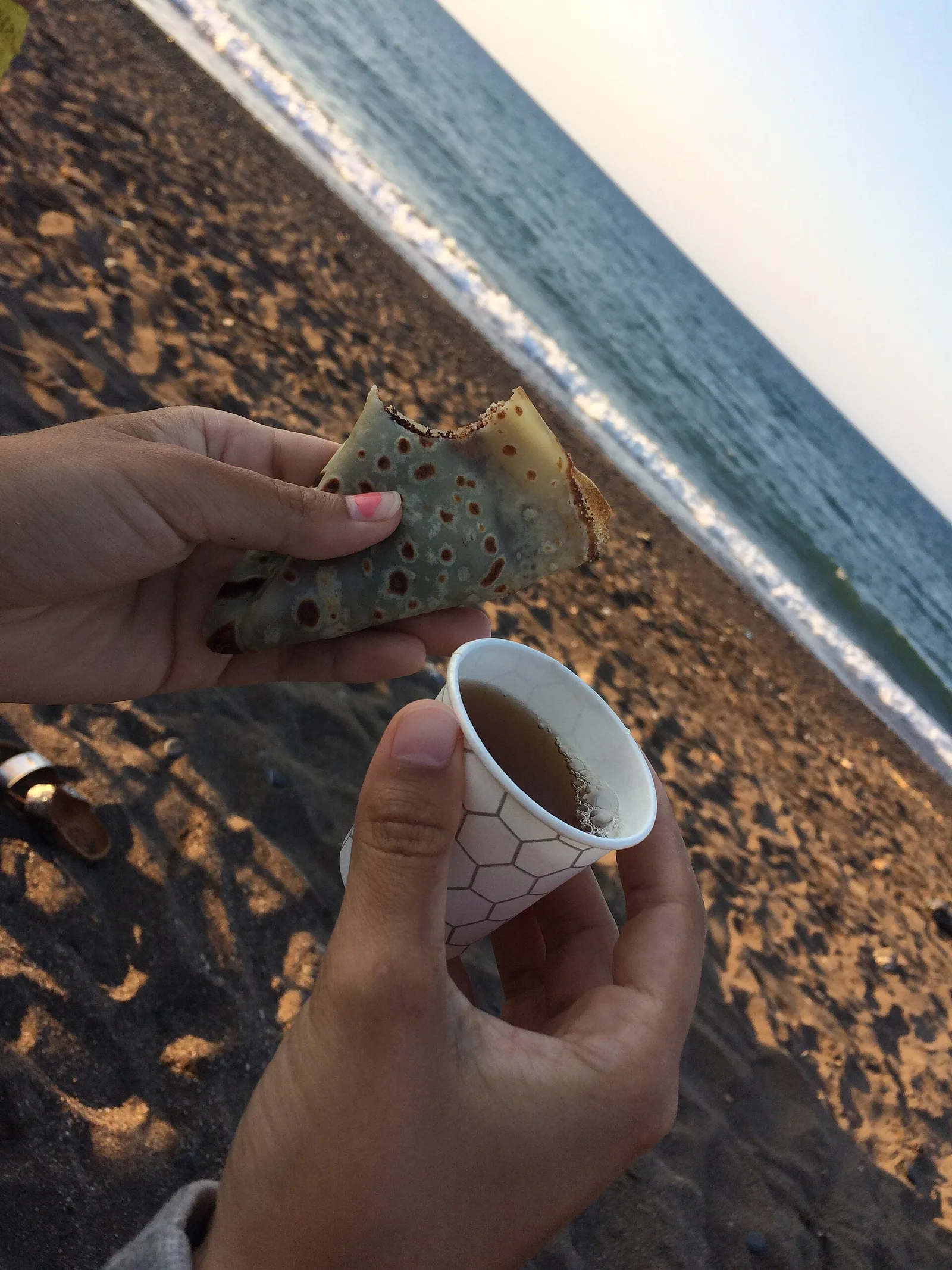
A traditional flatbread found at local bakeries.
Enjoy at a traditional cafe near the main square.
🛍 Shopping · 🧘 Quiet spots
The best place to buy fresh fruits and vegetables from the surrounding valley.
Look for small shops selling handmade pottery and woven goods.
A peaceful spot for a walk just outside the bustling city center.
Take a quiet stroll along the edges of the citrus and fruit orchards.
Water temperature…
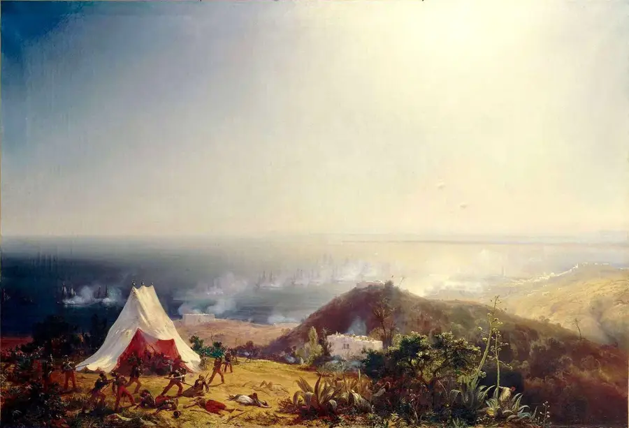
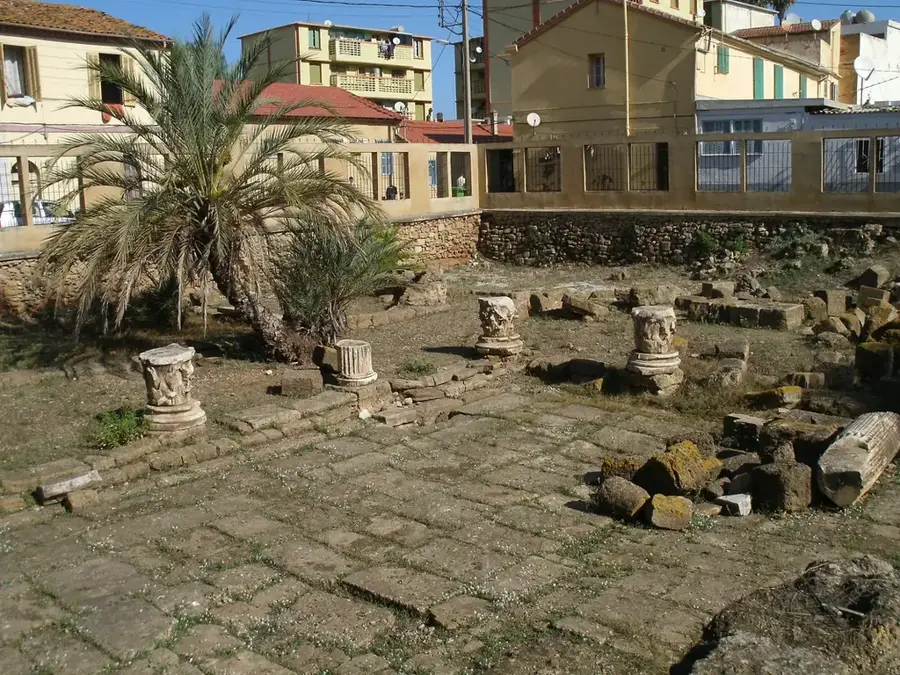
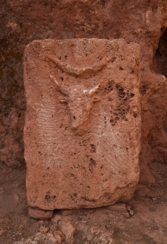
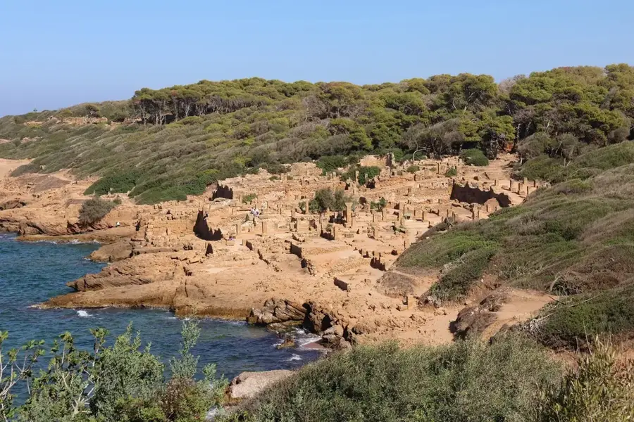
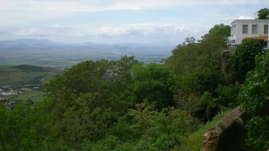
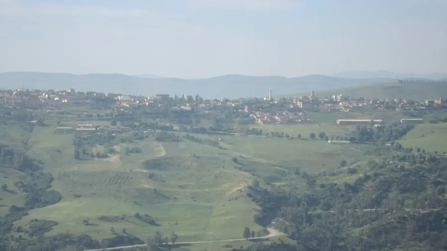
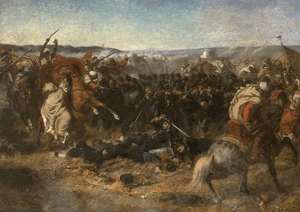
Aïn Defla is the capital of the province of the same name, strategically located in the Chelif Valley between the Dahra Massif to the north and the Ouarsenis Mountains to the south. The city is home to a long history dating back to Roman antiquity, when it was known as Oppidum Novum. This historic settlement served as a vital outpost for monitoring the fertile plains along the Chelif River. Today, Aïn Defla is one of Algeria's premier agricultural hubs, famous for its large-scale production of potatoes, cereals, and fruits. The region's productivity is supported by extensive irrigation systems fed by nearby reservoirs such as the Ghrib Dam. In addition to agriculture, the city is increasingly becoming an industrial center for food processing. Its location on the main railway line and the A1 highway connecting Algiers and Oran provides Aïn Defla with excellent logistical advantages.
- Location: Algeria
- Top sights: Youth House of Aïn Defla · Maison de culture Emir Abdelkader · Ibn Badis House of Culture
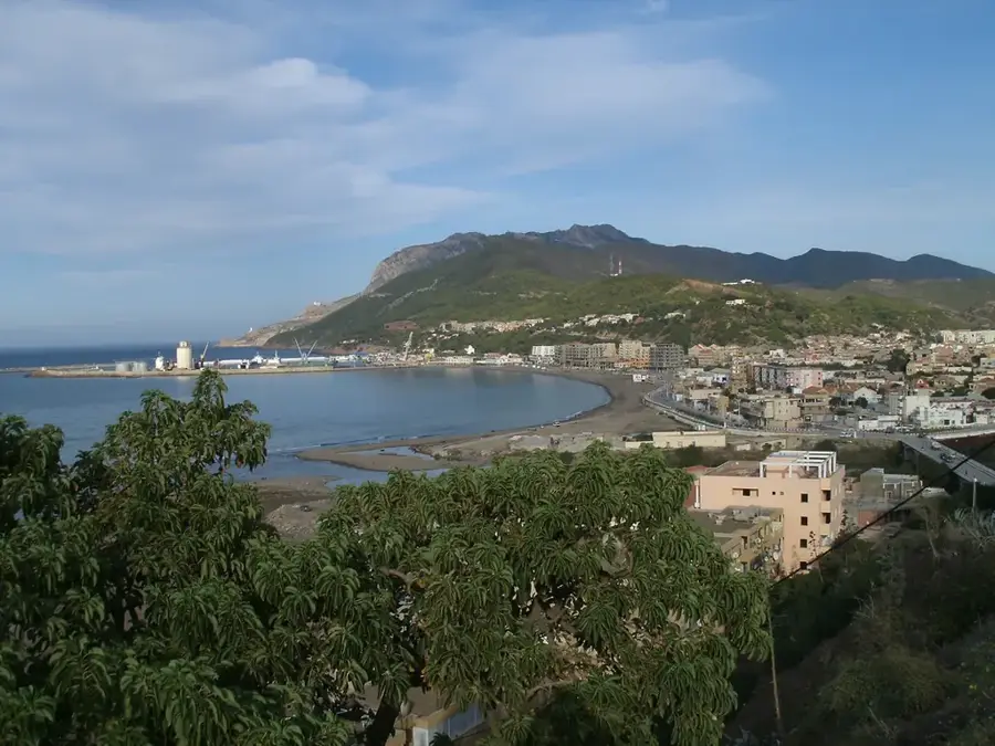
- Nearby: Khemis Miliana (23 km)
- Population: ~55.259 (2026)
Best time to visit & climate
The most pleasant time to visit is Jun, Sep, Oct.
| Jan | Feb | Mar | Apr | May | Jun | Jul | Aug | Sep | Oct | Nov | Dec | |
|---|---|---|---|---|---|---|---|---|---|---|---|---|
| Avg °C | 11 | 11 | 13 | 16 | 19 | 23 | 27 | 27 | 24 | 20 | 15 | 12 |
| Rain mm | 67 | 58 | 54 | 51 | 34 | 11 | 3 | 9 | 26 | 43 | 77 | 62 |
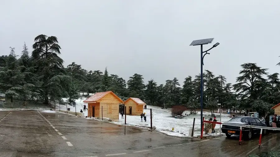
Geography
Facts
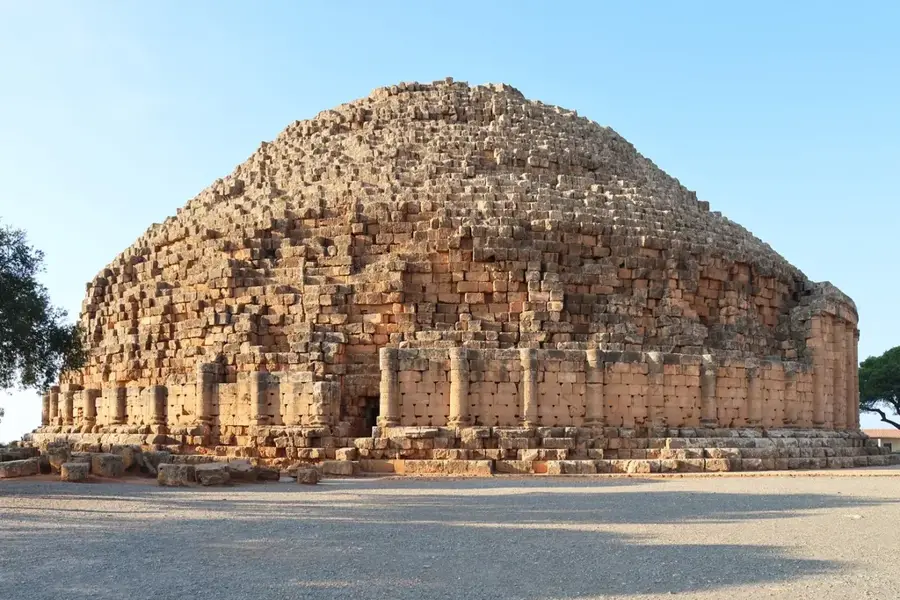
- In Roman antiquity, the city was known as Oppidum Novum.
- Aïn Defla is Algeria's leading center for potato cultivation.
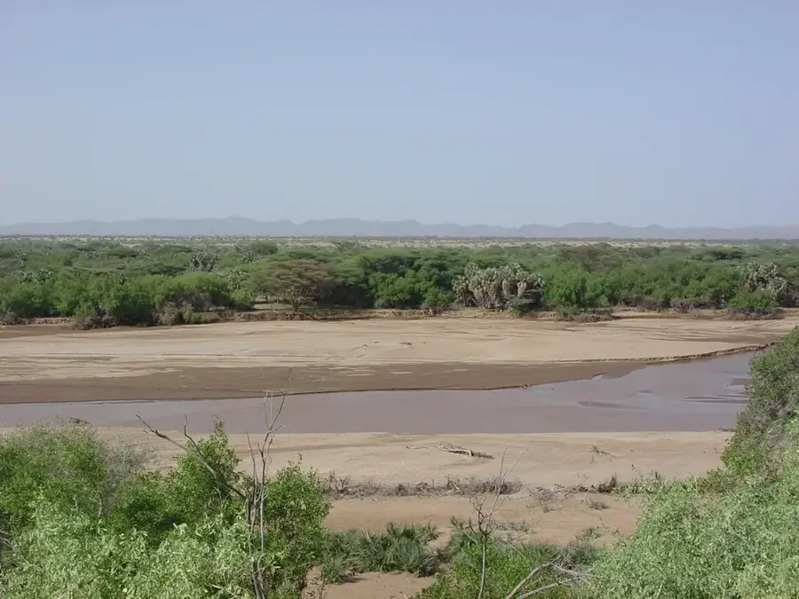
- The city is located in the fertile valley of the Chelif River.
- The nearby Ghrib Dam provides vital irrigation for the region.
- Aïn Defla is situated along the East-West Highway (A1).
- The province was officially established during the 1984 reform.
Explore nearby
Notable places around
Route planner — Car & Motorhome
Where do you start? We build the route here, with stops and country notes along the way.
© OpenStreetMap contributors · OpenRouteService
Sights in the town Aïn Defla (3)
Frequently asked questions
What is the historical significance of Aïn Defla?
What is the city economically known for?
Are there thermal springs?
How to reach Miliana from there?
Which season is best?
Aïn Defla: where is it located?
Aïn Defla: what is there to see?
Aïn Defla: when is the best time to visit?
Aïn Defla: why is it worth visiting?

Nearby cities

History & landmarks
Nature
More places