Plizio Visual Lab
Zvulun Valley
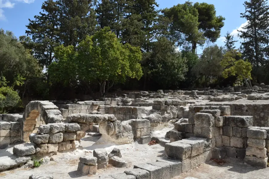
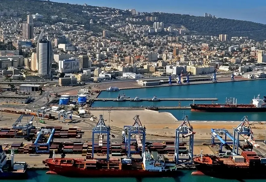
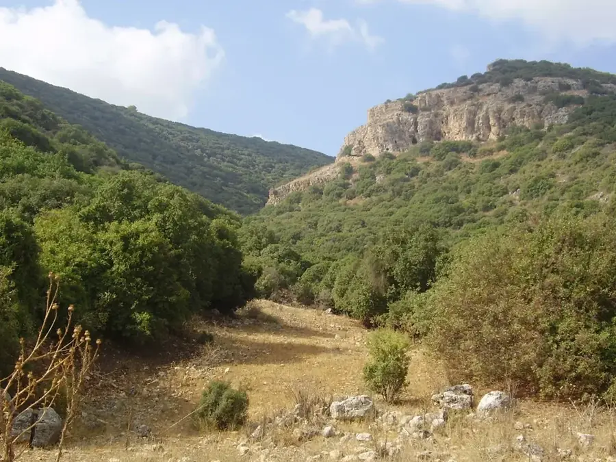
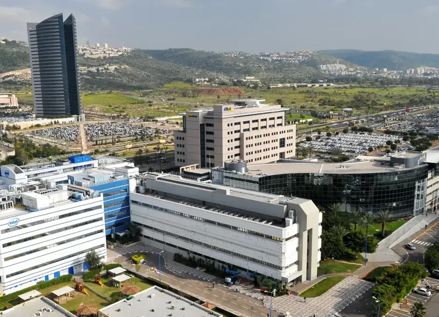
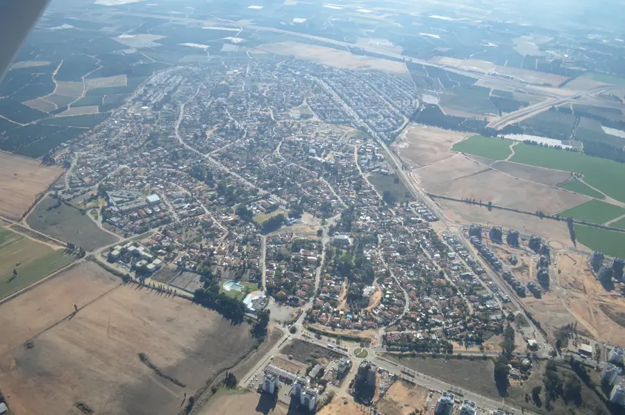
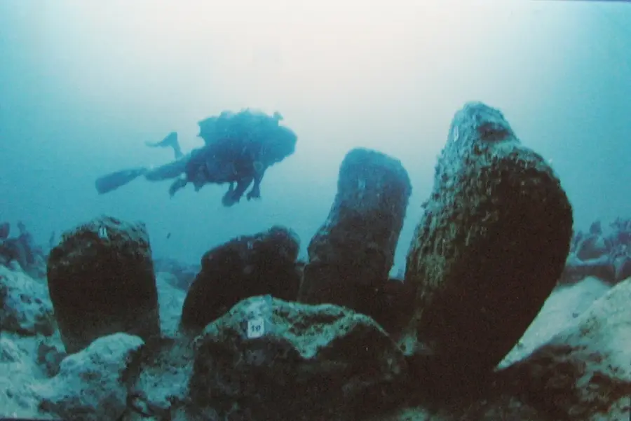
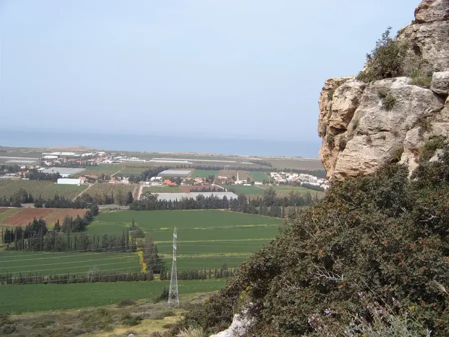
The Zvulun Valley is a coastal plain in northern Israel, spanning approximately 140 square kilometers between the cities of Haifa and Acre. It is bounded by the Haifa Bay to the west and the Galilee hills to the east, with the Kishon and Na'aman rivers serving as its primary drainage systems. Historically, much of the valley was covered by malaria-infested swamps until extensive drainage projects were undertaken by Jewish pioneers in the early 20th century. Today, the valley is a dual-purpose region, hosting Israel's heavy industrial core, including the Haifa oil refineries, alongside thriving agricultural communities. The fertile alluvial soils support intensive farming of vegetables and citrus fruits. Archaeological evidence from sites like Tell Abu Hawam indicates that the valley has been a strategic maritime and trade hub since the Late Bronze Age.
- Location: Israel
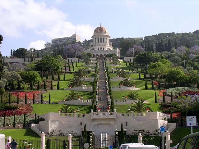
- Top sights: HaTsafon Theatre · Yamit Beach · Tel Da`ok
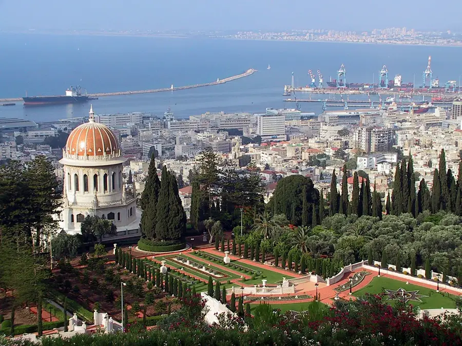
- Nearby: Haifa (11 km)
Best time to visit & climate
The most pleasant time to visit is May, Jun, Oct.
| Jan | Feb | Mar | Apr | May | Jun | Jul | Aug | Sep | Oct | Nov | Dec | |
|---|---|---|---|---|---|---|---|---|---|---|---|---|
| Avg °C | 14 | 14 | 16 | 18 | 21 | 24 | 26 | 27 | 26 | 24 | 20 | 16 |
| Rain mm | 130 | 103 | 59 | 29 | 12 | 5 | 3 | 2 | 5 | 28 | 67 | 115 |
📋 Practical info
Geography
Facts
- The valley covers a total area of approximately 140 km².
- It is situated between Haifa Bay and the Galilee mountains.
- The Kishon and Na'aman rivers provide drainage for the area.
- Historically, the swamps were drained starting in the 1920s.
- The region hosts Israel's largest oil refinery complexes.
- Archaeological finds at Tell Abu Hawam date back to the Bronze Age.
Explore nearby
Notable places around
Route planner — Car & Motorhome
Where do you start? We build the route here, with stops and country notes along the way.
© OpenStreetMap contributors · OpenRouteService
Sights in the town Zvulun Valley (13)
Sights nearby
Frequently asked questions
Where is the Zvulun Valley located?
What is this region known for?
Which rivers flow through the valley?
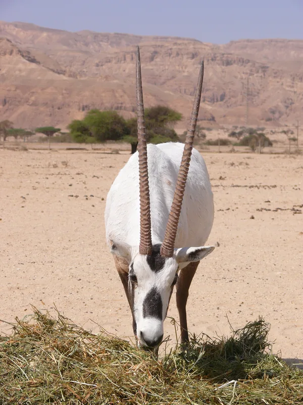
Are there opportunities for bird watching?
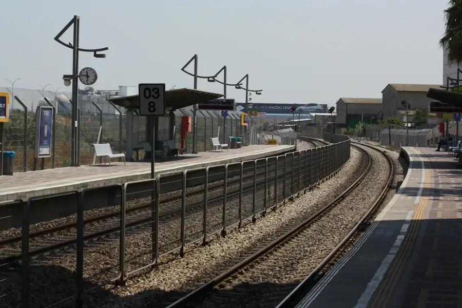
How is the transport connection in the valley?
Zvulun Valley: where is it located?
Zvulun Valley: what is there to see?
Zvulun Valley: when is the best time to visit?
Zvulun Valley: why is it worth visiting?

Nearby cities
Nature
More places