Plizio Visual Lab
Arava Valley
Weather…
Water temperature…
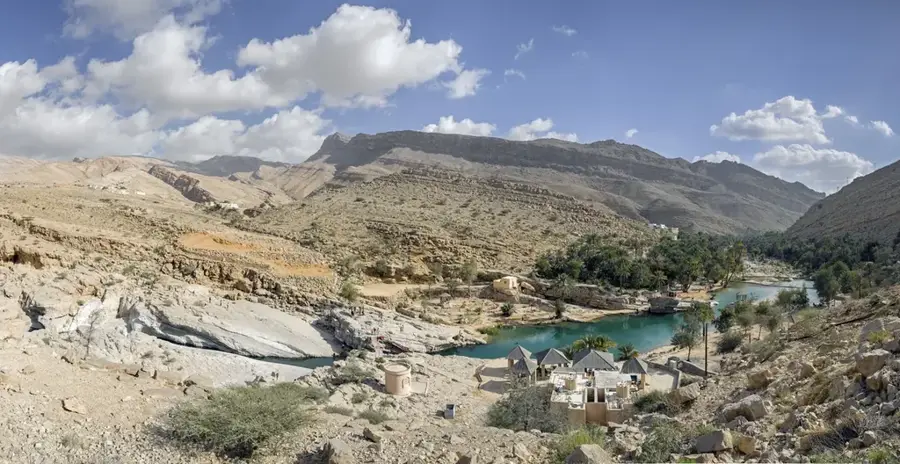
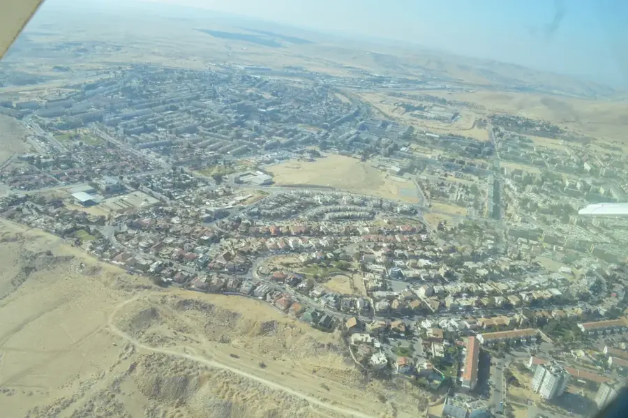
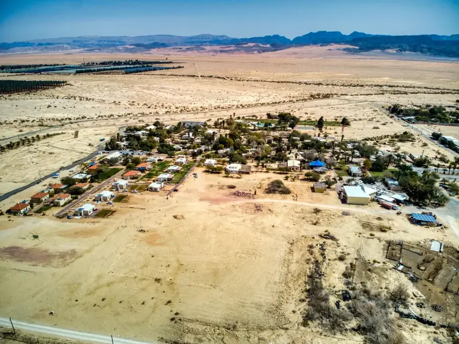
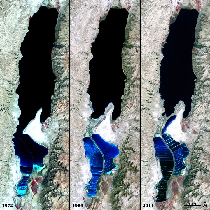
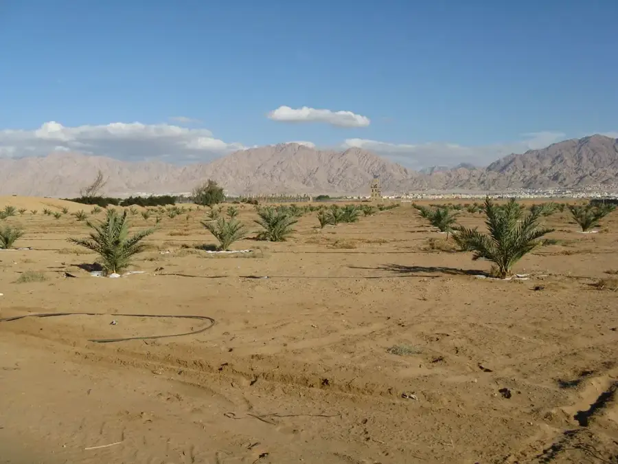
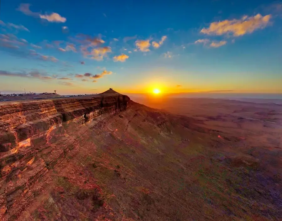
The Arava Valley is a 166-kilometer-long segment of the Great Rift Valley, stretching from the southern tip of the Dead Sea to the Gulf of Aqaba on the Red Sea. This hyper-arid region forms the international border between Israel and Jordan, characterized by extremely low rainfall and scorching summer temperatures. The landscape is dominated by expansive alluvial fans, shifting sand dunes, and stark mountain ridges displaying deep reds and ocher hues. Despite the harsh environment, the Arava has become a global leader in arid-land agriculture; using saline groundwater and advanced greenhouse technology, the region produces a significant portion of Israel's fresh vegetable exports. Historically, the valley was a hub for copper mining, particularly at Timna, home to the world's oldest known copper smelting furnaces. Ecologically, the valley serves as a crucial flyway for millions of migratory birds traveling between Eurasia and Africa, and it hosts the Hai-Bar Yotvata sanctuary dedicated to preserving desert wildlife like the Arabian oryx.
- Location: Israel
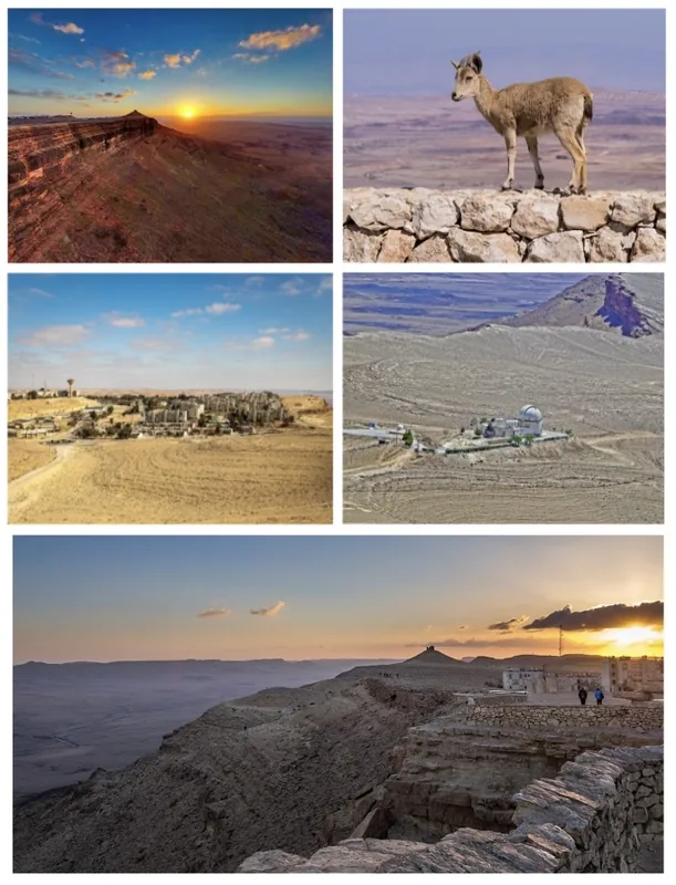
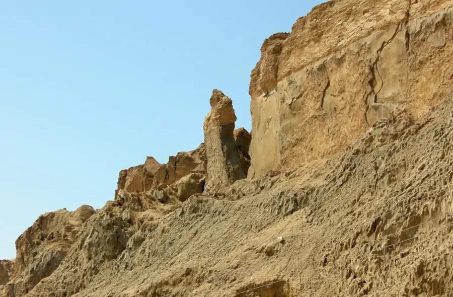
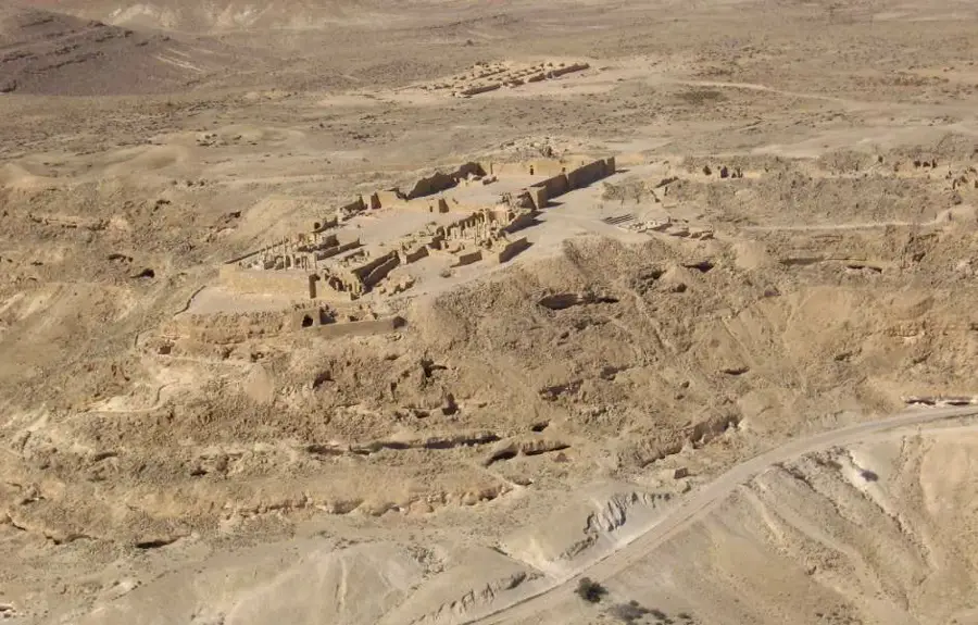
- Top sights: Moah Fortress · Israel Trail Library · Jibal Jurf al Fuhud
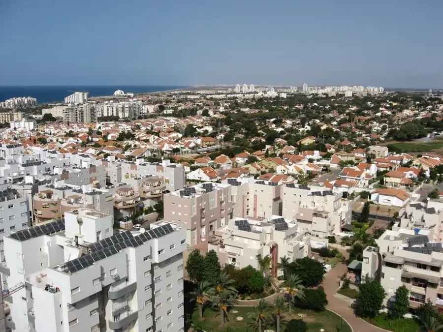
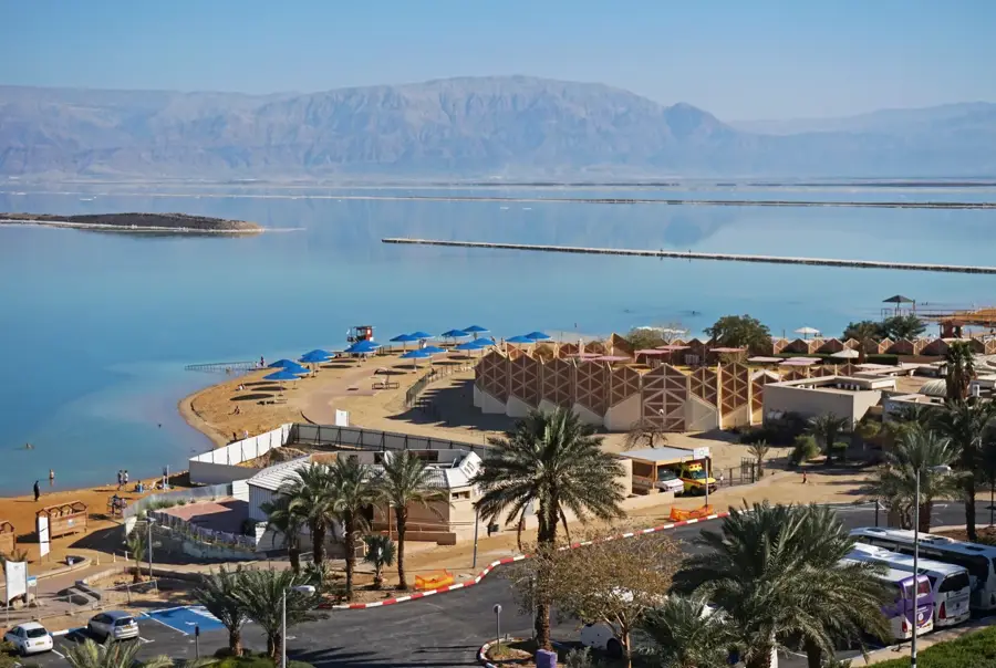
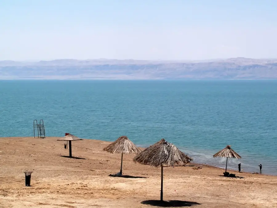
- Nearby: Dead Sea (Ein Bokek) (65 km)
Best time to visit & climate
The most pleasant time to visit is May, Jun, Sep.
| Jan | Feb | Mar | Apr | May | Jun | Jul | Aug | Sep | Oct | Nov | Dec | |
|---|---|---|---|---|---|---|---|---|---|---|---|---|
| Avg °C | 6 | 8 | 11 | 15 | 20 | 23 | 25 | 25 | 23 | 19 | 13 | 8 |
| Rain mm | 45 | 36 | 19 | 10 | 4 | 0 | 0 | 0 | 1 | 7 | 15 | 26 |
📋 Practical info
Geography
Facts
- The valley spans 166 kilometers from the Dead Sea to the Red Sea.
- Summer temperatures in the Arava are among the highest in Israel.
- It provides over 60% of Israel's exported fresh vegetables.
- The Timna Valley contains copper mines dating back to the 5th millennium BCE.
- The region is home to the last remaining sand dunes in the Arava (Samar).
- It is a critical part of the Syro-African migratory bird route.
Explore nearby
Notable places around
Route planner — Car & Motorhome
Where do you start? We build the route here, with stops and country notes along the way.
© OpenStreetMap contributors · OpenRouteService
Sights in the town Arava Valley (4)
Sights nearby
Frequently asked questions
What is the climate like in the Arava Valley?
Where exactly is this region located?
Is there agriculture in this extreme desert?
What is Timna Park?
Can you see wildlife?
Arava Valley: where is it located?
Arava Valley: what is there to see?
Arava Valley: when is the best time to visit?
Arava Valley: why is it worth visiting?

Nearby cities


History & landmarks
Nature
More places