Plizio Visual Lab
Paran Valley
Weather…
Water temperature…
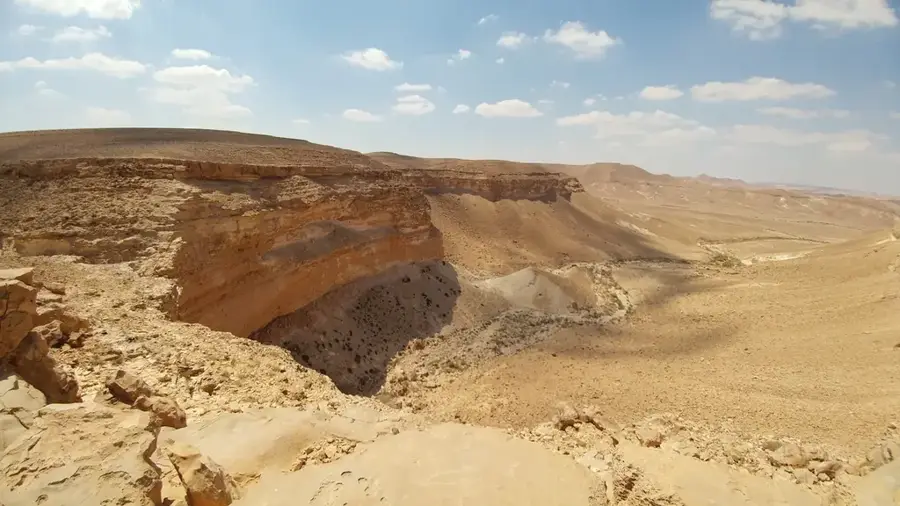
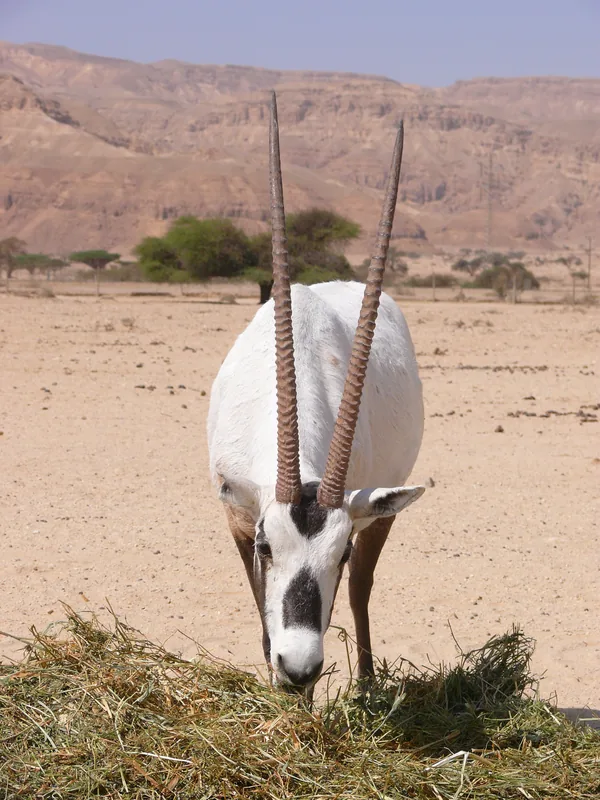
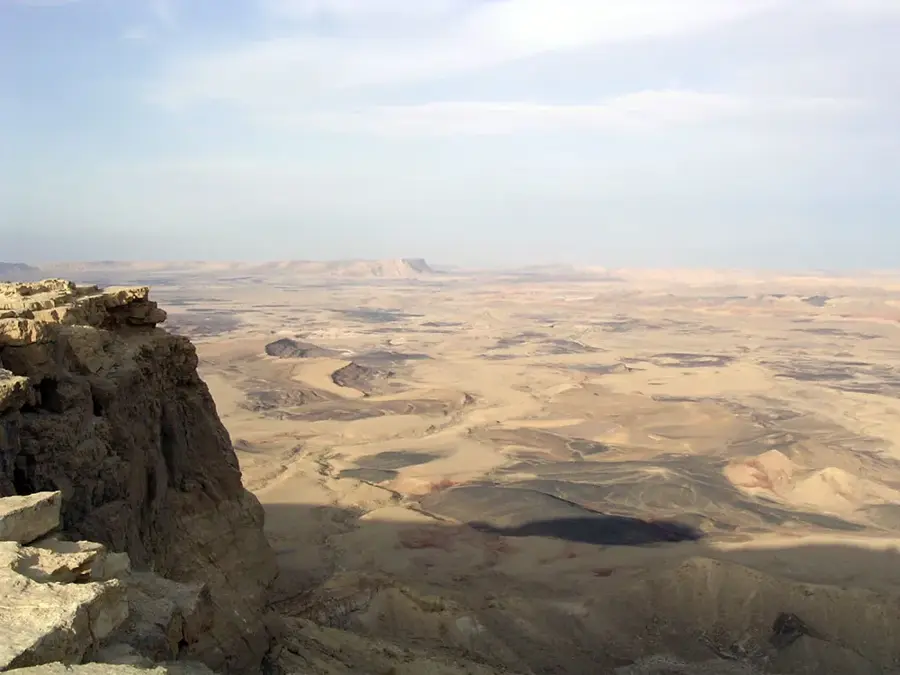
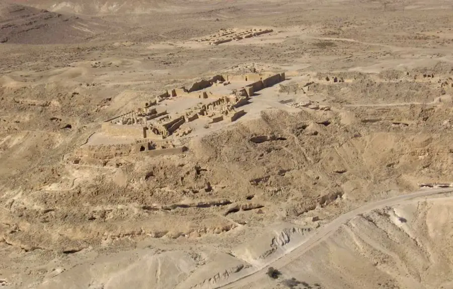
The Paran Valley, dominated by the Nahal Paran wadi, is the largest ephemeral riverbed in Israel and the Sinai Peninsula, stretching approximately 150 kilometers. It originates in the central Sinai of Egypt and flows northeast across the Negev Desert before eventually draining into the Arabah Valley. The valley is characterized by its wide erosional plains and deep limestone formations, carved over millions of years by seasonal flash floods. Geologically, it is part of the larger Syrian-African Rift system, which is reflected in its complex sedimentary layers. Historically, the Paran Valley served as a crucial route for ancient caravans and is frequently mentioned in biblical texts as part of the Wilderness of Paran. Despite the extreme aridity, the valley today acts as a vital ecological corridor for desert wildlife and remains a key site for geological research.
- Location: Israel
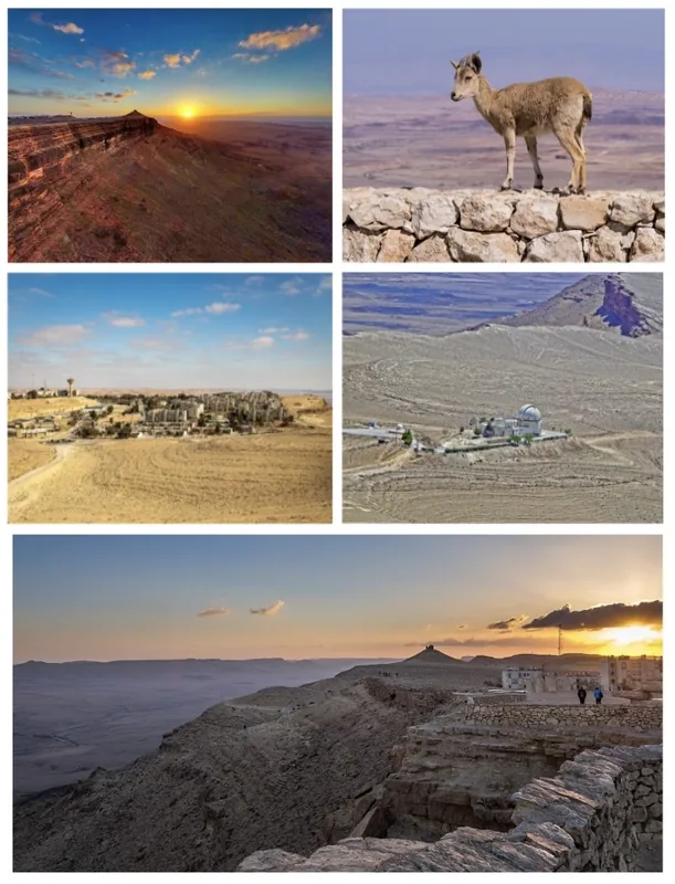
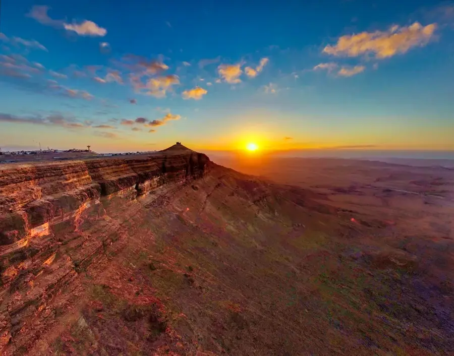
- Top sights: Hemda Peak · Nahal Wardit · Tsihor palace
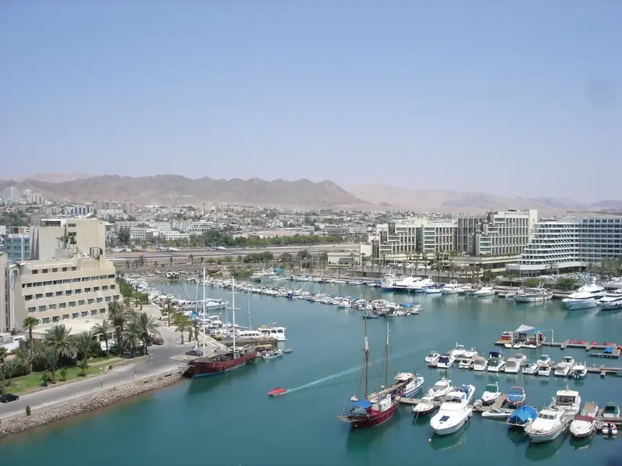
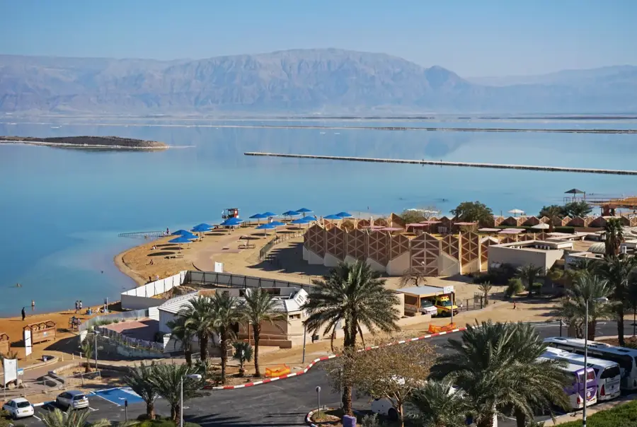
- Nearby: Eilat (70 km)
Best time to visit & climate
The most pleasant time to visit is Apr, May, Oct.
| Jan | Feb | Mar | Apr | May | Jun | Jul | Aug | Sep | Oct | Nov | Dec | |
|---|---|---|---|---|---|---|---|---|---|---|---|---|
| Avg °C | 11 | 12 | 16 | 20 | 24 | 27 | 29 | 29 | 26 | 23 | 18 | 13 |
| Rain mm | 35 | 28 | 15 | 10 | 3 | 0 | 0 | 0 | 2 | 7 | 14 | 20 |
📋 Practical info
Geography
Facts
- The valley is the longest wadi in Israel at 150 kilometers.
- Its drainage basin covers an area of more than 3,800 km².
- The headwaters of Nahal Paran are located in the Sinai Peninsula.
- The valley drains into the Arabah south of the Dead Sea.
- Seasonal flash floods can cause water levels to rise dramatically.
- The Wilderness of Paran is mentioned multiple times in the Bible.
Explore nearby
Notable places around
Route planner — Car & Motorhome
Where do you start? We build the route here, with stops and country notes along the way.
© OpenStreetMap contributors · OpenRouteService
Sights in the town Paran Valley (5)
Sights nearby
Frequently asked questions
How large is the Paran Valley?
Can you camp in the Paran Valley?
What are the geological features?
When should you avoid the valley?
What ancient routes passed through here?
Paran Valley: where is it located?
Paran Valley: what is there to see?
Paran Valley: when is the best time to visit?
Paran Valley: why is it worth visiting?

Nearby cities

History & landmarks
Nature
More places