Plizio Visual Lab
Sharah Mountains
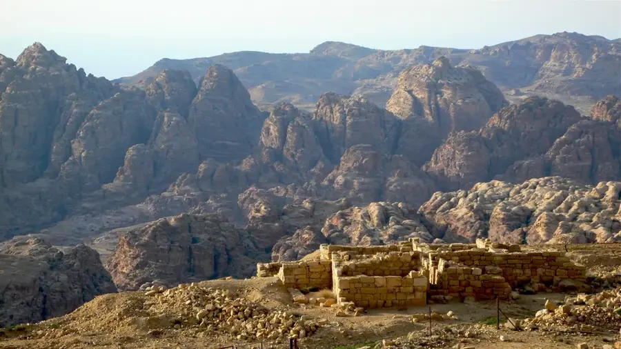
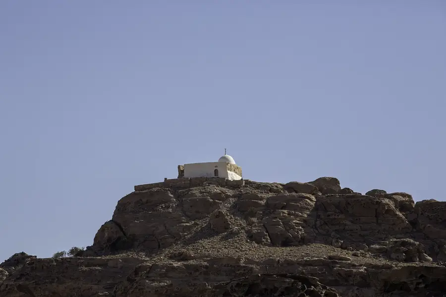
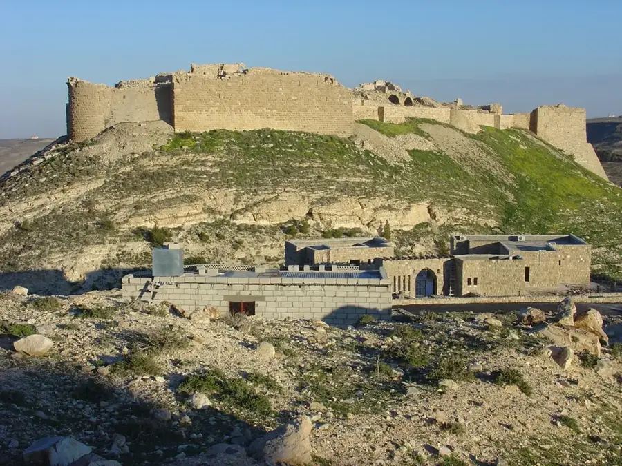
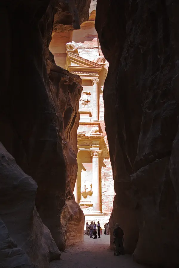
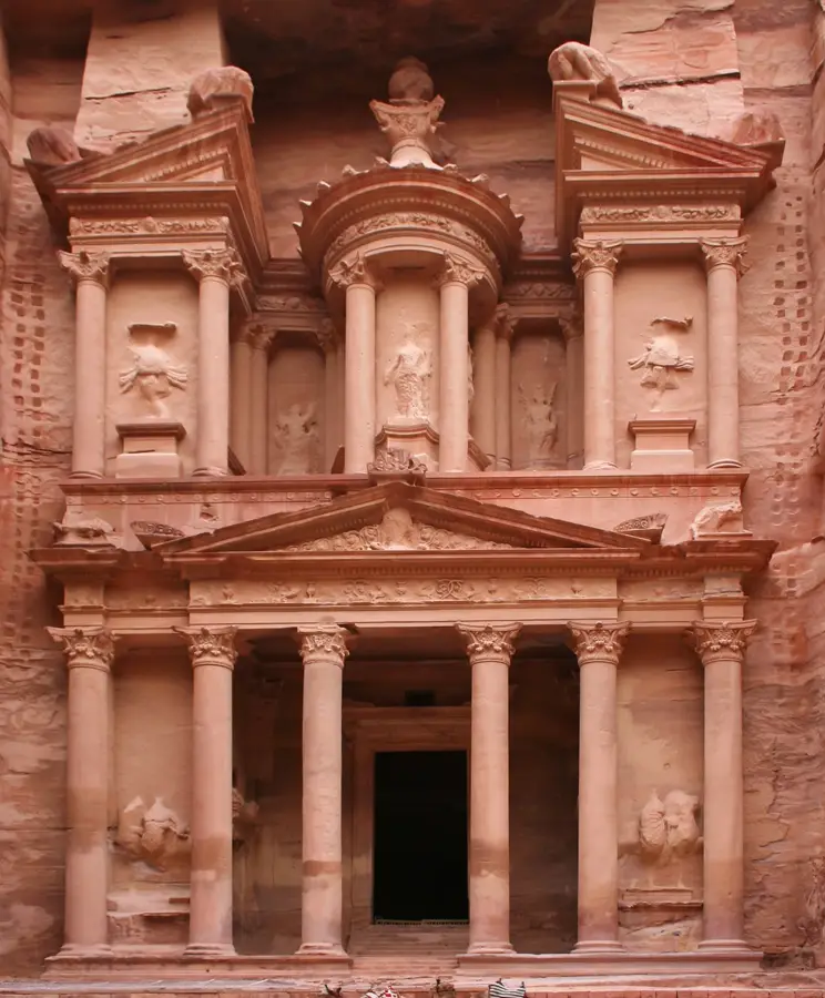
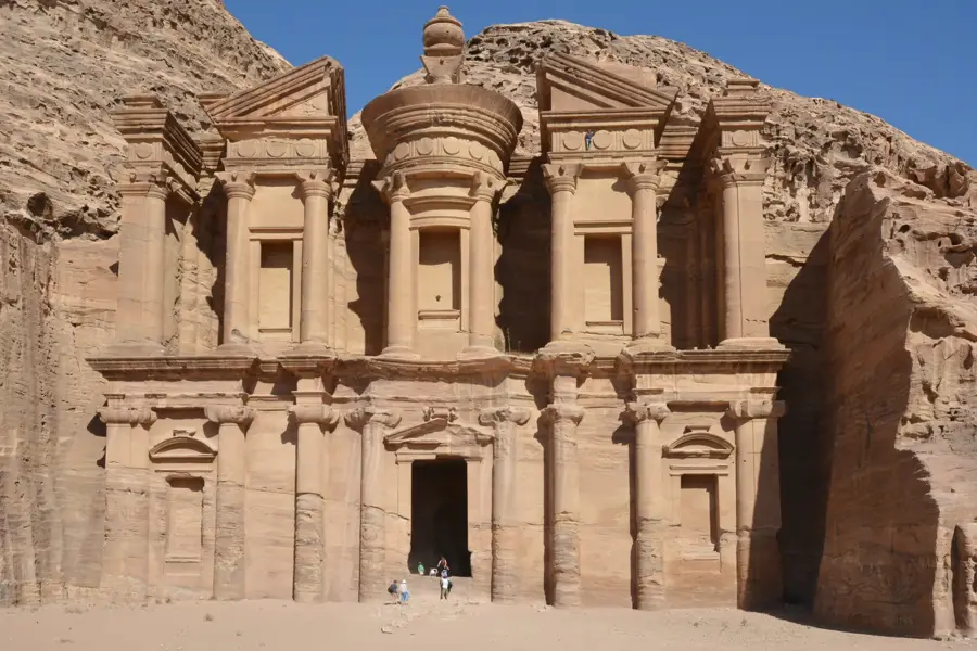
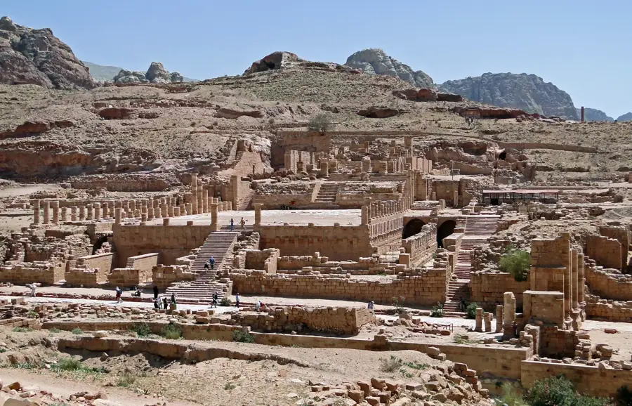
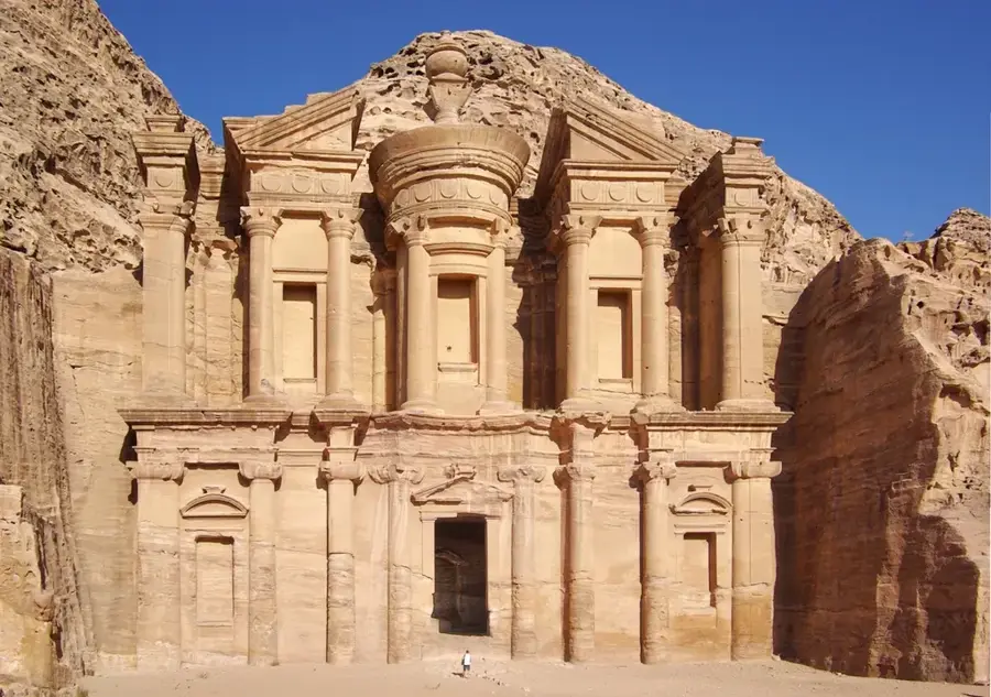
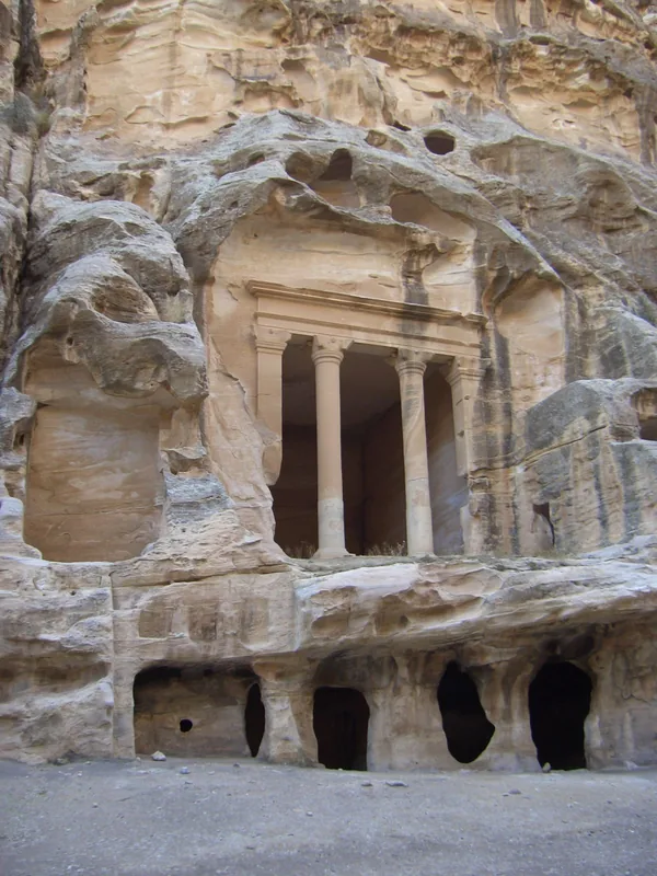
The Sharah Mountains form the southern part of the Jordanian highlands, stretching near the ancient site of Petra and the town of Wadi Musa. With peaks reaching heights of over 1,500 meters, it is one of the country's most imposing mountain ranges, known for its rugged rock formations and deep canyons. Geologically, the area is dominated by sandstone and limestone, which have been eroded into spectacular monumental shapes over millions of years. Due to its elevation, the climate is significantly cooler than the neighboring Wadi Araba valley, and snowfall is common during the winter months. Historically, the range served as a vital defensive wall for the Nabataeans and contains numerous remains of ancient irrigation systems and fortifications. The Crusader castle of Shobak (Montreal) perches on one of the mountain's spurs, testifying to the region's strategic importance during the Middle Ages. The landscape also provides a unique habitat for a variety of specialized flora and fauna thriving in protected valleys.
- Location: Jordan
- Top sights: Al Dinariyah · Kafr Asham · Talat Umar
- Nearby: Wadi Dhana / Feynan (27 km)
Best time to visit & climate
The most pleasant time to visit is May, Jun, Sep.
| Jan | Feb | Mar | Apr | May | Jun | Jul | Aug | Sep | Oct | Nov | Dec | |
|---|---|---|---|---|---|---|---|---|---|---|---|---|
| Avg °C | 6 | 8 | 11 | 15 | 20 | 23 | 25 | 25 | 23 | 19 | 13 | 8 |
| Rain mm | 45 | 36 | 19 | 10 | 4 | 0 | 0 | 0 | 1 | 7 | 15 | 26 |
📋 Practical info
Geography
Facts
- The highest peaks reach over 1,500 meters above sea level
- Shobak Castle was built in 1115 by King Baldwin I
- The mountains mainly consist of Cretaceous limestone and sandstone
- The region is famous for its ancient terraced farming systems
- Snow regularly covers the peaks in January and February
- The mountain range is a crucial water source for the Petra oasis
Explore nearby
Notable places around
Route planner — Car & Motorhome
Where do you start? We build the route here, with stops and country notes along the way.
© OpenStreetMap contributors · OpenRouteService
Sights in the town Sharah Mountains (5)
Sights nearby
Frequently asked questions
What are the Schara Mountains?
Is it suitable for hiking?
When is the best time for a visit?
Are there viewpoints there?
Is a guide advisable?
Sharah Mountains: where is it located?
Sharah Mountains: what is there to see?
Sharah Mountains: when is the best time to visit?
Sharah Mountains: why is it worth visiting?

Nearby cities
History & landmarks

More places