Plizio Visual Lab
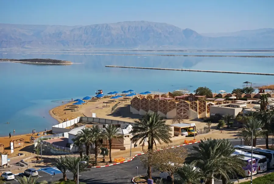
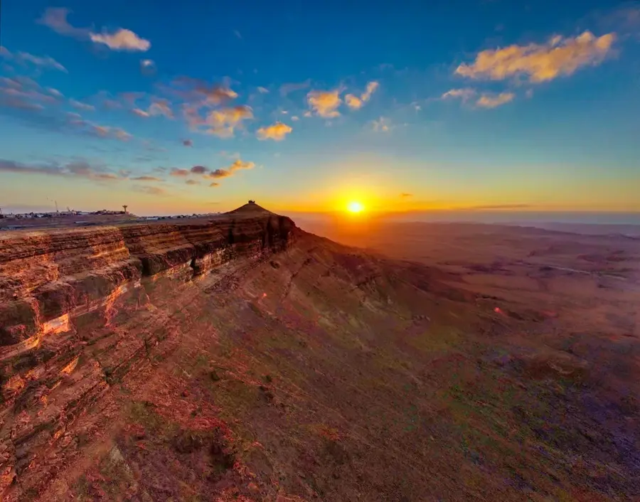
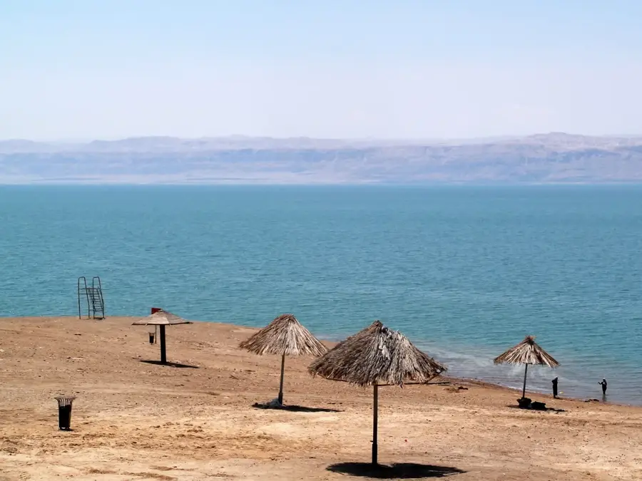
Negev Desert

Weather…
Water temperature…
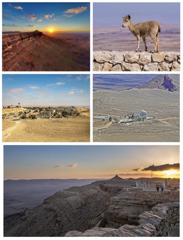
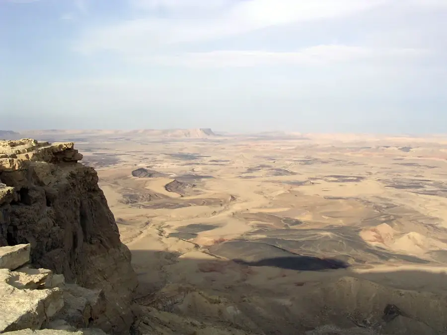
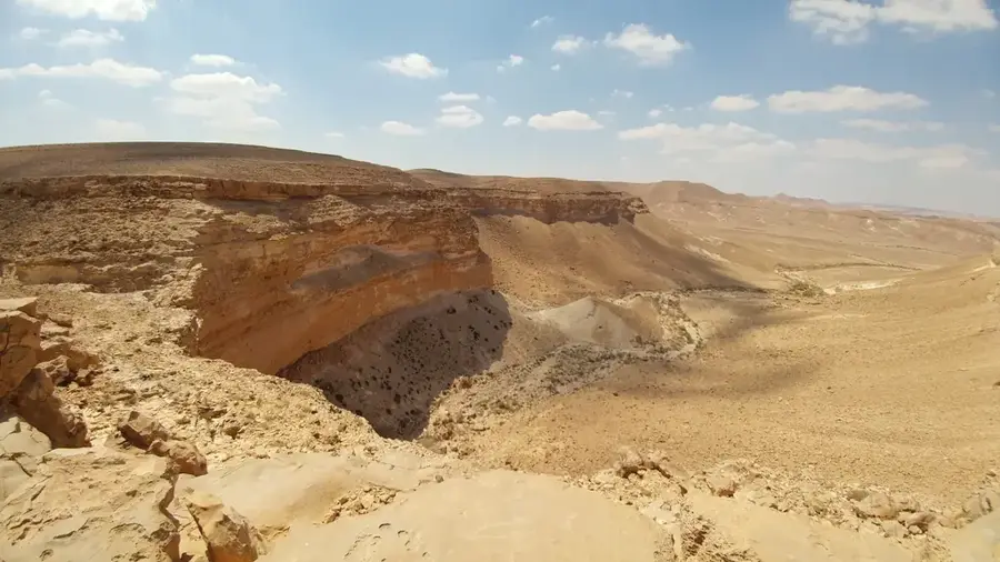
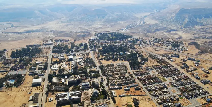
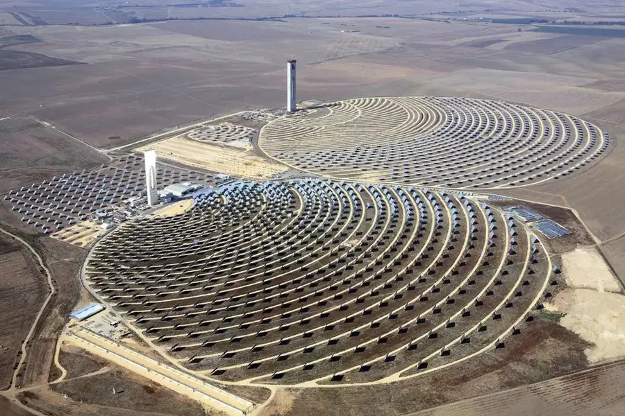
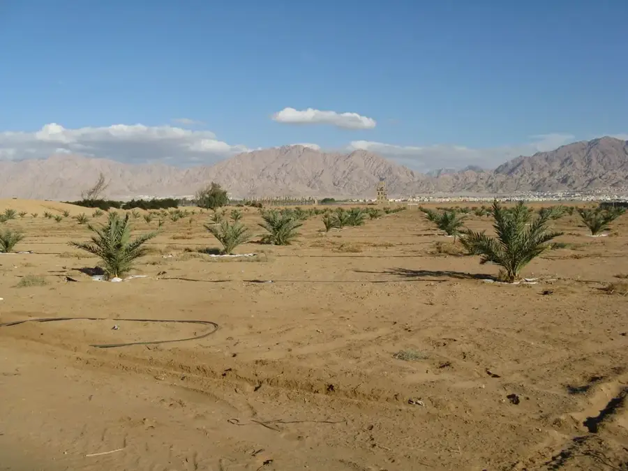
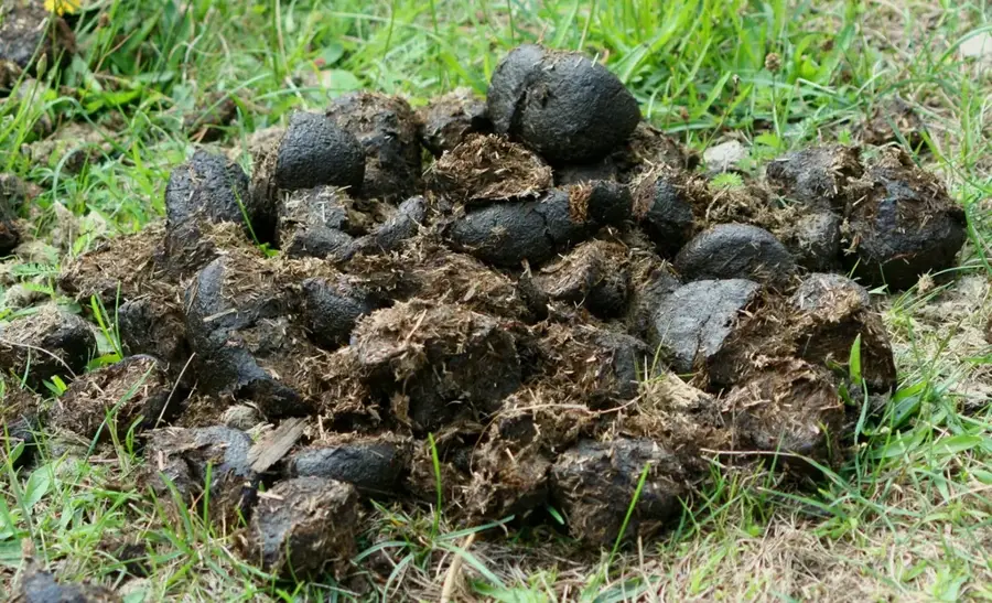
The Negev Desert covers over 55% of Israel's landmass, spanning approximately 13,000 square kilometers in the southern part of the country. Geologically, the region is world-renowned for its 'makhteshim', unique erosion craters, with Makhtesh Ramon being the largest of its kind globally, stretching 40 kilometers in length. The topography is highly diverse, ranging from loess plains in the north and limestone ridges in the center to rugged granite peaks in the far south near the Red Sea. Historically, the Negev was the domain of the Nabataeans, who developed sophisticated water-harvesting techniques to sustain thriving cities like Avdat along the Incense Route. Today, the desert serves as a global hub for arid-zone agriculture, solar energy innovation, and high-tech research. Despite its hyper-arid climate, the Negev supports a specialized ecosystem featuring Nubian ibexes, desert foxes, and Dorcas gazelles. The landscape is defined by seasonal flash floods that dramatically transform dry wadis into raging torrents, shaping the terrain over millennia.
- Location: Israel
- Top sights: Giv`at Tzahavon · Banshee · Mt. Qirton
- Nearby: Beersheba (69 km)
Best time to visit & climate
The most pleasant time to visit is Apr, May, Oct.
| Jan | Feb | Mar | Apr | May | Jun | Jul | Aug | Sep | Oct | Nov | Dec | |
|---|---|---|---|---|---|---|---|---|---|---|---|---|
| Avg °C | 11 | 12 | 16 | 20 | 24 | 27 | 29 | 29 | 26 | 23 | 18 | 13 |
| Rain mm | 35 | 28 | 15 | 10 | 3 | 0 | 0 | 0 | 2 | 7 | 14 | 20 |
📋 Practical info
Geography
Facts
- The Negev spans 13,000 square kilometers, over half of Israel's area.
- Makhtesh Ramon is the largest erosion crater on Earth at 40 km long.
- The region is home to the world's most advanced desert drip irrigation.
- Mount Ramon is the highest peak in the Negev at 1,037 meters.
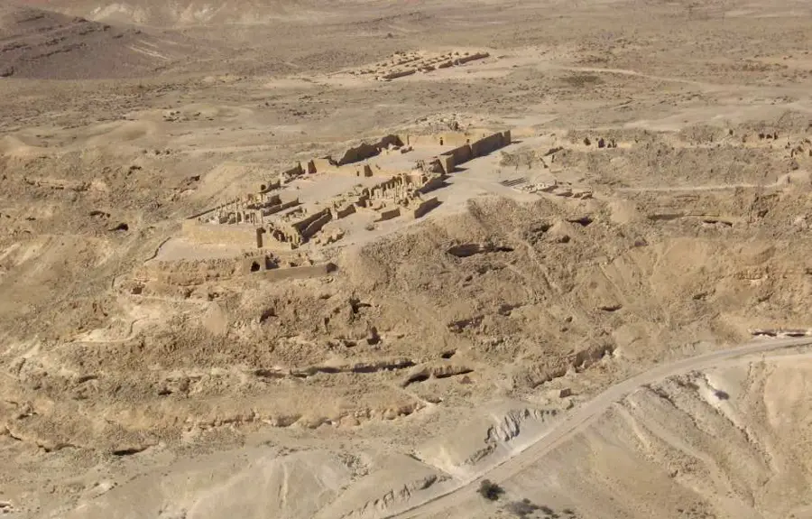
- The Nabataean city of Shivta shows complex ancient water engineering.
- Winter flash floods in the Negev are a major force of geological erosion.
Explore nearby
Notable places around
Route planner — Car & Motorhome
Where do you start? We build the route here, with stops and country notes along the way.
© OpenStreetMap contributors · OpenRouteService
Sights in the town Negev Desert (4)
Sights nearby
Frequently asked questions
What is special about the Ramon Crater?
Can you go hiking in the Negev?
Is there water in the desert?
Is it very cold in the desert at night?
What animals can you see?
Negev Desert: where is it located?
Negev Desert: what is there to see?
Negev Desert: when is the best time to visit?
Negev Desert: why is it worth visiting?

Nearby cities
History & landmarks
Nature
More places