Plizio Visual Lab
Makhoul Mountains
Weather…
Water temperature…
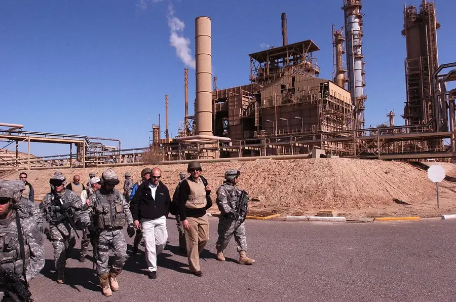
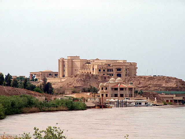
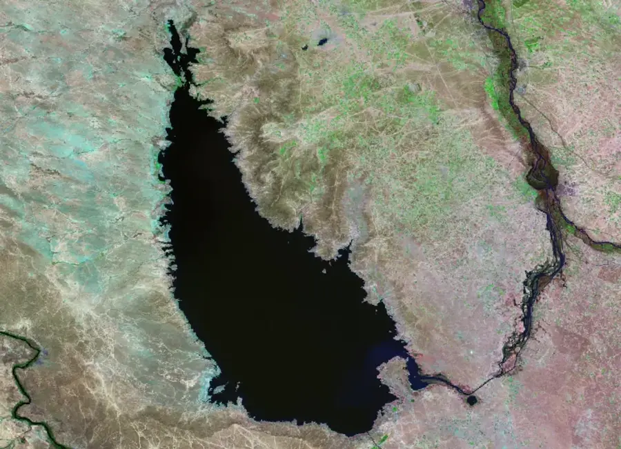
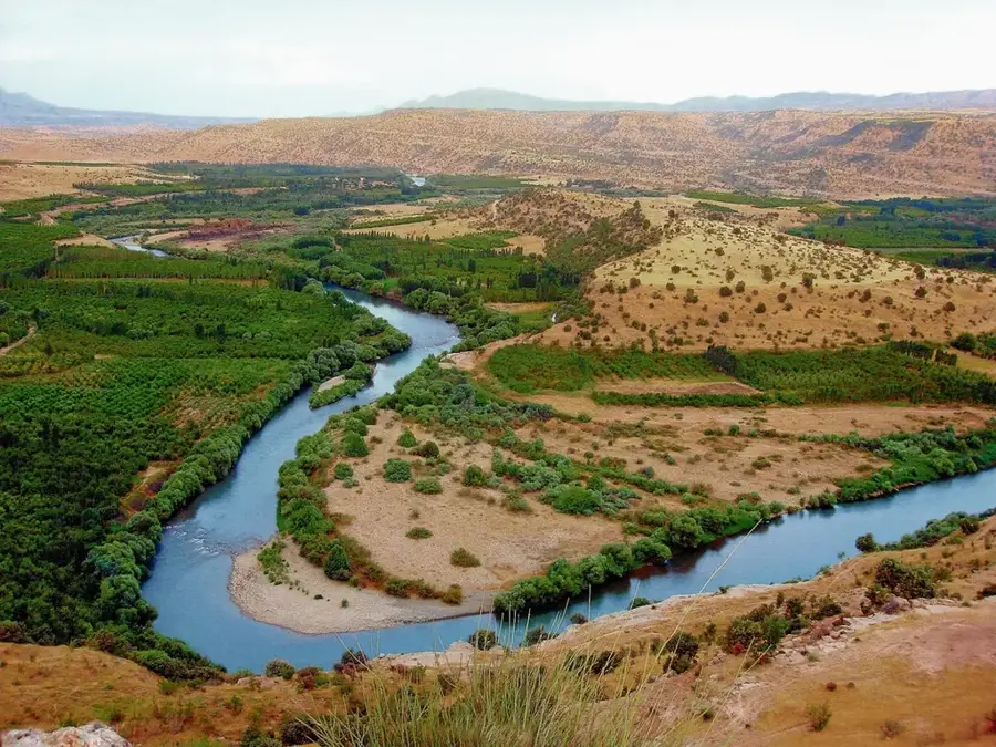
The Makhoul Mountains are a strategically vital range in north-central Iraq, serving as the northern extension of the Hamrin Mountains. This range runs to the west of the Tigris River, acting as a natural barrier between the Kirkuk plains and the Salah ad-Din Governorate. Despite their modest elevation of approximately 400 to 500 meters, the Makhoul Mountains are geographically significant due to their command over the Tigris gap at Al-Fatha. Geologically, they are composed of sedimentary layers rich in minerals and hydrocarbon resources. Historically, the range is home to ruins of ancient fortifications, most notably Qal'at Makhoul, which guarded trade and military routes for centuries. In modern times, the mountains have been a site of significant military engagement, as they overlook critical energy infrastructure, including the Baiji oil refinery. The arid climate results in sparse vegetation, yet the hills remain essential grazing lands for local pastoralists during the winter and spring.
- Location: Iraq
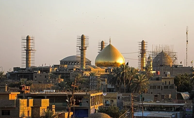
- Nearby: Baiji (35 km)
Best time to visit & climate
The most pleasant time to visit is Apr, May, Oct.
| Jan | Feb | Mar | Apr | May | Jun | Jul | Aug | Sep | Oct | Nov | Dec | |
|---|---|---|---|---|---|---|---|---|---|---|---|---|
| Avg °C | 8 | 10 | 15 | 21 | 27 | 33 | 36 | 36 | 31 | 25 | 15 | 9 |
| Rain mm | 23 | 21 | 23 | 22 | 7 | 0 | 0 | 0 | 0 | 8 | 17 | 22 |
📋 Practical info
Geography
Facts
- The mountains flank the Tigris River at the Al-Fatha gap.
- Geographically considered the northern branch of the Hamrin range.
- Home to the historic Qal'at Makhoul fortress ruins.
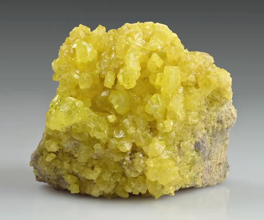
- Rich in industrial minerals, particularly gypsum and limestone.
- Strategically overlooks the major industrial hub of Baiji.
- Average summit elevations range between 400 and 500 meters.
Explore nearby
Notable places around
Route planner — Car & Motorhome
Where do you start? We build the route here, with stops and country notes along the way.
© OpenStreetMap contributors · OpenRouteService
Sights nearby
Frequently asked questions
Where are the Makhoul Mountains located?
Are there historical fortresses there?
What is the nature like in this region?
Can you visit the mountains?
Are there wild animals there?
Makhoul Mountains: where is it located?
Makhoul Mountains: when is the best time to visit?
Makhoul Mountains: why is it worth visiting?

Nearby cities
History & landmarks
Nature
More places