Plizio Visual Lab
Baghelkhand Plateau
Weather…
Water temperature…
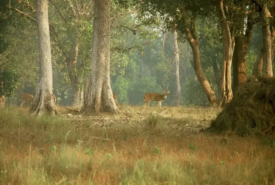
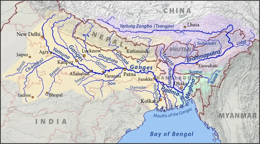
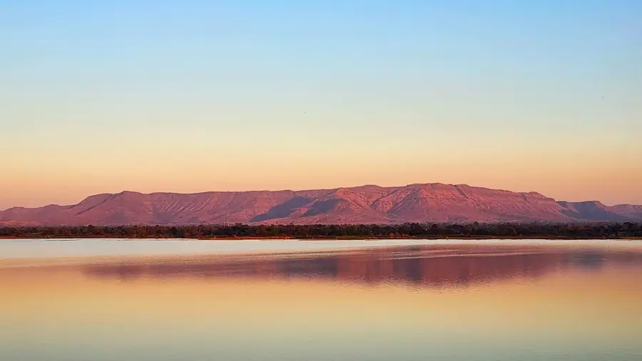
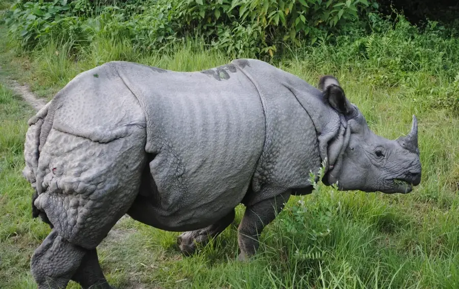
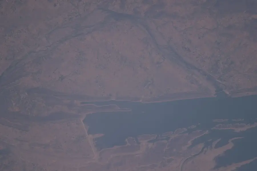
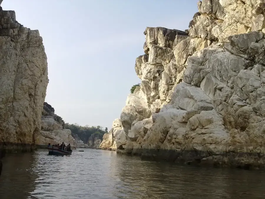
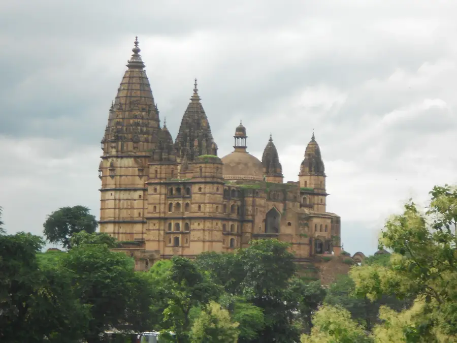
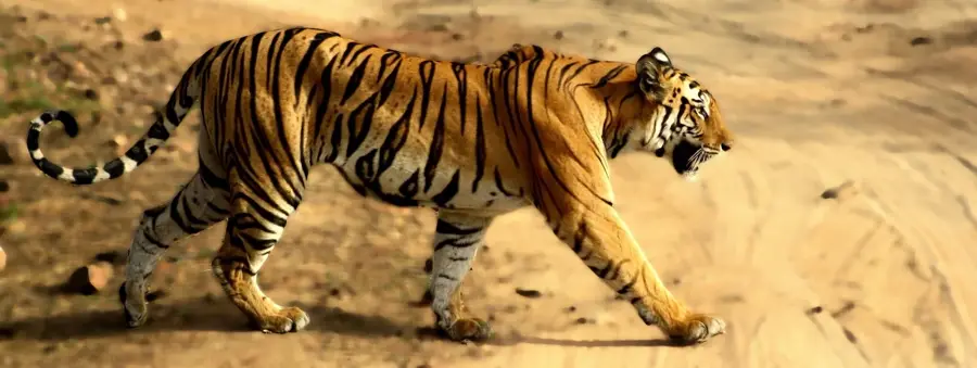
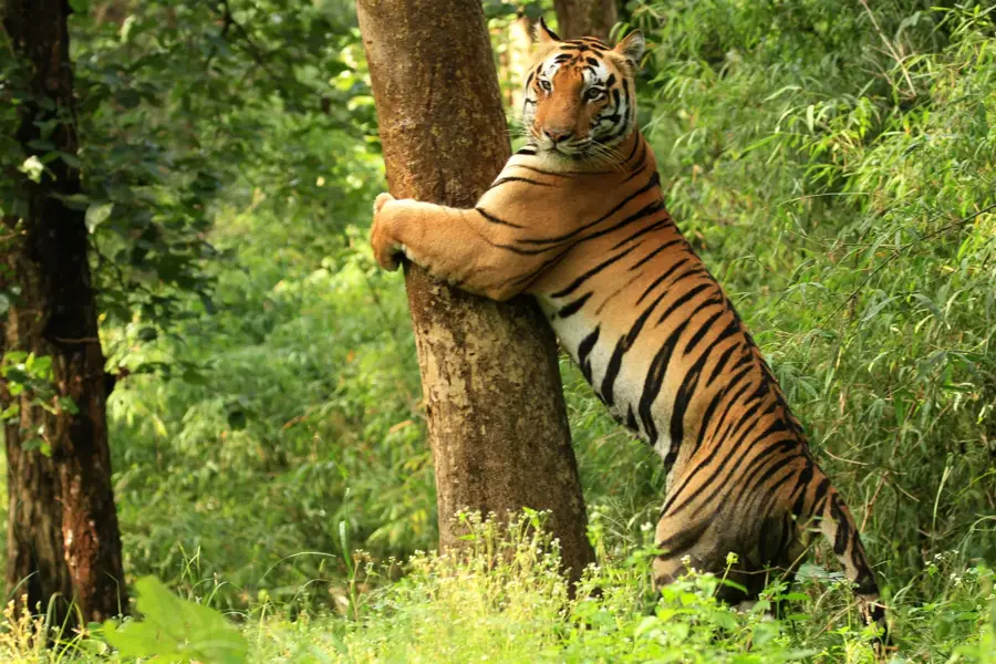
The Baghelkhand Plateau is a geographic region in Central India, spanning across parts of eastern Madhya Pradesh and southern Uttar Pradesh. Located east of the Maikal Range, it is bordered by the Indo-Gangetic plains to the north. Geologically, the plateau is composed of a mix of ancient Archean gneisses and sedimentary rock formations like sandstone and limestone from the Vindhya Supergroup. The terrain is characterized by rolling hills dissected by deep river valleys, most notably that of the Son River. The region is rich in mineral resources, including significant coal, bauxite, and limestone deposits which support local industries. The climate is tropical monsoon, with hot summers and cool winters. Historically, the plateau was the stronghold of the Baghela dynasty, from which it takes its name. The dense forests of the region, such as those in Bandhavgarh National Park, are world-renowned for having one of the highest densities of Bengal tigers.
- Location: India
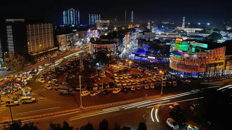
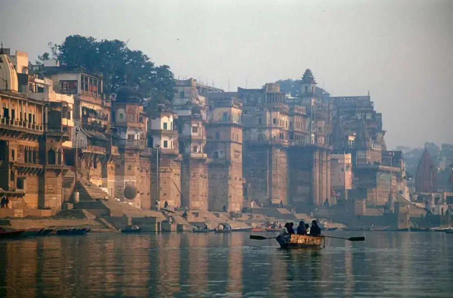
- Nearby: Prayagraj (Allahabad) (28 km)
Best time to visit & climate
The most pleasant time to visit is Feb, Nov, Dec.
| Jan | Feb | Mar | Apr | May | Jun | Jul | Aug | Sep | Oct | Nov | Dec | |
|---|---|---|---|---|---|---|---|---|---|---|---|---|
| Avg °C | 16 | 20 | 26 | 31 | 35 | 33 | 28 | 27 | 26 | 23 | 20 | 17 |
| Rain mm | 18 | 21 | 18 | 14 | 21 | 147 | 324 | 296 | 182 | 47 | 6 | 7 |
📋 Practical info
Geography
Facts
- The Son River is the primary drainage system of the Baghelkhand Plateau.
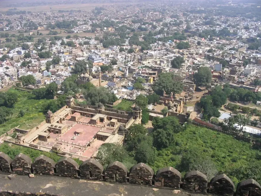
- Rewa was the historical capital of the Baghela Rajput rulers of this region.
- The first white tiger caught in the wild was found in the Rewa forests in 1951.
- The plateau's elevation ranges between 450 and 600 meters above sea level.
- Singrauli is home to some of the largest open-cast coal mines in India.
- The Kaimur Range forms a natural northern boundary for the plateau.
Explore nearby
Notable places around
Route planner — Car & Motorhome
Where do you start? We build the route here, with stops and country notes along the way.
© OpenStreetMap contributors · OpenRouteService
Sights nearby
Frequently asked questions
Where is the Baghelkhand Plateau located?
Which national park is nearby?
Is the plateau developed for tourism?
What is the city of Rewa famous for?
When should you visit the region?
Baghelkhand Plateau: where is it located?
Baghelkhand Plateau: when is the best time to visit?
Baghelkhand Plateau: why is it worth visiting?

Nearby cities
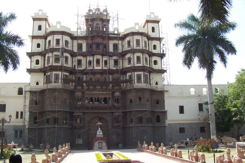
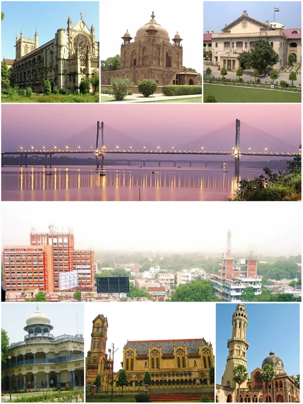
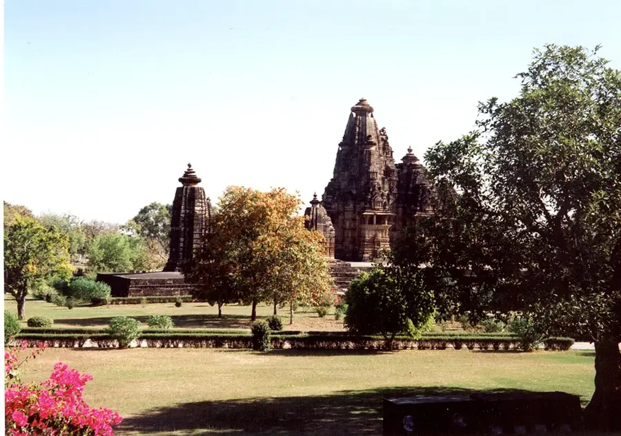
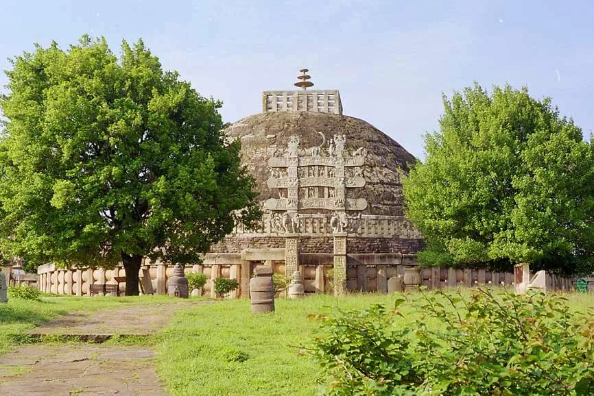
History & landmarks
Nature
More places